Anaconda Range
Mount Haggin
Download KML
Distance
7.5 miles one way
Type
Day hike
Difficulty
Hard
- Starting Elevation: 5400 ft.
- Ending Elevation: 10607 ft.
- Elevation Gain: 5207 ft.
 View all 15 photos
- Experience Date: Sep 12, 2019
- Hike Time: 8-10 hrs.
- Drive Time: 2 hrs.
- Road Condition: No mountain roads. Accessible by any vehicle
- Parking: Park in the town of Anaconda at the Church of Christ parking lot or a side street.
- Fees: None.
- Campsite Availability: Camping prohibited.
- Private Property: None posted.
- Trail Traffic: None.
- Trail Condition: Road to Hearst Lake. Decent spur trail leading to summit from lake.
- Fire Restrictions: None.
- Stream Crossings: None.
- Water Sources: Hearst Lake.
- Snow: Very light dusting near top.
- Winter Access: Trailhead accessible.
- Weather: Partly Cloudy. Pleasant. 70's.
- Bugs: None.
- Wildlife Sighted: None.
- Side Quests: None.

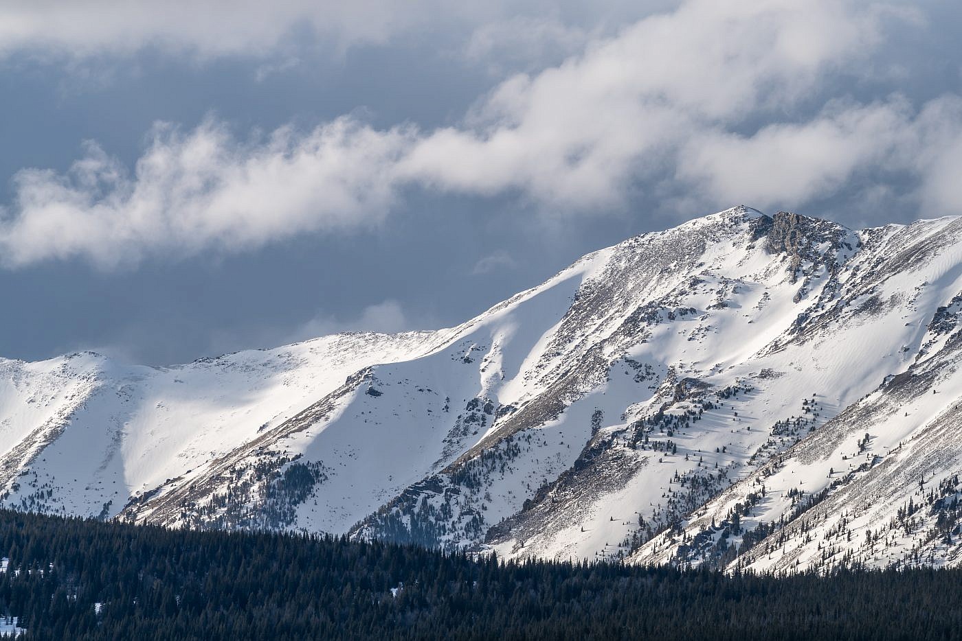
Mount Haggin (10,607′) is one of tallest and most iconic peaks of the Anaconda Range towering high over the small town of Anaconda just west of Butte. Despite being a challenging hike that climbs a staggering 5,200′ in over seven miles the route is mostly straightforward. The first section follows an old road, appropriate for biking, up to Hearst Lake which is a great destination on it’s own. Spur trails lead west from the lake up to a small drainage at the foot of Haggin which is followed by a steep scramble up it’s northeast flank. Hearst Lake and the surrounding drainages serve as a water source for the town of Anaconda so camping is prohibited in the area. Since the trailhead is right in the town of Anaconda it can be accessed by any vehicle.
Mount Haggin.
Background
And so would begin my 2nd week as a full time peakbagger. For my first week I had knocked out both West Goat Peak of the Anacondas and Table Mountain of the Highlands. I’d wanted to do more but the weather continued to be frustratingly uncooperative, as it had been for much of the summer. I was feeling more optimistic about my 2nd week though. Thankfully every day looked clear so I became determined to make the best of my time and knock out as many peaks as possible. The only problem was which one do I start with?
I first discovered Mount Haggin (10,607′) of the Anacondas the previous winter on a trip to Philipsburg, MT. It’s not the highpoint of the range but is still a formidable opponent and its slopes form the southern boundary of the town of Anaconda, MT giving this mountain somewhat of a celebrity status for locals. Strangely enough, despite being so close to both Anaconda and Butte there’s surprisingly little information out there. I consulted several sources including SummitPost, PeakBagger, and Big Sky Walker and discovered the route to be simple and intuitive; you basically just follow an old road to Hearst Lake and then shoot for the top! You do, however, ascend more than 5,000′ of elevation over 7.5 miles so be prepared for a long day.
The Adventure Begins…
I again spent the previous night at the Toll Mountain Campground, just an hour from the trailhead in Anaconda, MT. I awoke that that day feeling a little nervous and apprehensive. I anticipated Haggin to possibly be the most difficult peak on my list and it looked like it was going to be a very hot and sunny day which, although better than storms, poses its own challenges and risks.
As I drove through Butte along I-90 I studied this monstrous mountain which can be seen to the west on the horizon. It was a misty morning and cloudier than expected so much of my apprehension dissipated by the time I reached the trailhead at the highly unusual location of the Church of Christ parking lot in Anaconda, MT.
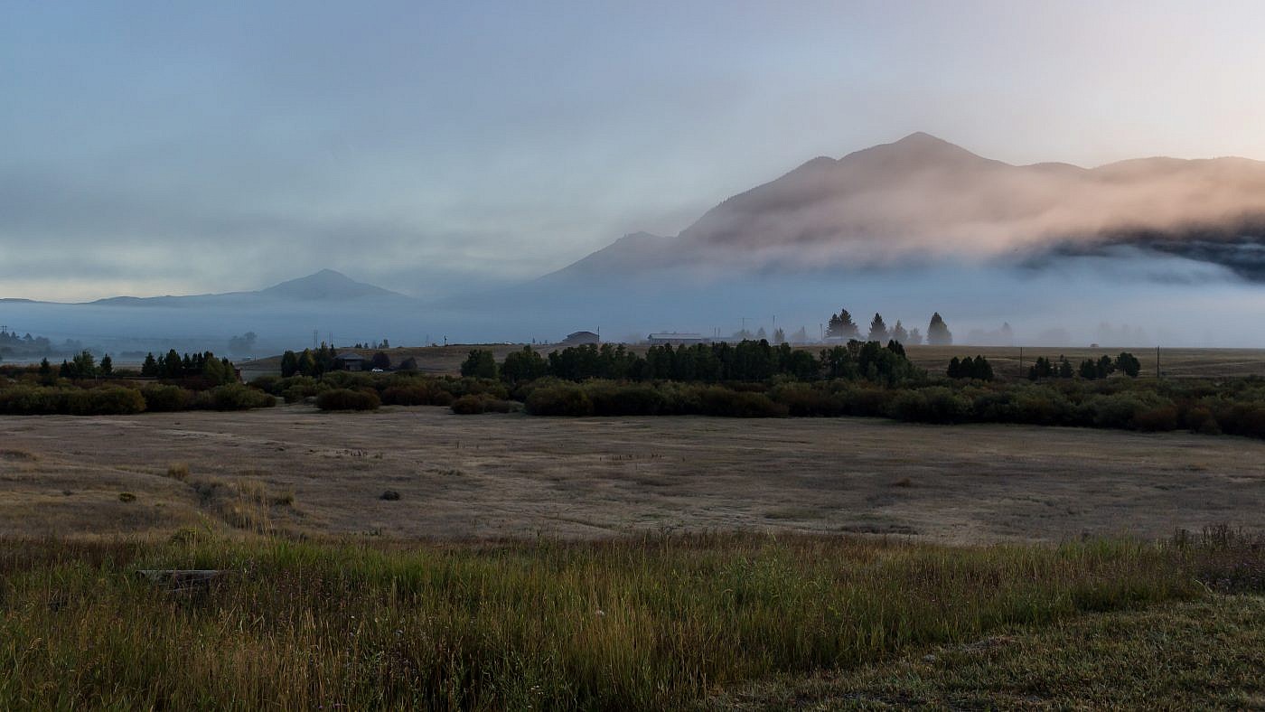
A misty mountain morning on my way through Butte.
On the Trail
The first thing I noticed at the trailhead was a gate with a sign listing some trail restrictions including that overnight camping is prohibited. It also said walk-ins only and since I was planning on biking the first section to Hearst Lake I wondered if bikes were considered “walk-ins”. I had really been looking forward to biking this one though and decided since the sign wasn’t very explicit I’d go ahead and do it anyway.
The first six miles are on an old road which takes you to Hearst Lake at the base of Haggin. It’s a steady incline the entire way with several steeper sections that I had to walk my bike up and is mostly shaded except for the start which is through some open grasslands. Contrary to the weather reports it didn’t get nearly as hot as I’d expected and some clouds rolled in shortly after I started providing extra relief. The road is all-around great for biking (if you’re experienced) and I made the six mile journey to Hearst Lake in just under 3 hrs. which is pretty good time if you ask me!
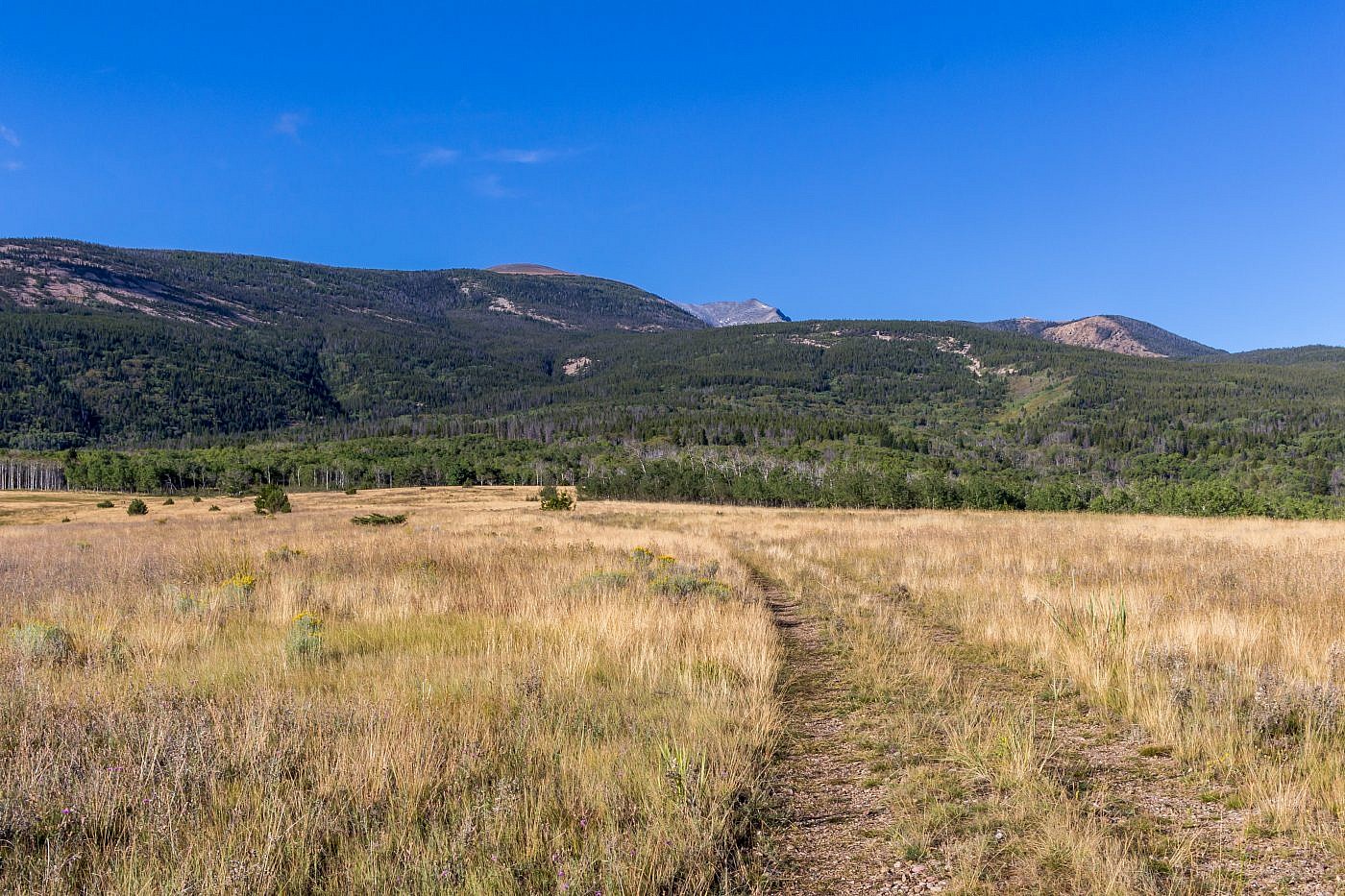
The hike starts with a short jaunt through open grasslands before entering the trees and staying shaded the rest of the way to Hearst Lake 6 miles in. You can just barely see Haggin peaking out in the center of picture.
Some clouds rolled in for a bit completely obscuring the summit of Haggin. This road is perfect for biking which I highly recommend if you’re relatively experienced.
Hearst Lake
I was feeling excellent by the time I rolled in to Hearst Lake and after a quick lunch on the shores of the lake I began preparing my pack for the final ascent up to the summit of Haggin. The route to the top is relatively simple since you can literally see your destination from the lake and there’s a decent spur trail leading all the way to the top. You start by working your way westward along the northern shores of the lake and then ascend a steep slope to a small drainage below Haggin. Then follow the drainage south all the way to the top.
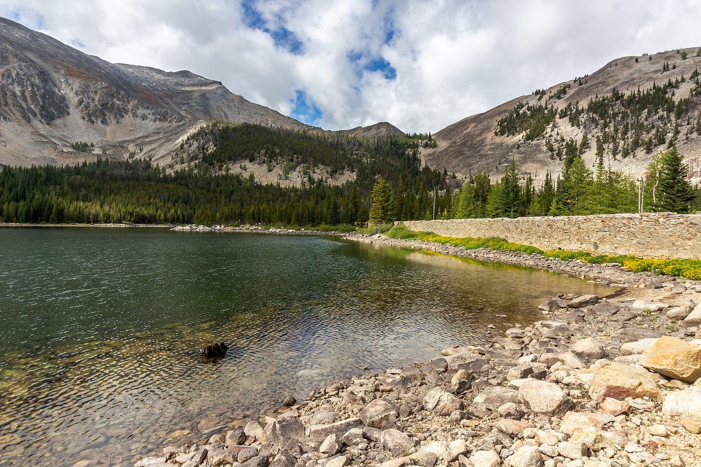
Hearst Lake. Mount Haggin is the little blip on the ridge to the left. From here follow spur trails to the west end of the lake, ascend the slopes to a small drainage, and then head south up the drainage all the way to the summit.
A Dried up Lake
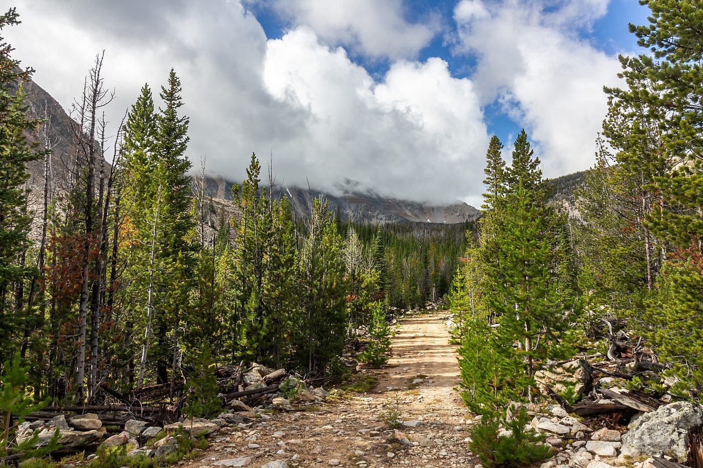
Once you ascend the slopes west of Hearst Lake you’ll find yourself in a dried up lake basin. I speculate that this is a shallow lake earlier in the season but it’s hard to say for sure. From here the reports suggest following a wire cable that supposedly parallels the drainage. Shortly after entering the woods south of the lake basin I did indeed discover this mythical wire cable and followed it to another flat area with a well-established campsite and an old cabin. It was fun to explore the spooky cabin a bit; you never know what you might discover in these remote places!
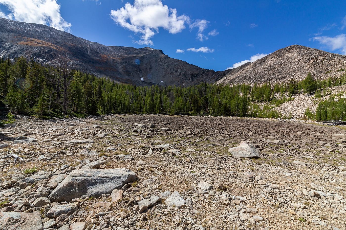
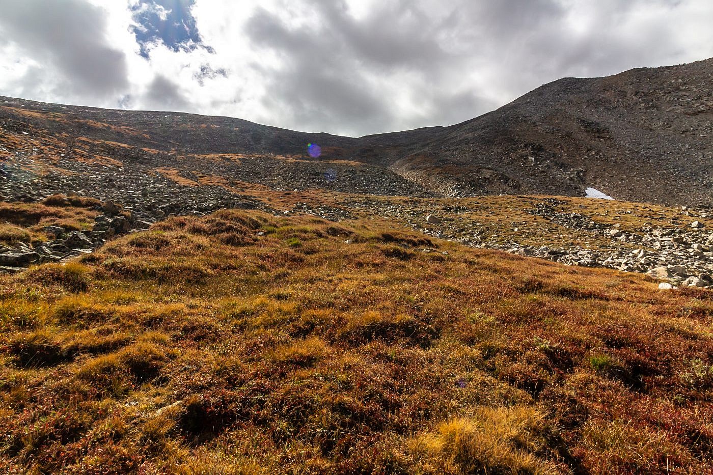
The dried up lake basin.
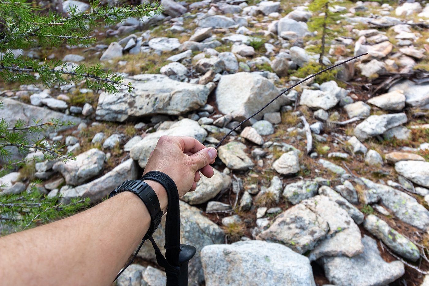
The mythical wire cable from the online reports. It roughly parallels the spur trails leading south from the dried up lake basin all the way to the summit. I wonder what it was used for?
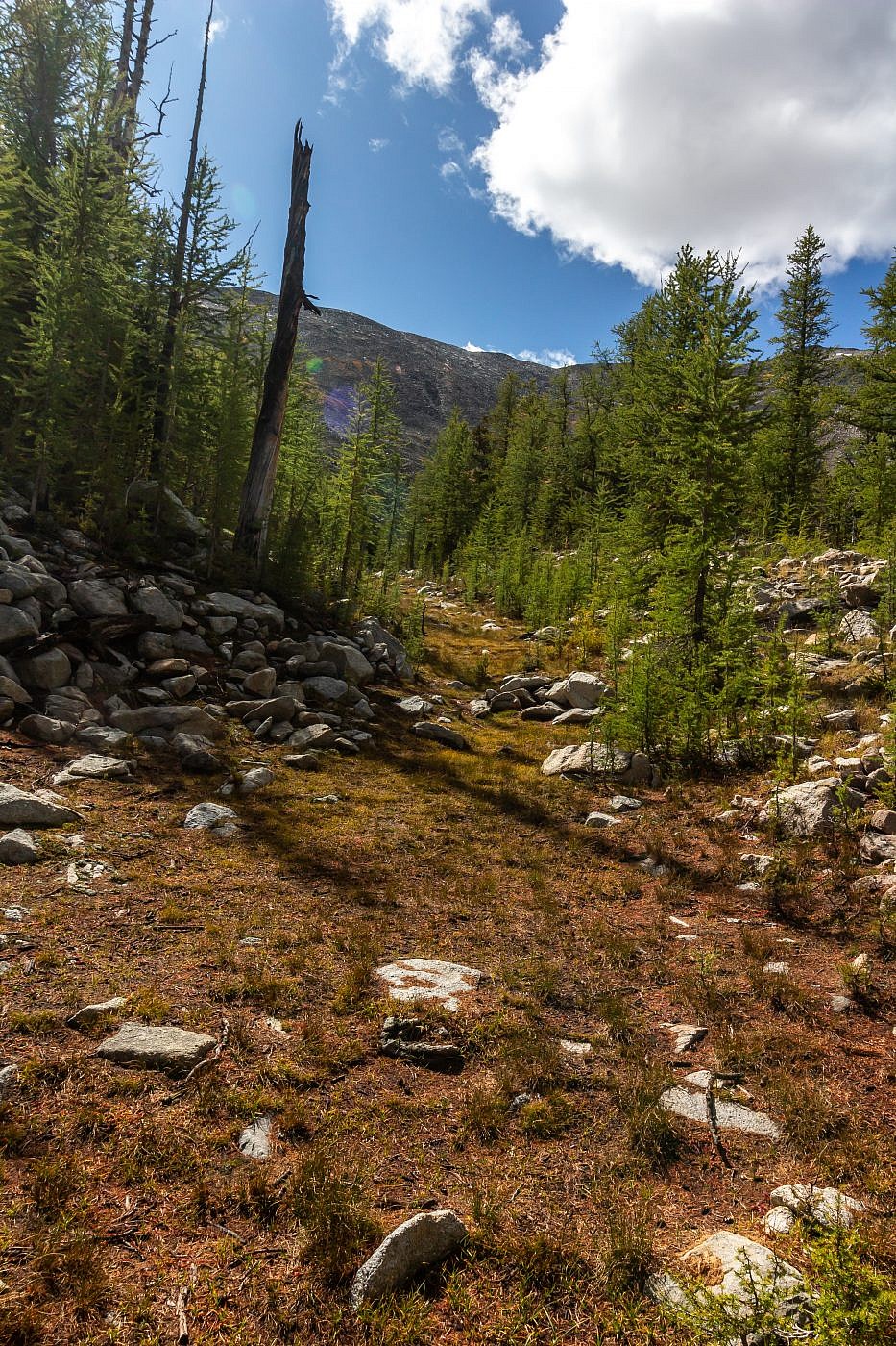
A nice drainage will lead you to the 2nd flat area.
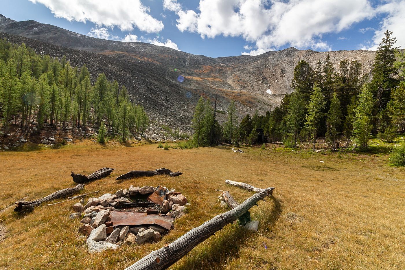
The 2nd flat area complete with fire ring and plenty of space for camping. I cannot advise camping here though since the sign at the start says not to but I highly doubt anyone would know.
Mount Haggin Summit
Once you leave the second flat area the real climb begins. I lost track of the spur trail on this section but stuck to the grassy areas as much as possibly for better traction and stability. Near the top I encountered a bit of fresh snow which made the talus scramble somewhat precarious. It wasn’t until the descent that I rediscovered the spur trail which leads safely through this talus.
The final ascent up Haggin.
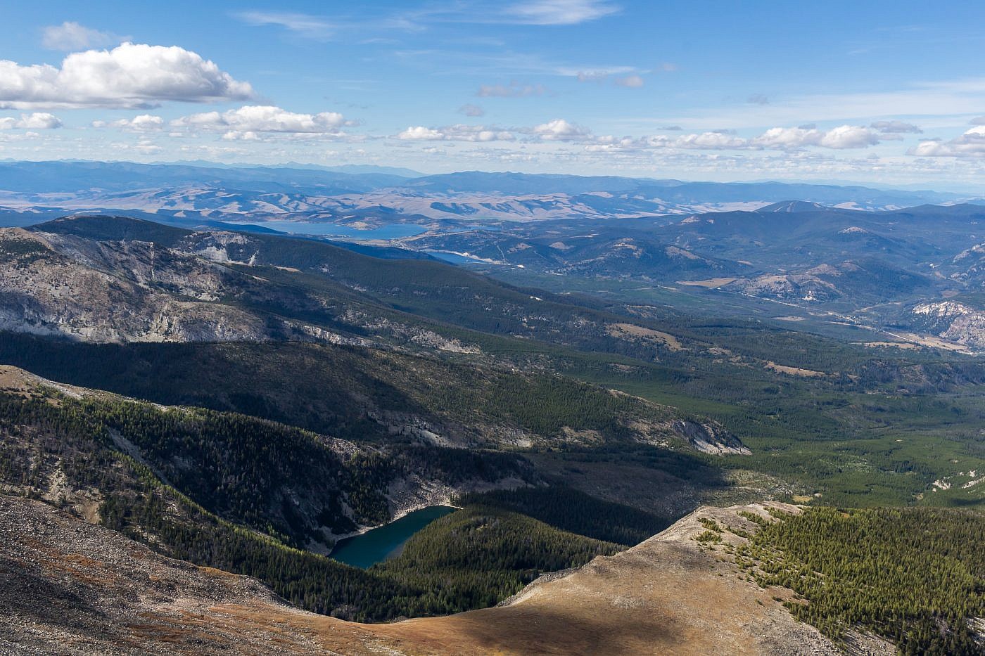
Looking north from the summit. Hearst Lake on the right and Haggin Lake on the left. Flint Creek Range in the distance on the left.
Looking northwest from the summit. Barker Lakes basin in the foreground and Georgetown Lake in the distance on the left.
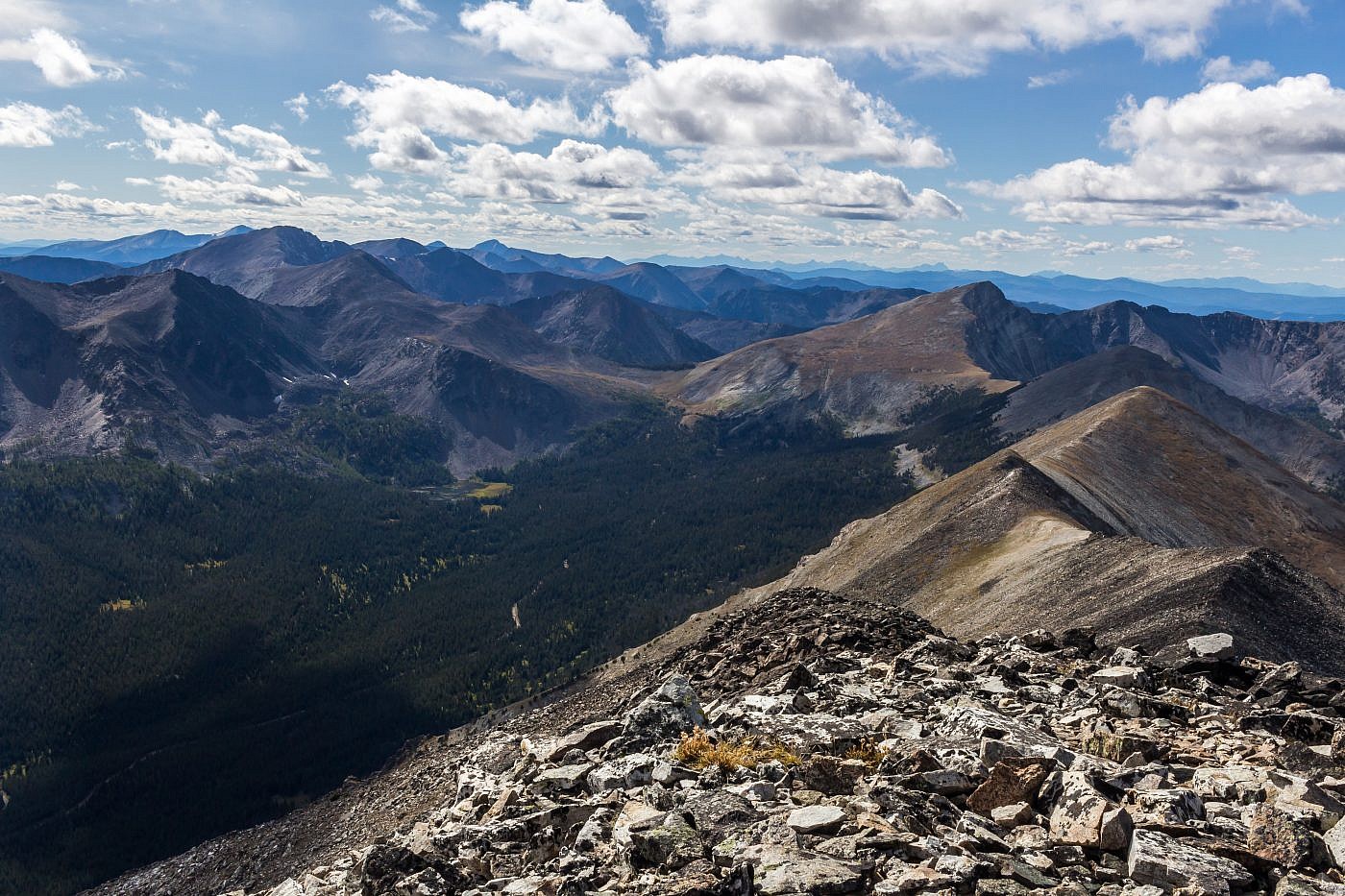
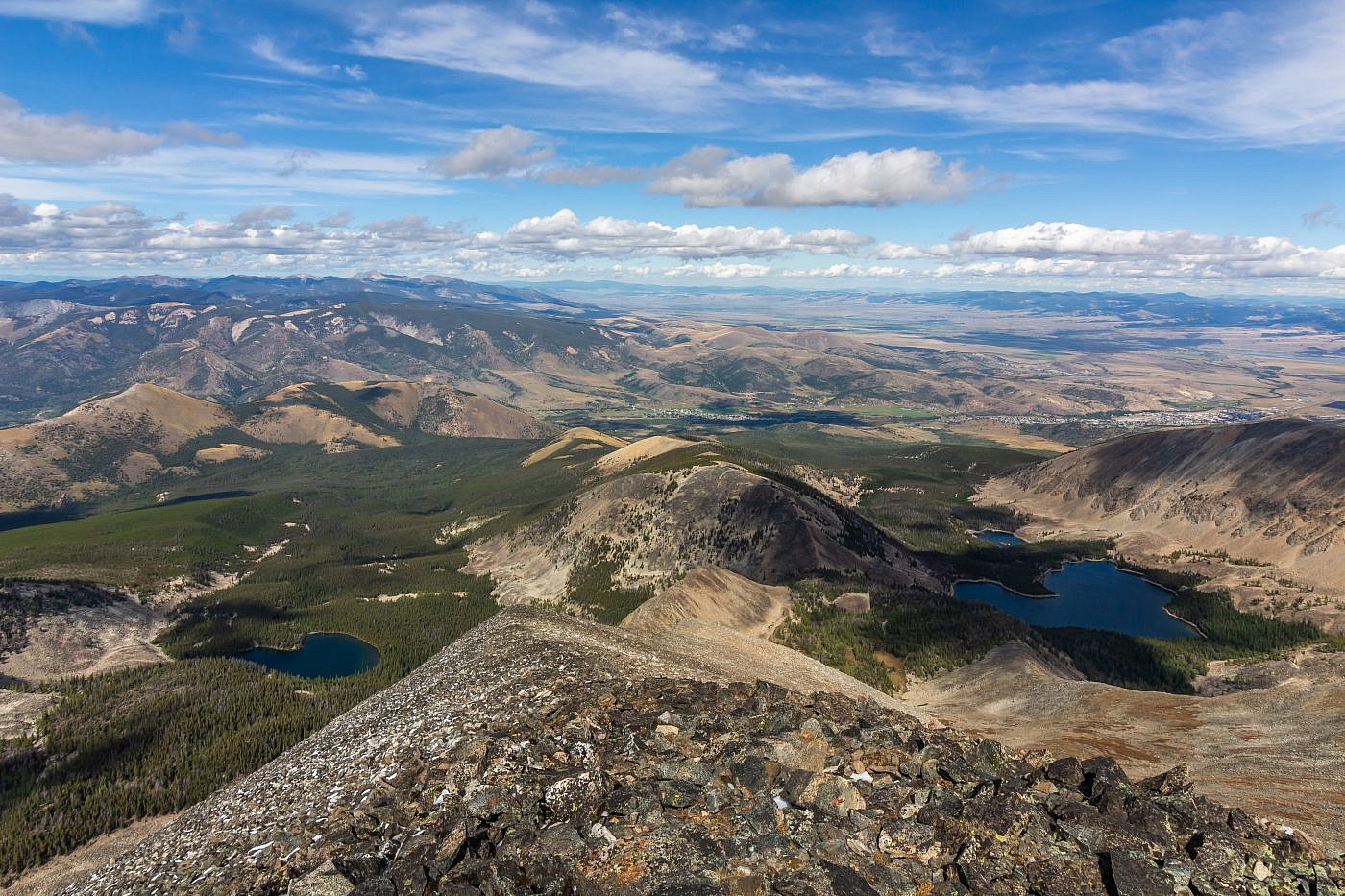
Looking west from the summit. A road leads deep into the drainage on the left which looks like a great place to establish a base camp for exploring some of the other peaks in the area or maybe an alternate route up Haggin.
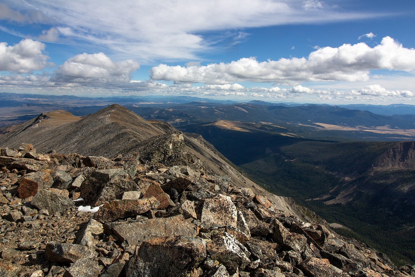
Looking east from the summit. The bare area in the center of the image is Grassy Mountain. A road leads to the top where there’s an old run-down lookout. This is another great bike destination.
The Return
The return was a complete delight. The descent was much simpler with the aid of the spur trail and the bike ride down from Hearst Lake was exhilarating. I was feeling great, both mentally and physically, as I rode in to the trailhead which was a surprise since the comparable West Goat Peak had gotten the best of me the previous week. I think it was because I was able to bike the last six miles of Haggin which turned a tedious two hour minimum hike into a pleasing 45 min. bike ride.
As I hit the road I immediately began planning my net move. I felt so good I didn’t think a recovery day was necessary so I grabbed a beer at the Smelter City Brewery in Anaconda to mull over what peak to slay next. I didn’t want to drive too far so I decided that Stine Mountain, the highpoint of the West Pioneers, would be my next objective. After my beer I skimmed the camping options and ended up at the Beaverdam Campground, about halfway between Anaconda and the trailhead for Stine, setting me up perfectly for the next day.
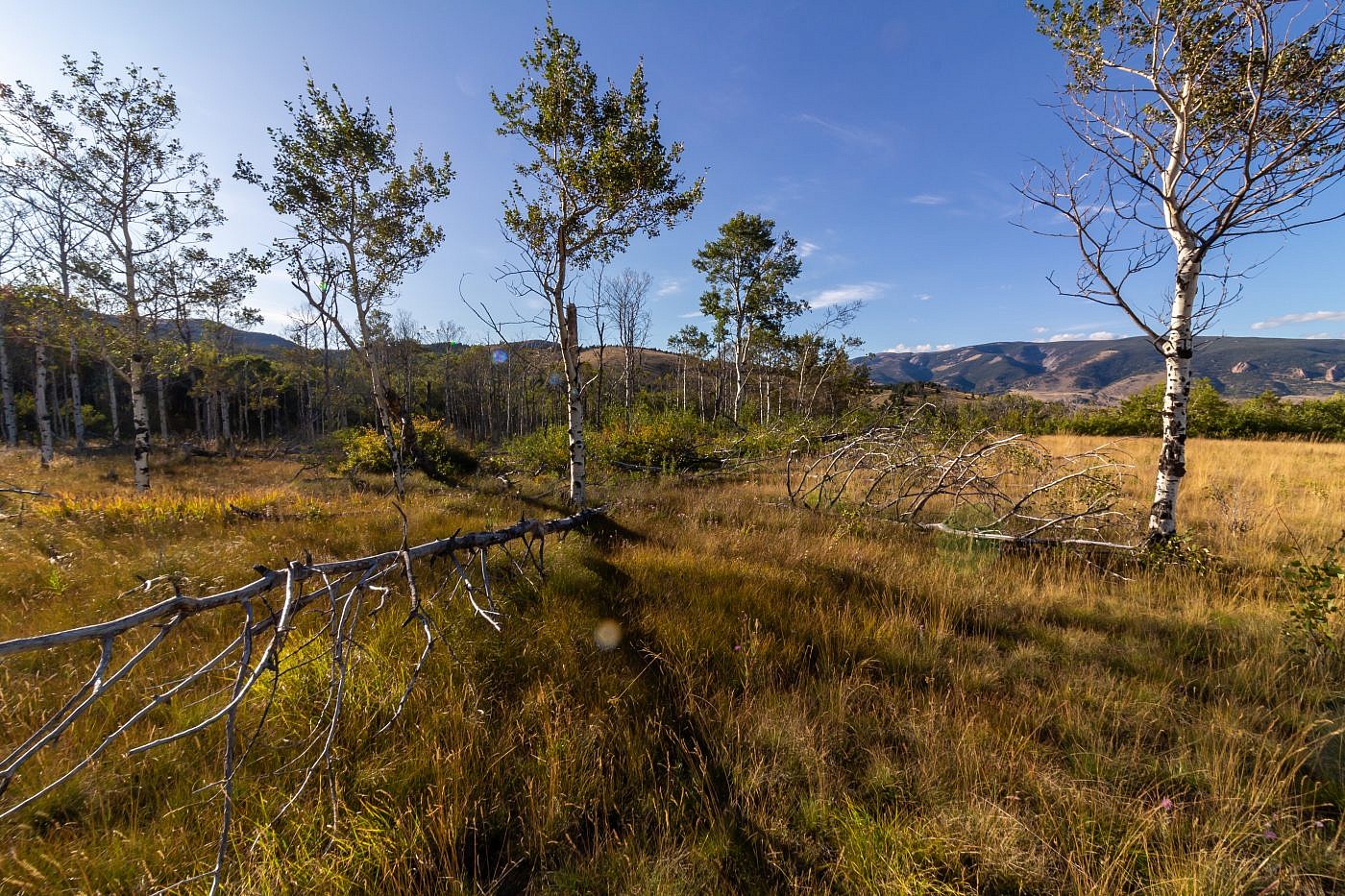
A beautiful aspen grove on the return.
