Highland Mountains
McCartney Mountain
Download KML
Distance
5 miles one way
Type
Day hike
Difficulty
Moderate
- Starting Elevation: 5800 ft.
- Ending Elevation: 8364 ft.
- Elevation Gain: 2564 ft.
 View all 13 photos
- Experience Date: Apr 25, 2020
- Hike Time: 6 hrs.
- Drive Time: 2 hrs. 30 min.
- Road Condition: Rough and narrow dirt road. 2 WD accessible. High-clearance recommended. Can drive to within a mile of the summit with a high-clearance vehicle.
- Parking: No definite parking lot. Park along road where convenient.
- Fees: None.
- Campsite Availability: Plenty of camping spots along road or trail.
- Private Property: None posted.
- Trail Traffic: Several groups of ATV's. No hikers.
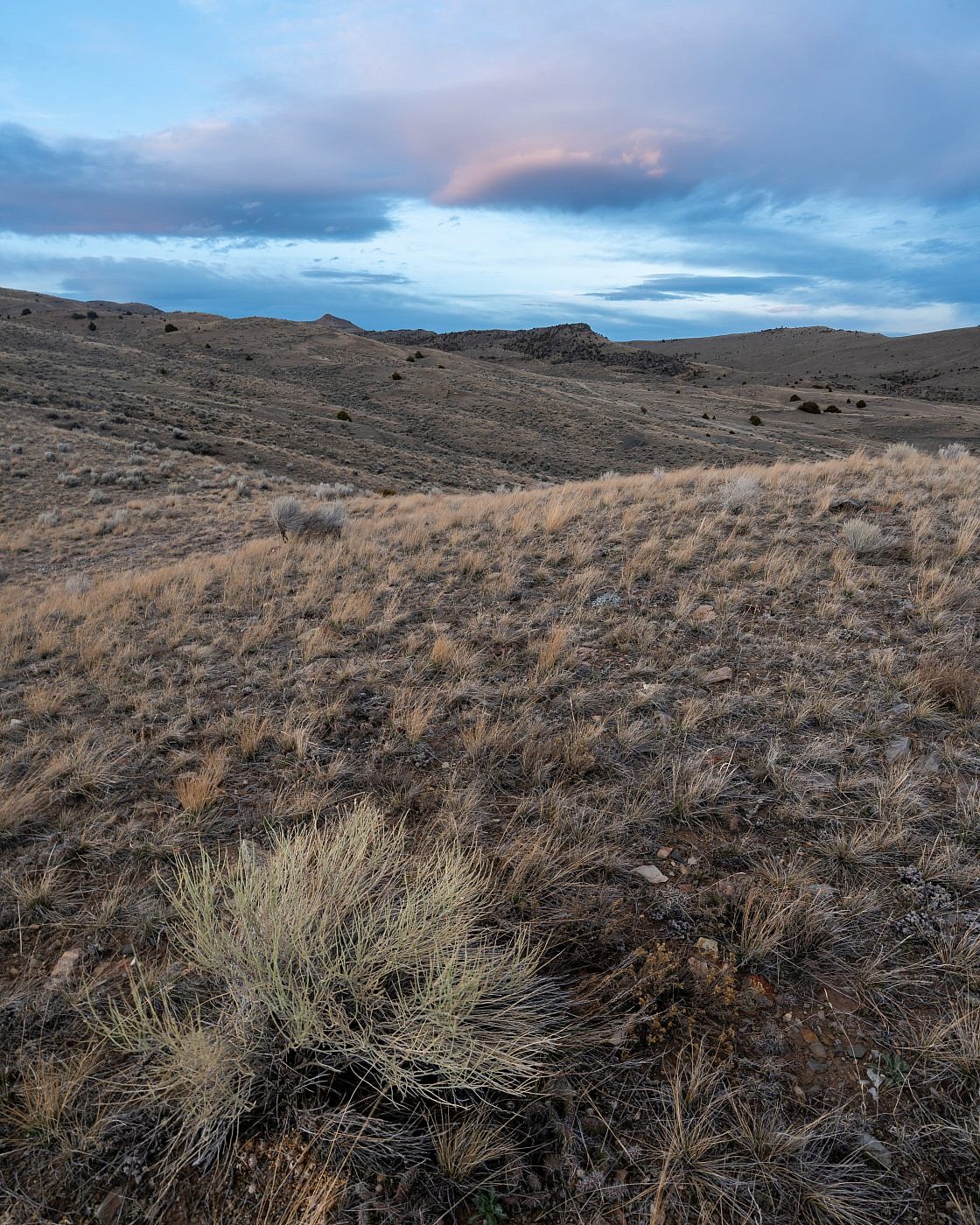
- Trail Condition: First 4 miles are on an ATV track. Last mile is off trail with some moderate bushwhacking.
- Fire Restrictions: None.
- Stream Crossings: None.
- Water Sources: None.
- Snow: Problematic snow patches along the last mile.
- Winter Access: Probably accessible.
- Weather: Cloudy and cool. 50's.
- Bugs: None.
- Wildlife Sighted: None.
- Side Quests: Bell Peak.

McCartney Mountain (8,364′) is the highpoint of a small sub-range of the Highland Mountains just north of Dillon, MT. The route to the top mainly follows an ATV road from the south end of the range near Bell Peak, the only other named peak in the range. This road will take you to the top of the main north-south ridge of the range which you can then follow to the almost view-less summit; a high-clearance vehicle will actually get you to the top of the ridge. There is some troublesome bushwhacking during the last section and you’ll be in prime rattlesnake habitat so be extra cautious. Bell Peak would be a simple side quest and would probably provide better views of the area than McCartney.
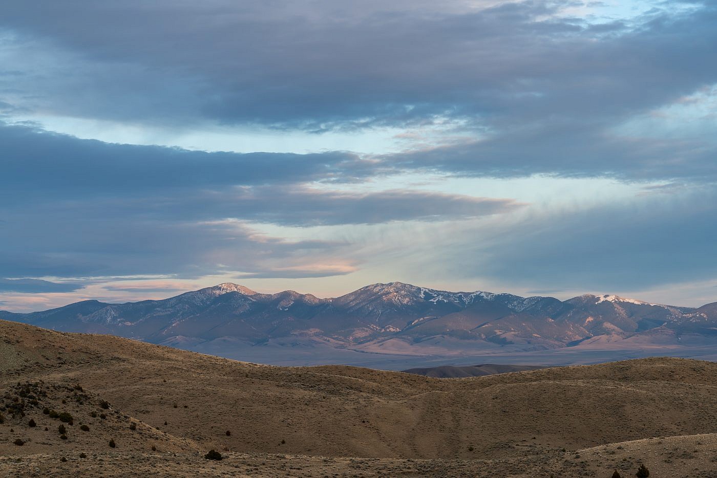
McCartney Mountain (far right).
Background
Just east of I-15 near the unincorporated town of Glen, MT is a small unnamed mountain range consisting mainly of a grouping of small hills surrounded by long, narrow canyons. From what I’ve gathered this is technically a sub-range of the Highland Mountains to the north but it is more geologically similar to the Tobacco Root Mountains to the east. I first noticed this tiny range from the summit of Sugarloaf Mountain, a smaller mountain on the eastern edge of the Pioneers, in June of 2019. From this vantage point I could easily see the high point, which I later found out to be named McCartney Mountain (8,364′). While I felt no immediate urge to explore the small range it looked like a worthwhile early-season destination to investigate in the future and so it sat on the back burner for almost a year.
Looking east at the small sub-range from the summit of Sugarloaf Mountain of the East Pioneers. McCartney Mountain is the high point in the center left. Bell Peak is the southernmost point (on the right) and only other named point in the range.
By the end of April 2020 I was really starting to get the itch to climb a mountain even if it was something smaller-I just needed that feeling of being on top of something. This inspired me to dig deeper into some of the sub-range high points I had added to my list over the previous year and McCartney Mountain is the one that intrigued me the most. After some quick online research I discovered that while the whole area is on public land (always a relief) information about the route to the top was scarce. I only found one reliable trip report on it but it was enough to get me started. The route to the top mainly follows an ATV road from the south end of the range near Bell Peak. This road will take you to the top of the main north-south ridge of the range which you can then follow to the summit.
The southern end of the McCartney Mountain Range. Bell Peak is the prominent point in the center and McCartney Mountain is just behind it on the left.
The Adventure Begins
I once again spent the previous night near the Toll Mountain Campground just south of Homestake Pass. The campground was actually closed because of the COVID-19 pandemic but I was able to snag a flat spot on some nearby National Forest land. Having hiked the London Hills highpoint, Doherty Mountain, the previous day I decided to continue the trend and shoot for McCartney Mountain. I also wanted to summit Bell Peak along the way up McCartney but would have to wait and see how I was feeling when I got there.
Getting to the the trailhead is a little complicated so I’ll describe it in detail: From I-15 take Exit 85 and head south on Highway 91 towards the small town of Glen, MT. After about 4 miles take a left on Burma Road (dirt road) and head east. You’ll pass Glen Campground along the way and cross the Big Hole River. After about 3 miles take a left onto a more primitive dirt road at Chokecherry Gulch and follow it up the canyon as far as you can. This road gets a bit rough so high-clearance is recommended but not entirely necessary. I was able to make it about 2 miles up this road in my Outback before I decided to call it quits but a high-clearance vehicle could actually get you to within about a mile of the summit.
On the Trail
I biked the first section of the ATV road which climbs steadily through a sagebrush covered desert towards the mountains. This terrain is perfect rattlesnake habitat so keep a close eye out. After about two miles the road intersects a more primitive and steeper road heading west. Here I ditched the bike and continued on foot up the road. After about a mile the road flattens for a bit and you get your first view of McCartney Mountain to the north. This is also the point where you could leave the road and head south up the north face of Bell Peak. As much as I wanted to summit Bell I just wasn’t feeling the extra effort and so continued onward towards McCartney thinking that I could always hit Bell on the way back down.
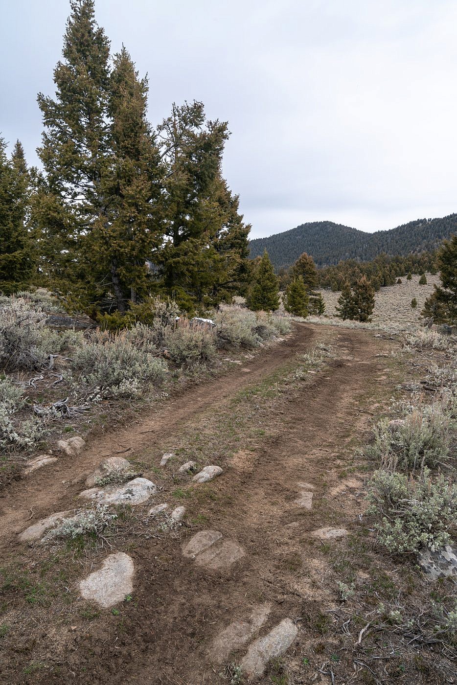
First view of McCartney Mountain.
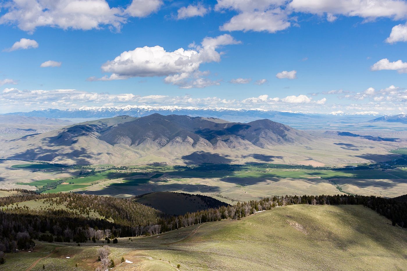
After the short stretch of flat the road gets steeper again as it climbs up the main ridge running north-south along the range. A high-clearance vehicle will get you to the top of the ridge. Here the scenery opens up a bit and you get a nice view of the Pioneer Mountains to the west including the high point Tweedy Mountain and the second highest point Torrey Mountain which I did last summer.
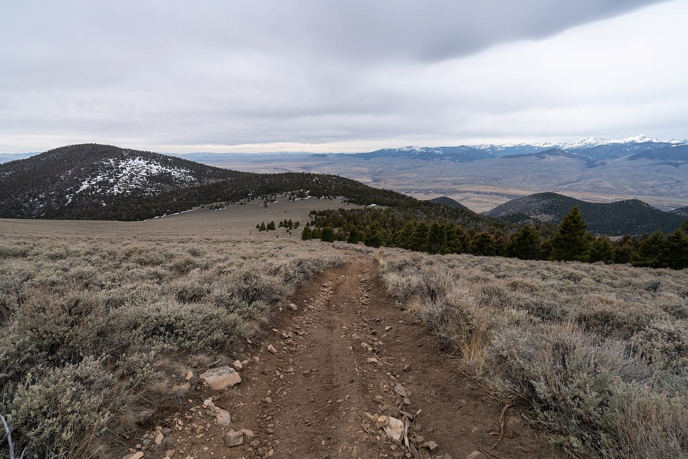
Ascending the ridge. Bell Peak on the left and the Pioneer Mountains on the right.
Once on the top of the ridge I took a short break to plan my next move. It’s only another mile to the summit and my map showed the road continuing a bit further along the ridge towards McCartney so I figured it’d be easiest to stick to the road as far as I could. I tried this but almost immediately started to encounter snow patches so I ditched the road and continued off-trail along the crest of the ridge in order to avoid the deep snow. Unfortunately I still had to wind my way around, and sometimes through some snow patches and thick sagebrush which was exhaustive. This last section was turning out to be much more difficult than I expected so I was really glad I chose not to summit Bell Peak earlier.
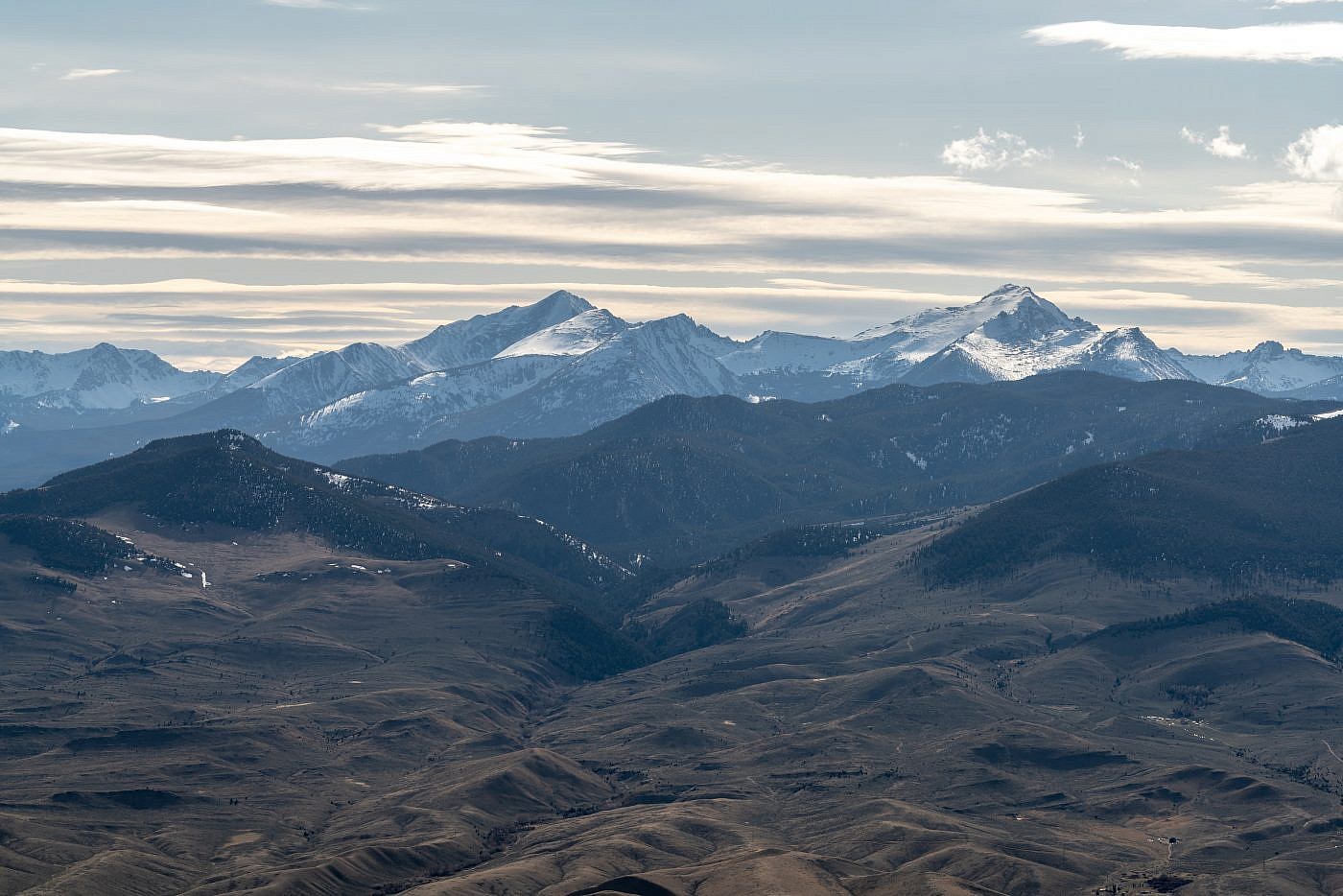
Close-up of Torrey Mountain (left) and Tweedy Mountain (right) of the East Pioneer Mountains.
McCartney Mountain
The final ascent up McCartney was also more challenging than it appeared. It’s not super steep but it’s rocky, almost cliffy in spots, and the terrain in general just isn’t conducive to off-trail hiking. It took a decent amount of effort just to find a safe path through it all but with some perseverance I made it to the top.
The views from the summit were somewhat disappointing since you’re mostly surrounded by trees but I was still stoked to be at the top since it was my first worthy mountain ascent of the season. There’re remnants of a some sort of wooden structure leftover from the olden days on the summit but I honestly have no idea what it was used for. Maybe some kind of lookout?
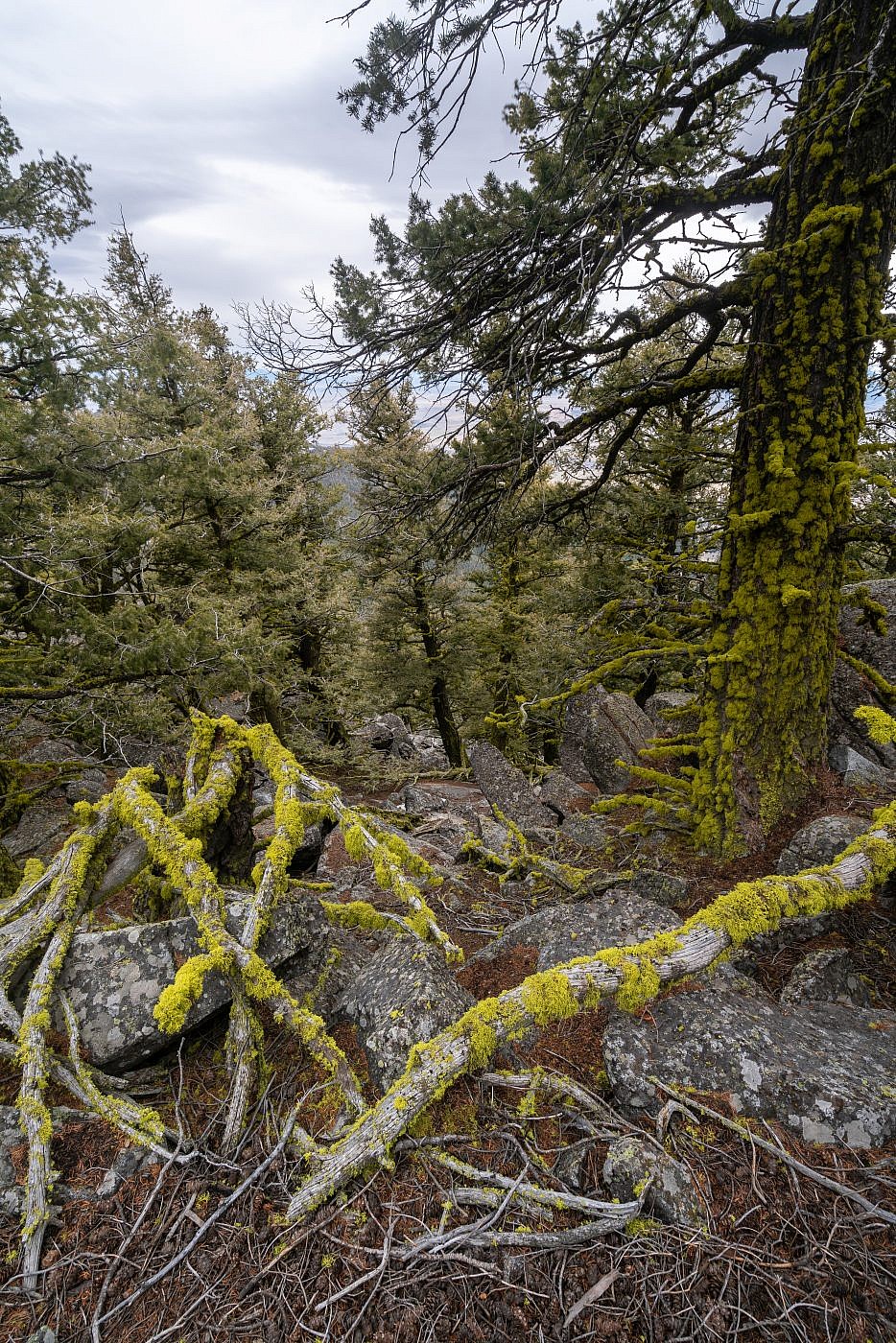
The final ascent includes some rocky sections and just all-around nasty terrain but there were some cool moss-covered trees along the way!
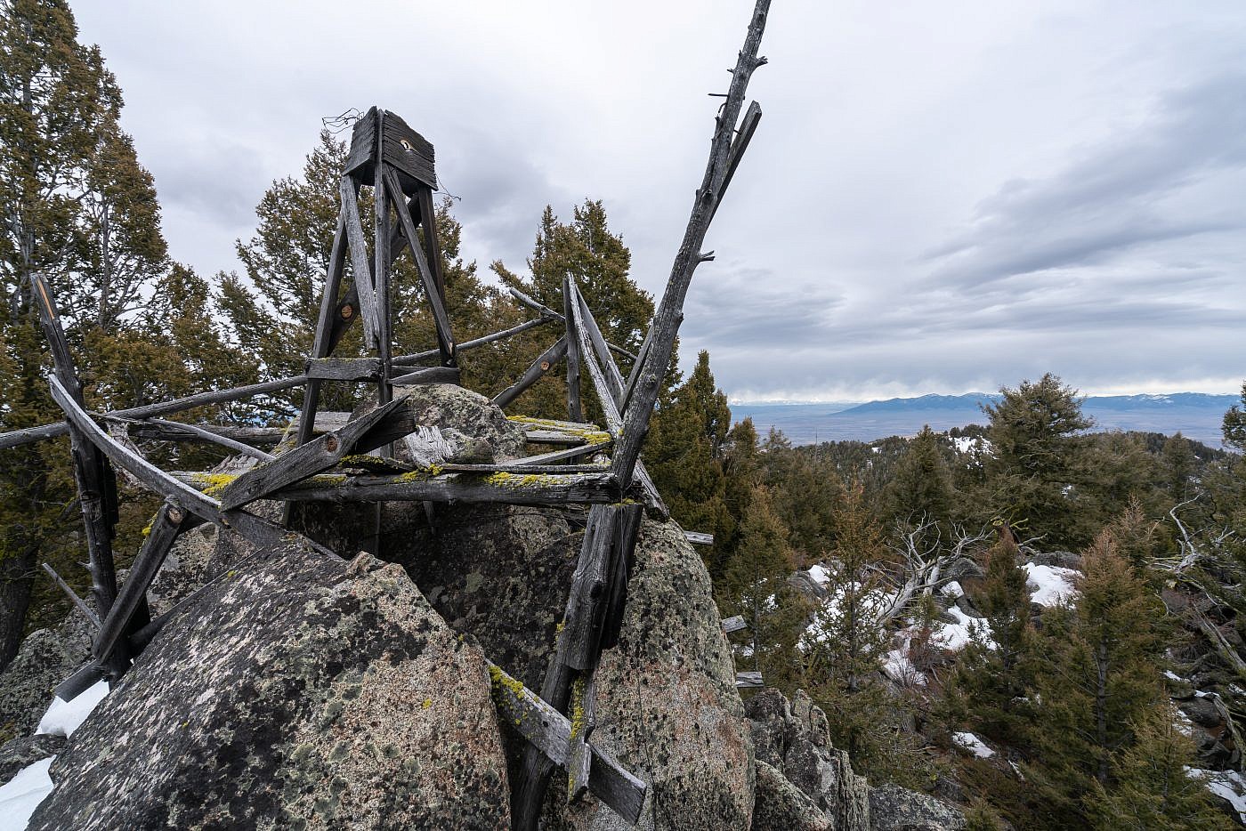
Looking south from the summit. The views are limited but the old wooden structure at the top is kind of cool.
Madison Range. Sphinx Mountain on the right and possibly Lone Peak on the left.
The Return
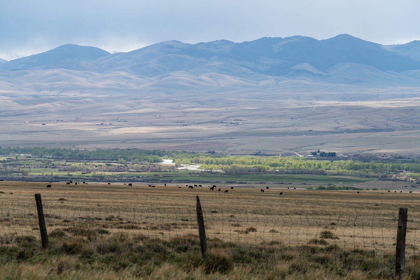
Rather than retrace my footsteps along the crest of the ridge I chose to sidehill along the west side of it hoping that it would be easier with less snow and less ups and downs. This turned out to be the case but as consequence I was forced to hike through some thick sagebrush and was now more nervous than ever about encountering a rattler. Luckily I made it back to the road safely and from there it was smooth sailing back to the car where I decided to establish camp and enjoy a beautiful sunset over the Beaverhead Valley.
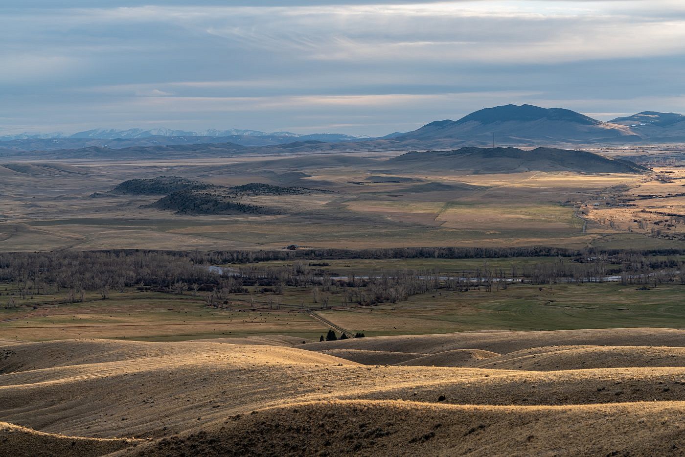
Looking south towards the Beaverhead Valley from near my camping spot.
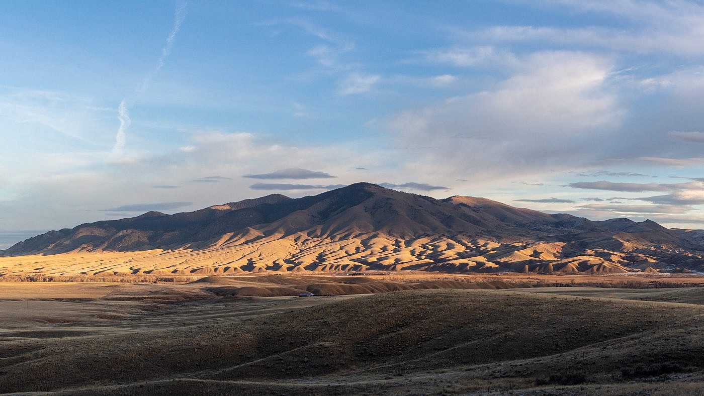
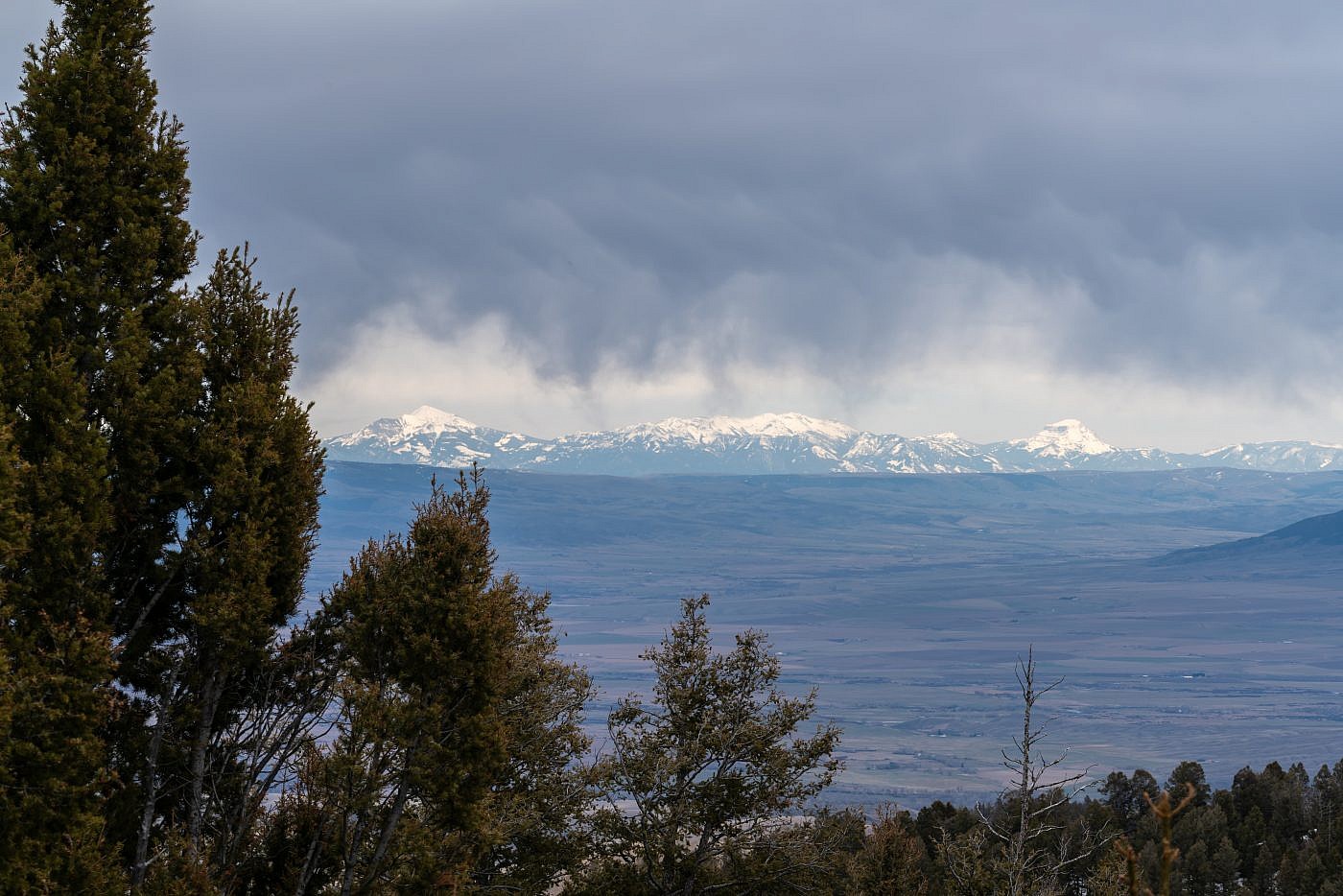
Torrey and Tweedy at sunset.
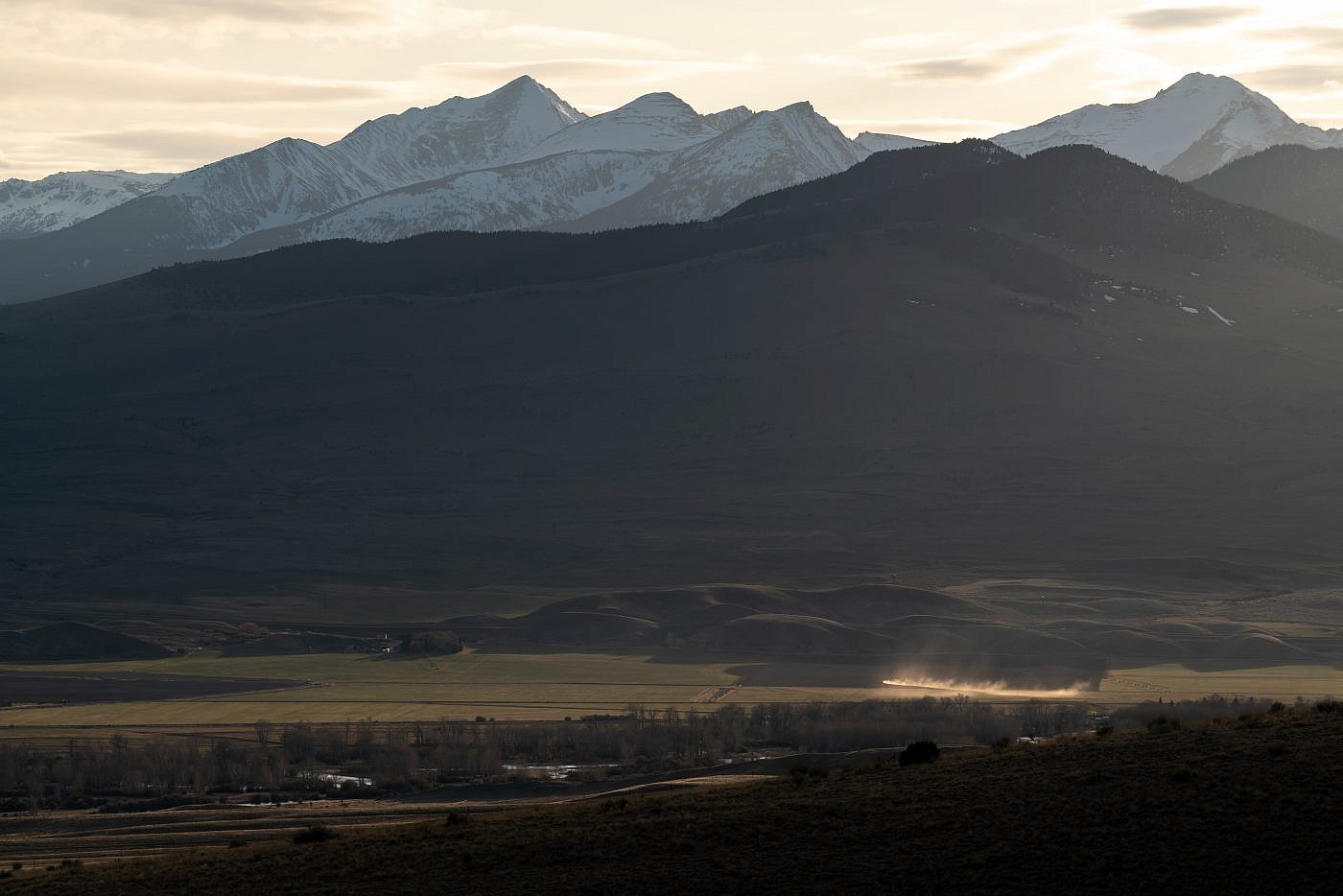
Looking southeast towards the Ruby Range. I summited the highpoint, Ruby Peak (right), last summer.

