Cabinet Mountains
Baldy Mountain
Download KML
Distance
2 miles one way
Type
Day hike
Difficulty
Easy
- Starting Elevation: 5900 ft.
- Ending Elevation: 7464 ft.
- Elevation Gain: 1564 ft.
 View all 12 photos
- Experience Date: Jun 12, 2020
- Hike Time: 2 hrs.
- Drive Time: 5 hrs.
- Road Condition: Well-maintained dirt road. 2 WD accessible. High-clearance not necessary.
- Parking: Small lot at trailhead.
- Fees: None.
- Campsite Availability: Summit is flat enough to camp on. Camping at Baldy Lake just below the summit.
- Private Property: None posted.
- Trail Traffic: None.
- Trail Condition: Extremely well designed and maintained trail up to summit.
- Fire Restrictions: None.
- Stream Crossings: None.
- Water Sources: None.
- Snow: Several snow patches along trail. Some larger snow patches at summit.
- Winter Access: None.
- Weather: Partly Cloudy. Pleasant. 70's.
- Bugs: Flies.
- Wildlife Sighted: None.
- Side Quests: Baldy Lake.

Baldy Mountain (7,464′) is the highpoint of the “Thompson-Baldy Area” a subset of the Cabinet Mountains located in the southeast corner of the range. It’s a simple and straightforward hike with a trail leading straight to the summit. Whoever designed the trail did an amazing job of spreading out the 1,500′ of elevation perfectly over the 2 mile ascent. Getting to the trailhead involves following a series of tedious mountain roads but most vehicles should be able to make it without a problem. Baldy Lake, situated just below the summit, would make a great side quest or even a good early-season backpacking destination.
Baldy Mountain.
Background
In my opinion, one of the greatest Montana experiences a person can have is biking the Going-to-the-Sun Road in Glacier Park before the road opens to cars. It’s a great way to experience the beauty of the park at your own pace and without the swarms of tourists getting in the way of everything. I’m fortunate in that I have some close friends who live just outside the park in Kalispell, MT who also enjoy biking the road and lately it has become a tradition for us to do it together. Sadly the COVID-19 closure prevented any early-spring biking but the park finally reopened in early June leaving several good weekends for some epic Glacier biking. Naturally I got an invitation from my friends and I agreed to join them on the first open weekend.
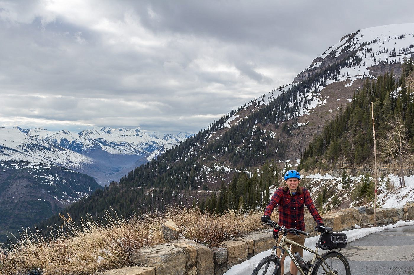
My first time biking the Going-to-the-Sun Road back in 2016. Please excuse the long greasy hair.
Since I’d be driving a solid five hours to get up to Kalispell, MT I decided to head up a day early and try to bag a peak somewhere along the way. Still being early season I knew it’d have to be something lower elevation and so I narrowed it down to two peaks: Cherry Peak, the highpoint of the Coeur d’Alene mountains, or Baldy Mountain, the highpoint of the Thompson-Baldy area in the southeast corner of the Cabinet Mountains. Both of these places were completely foreign to me but in the end I chose Baldy since it’s easier and slightly lower elevation. It’s a very simple hike that starts halfway up the mountain with a short trail that leads straight to the summit.
The Adventure Begins…
I left Bozeman on a Thursday afternoon with the plan to camp close to the Baldy trailhead so I could knock it out as early as possible the next day to avoid any afternoon storms. After a brief pit stop in Missoula to get a shot of Ch-paa-qn Peak which I’d done a week earlier I headed north up to Ravalli, MT and then west on Highway 200 which parallels the Flathead River. This was a road that I’d been curious about every time I’d driven passed it and was excited to finally get a chance to see what the area had to offer. My goal was to shoot for the Rainbow Lake Campground just north of Plains, MT, the closest town to the trailhead for Baldy. Unfortunately the campground, being on the Flathead Indian Reservation, was closed entirely to non-tribal members so I was forced to turn around and find something else. Luckily my second choice, Cascade Campground, was open and totally deserted so I parked my car, enjoyed some food around the campfire, and settled in for the night.
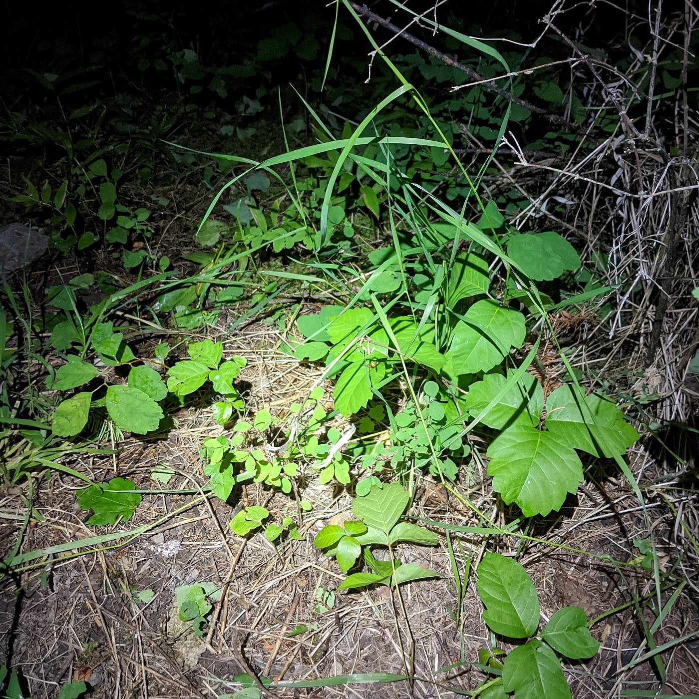
Of all the exploring I’ve done in Montana I’ve only encountered poison ivy in two places. The first place is Bear Trap Canyon just outside of Bozeman and the second was by my campsite at Cascade Creek Campground. This stuff looks especially oily and healthy.
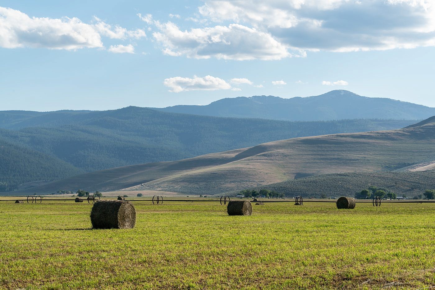
I didn’t waste any time getting on the road the next morning and after a short drive made it to Plains, MT. Plains is a small town along the Flathead River on the southern end of a large valley surrounded by a fortress of mountains. To the north I got my first view of Baldy Mountain and I must admit it appeared larger than I expected.
Approaching Baldy north of Plains, MT.
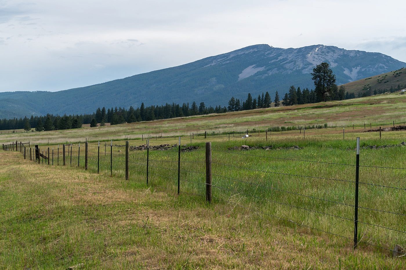
It’s about an hour drive to the trailhead from Plains, first along a paved road and then a series of dirt roads which become more primitive the higher up you get but I had no problem accessing it with my Outback. From Plains head north of Clayton Street. This road will turn into Upper Lynch Creek Road which is paved. After a total of 9 miles take a left onto the well marked Corona Road (also known as Lone Man Divide Road). Here the road turns to dirt but is still in good shape. After 4 miles take a right after a sharp turn onto the slightly more primitive FS Road #886. After about 2.4 miles there’s another split in the road with a “hiker” sign pointing right. Head right and follow the road for another 1.5 miles to the trailhead. There’s actually a second trailhead just after you take the final right. Starting from there will roughly add another 0.6 miles and 550′ of elevation to the hike.
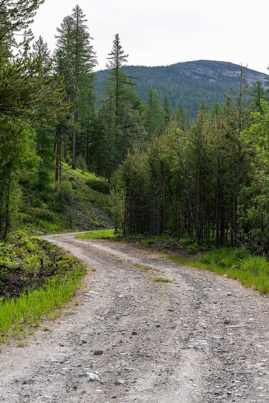
Working my way to the trailhead.
On the Trail
The Baldy Mountain trail is very well-maintained and possibly the most well-designed trail I’ve been on because of how well it spreads out the elevation gain. It’s starts with one large switchback and than a series of small, snake-like switchbacks all the way to the summit. There’s a nice overlook just before the small switchbacks begin with a nice view of Thompson Peak to the north. Thompson Peak is just 4′ shorter than Baldy and can be accessed from the west via FS Roads #519 and #5582.
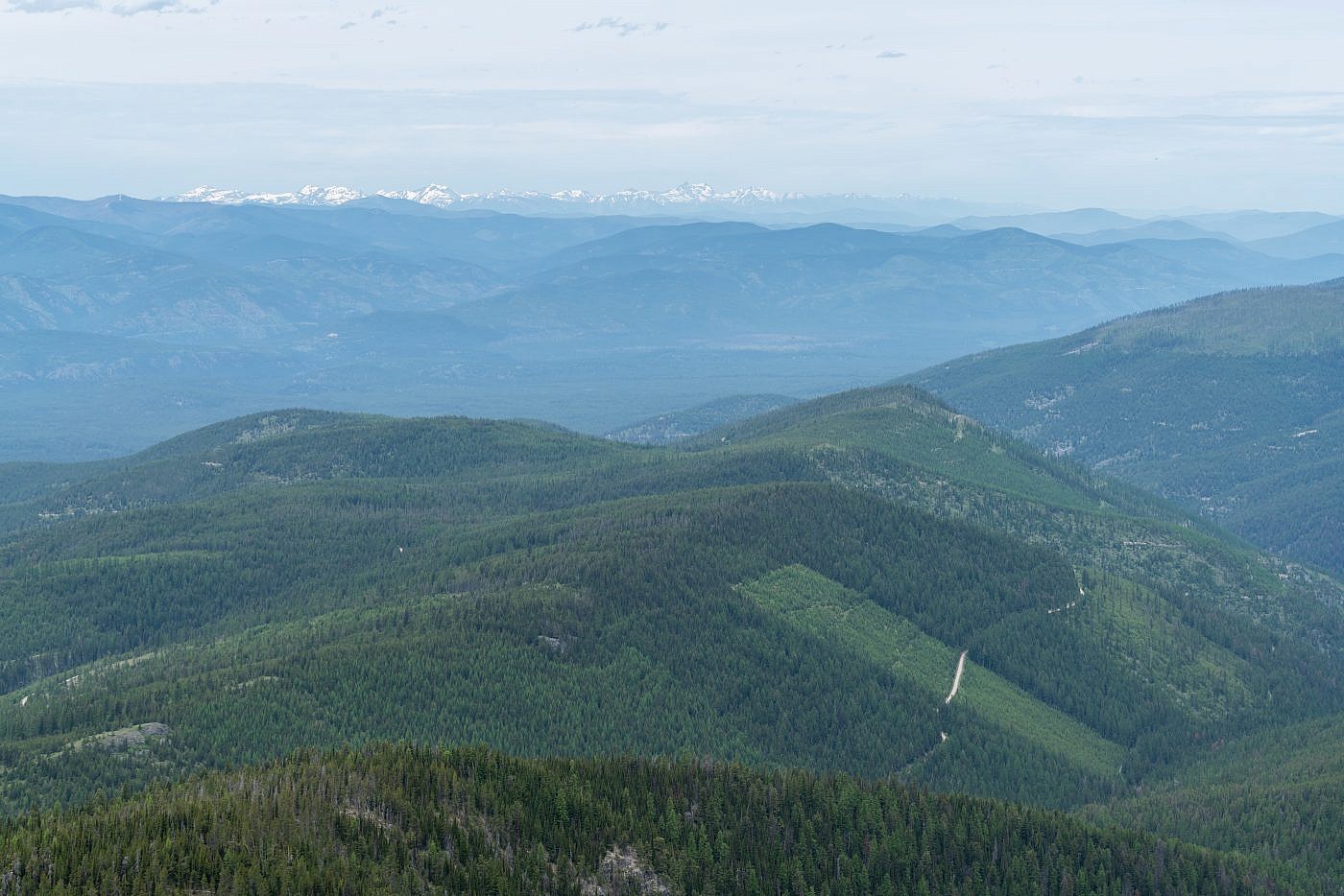
Looking northwest towards the rest of the Cabinet Mountains. The highpoint is Snowshoe Peak which I have yet to do.
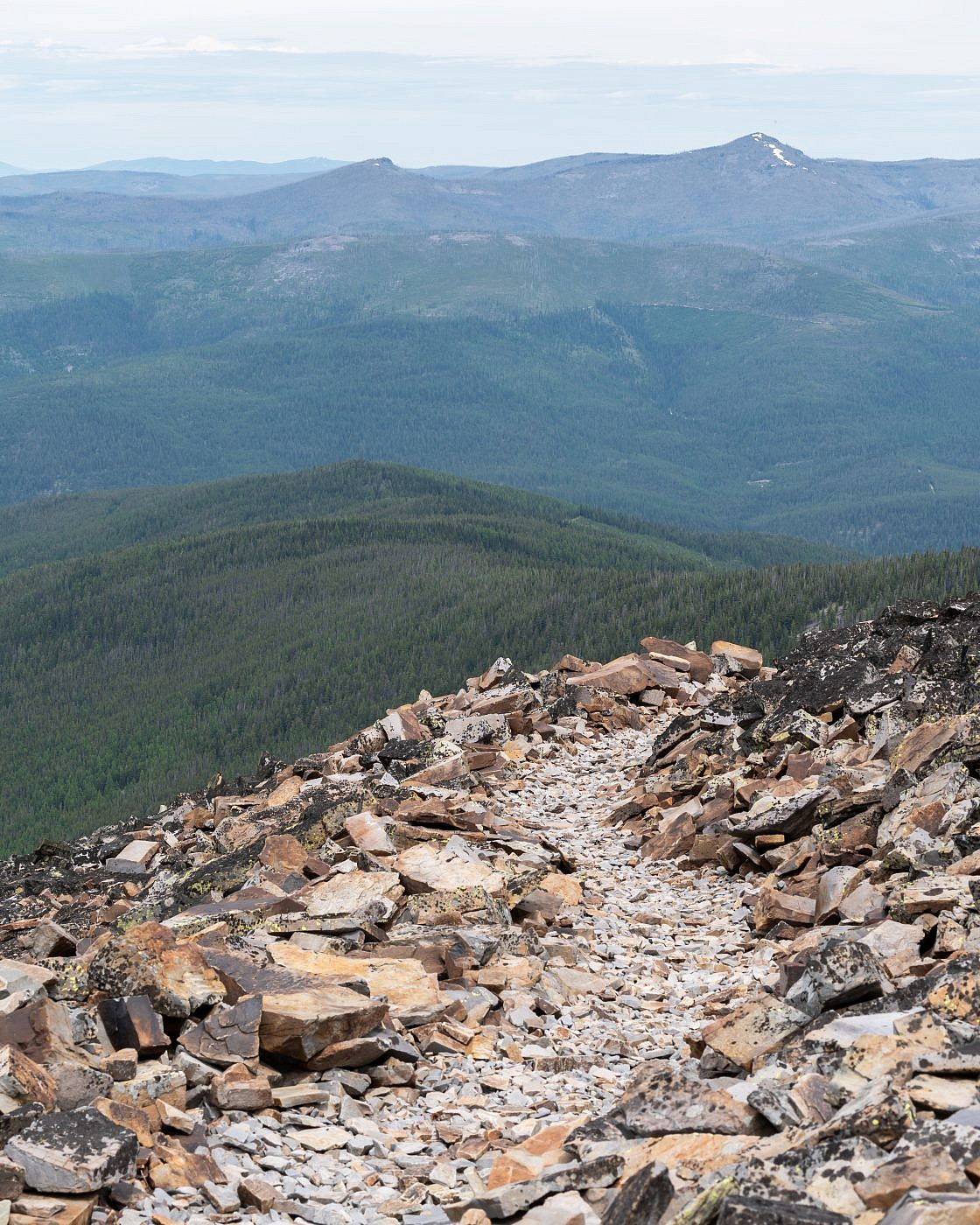
View of Thompson Peak to the north.
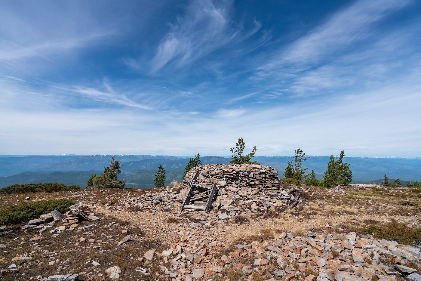
Old lookout foundation near the summit. Looking west.
Baldy Mountain
Despite being a small mountain the views from the top of Baldy are excellent especially since I was surrounded by terrain almost completely foreign to me. The north end is mostly forested so I encourage you to hike to the south end of the flat summit where the views really open up. I was surprised to see a small lake basin just below the summit housing Baldy Lake. The trail apparently continues down to this lake which looks like a great little backpacking spot. It also looks like you could access it from the east but it would require driving some windy mountain roads and you’d have to pass through the Flathead Reservation which requires a tribal recreation permit.
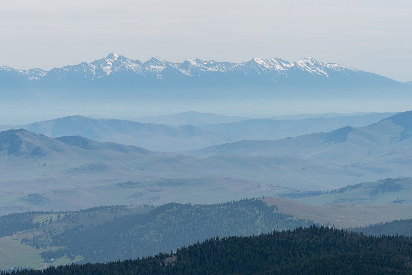
Looking east towards the Mission Range.
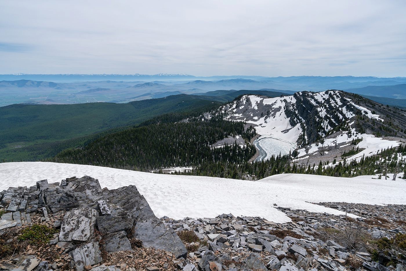
Looking south from the summit. Baldy Lake in the foreground. The trail continues down to the lake which looks like a nice early-season backpacking destination.
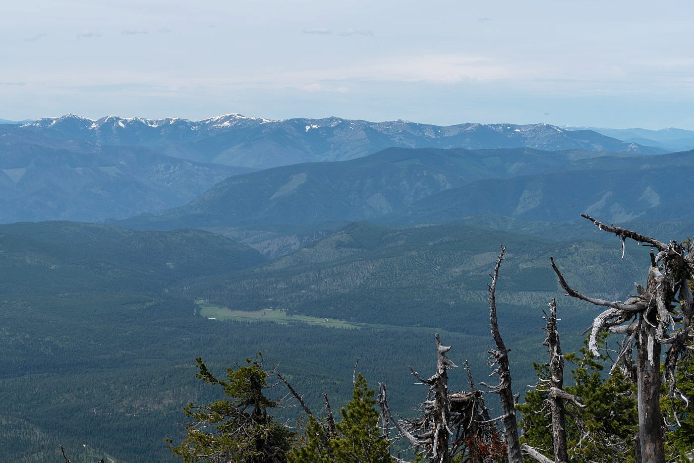
Looking west from the summit towards the Cour d’Alene Mountains. Cherry Peak is the highpoint (center left) which I have yet to do.
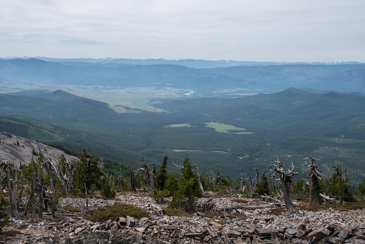
Looking south towards Plains, MT.
Baldy as seen from the east near the small town of Hot Springs, MT.
