Beartooth Mountains
Froze to Death Plateau
Download KML
Distance
7 miles one way
Type
Day hike
Difficulty
Hard
- Starting Elevation: 6150 ft.
- Ending Elevation: 10150 ft.
- Elevation Gain: 4000 ft.
 View all 20 photos
- Experience Date: Jul 3, 2020
- Hike Time: 6-8 hrs.
- Drive Time: 2.5 hrs.
- Road Condition: Well-maintained dirt road. 2 WD accessible. High-clearance not necessary.
- Parking: Plenty of parking.
- Fees: None.
- Campsite Availability: Lots of dispersed camping along road. Jimmy Joe Campground. East Rosebud Campground. Both campgrounds were completely full when I was there.
- Private Property: None.
- Trail Traffic: Light.
- Trail Condition: Well-maintained trail all the way to the top.
- Fire Restrictions: None.
- Stream Crossings: Few minor stream crossings.
- Water Sources: Phantom Creek but not easily accessible. Slough Lake.
- Snow: One very large snow field near top-easily avoidable.
- Winter Access: Possibly.
- Weather: Sunny and hot. High 80's. Thunderstorm with light rain in afternoon.
- Bugs: Few mosquitos.
- Wildlife Sighted: None.
- Side Quests: Prairieview Mountain. Saddleback Mountain. Froze to Death Mountain. Exploring further up the plateau.

The Froze to Death Plateau is a high plateau in the northeast corner of the Beartooth Mountains. While the plateau serves as a starting point for many difficult climbs including the highest point in Montana, Granite Peak, getting to its base is a fun and scenic hike on its own. The trail starts at the Phantom Creek Trailhead and climbs steadily all the way to the top. From the top the options area almost endless. Simpler side quest include Prairieview Mountain and Saddleback Mountain to the east, Froze to Death Mountain to the west, or just general exploration of the plateau; the more skilled climber could even make an attempt at Granite Peak. There are some campsites near Slough Lake along the way for beginner or early-season backpacking. An alternate, and possibly simpler, route to the plateau starts from the next drainage up, West Rosebud, and follows a trail south from the shores of Mystic Lake up to the plateau. Either trailhead should be accessible by most vehicles.
View of Mystic Lake and Island Lake from the Froze to Death Plateau.
Background
When it comes to naming geographical locations the Froze to Death Plateau has got to be one of the best. The moment I saw it on my Beartooth Publishing map I knew I had to get there. But it’s not just the name that draws people to this elusive spot-the Froze to Death Plateau is the main access point to Granite Peak, the highest point in all of Montana. The most popular routes to the summit involve ascending the plateau and traversing many miles of tundra to its southwest corner where Granite Peak juts menacingly into the heavens. But that’s just the easy part. The final ascent from the plateau is no picnic and should be treated with extreme caution; just last year an experienced climber died while trying to free solo it. Some claim ropes are essential, some say it’s just a gnarly class 3 scramble and as long as you know the precise route you should be good. All I can say is that I won’t attempt this one without an experienced partner who I trust 100%.
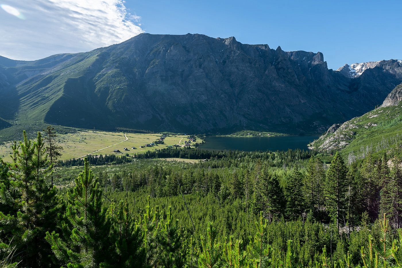
My first taste of the Froze to Death Plateau was way back in 2015 during my first summer of true Montana hiking. For our first trip to the Beartooths my hiking partner, Arlo, and I backpacked to Island Lake which starts near West Rosebud Lake and passes Mystic Lake along the way. The Froze to Death towers overhead just south of Mystic Lake and a long series of switchbacks-which I have deemed the “switchbacks from hell”-will take you to the base of the plateau. I desperately wanted to get there but there was just no way to incorporate such a nasty ascent into our trip. From that moment onward I’d been wanting to get up there and it wasn’t until 2020 that I would achieve my goal.
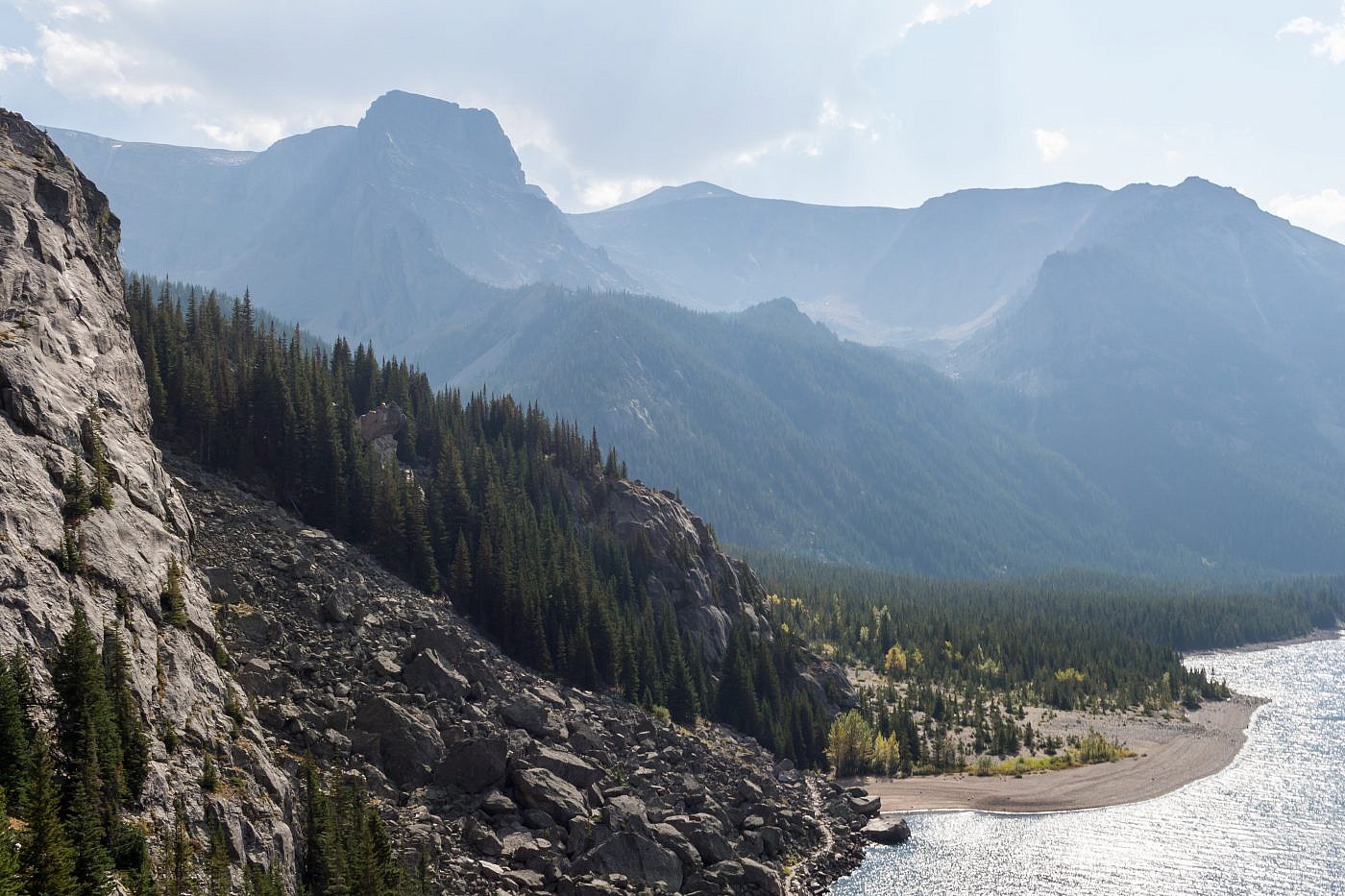
The Froze to Death Plateau as seen from the Mystic Lake lookout. Photo taken in 2015.
For several months in the spring of 2020 my roommate, Mike, had been pestering me about going on a camping trip with him to East Rosebud Lake, the next drainage south from Mystic Lake. East Rosebud is a beautiful area with several trailheads and a campground. What it’s most well known for though is the eastern terminus of the infamous “Beaten Path” trail, an incredibly scenic 26 mile thru-hike that leads deep into the Beartooths and ends near Cooke City in Yellowstone National Park. The Froze to Death can also be accessed from this point via the Phantom Creek Trail so when I finally agreed to go camping with him over 4th of July weekend we decided that getting there would be our primary goal.
The Adventure Begins…
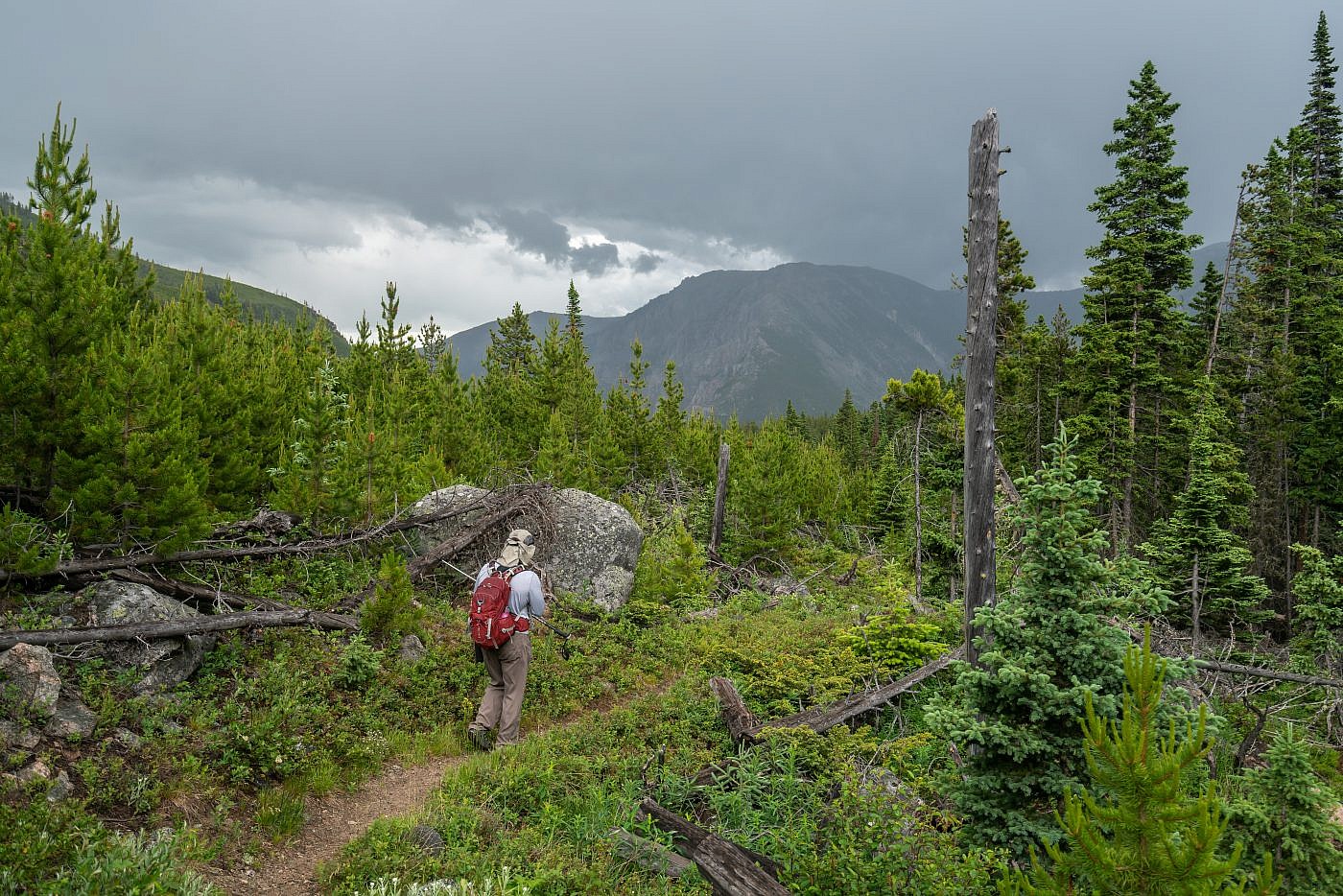
Mike and I departed Bozeman on a Thursday with the plan to spend three nights at the East Rosebud Campground and do as much exploring as possible. As we rolled in towards East Rosebud we both became increasingly nervous about finding a campsite. It was 4th of July weekend after all and East Rosebud is probably one of the most popular areas in the entire state. Sure enough the campground was entirely packed so we headed back to check out the Jimmy Joe Campground just a few miles back up the road. Jimmy Joe was also overflowing with campers so we headed back towards East Rosebud Lake hoping to find a spot to camp along the road. Luckily we found a nice flat area on a side road which ended up being a much more private and superior alternative to the campground. After setting up camp and frying up some delicious steaks over the fire we decided to turn in for the night. Our plan was to get up around 6:00 AM the next day so we could get an early start on the Froze to Death in order to avoid any afternoon storms.
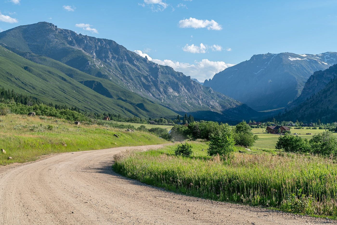
Approaching East Rosebud.
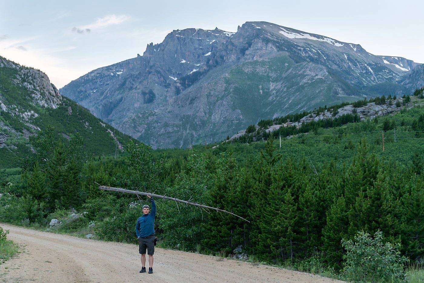
Mike demonstrating his strength.
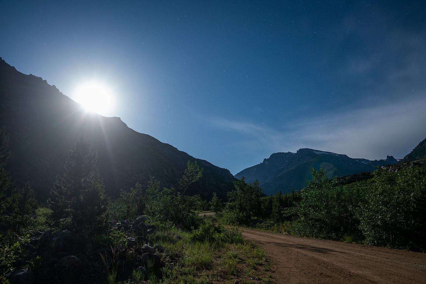
It was almost a full moon our first night so I made an attempt to photograph the moonlight gleaming off the foliage.
On the Trail
I’d only gotten about 5 hrs. of sleep because of my late-night moonlight photoshoot so waking up at 6:00 AM was a bit difficult but I made it happen and knew once we hit the trail the excitement would immediately overwhelm my drowsiness. By the time we had our breakfast, geared up, and hit the trail it was almost 8:00 AM. Not too bad but it was already incredibly hot for that time of day and there wasn’t a single cloud in the sky-it was definitely going to be a scorcher. The goal was to get up to the plateau by around noon so we could get down before the afternoon storms. That gave us about 4 hrs. to hike 7 miles over 4,000′ of elevation-completely doable but there wouldn’t be much time to rest.
Side note: There were only about three cars at the Phantom Creek trailhead. In comparison, when we hiked from the East Rosebud trailhead (start of the Beaten Path) the next day the parking lot was literally overflowing-there were maybe 50 cars there. Phantom Creek is definitely the place to be if you want to avoid the crowds.
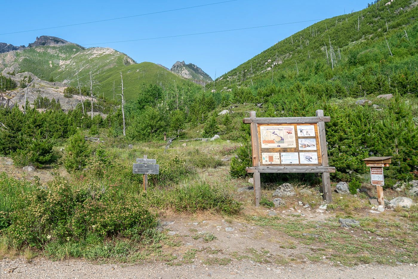
The Phantom Creek trailhead.
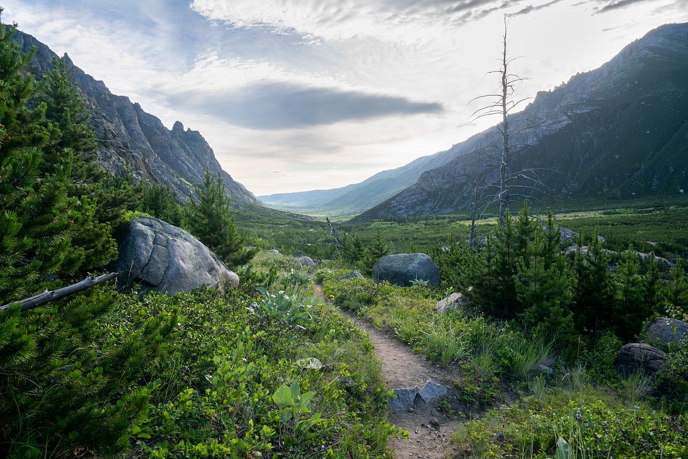
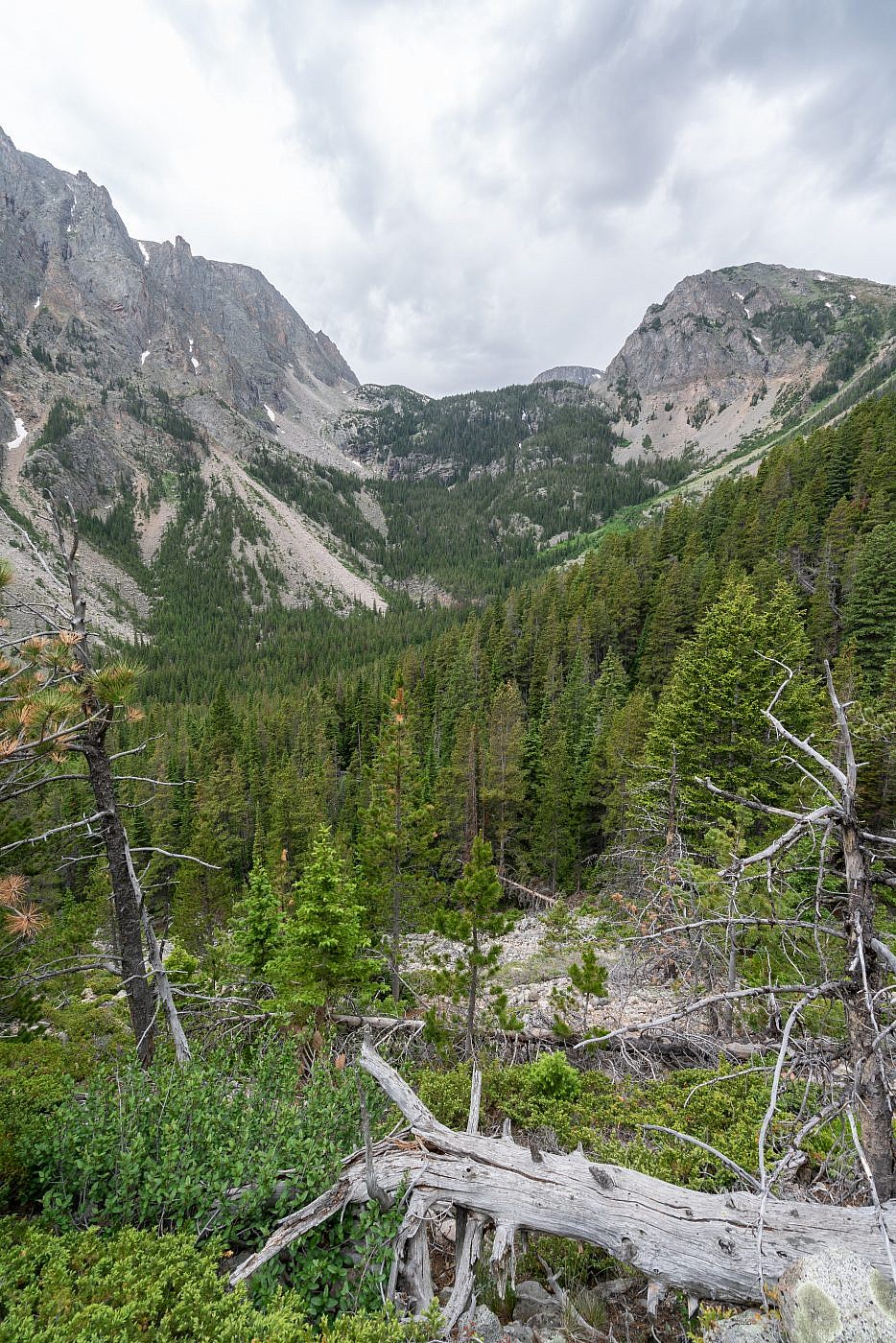
The trail starts out climbing steadily towards the mouth of the canyon through which Phantom Creek flows. Tree cover is almost non-existent but you’re treated to some wonderful views of the whole East Rosebud area down below. Near the mouth of the canyon you enter the trees which provided us with some nice cover from the unrelenting sun.
Looking northeast down the East Rosebud drainage.
East Rosebud Lake.
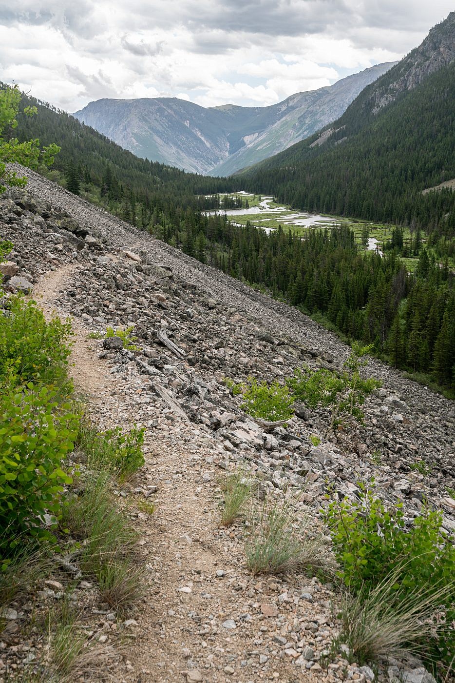
After a couple miles of pleasant hiking we came upon a small lake with several campsites around. At first we couldn’t tell if it was actually a lake or just a wide, swampy spot in the creek but I later found it to be officially and appropriately named Slough Lake. This would be a great little beginner backpacking destination or good spot to do some fishing and just take it easy. We weren’t here to “take it easy” though so after snapping a few pictures we continued forward along the trail which remains flat as you pass by the lake.
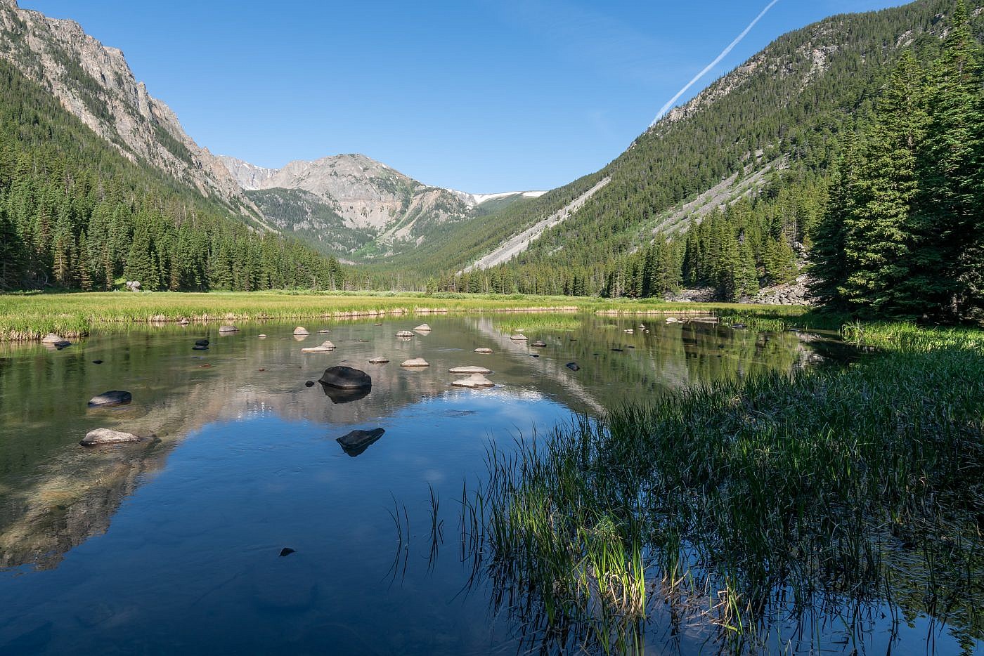
Slough Lake. There are several campsites around the lake for beginner or early-season backpackers.
Just beyond the lake the trail starts to climb steadily again, staying mostly parallel to the canyon. While I wouldn’t say the views are “out of this world” they’re still nice and the steady grade allowed us to maintain a very quick pace. We were on schedule to make it to the top before noon!
Working our way up along a short opening in the trees. Phantom Lake sits atop the step to the left. As you approach you’ll get a nice view of a waterfall cascading down from the lake.
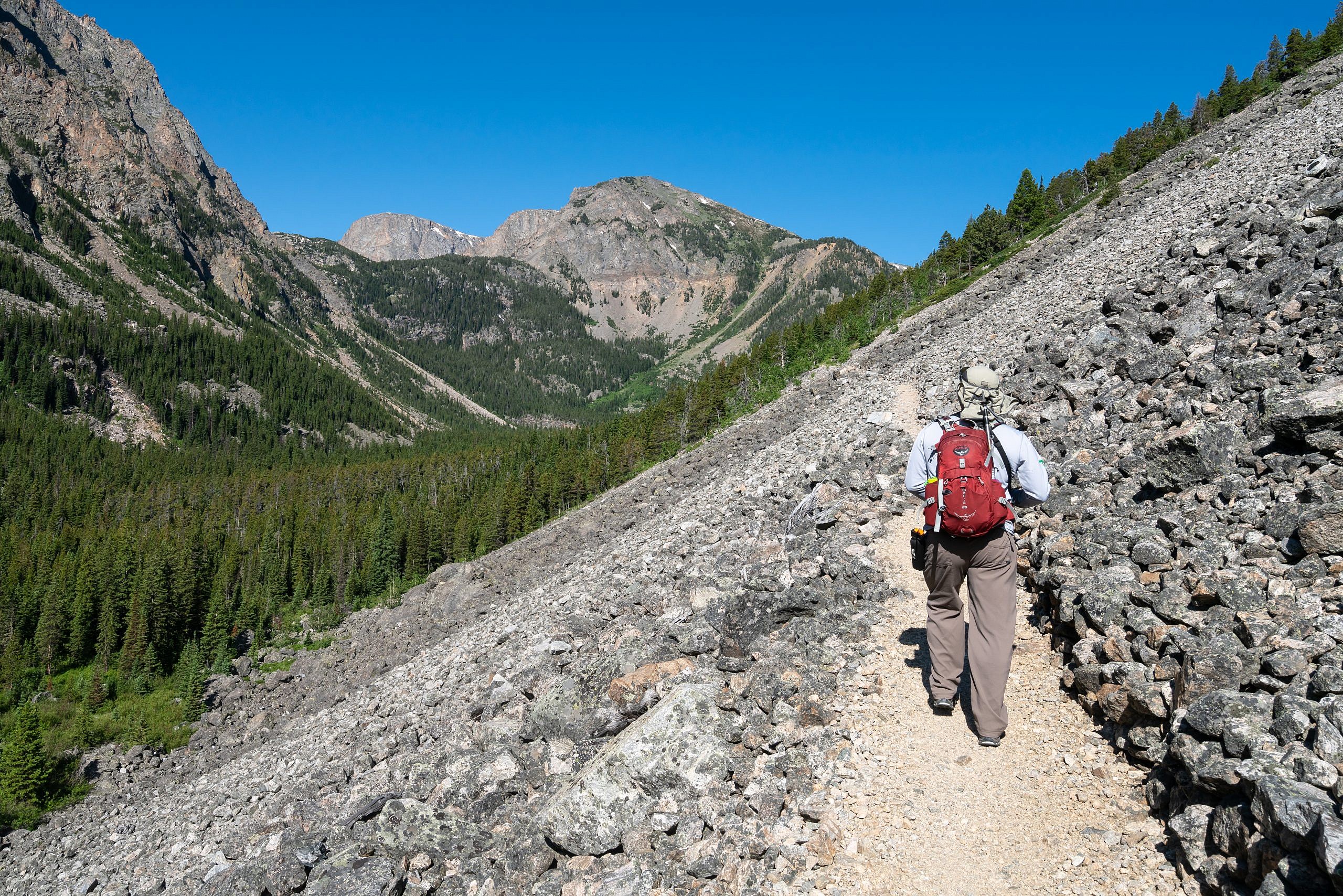
The remainder of the hike is spent mostly in the trees as the trail switchbacks up to the plateau. Steepness increases gradually but it never really slowed us down. Mike is basically an athlete and we were seriously hauling ass on the way up.
First view of the our destination.
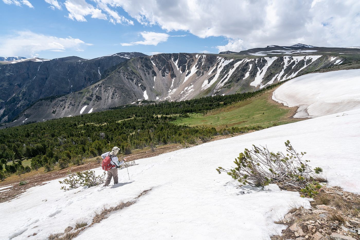
Just before the top the views open up again as you ascend above the treeline and into the almost alien world that is the Beartooth high country. It’s here that we encountered the first and only snow patch along the trail and holy cow was it a monster. I’m sure it was 10’s of feet deep in spots and there was no way in hell we were going to try and traverse it. Luckily we were able to avoid this by leaving the trail and crossing a much smaller snow patch before being reunited with the trail where it switchbacked above us. After that it was a nice stroll to the top.
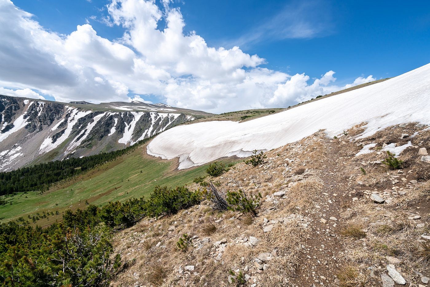
The monster snow field and only snow that gave us trouble along the hike. Froze to Death Plateau in the background.
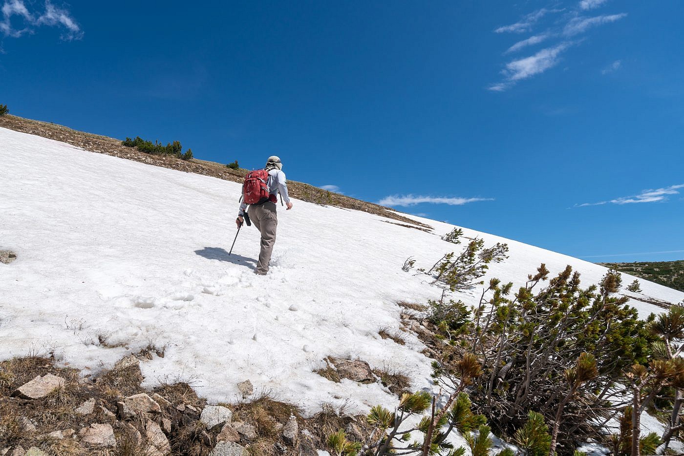
Mike traversing the much smaller and safer snow patch above us.
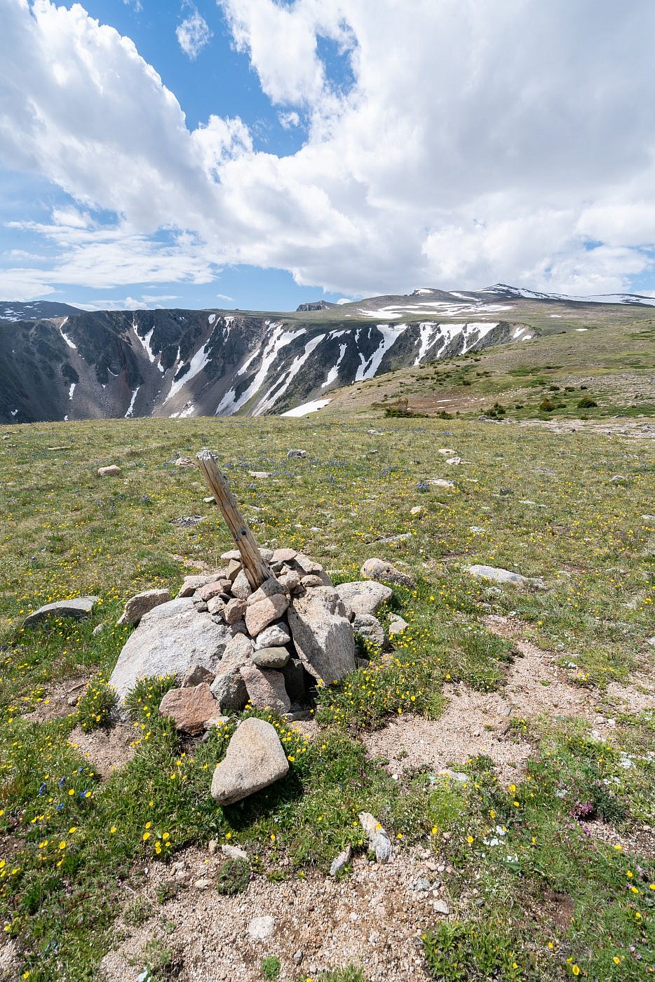
The Froze to Death Plateau
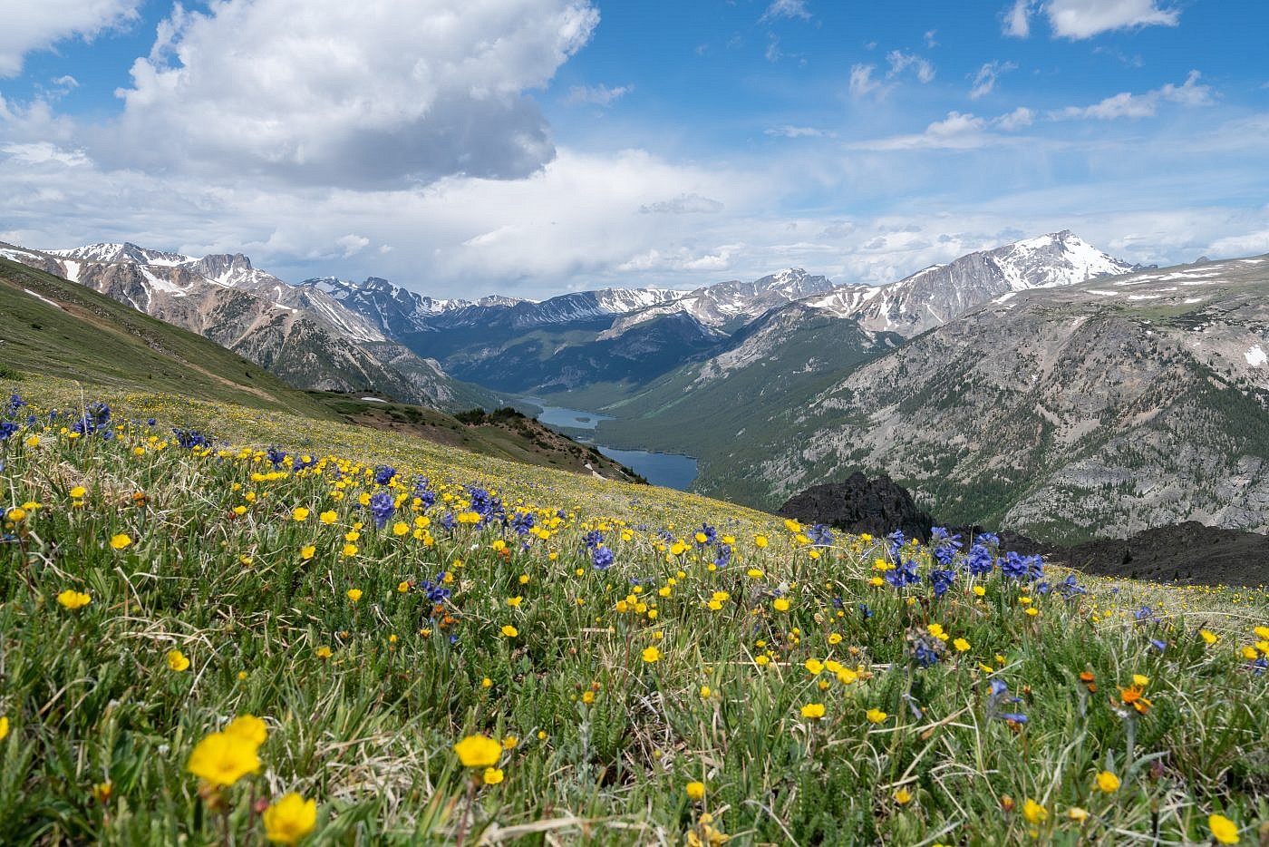
I was ecstatic to finally complete the goal I’d set five years earlier and can now verify the awesomeness of the plateau. Unfortunately, we had little time to do any real exploration up there. Despite making it to the top by 11:30 AM we could already see a small squall drifting over the mountains to the southeast-a strong indication that more storms were on the way. We were safe for now but decided it’d be unwise to head further up the plateau so instead we just wandered a little ways down the other side of the plateau to have a look at Mystic and Island Lakes. Mystic was partially hidden but we got a clear view of Island Lake-an incredible backdrop to the explosion of wildflowers that were around us. I imagined myself from five years earlier looking up at the plateau from our campsite and wishing for nothing more than to be up there. After taking a little time to take some photographs we high-tailed it off the top and back down to where the giant snow patch was to have a quick lunch before the return.
View of Mystic Lake and Island Lake from the plateau.
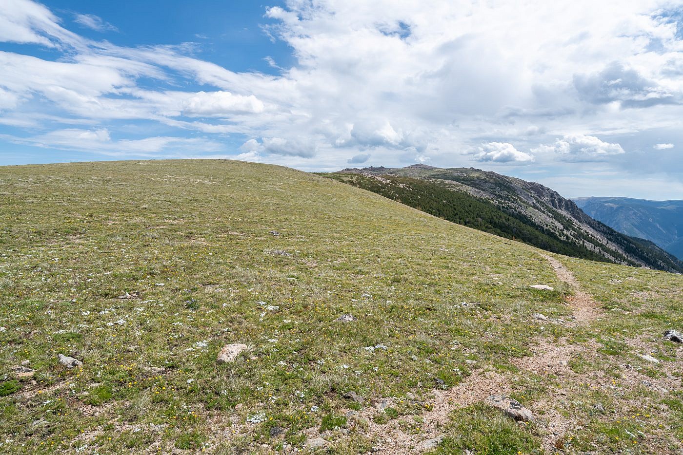
Looking southwest along the plateau. I would’ve loved to have gotten further up this direction but we chose not to spend too much time up there for fear of getting trapped in a storm. This is the direction you’d go to get to Granite Peak.
Looking east towards Prairieview Mountain and Saddleback Mountain (not sure which is which). I believe either could be done as a simple side quest.
The Return
The return went about as predicted. About an hour in the sky darkened and we could hear thunder off in the distance. The storm didn’t amount to too much in the end, mostly just some light sprinkling and wind with thunder in the background but I was certainly grateful to be off the plateau as it rolled through. Shortly after the clouds vanished, the sun reappeared, and it was hot again as if the storm never happened.
Luckily we made it a good way down the plateau before the sky darkened and storms rolled in.
Looking down the Phantom Creek drainage. Slough Lake in the background.
Getting close to the trailhead. The storm had passed by this point.
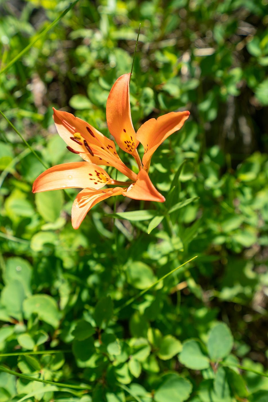
A gorgeous wood lily.
