Nevada Mountains
Black Mountain
Download KML
Distance
3.3 miles one way
Type
Day hike
Difficulty
Easy
- Starting Elevation: 7000 ft.
- Ending Elevation: 8330 ft.
- Elevation Gain: 1330 ft.
 View all 14 photos
- Experience Date: Jun 20, 2020
- Hike Time: 2-3 hrs.
- Drive Time: 2 hrs. 45 min.
- Road Condition: Well-maintained dirt road. 2 WD accessible. High-clearance not necessary.
- Parking: No lot. Park along road near trailhead.
- Fees: None.
- Campsite Availability: Plenty of camping at the trailhead. Possible camping on the flat summit.
- Private Property: None posted.
- Trail Traffic: None.
- Trail Condition: ATV road all the way to the top. Follows Continental Divide Trail (CDT).
- Fire Restrictions: None.
- Stream Crossings: None.
- Water Sources: None.
- Snow: Some small patches near the top.
- Winter Access: None.
- Weather: Mostly cloudy. Pleasant. 70's.
- Bugs: None.
- Wildlife Sighted: None.
- Side Quests: Nevada Mountain.

Black Mountain (8,330′) is the highpoint of the Nevada Mountains, an unofficial mountain range just west of Helena, MT. It’s a simple hike that follows the Continental Divide Trail (an old ATV track in this case) all the way to the summit. The summit is almost completely forested so views are lacking but overall it’s a really pleasant hike and there are some views to be had along the way. Getting to the trailhead takes some time but the road is appropriate for most vehicles. Nevada Mountain, just north of Black, could be done as a long side quest by simply continuing along the CDT for several more miles. Black Mountain could also be accessed from the east by a much longer route starting near Deadman Creek.
Black Mountain.
Background
There’s not a lot of information out there about the Nevada Mountains. In fact, the name of the range isn’t even officially recognized by the U.S. Board of Geographic Names. This is likely because it sits at the confluence of three other official ranges, the Lewis and Clark Range to the north, the Boulder Mountains to the south, and the Garnet Range to the southwest and therefore lies within a sort of “unknown zone”. I’ve seen it labeled on enough maps though and the highpoint, Black Mountain (8,330′), is even on this “unofficial” list of “Montana’s Tallest Peaks by Mountain Range” which is the list I reference for my goal of summiting the mountain range highpoints of Montana.
The Nevada’s are nothing spectacular. They’re mainly just rolling, forested hills and none of the peaks within the range poke above the treeline. The Continental Divide Trail (CDT) does run through the range which is probably the main draw for hikers but for me it was getting to the top of Black Mountain. The main route to the top is simple and mainly follows the CDT along an old ATV track starting from deep within the range. There’s a second route recommended by Cedron Jones in “Peakbagging Montana” which starts to the east of Black Mountain near the end of Deadman Creek Road (road 774A1). This route covers much more distance and elevation than the CDT route but if you’re looking for a longer and more adventurous dayhike this is the route to take.
The Adventure Begins…
I departed Bozeman on a Friday evening with the plan to spend the night at the Cromwell Dixon Campground near the top of Macdonald Pass just west of Helena, MT. This is a lovely campground, although busy in the summer, perched on the west side of the pass with incredible views of the valley below. I highly recommend taking a pit stop at the top of MacDonald Pass if you’re ever in the area. A short dirt road leads from the highway to the top of the pass with incredible vistas of the Helena area.
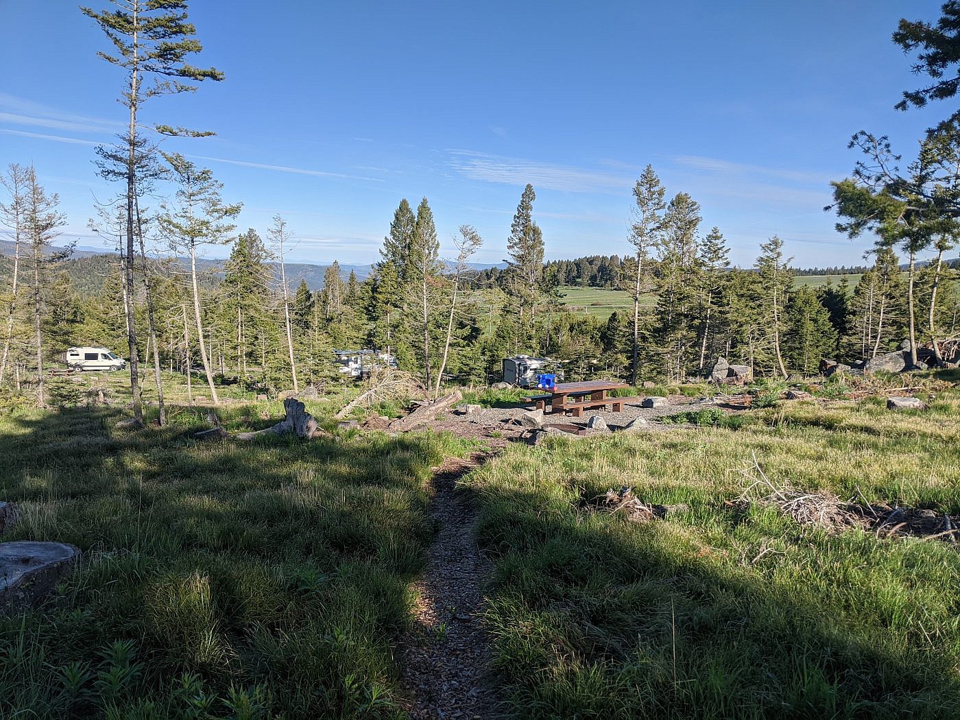
My campsite at the Cromwell Dixon Campground.
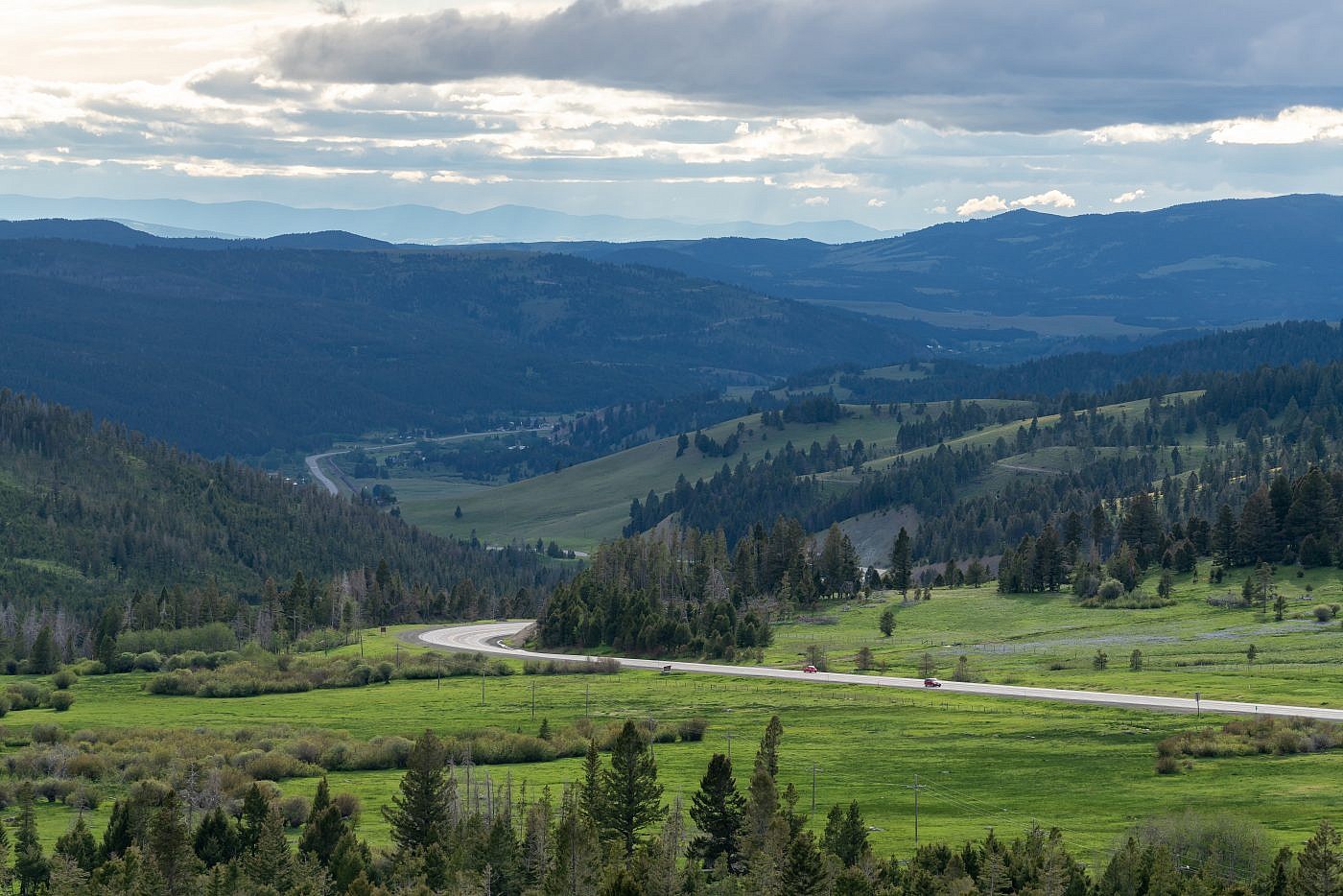
Looking west from the top of MacDonald Pass.
Looking east from the top of MacDonald Pass.
I woke up the next morning excited as usual and ready to slay what would be #16 of the 64 mountain range highpoints on my list. Getting to the trailhead does require about an hour of driving from the highway but the road is in decent shape and I had no trouble getting there with my Outback. From Highway 141 exit at the Ophir Creek National Forest Access onto Three Mile Road about 2.6 miles north of Avon, MT. The road starts out paved but quickly turns to dirt. Follow the road for 3.4 miles and continue right at the dogleg. Continue along this road to the CDT trailhead for a total of 11.4 miles always following signs for Marysville. The trailhead is located in a large clearing with a perfect view of Black Mountain to the northwest. A sign near the trailhead claims the trail to be 4 miles to the summit but all references I’ve checked, including my own gps track, say it’s closer to 3.3 miles.
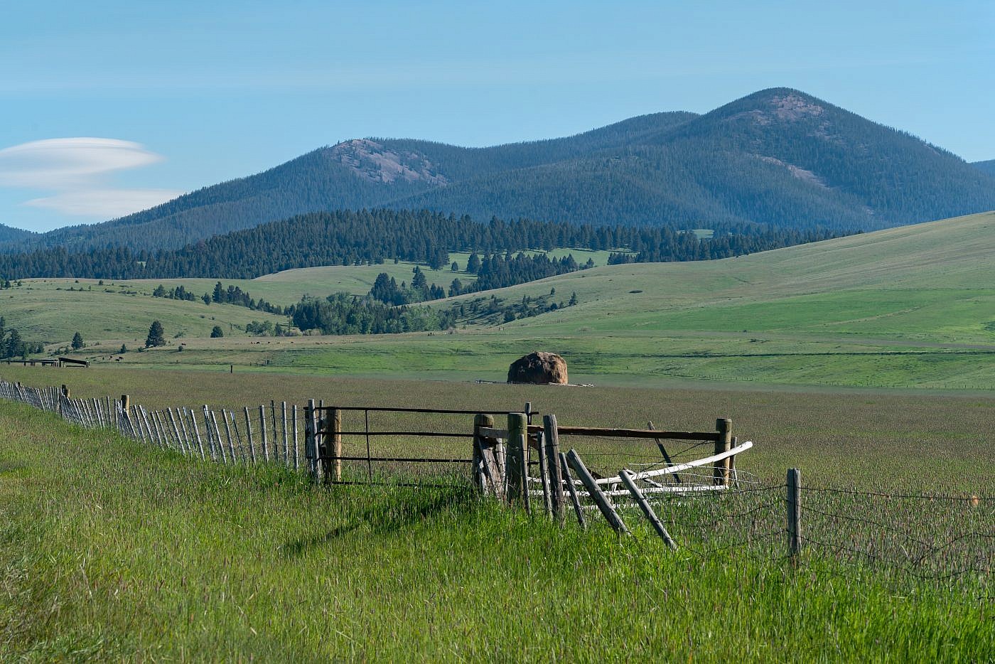
Approaching the mountains from the west. Notice the rounded haystack sitting in the field. The hay was piled up with a contraption known as a beaverslide. The beaverslide consists of a wooden structure with a ramp and a cage. Hay is pulled up the ramp which then falls off the edge into the cage where it can be stacked up to 30 ft. high. This device was invented around 1910 by David J. Stephens and Herbert S. Armitage in the Big Hole Valley. Although technology has rendered the beaverslide obsolete it is still used in the area to this day.
The Black Mountain trailhead.
On the Trail
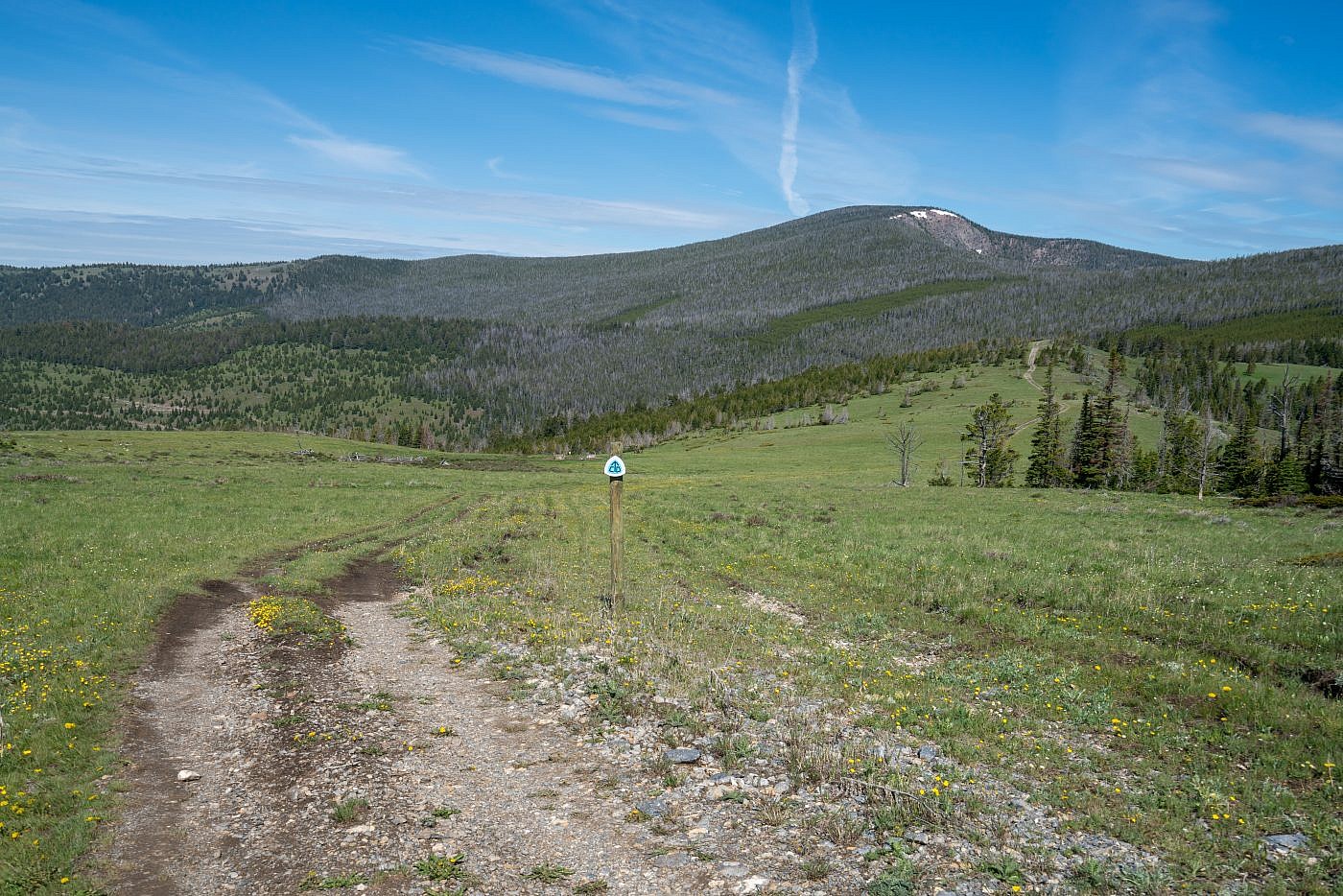
Surprisingly, the best views on this hike are along the first section of road which takes you through a wide open clearing with 360 degree views of the surrounding area. After less than a mile these views quickly vanish as you enter the forest which is where you remain for the rest of the hike. It’s a very pleasant stroll along a forested ridge which climbs very gradually towards the summit.
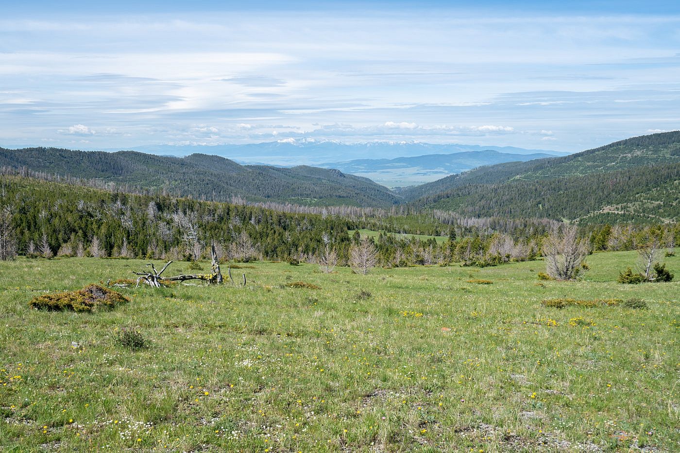
Looking west down the Ophir Creek drainage which you take to get to the trailhead. Flint Creek Range in the distance.
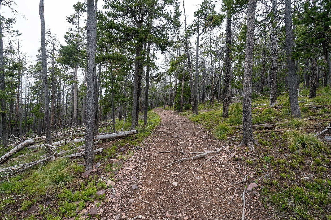
The majority of the hike is spent along this forested ridge.
As you near the end of the ridge you’ll find yourself at the top of a small drainage basin facing east. I recommend leaving the trail for a moment to check out the views which overlook a large portion of the Nevada Mountains. Around this point you’ll want to leave the CDT road and follow another road left which leads straight up to the summit. I did encounter a few small snow patches right near the top but they didn’t cause any trouble.
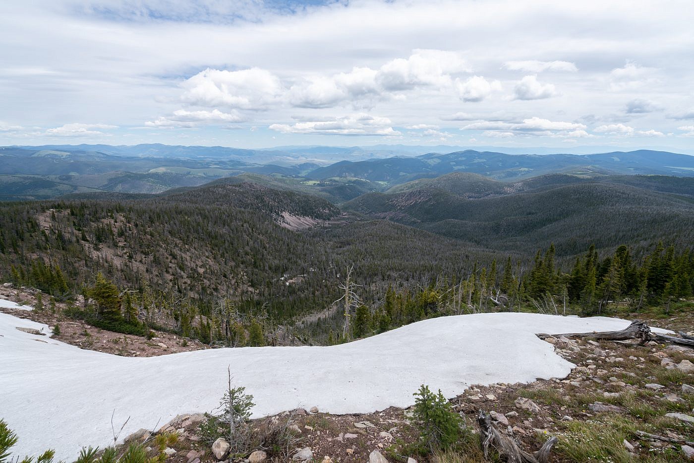
Looking east over the Nevada Mountains from the top of the drainage basin.
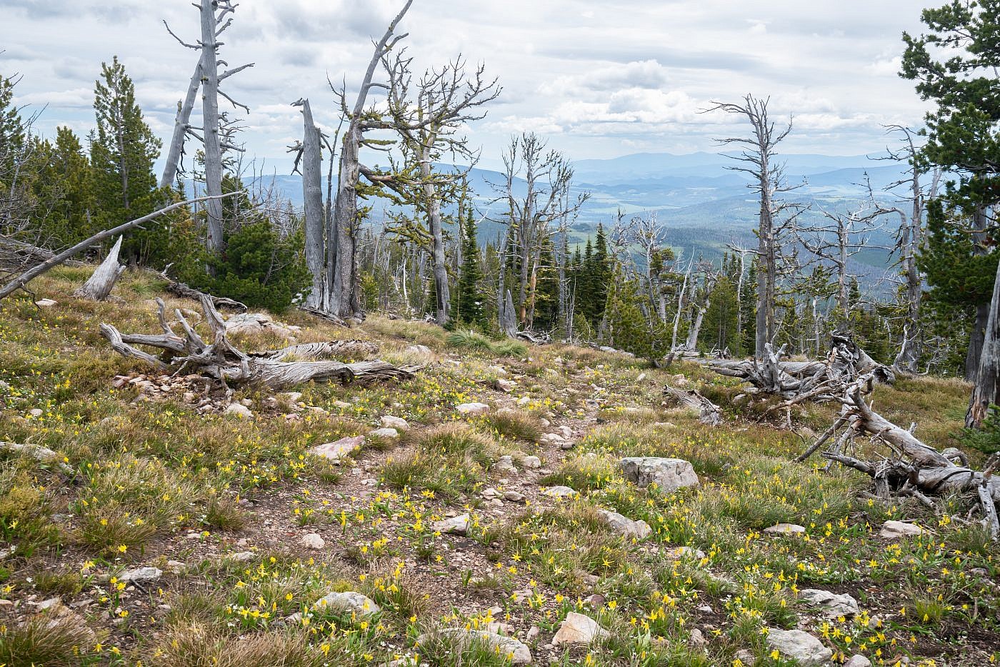
Glacier lilies were everywhere near the top.
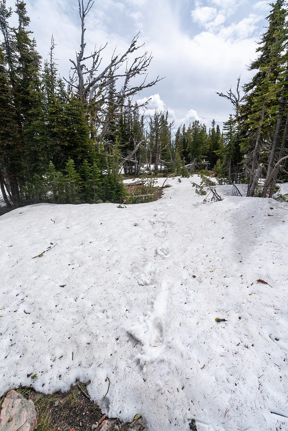
The few snow patches at the top didn’t cause me any trouble.
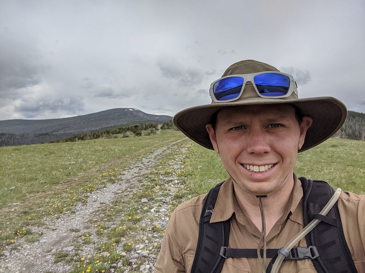
Black Mountain
I’m not going to lie, the summit of Black provides some of the most disappointing views of any mountain I’ve ever been on being completely forested with just a few small openings in the trees. I had really been hoping to get a nice view of Old Baldy Mountain, the highpoint of the Garnet Range which I did a couple weeks earlier, but no matter how hard I looked the trees were just too dense to see anything that direction. I was able to find a small opening in the trees to the north for a mediocre view of Nevada Mountain, the 2nd highest point in the range. Nevada could be done as a side quest by returning to the CDT and following it north for another 4ish miles along another forested ridge.
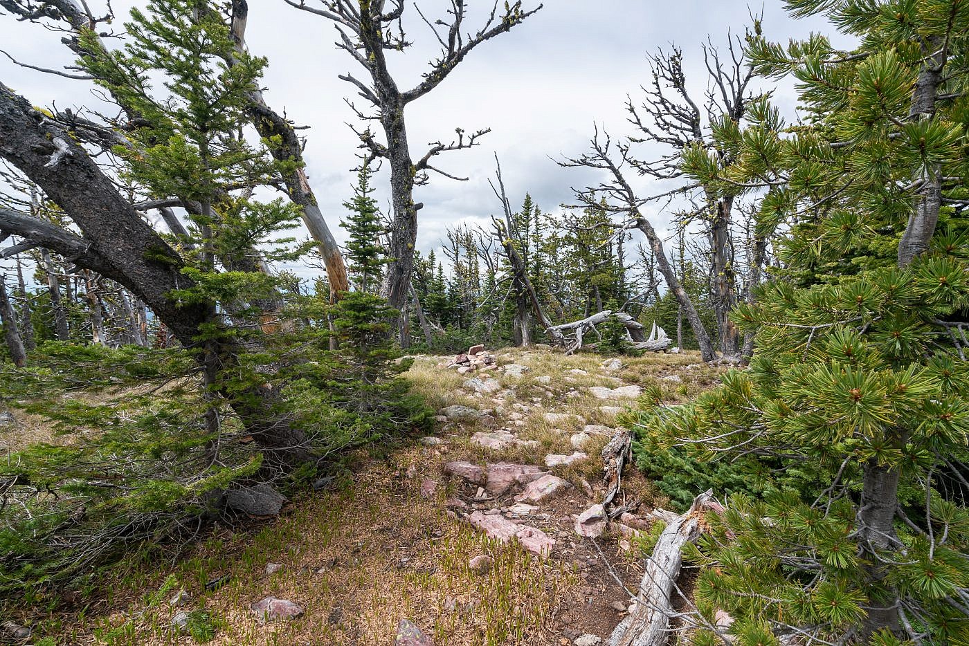
The summit of Black Mountain is completely covered in trees.
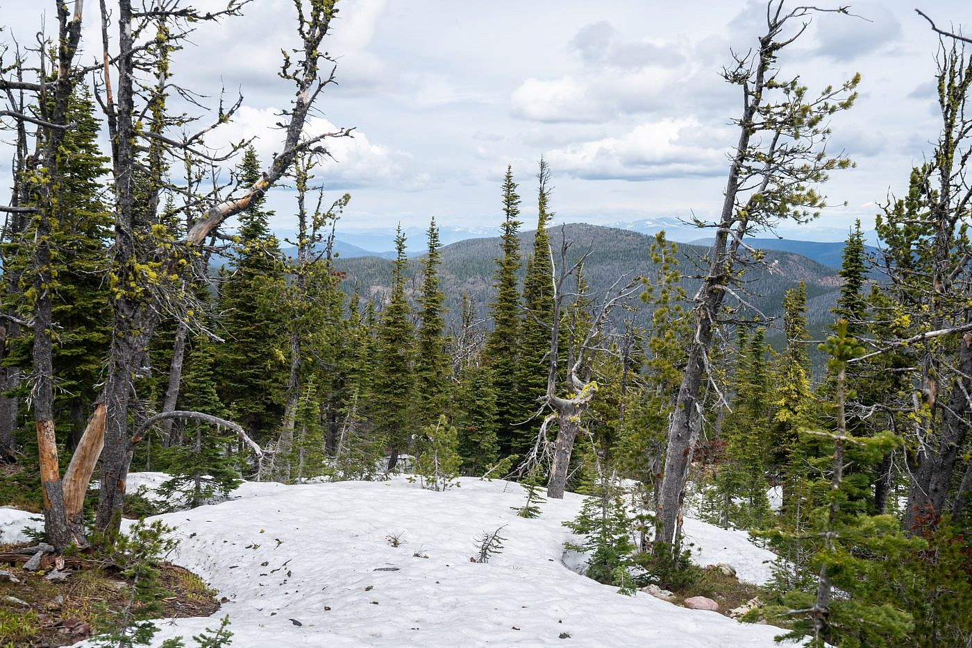
View of Nevada Mountain, the 2nd highest point in the range, from the summit. To get to Nevada return to the CDT and follow it north for another 4ish miles.
A rain shower rolled in just as I made it back to the safety of my car.
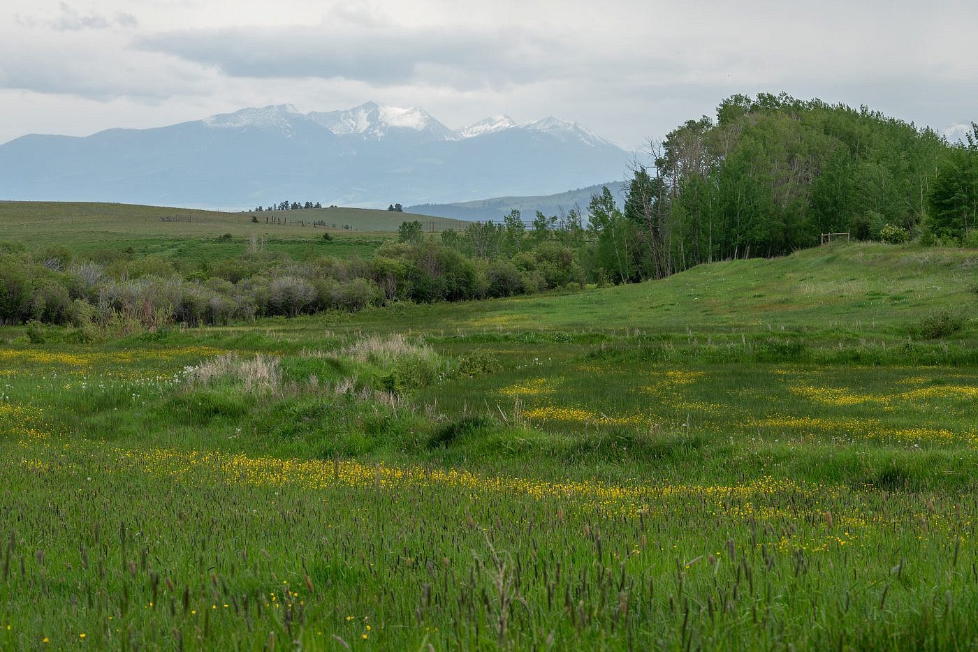
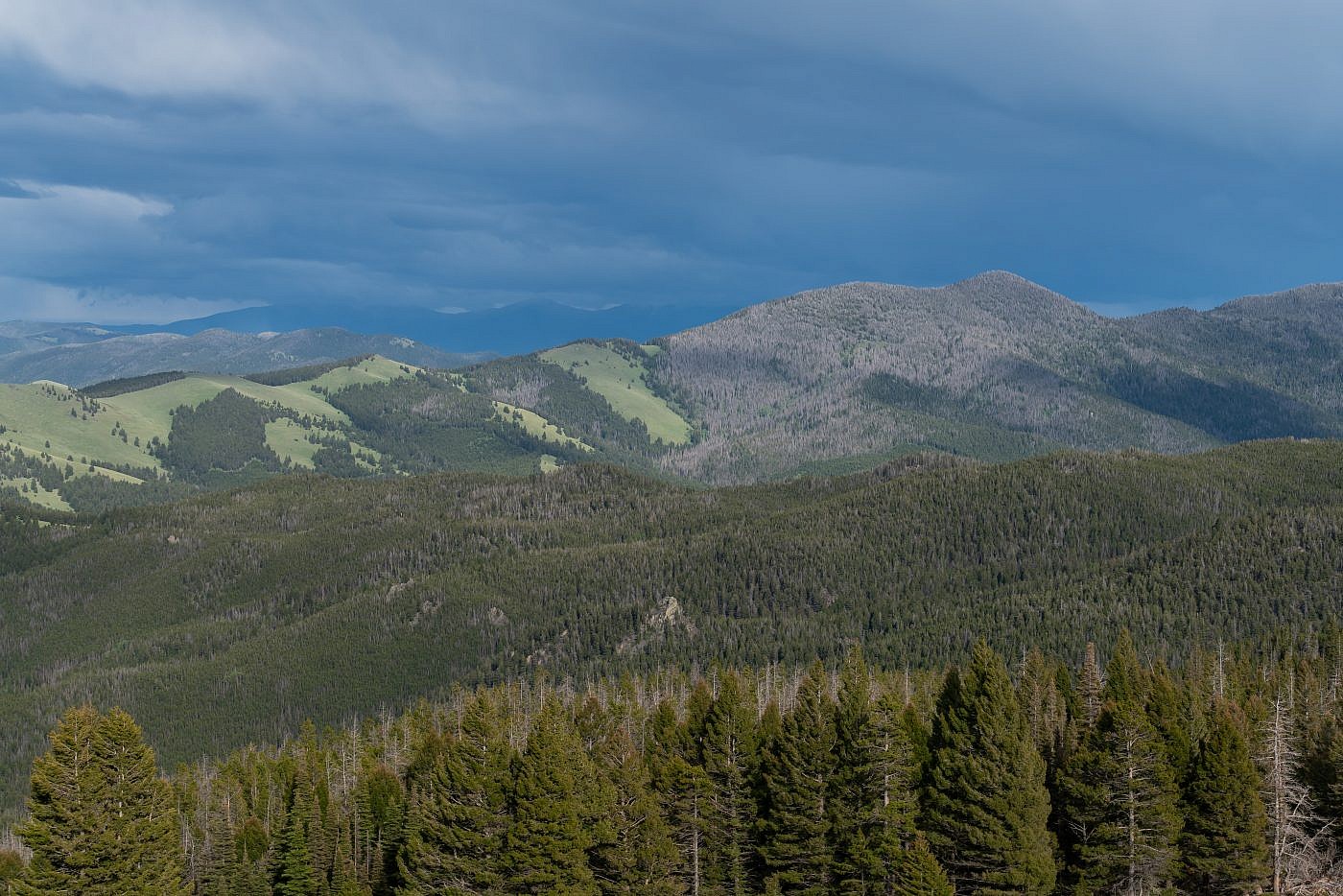
View of the Flint Creek Range on my way out.
