Gravelly Range
Black Butte
Download KML
Distance
1.25 miles one way
Type
Day hike
Difficulty
Easy
- Starting Elevation: 9300 ft.
- Ending Elevation: 10547 ft.
- Elevation Gain: 1247 ft.
 View all 16 photos
- Experience Date: Sep 23, 2018
- Hike Time: 2-3 hrs.
- Drive Time: 3 hrs.
- Road Condition: Very long but well-maintained dirt road. 2 WD accessible. High-clearance not necessary.
- Parking: No parking lot or official trailhead. Get as close as you can and park along the road.
- Fees: None.
- Campsite Availability: Plenty of designated and dispersed camping along the roads in the Gravelly's. Black Butte Cabin can also be rented out a short distance from the "trailhead".
- Private Property: None encountered.
- Trail Traffic: Very light.
- Trail Condition: Mostly off-trail travel. There is spotty trail leading through the scree as you start the ascent.
- Fire Restrictions: None.
- Stream Crossings: None.
- Water Sources: None.
- Snow: None.
- Winter Access: Unknown.
- Weather: Cloudy. Windy. Cool.
- Bugs: None.
- Wildlife Sighted: None.
- Side Quests: Scenic drive through the Gravelly's along Gravelly Range Road.

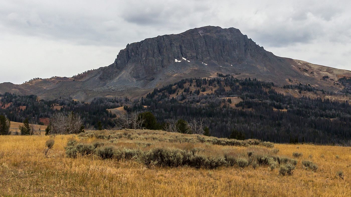
Black Butte of the Gravelly Range, southwest of Ennis, MT, is arguably the easiest of the mountain range highpoints in Montana to bag. It’s basically just a giant chuck of volcanic rock jutting through the earth and is somewhat of an anomaly of the Gravelly’s which are mostly just large rolling hills. Don’t let the 10,547′ elevation fool you. Thanks to the numerous roads that pervade the Gravelly’s you’re able to park within about a mile of its summit so you only end up have to ascend 1,250′. If you’re going to venture all the way into the heart of these mountains to summit Black Butte (it’s a 1.5 hr. drive from the highway to the trailhead) I highly recommend a scenic cruise along Gravelly Range Road which heads north-south through the range and offers plenty of additional recreational opportunities.
Black Butte.
Background
The Gravelly Mountains are one of the more elusive mountain ranges in the area. The mountains are mostly just large, rolling hills and dirt roads pervade the range providing easy access. You probably won’t find many hikers here as the range is primarily used by hunters and for the scenic drives. Additionally, the range has been the site of several grizzly attacks within recent years so it’s important to be bear aware while recreating in the range.
I’m not sure how first I stumbled upon Black Butte but in late 2018 I really started to obsess over exploring new areas around Bozeman and I guess the fact that it’s the range highpoint made it stand out. It’s easily accessible by vehicle and is an extremely easy hike to the summit from the road; probably one of easiest Montana highpoints to bag if not the easiest. Black Butte is definitely an outcast being the chunkiest of the named peaks in the range and at 10,547′ it’s surprisingly tall considering how easy it is to get to the top.
The Adventure Begins…
I left Bozeman on a Friday evening after work hoping to camp close to the trailhead so I could knock out the peak early in the morning in order to have more time to explore other parts of the range. I had initially planned to camp at one of the campgrounds near the Lyons Bridge Fishing Access just off of Highway 287 but after grabbing a bite to eat at the Grizzly Bar & Grill I decided I wanted to get even closer to the trailhead and began the long drive (1.5 hrs.) up Standard Creek Road which enters the range from the east.
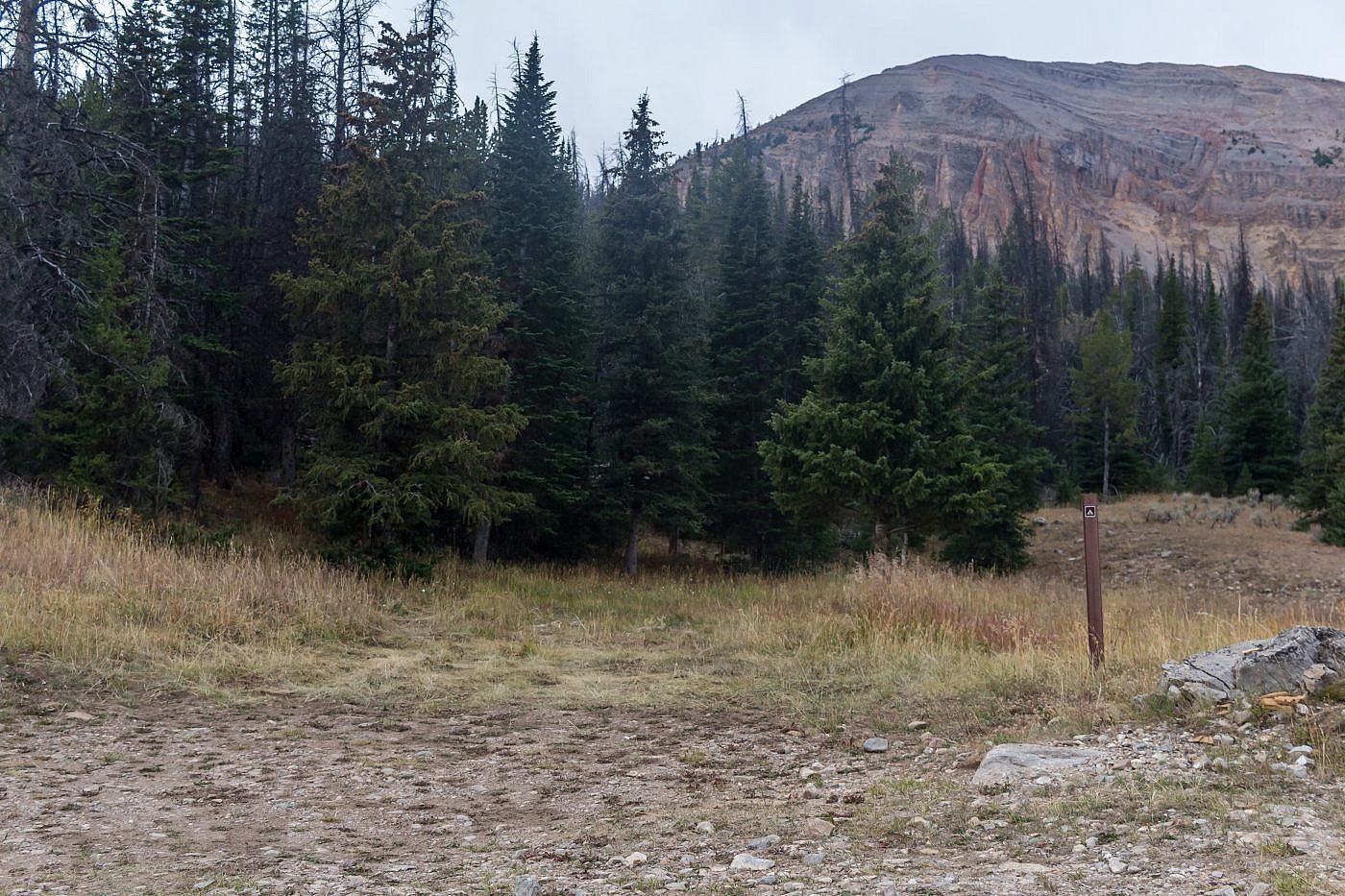
Standard Creek Road is a very well-maintained dirt road which leads deep into the heart of the Gravelly’s-perfect for anyone who wants to get a quick taste of the range. There are a number of designated campsites along this road but it was dark and I didn’t notice any of these on the way up. I ended up camping at the Wolverine Basin trailhead which is just a short distance from Black Butte.
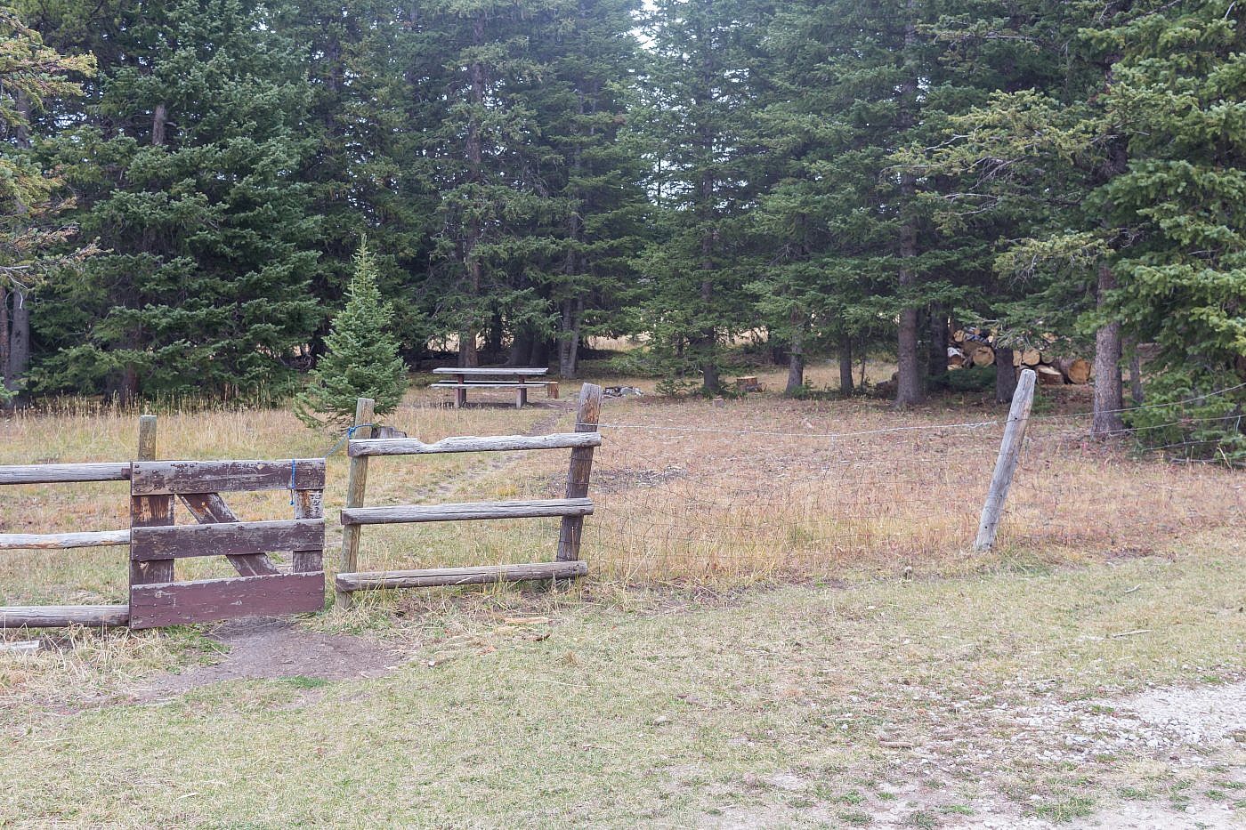
One of the many designated camping spots in the Gravelly’s.
I awoke to a beautiful sunrise the next morning in a area very foreign to me. It was nice to finally see what the scenery I had been driving through. From here it’s another 5ish miles to the turnoff for Gravelly Range Road, which runs north-south through the range. On the way you’ll pass by Black Butte Cabin which can be rented out and would make for an excellent base camp to do some exploring in the range.
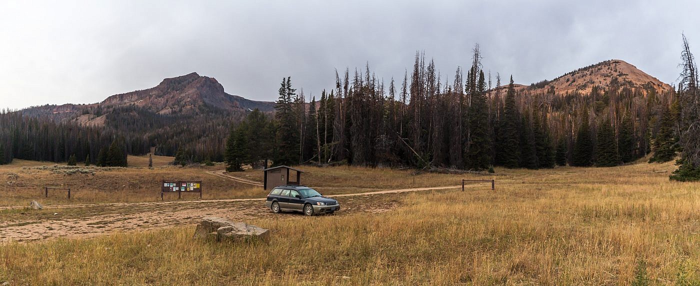
Wolverine Basin trailhead where I spent the night. Lion Mountain (10,171′) on the left and Cave Mountain (9,932′) on the right.
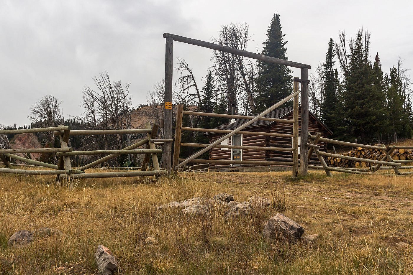
Black Butte Cabin.
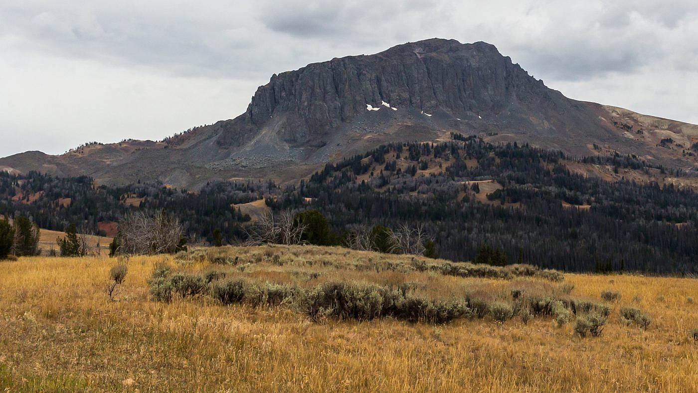
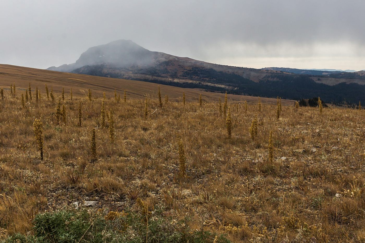
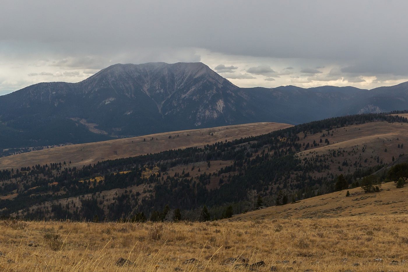
Near the junction of Gravelly Range Road you’ll get your first view of Black Butte. It’s now up to you where to park as the destination is obvious. I wanted to get as close as possible so I headed south at the junction for Gravelly Range Road, drove for about 1.5 miles, and parked alongside the road where it abruptly kinks to the east. There’s no parking lot since there’s no official trailhead.
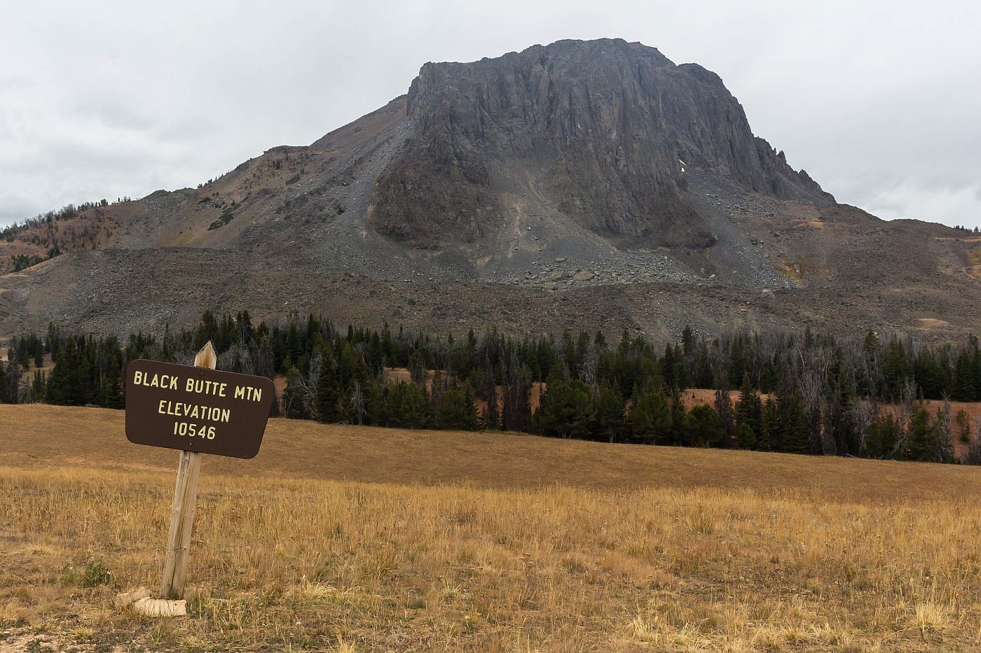
Black Butte.
On the Trail
Getting to the “trailhead” is the majority of the challenge for this one. It’s clear where to go from the parking spot-simply head west toward the giant chunk of rock protruding from the earth! There’s no trail so you’ll be hiking through some open fields for the first 3/4 mile or so.
From a distance you can see a sort “ramp” that slices through the eastern face of the butte-this is the point you want to shoot for for the simplest ascent. At the base of the ramp you will find a trail that leads you most of the way to the top. It gets a little steep in spots but it doesn’t last long and you’ll soon find yourself emerging near the top of the butte where it flattens out. At this point simply head for the summit which is marked by a large cairn.
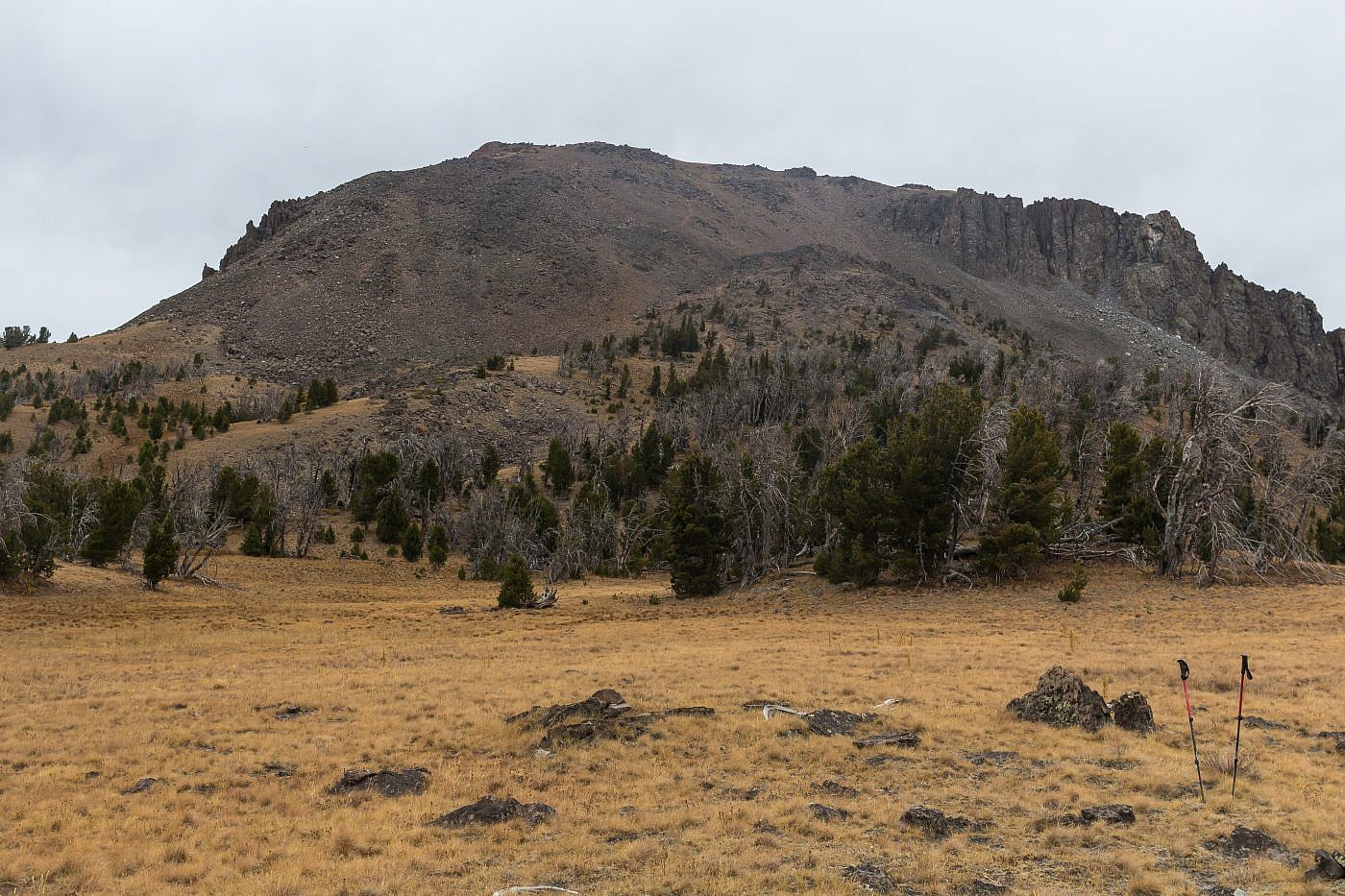
Approaching Black Butte from the east. Note the “ramp” which slices through the east face of the butte. This is the route you want to follow to the top
The Summit
The summit provides some incredible views of the area. I spent much time at the top with my map identifying the surrounding mountain ranges and other features of the Gravelly’s. The Snowcrest Range to the west intrigued me more than anything. It’s an extremely remote range and, from what I can tell, there’re no easy access points. The Greenhorn Range to the north, a sub-range of the Gravelly’s, also caught my attention.
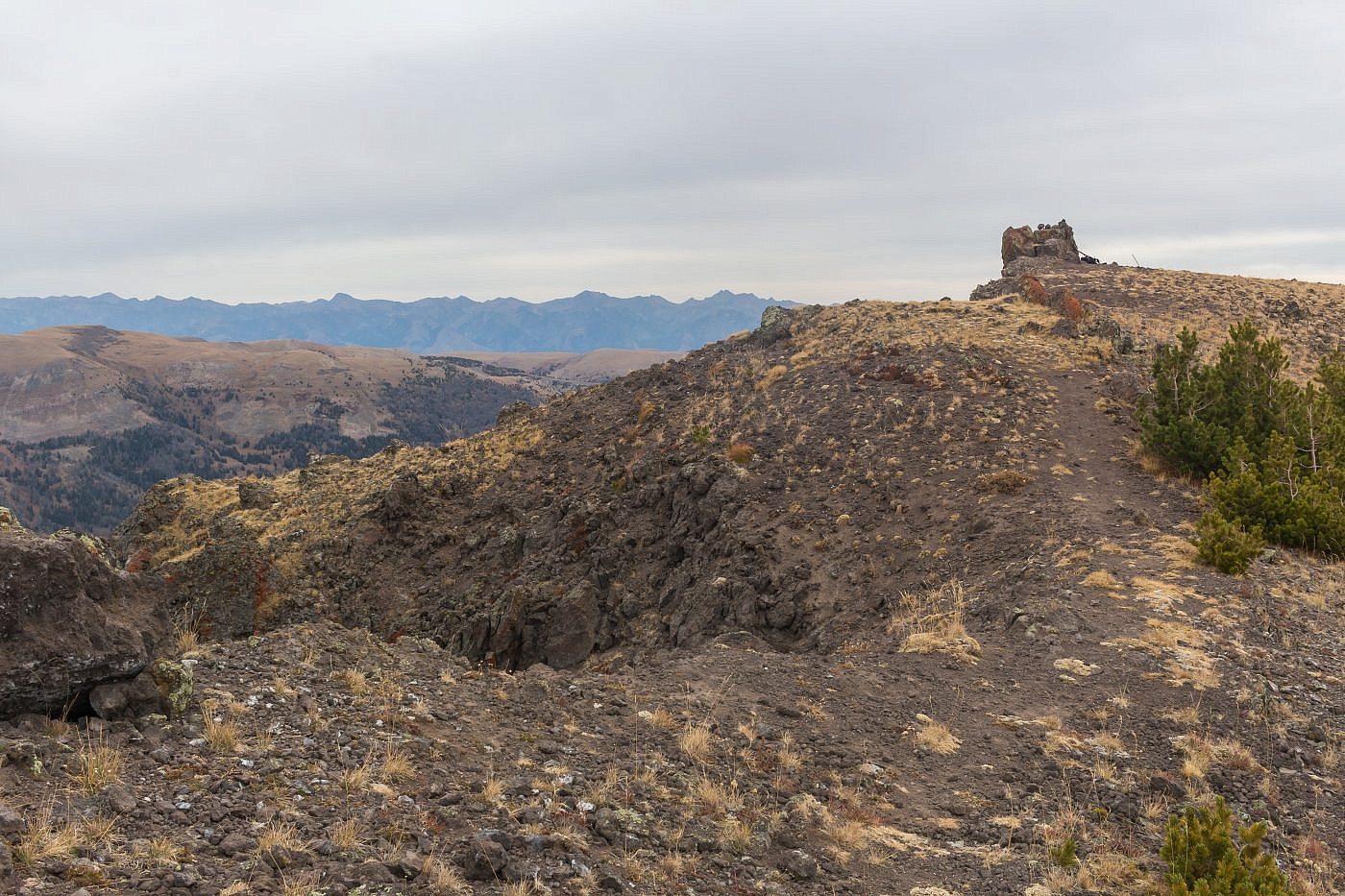
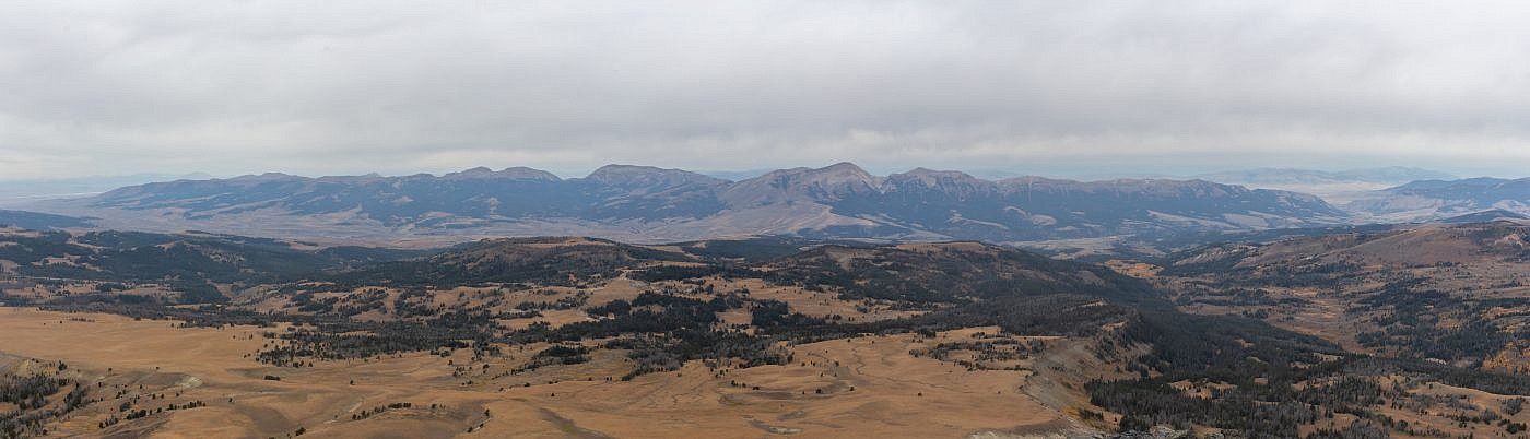
Looking east towards the summit of Black Butte which is marked by the large cairn. Madison Range in the distance.
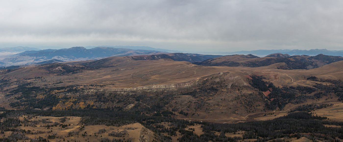
Looking north from the summit. Notice the difference in topography of the rest of the range compared to Black Butte. Gravelly Range Road can be seen heading north along the “spine” of the range. I highly recommend this scenic drive. The road is in great shape and there are all kinds of side trails and camping spots to be had. The Greenhorn Range, a small sub-range of the Gravelly’s, can be seen in the distance on the left.
Closeup of the Greenhorn Range. Sheep Mountain (9,697′) is the highpoint.
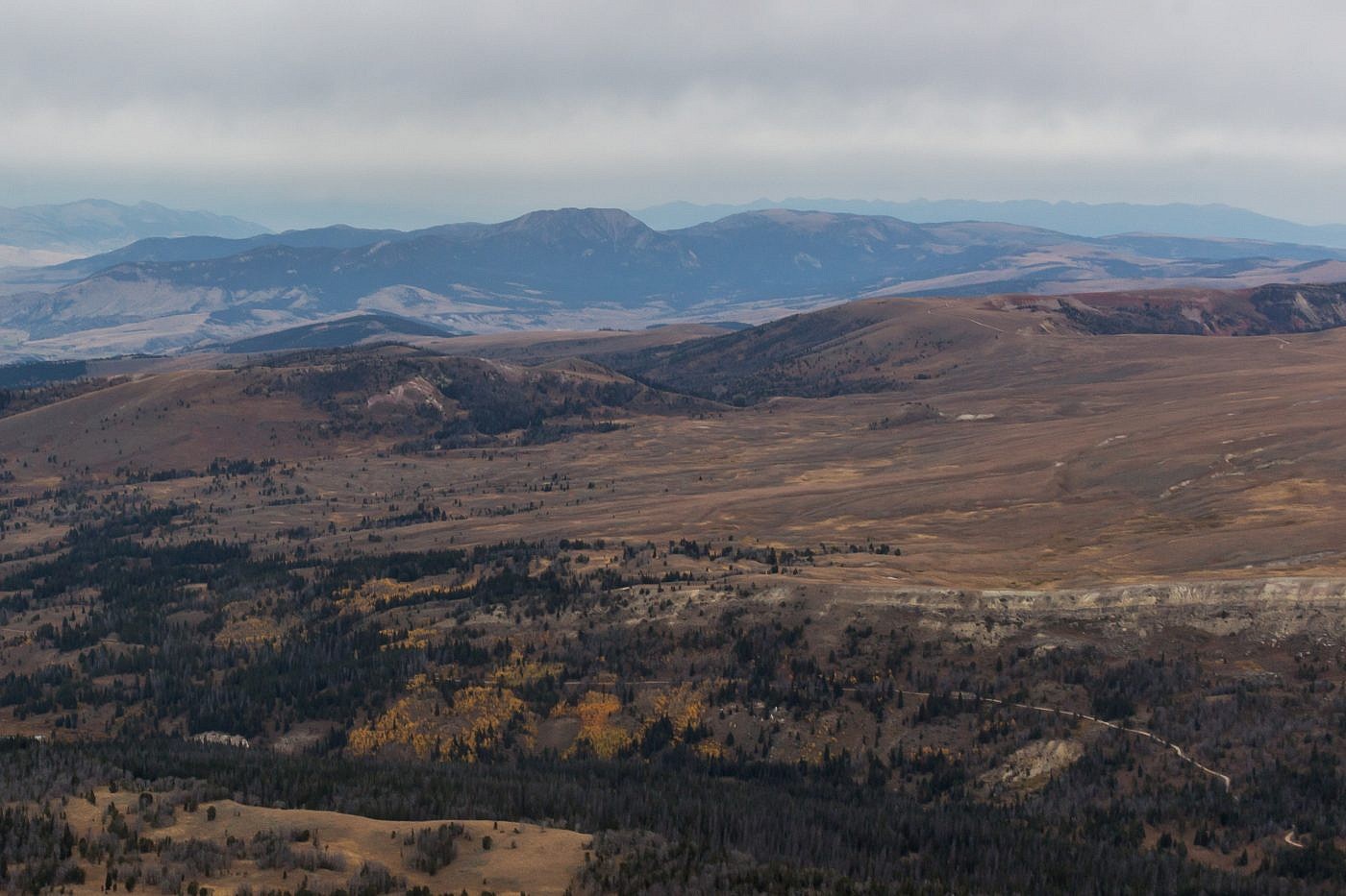
Looking west from the summit. The Snowcrest Range, in the distance, is arguably one of the most remote mountain ranges in the state. There are no easy access points which makes its highpoint, Sunset Peak (10,581′), exceptionally difficult to reach.
Gravelly Range Road
If you’ve put in all the effort to drive to the heart of the Gravelly’s you might as well take a drive along the scenic Gravelly Range Road. The road is in great shape making it accessible by any vehicle. There are all kinds of spots to camp along this road and even an official campground-Clover Meadows Campground. Forest service road #292 will lead you out of the range and spit you out at Ennis, MT making for a great loop through the Gravelly’s.
Looking south towards Black Butte from Gravelly Range Road.
Closeup of Sheep Mountain of the Greenhorn Range.
Clover Meadows Campground.
Along forest service road #292 you’ll drive past the remnants of the Wigwam fire which decimated the area in the summer of 2018, just a month prior to my visit. It was incredible to observe the desolate forest and I even found the charred skull of some unlucky critter that may have perished during the fire.
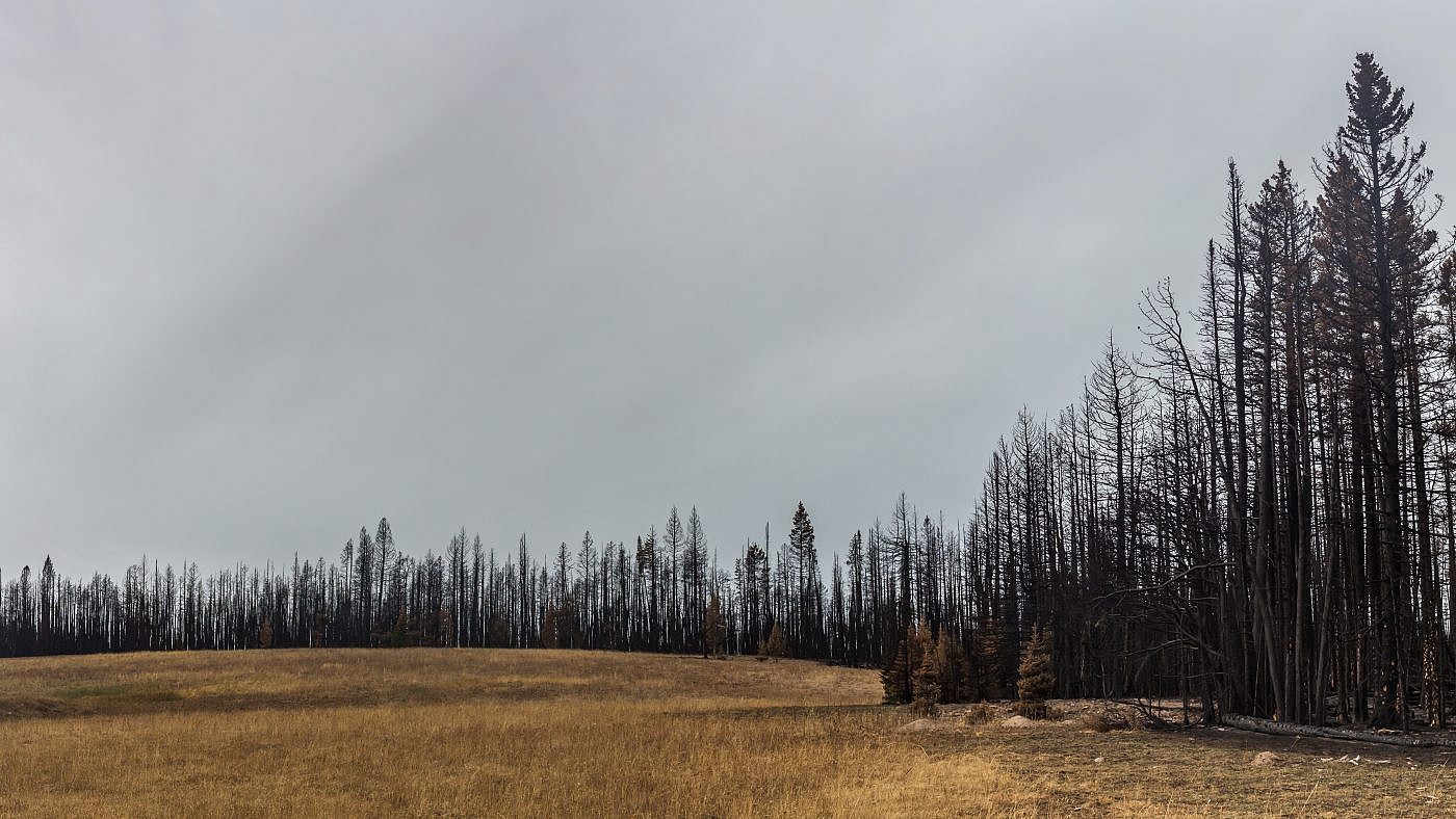
Remnants of the Wigwam fire.
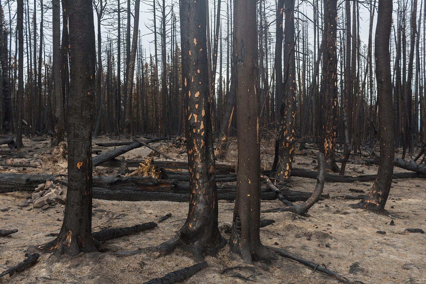
The desolate forest.
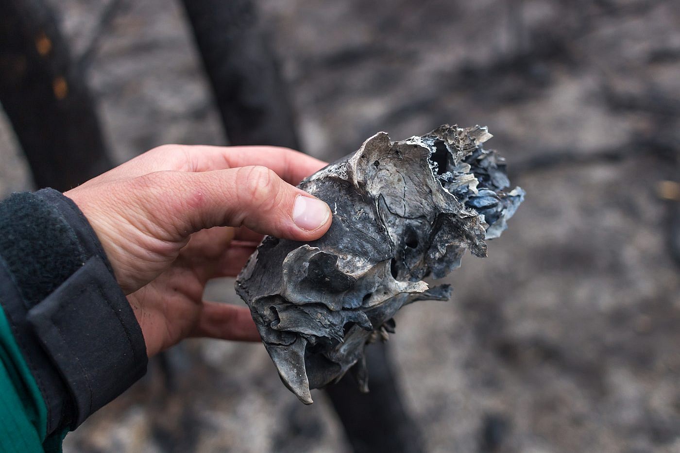
A charred skull I found on the surface of the rubble.
Either the memory of past bliss is the anguish of today, or the agonies which are, have their origin in the ecstasies which might have been.
-Edgar Allan Poe
