Henrys Lake Mountains
Sheep Point
Download KML
Distance
7 miles one way
Type
Backpack
Difficulty
Hard
- Starting Elevation: 6500 ft.
- Ending Elevation: 10606 ft.
- Elevation Gain: 4106 ft.
 View all 17 photos
- Experience Date: Aug 17, 2019
- Hike Time: 8-9 hrs.
- Drive Time: 1 hr. 50 min.
- Road Condition: Well-maintained dirt road. 2 WD accessible. High-clearance not necessary.
- Parking: Plenty of parking.
- Fees: None.
- Campsite Availability: Camping at trailhead and Sheep Lake.
- Private Property: None posted.
- Trail Traffic: Very light.
- Trail Condition: Well maintained up to Sheep Lake. Off-trail scramble up to peak from lake.
- Fire Restrictions: None.
- Stream Crossings: None.
- Water Sources: Sheep Creek.
- Snow: None.
- Winter Access: Unknown.
- Weather: Partly Cloudy, Pleasant. 70's.
- Bugs: None.
- Wildlife Sighted: None.
- Side Quests: Coffin Mountain.

Sheep Point (10,606′) is the unofficial name for the highpoint of the Henrys Lake Mountains which straddle the Montana-Idaho border just west of West Yellowstone. There are several routes to the summit but the simplest approach is via Sheep Creek. It’s a well established trail that parallels Sheep Creek all the way to Sheep Lake at the base of Sheep Point. From there it’s a formidable, although not technical, off-trail scramble up a steep cirque to the summit. It’s possible to do this as a long day hike but the camping around Sheep Lake is wonderful so I recommend breaking it up into two days. Nearby Coffin Mountain could be done as a side quest and there’s plenty of cool looking terrain on the south side of Sheep Point that would be fun to explore. Quake Lake, just north of the range, is an interesting side attraction if you’re looking for something else to do nearby.
Sheep Point.
Background
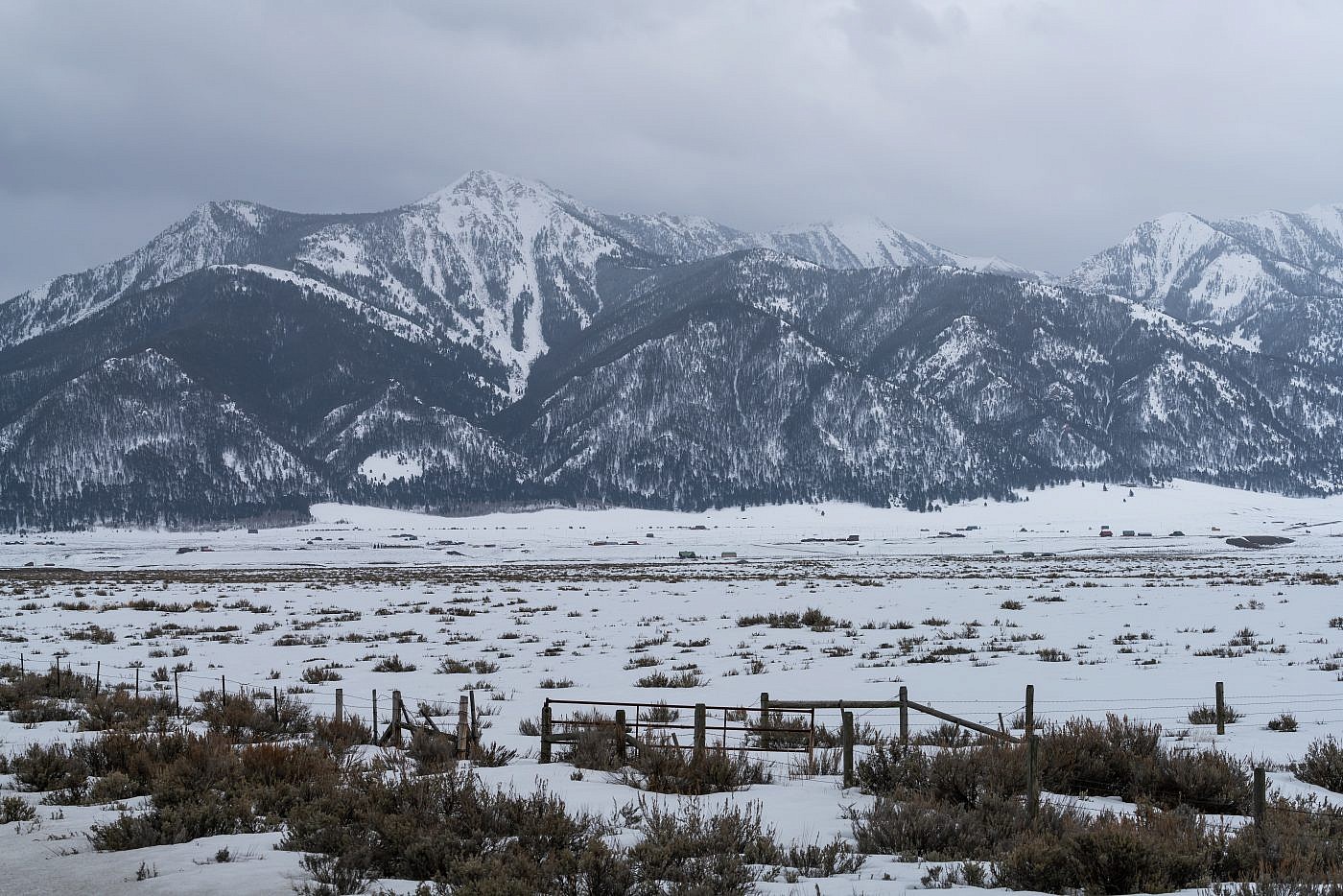
The Henrys Lake Mountains are a small mountain range that straddle the Montana-Idaho border just west of Hebgen Lake near Yellowstone National Park. They’re essentially an extension of the well-known Madison Range and are geologically similar. The Madison River separates the two ranges and the infamous Earthquake Lake defines the northern border of the range. Earthquake Lake, or just Quake Lake, formed in 1959 when an earthquake triggered a landslide which dammed up the Madison River. The earthquake is the deadliest in Montana history costing millions of dollars in damages and claiming 28 lives.
I cannot comment on how “well-known” the Henrys Lake Mountains are, only on how unknown they were to me when my friend Nevin proposed a backpacking trip to Sheep Lake located in the heart of the range. Apparently he knew nothing about them either having only discovered the lake after doing a quick search on alltrails.com. Of course I immediately began skimming maps of the area searching for some nearby peak we could climb as a side quest and I quickly discovered, much to my delight, that the highpoint of the range was practically within arms reach of the lake!
For some reason the highpoint of this range doesn’t have an official name. You’d think they’d have named it Sheep Mountain after Sheep Lake at the base of its slopes, but they gave that name to a smaller mountain a couple miles north. There are several unofficial names floating around for this one. Cedron Jones’ book “Peakbagging Montana” refers to it as “Peak S (South) of Sheep Mountain” while the summitpost entry and Wikipedia refer to it as “Sheep Point” which, to me, seems more appropriate and I will therefore adapt.
North end of the Henry’s Lake Mountains. Sheep Point on the center right in the clouds. Sheep Mountain false summit on the center left.
Sheep Point (10,606′) can apparently be accessed by several angles following either, Sheep Creek, Mile Creek, or Targhee Creek. Since our main plan was to backpack to Sheep Lake we obviously took the Sheep Creek route. It’s about 6 miles and 2,500′ of elevation to the lake plus another mile and 1,500′ of elevation up to the peak, the last section being a steep, off-trail scramble. This could be done as a long day hike but the camping at Sheep Lake is so nice that I recommend breaking it up into two days. Descriptions of the other routes can be found on the summitpost entry.
The Adventure Begins…
For the 2nd time this year I’d have some companions joining me, Arlo and Nevin. I was especially excited for this one. Not only would we be venturing into a completely unknown mountain range but we’d also have the opportunity to knock out the range highpoint. I knew I was fully committed to summit the peak but I had to make sure Arlo and Nevin were on board so I spent some time on the drive attempting to persuade them to join me.
Getting to the trailhead doesn’t require a high-clearance vehicle or any confusing dirt roads. Simply exit Highway 87 at Sheep Creek Road (about 1.4 miles south of Highway 287) and follow it 2.6 miles east to the trailhead.
On the Trail
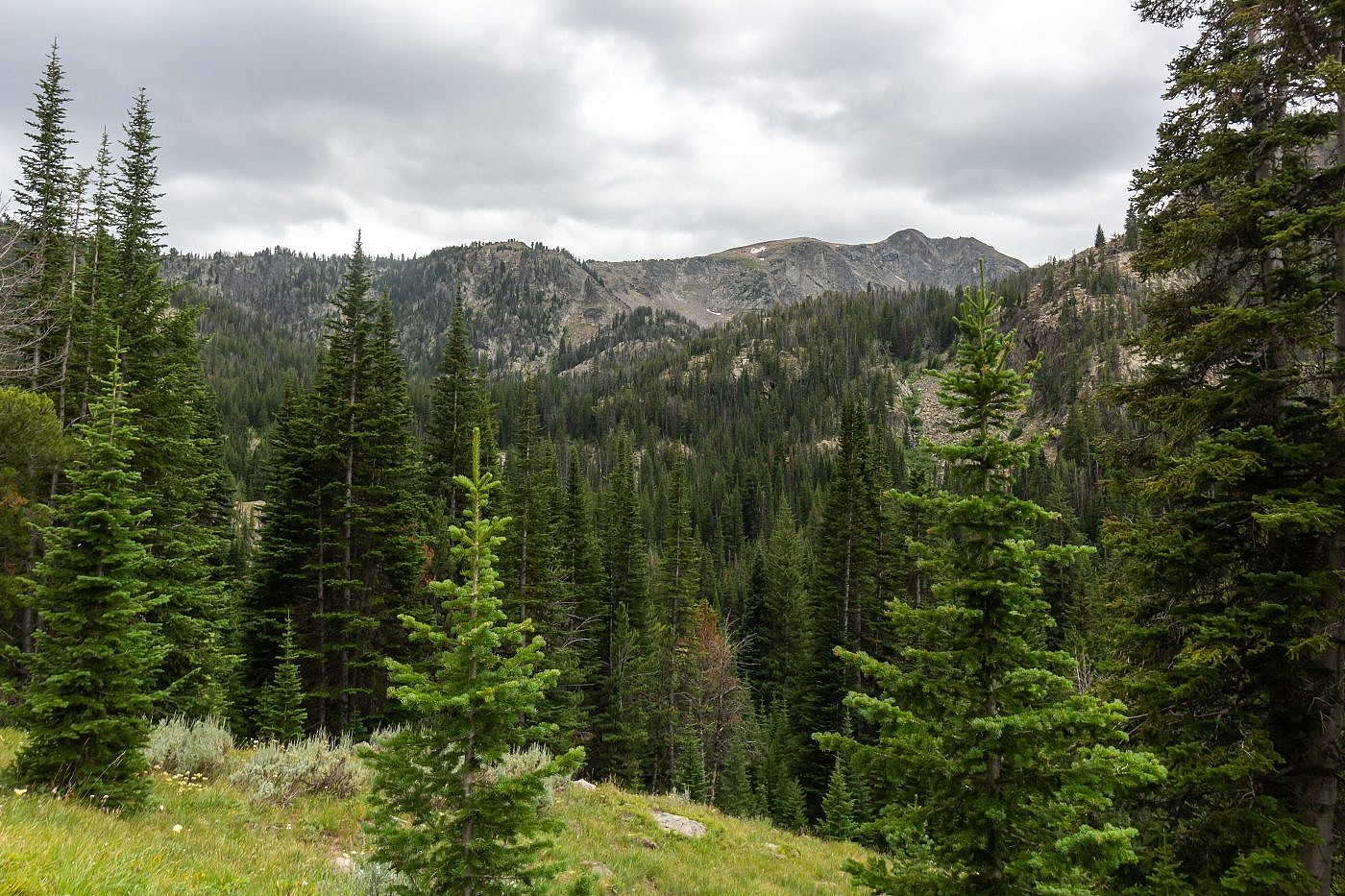
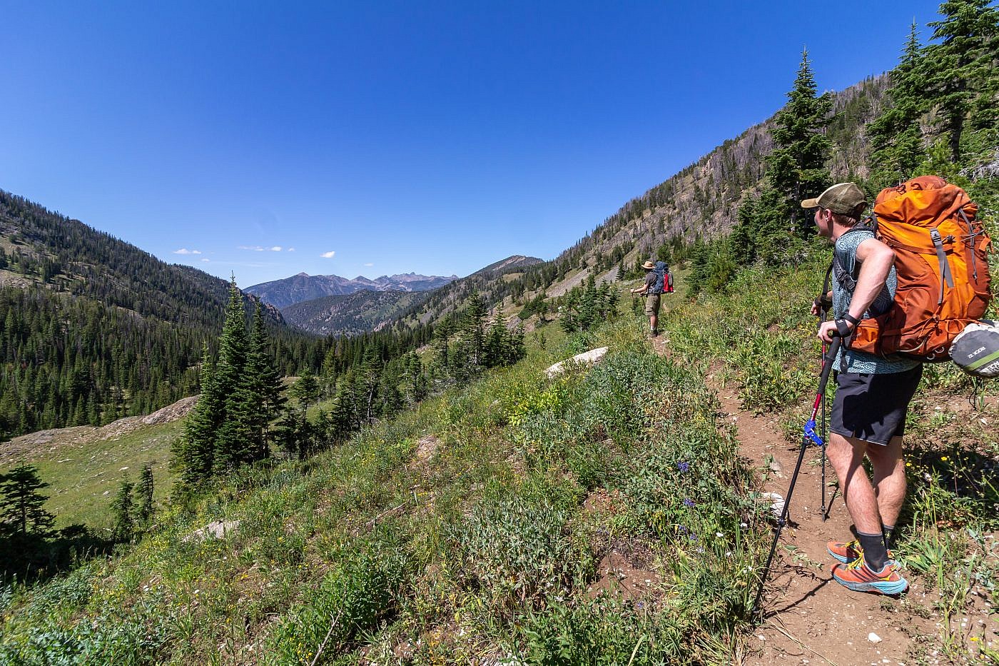
The trail to Sheep Lake is all around a nice trail. It’s well-maintained, well-designed, and completely deserted. The first section is mostly shaded but as you get closer to the lake the forest opens up and you get a nice view of Sheep Point to the southwest. Sheep Creek provides a decent water source but much of the trail sticks to the edge of the canyon so the creek is not always easily accessible.
First view of Sheep Point.
Looking north down the canyon towards the Madison Range.
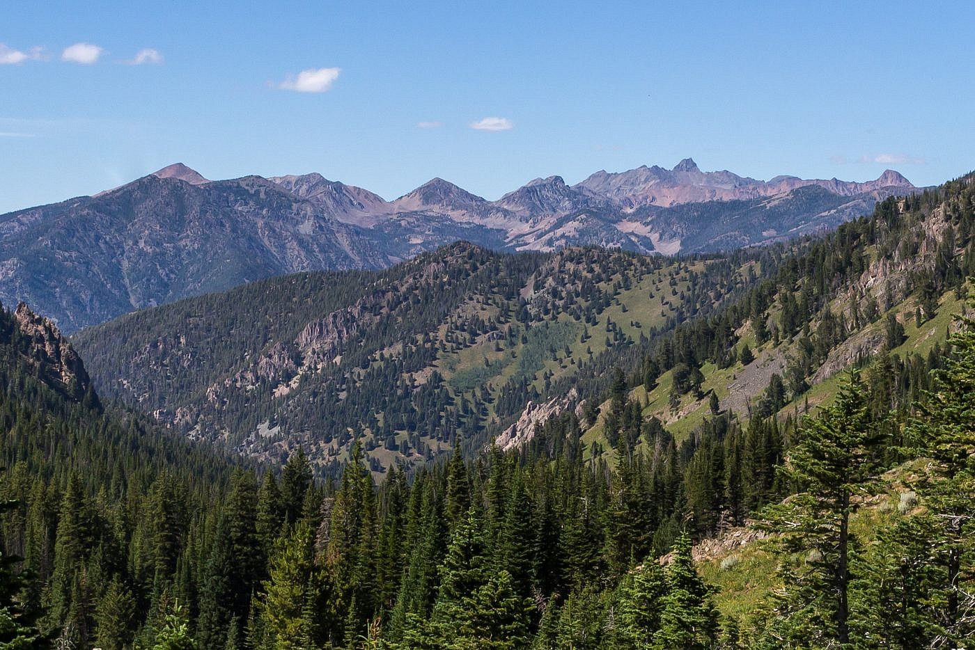
Closeup of the Madison Range. The tall point in the center right is the highpoint of the range, Hilgard Peak (11,321′). Hilgard is a monster being the highest peak in Montana excluding the Beartooths. From the information I’ve gathered, getting to its summit is no picnic although no technical climbing skills are required.
Sheep Lake
Once at the lake we threw down our packs and immediately began looking for a camping spot. There’s no shortage of flat area around the lake and since no one else was there we were able to snag a prime camping location. After setting up camp we took a short hike up the slopes north of the lake. I wanted to assess the route up to Sheep Point before making our hopeful attempt in the morning. Cedron Jones suggests following a sort of natural ramp up the southern shores of the lake and from my own assessment it seemed like the simplest approach.
After our exploratory mission we settled in for a nice relaxing evening around the campfire. I always try to bring something creative for dinner on backpacking trips and this time I chose something special from my homeland, the Chicago Dog.
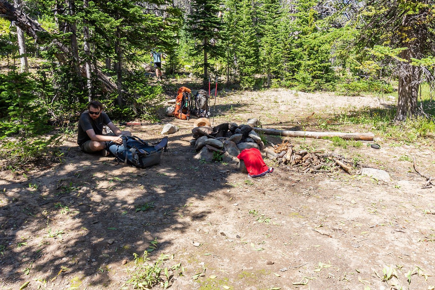
Our campsite. There’re plenty of flat areas to pitch a tent.
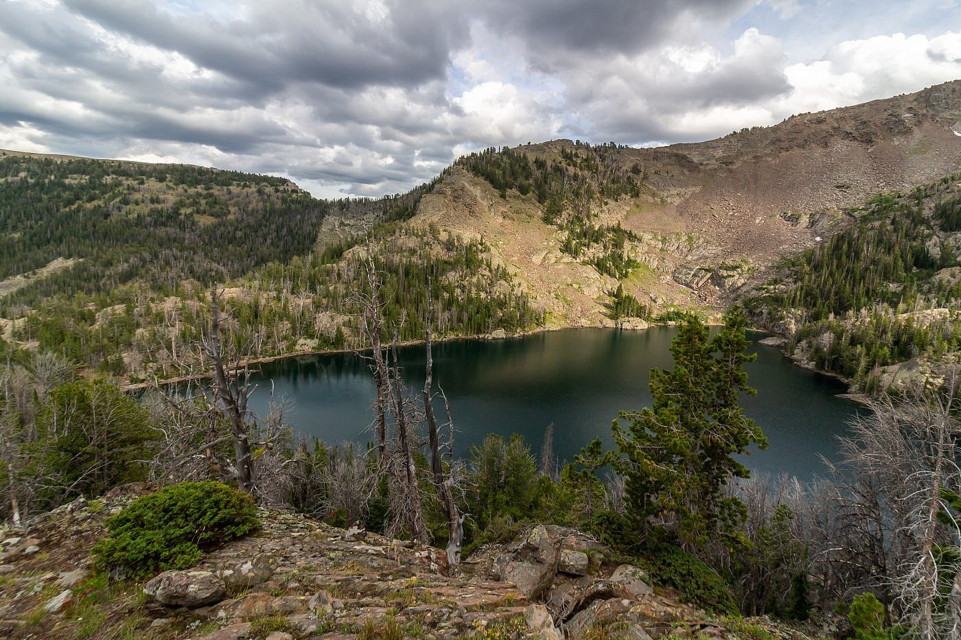
View of Sheep Lake from a lookout on the slopes north of the lake.
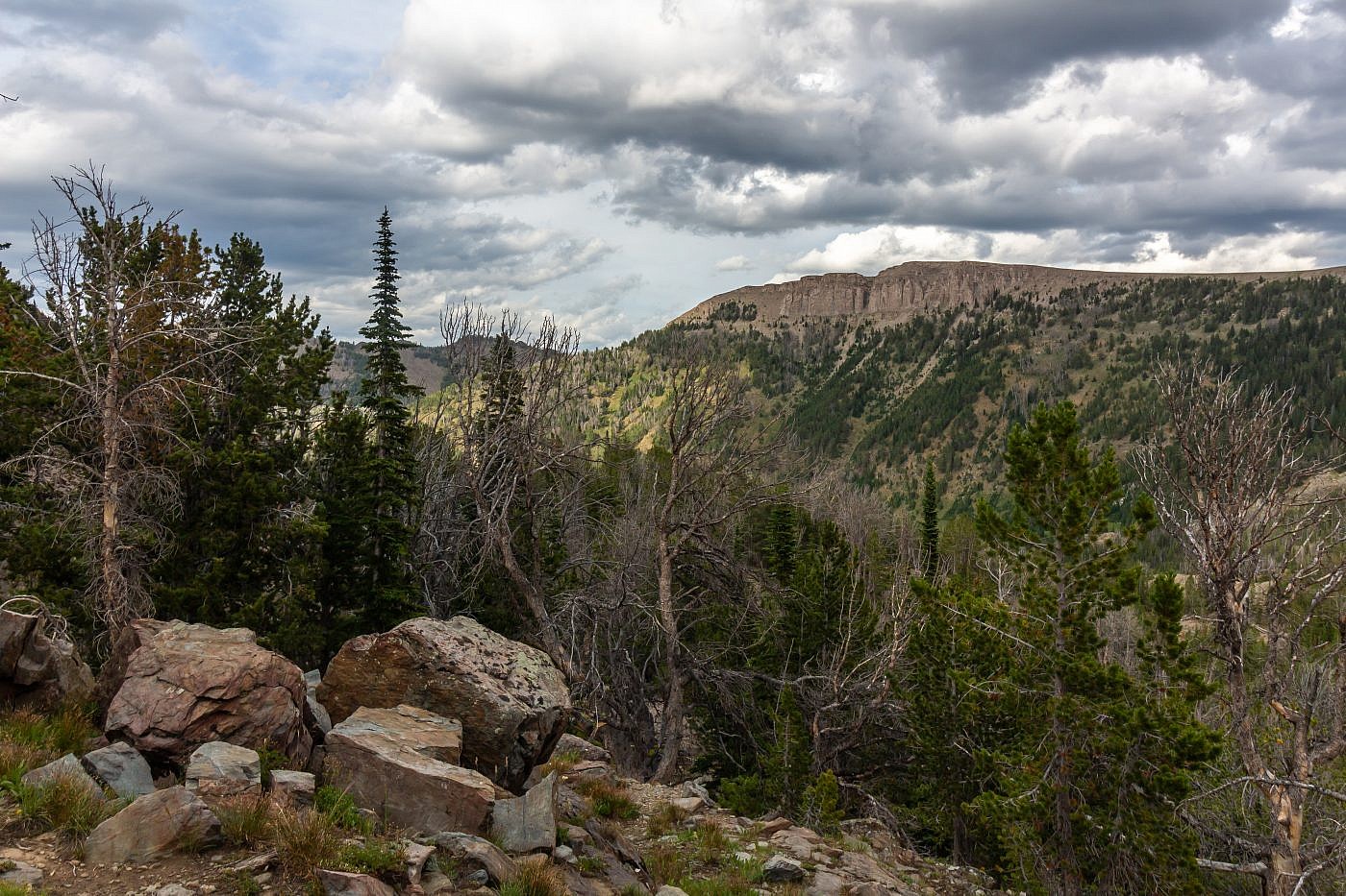
Looking east from the lookout towards Coffin Mountain (9,071′). Cedron Jones recommends a route which loops up to Sheep Point from the lake, around the ridge to Coffin Mountain, and then back down to the trail.
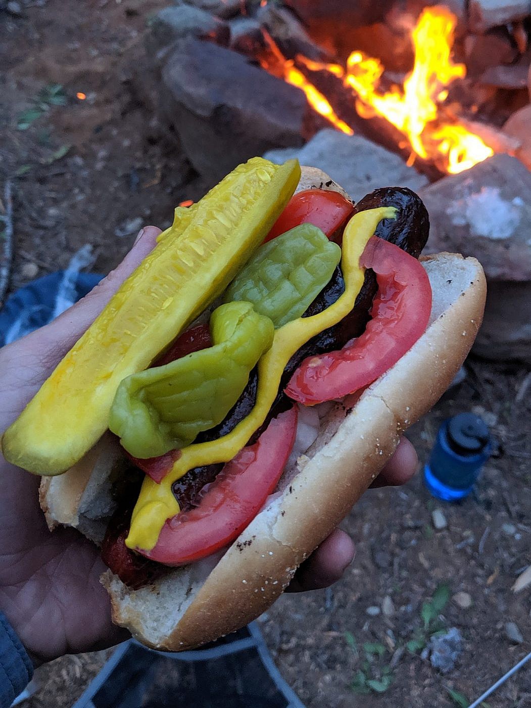
My delicious Chicago Dog.

Sheep Lake with Sheep Point in the background.
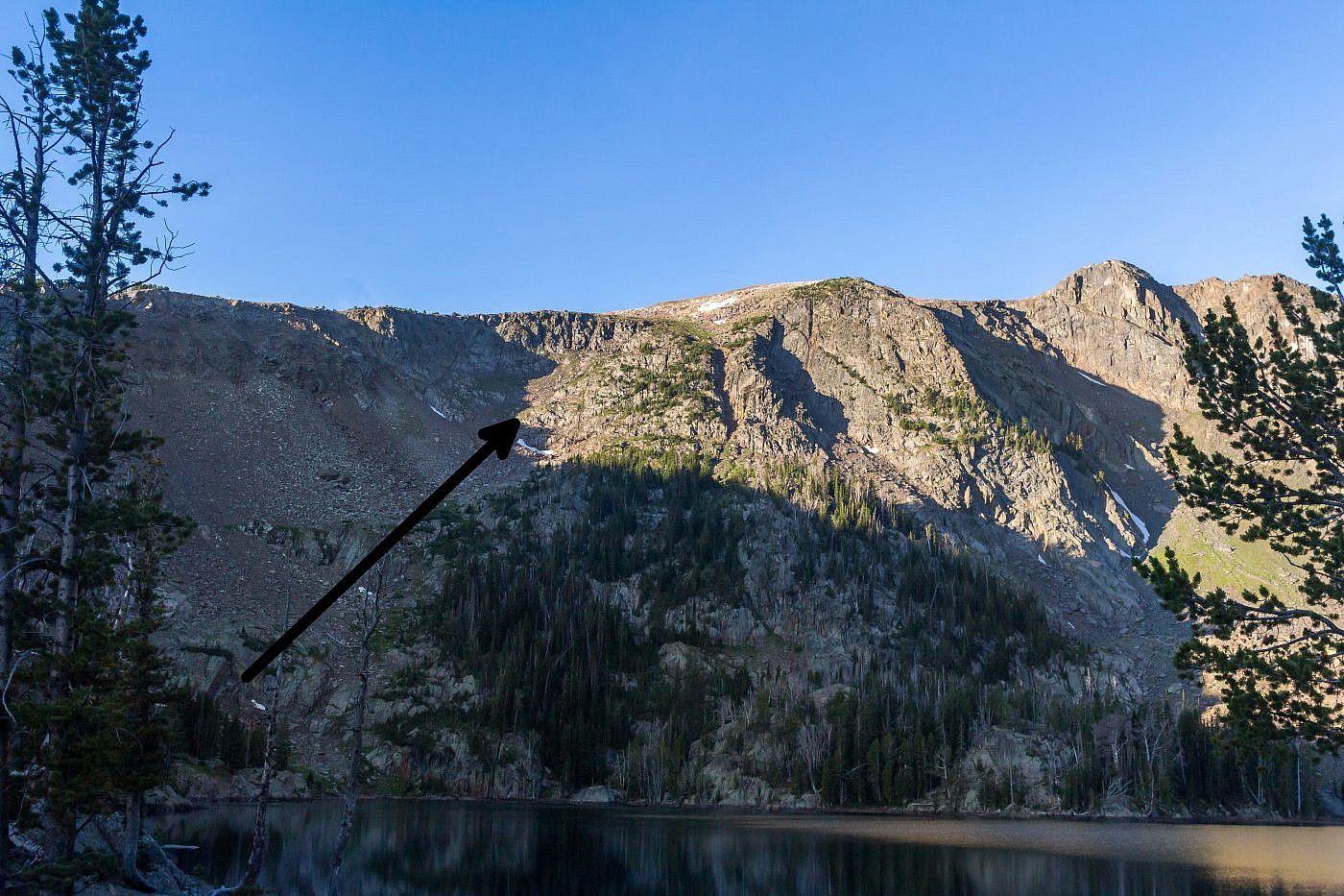
Picture showing the natural ramp which Cedron Jones recommends following to get to Sheep Point. It’s not nearly as nasty as it looks from this angle.
Sheep Point
I awoke the next morning full of excitement. For me, the success of the trip hinged on us getting to the top of Sheep Point; I felt that if I didn’t knock it out now it could be years before I returned to finish the job. As we sat around our morning campfire we discussed the ascent. Arlo was feeling a little under the weather at first but by the time we finished breakfast he was feeling well enough to commit and shortly after we set off.
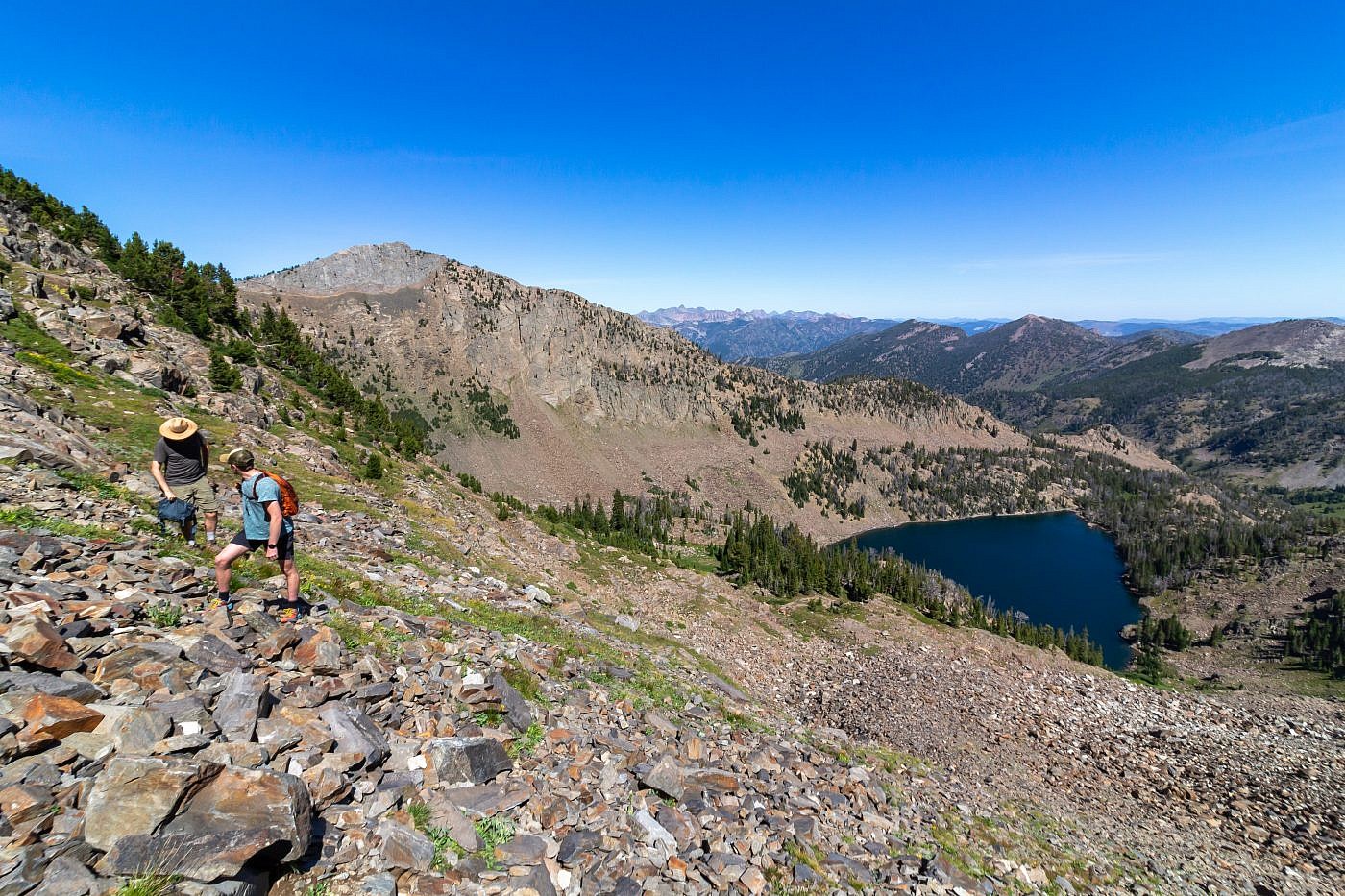
The first challenge is to bushwhack around the lake to the natural ramp described earlier. Once at the ramp we made an assessment as to the easiest way up. The ramp doesn’t look nearly as bad as it does from the other side of the lake but it’s still steep and rocky with some clear obstructions along the way. I suggest just using common sense on this one. There’re plenty of routes you could take and any of them will get you to the top but I suggest sticking to the grassy areas as much as possible. As you approach the crest of the ridge the hiking gets substantially easier and once there simply ride it the rest of the way to the summit.
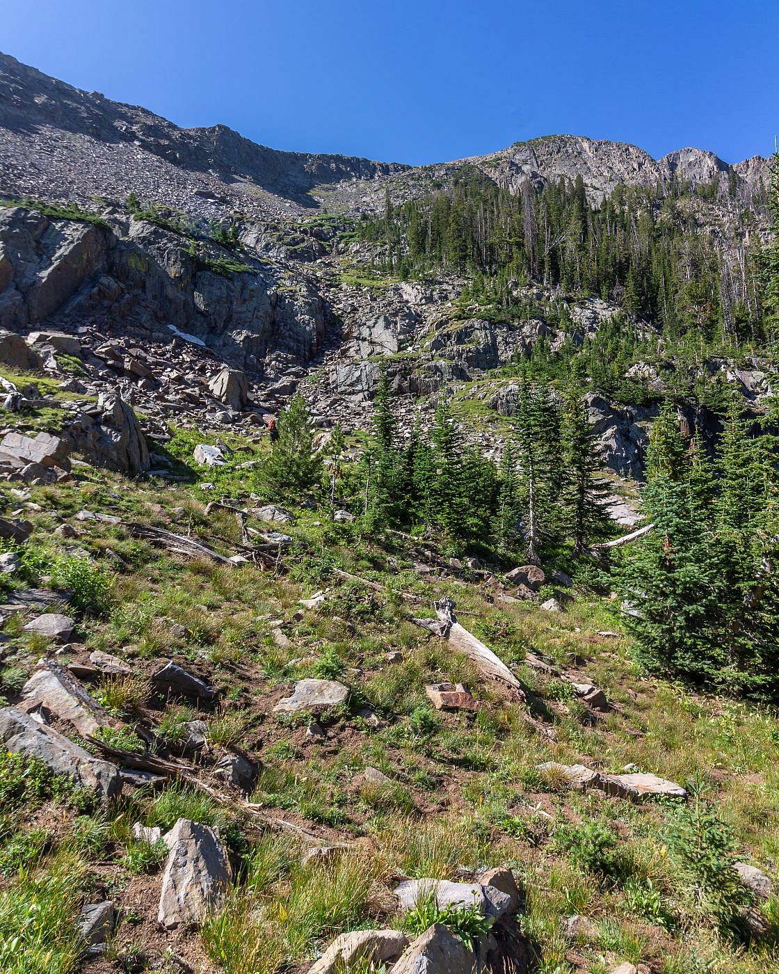
The natural ramp leading up the cirque to Sheep Point.
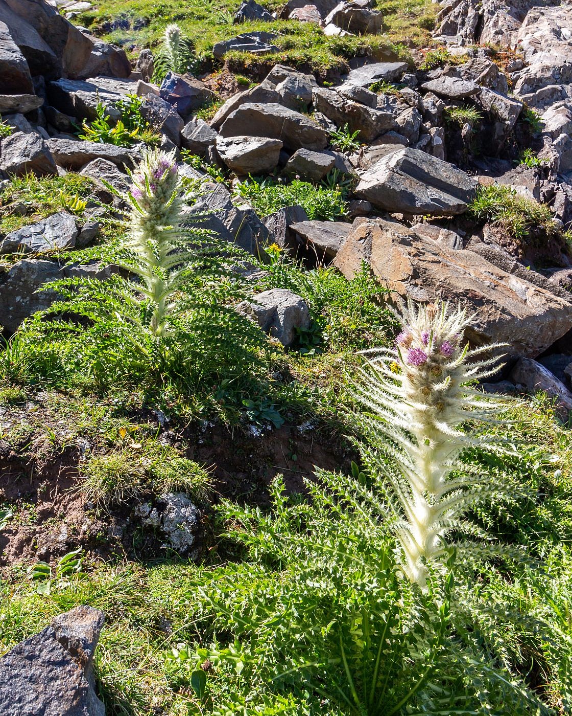
Watch for thistles on the way up!
Taking a brief pause on the slopes.
Nearing the crest of the ridge. First closeup view of Sheep Point.
The Summit
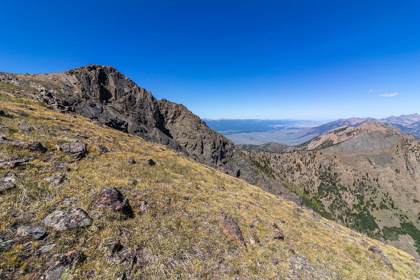
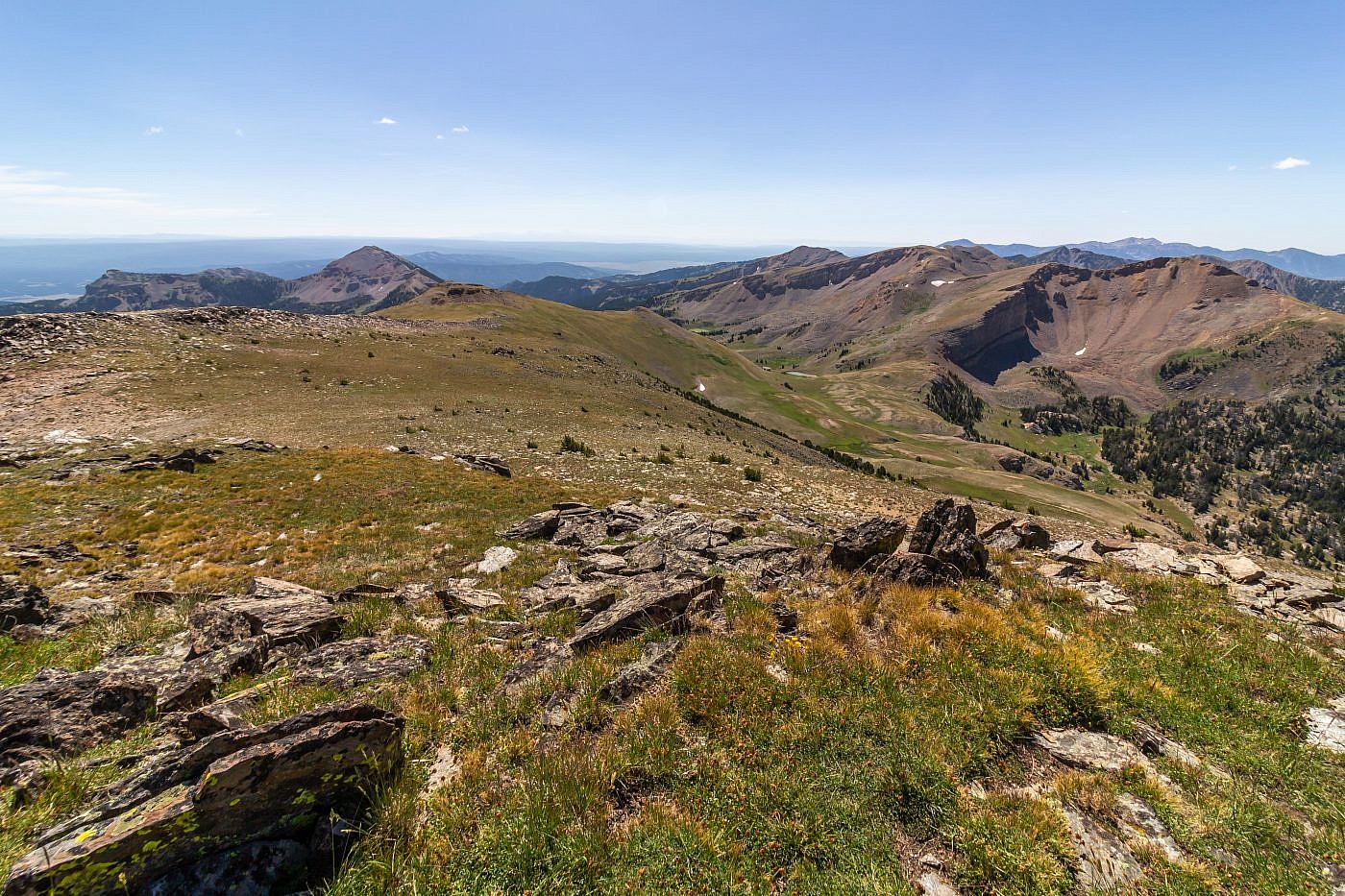
The views from the top are astonishing. Having not been to the area before I hadn’t yet seen the mountains from this angle and there were all kinds of new landscapes to gaze upon. Beautiful rolling grasslands descend the southern slopes of the peak which are in stark contrast to the steep, rocky cirque on the other side. The impostor, Sheep Mountain (10,321′), lies a short distance to the north.
Looking north from the summit. Sheep Mountain on the right and the Madison Range in the background. Gravelly Range in the distance on the left. You can just barely see the Gravelly Range highpoint, Black Butte, sticking out.
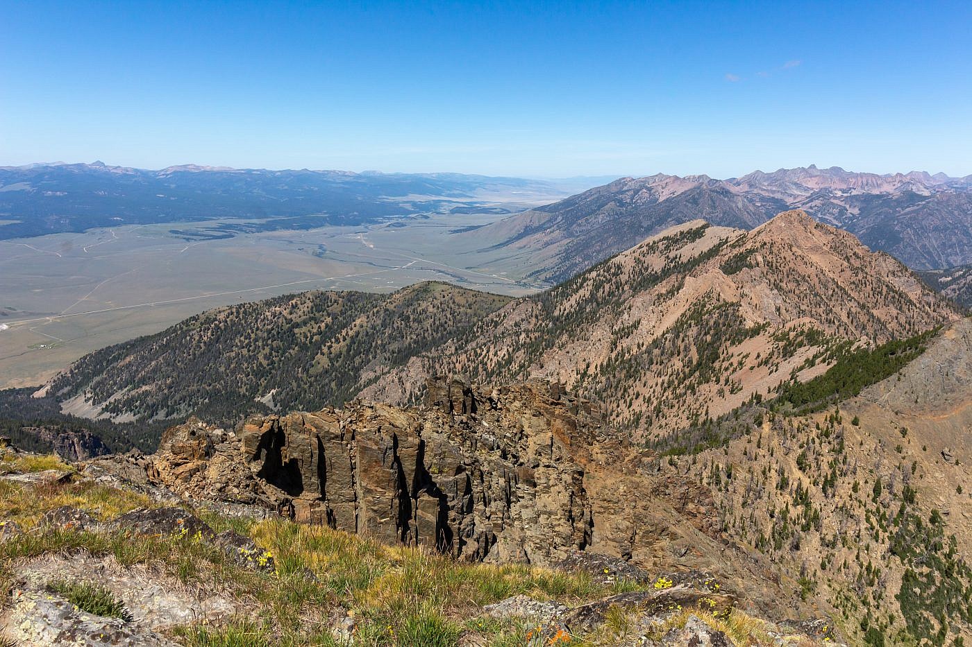
Looking south from the summit. This terrain looks super fun to explore and I believe the other routes approach from this direction. The Montana-Idaho border is less than a mile south of here. If you look very closely you can see the Tetons in the distance.
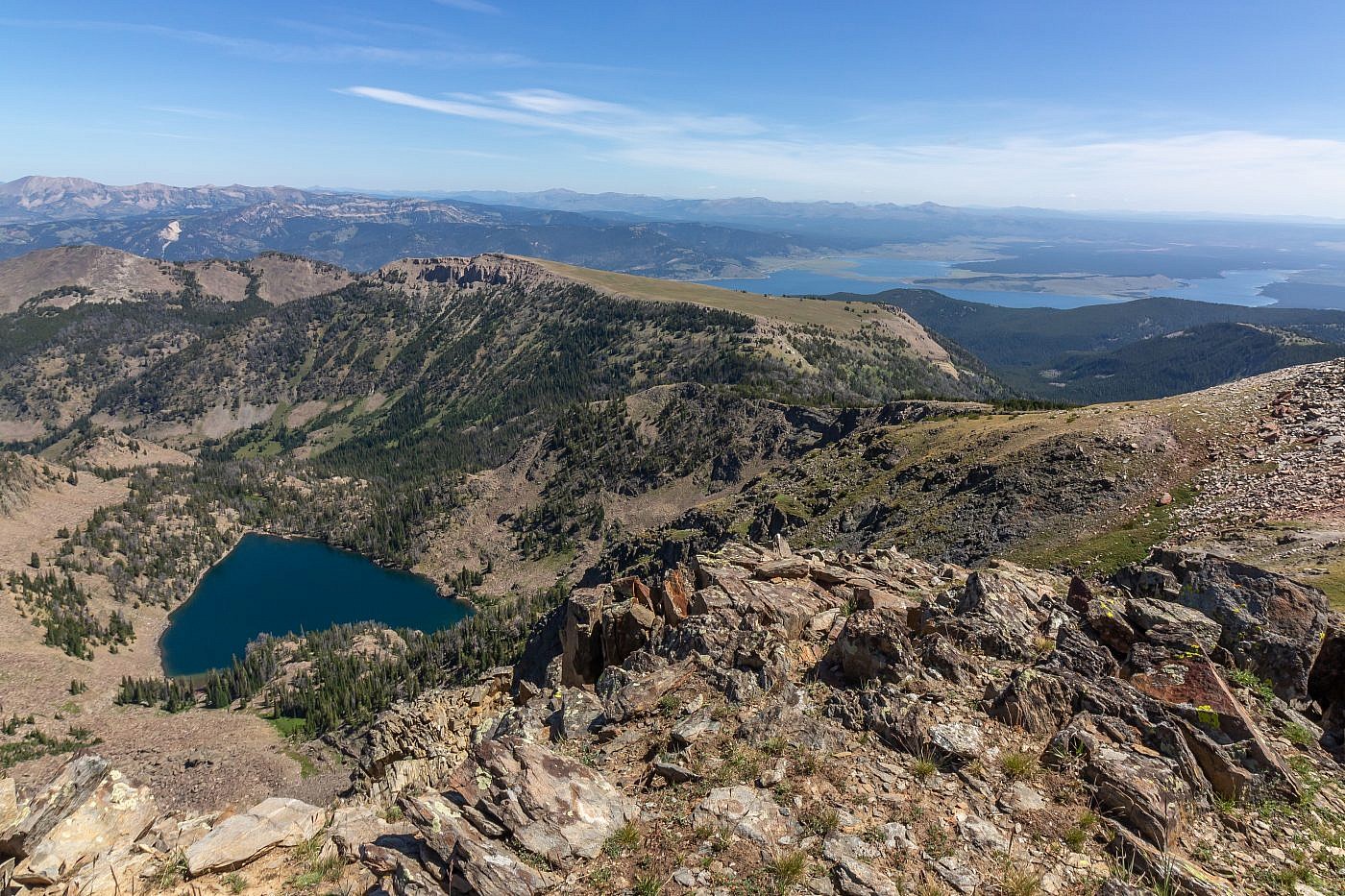
Looking east from the summit towards Hegben Lake. It turns out Sheep Lake looks like a giant heart from above. If you were to follow Cedron Jones’ route you’d follow the ridge around to Coffin Mountain and descend its north ridge back to the trail.
