Gallatin Range
North Dry Creek
Download KML
Distance
6.75 miles one way
Type
Day hike
Difficulty
Moderate
- Starting Elevation: 6000 ft.
- Ending Elevation: 9000 ft.
- Elevation Gain: 3000 ft.
 View all 39 photos
- Experience Date: Aug 15, 2015
- Hike Time: 6-7 hrs.
- Drive Time: 1 hr.
- Road Condition: Dirt Road. 2 WD accessible.
- Parking: Large lot. Completely empty.
- Fees: None posted.
- Campsite Availability: Plenty of flat, open areas to pitch a tent.
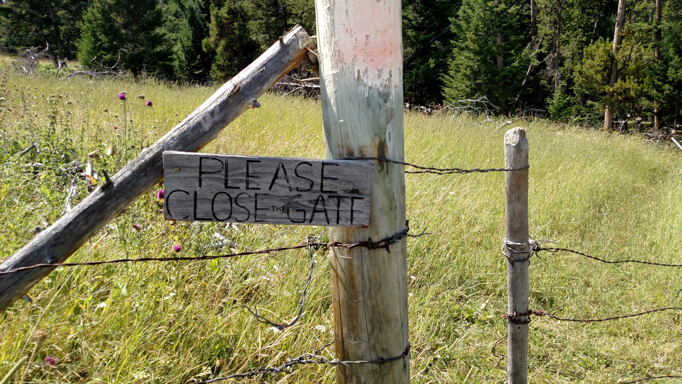
- Private Property: The trail leads through some private property. Please be respectful and close the gates behind you.
- Trail Features: 2001 Fridley Fire burn zone. Beautiful meadows with wildflowers.
- Trail Traffic: None
- Trail Condition: Well defined and maintained.
- Fire Restrictions: None posted.
- Stream Crossings: None
- Water Sources: Maybe in Spring or early Summer but North Dry Creek was indeed dry in August.
- Snow: None
- Winter Access: Unknown
- Weather: Mid to upper 70's. Partly sunny. Forest fire smoke rolled in over the course of the day.
- Bugs: None
- Wildlife Sighted: None

The North Dry Creek Trail (Trail 132) roughly follows Dry Creek through the northeast Gallatins and provides a scenic, crowd-free experience just a short distance from Bozeman. After an initial climb into the Gallatin foothills the trail winds through golden meadows ripe with wildflowers before entering the burn zone of the 2001 Fridley Fire, which is clearly on the road to recovery. A 9000′ unnamed mountain (I call Flathead Mountain) about seven miles in makes for a great destination but as there’s no termination point for this trail feel free to customize it to your liking and ability. The views, especially of Paradise Valley and the Absarokas, are exceptional due to the openness of this hike. Be sure to bring a hat and sunscreen on a sunny day to combat the heat since there’s very little shade along the way.
North Dry Creek.
Background
After many months of exploring the wilds I felt like I had a pretty good grip on what the Bozeman area had to offer in terms of nearby hiking spots. But the northeastern end of the Gallatins still remained a complete mystery. In fact, it wasn’t until Arlo proposed the idea of West Pine that I even considered the area which, on paper, didn’t look all that exciting. A closer look at the map revealed an intriguing network of trails strung out through the area and we became fixated on a 9000′ unnamed high point which I shall call Flathead Mountain.
Flathead Mountain can be accessed from West Pine or North Dry Creek. Having no familiarity with the area we chose the latter, only because it appeared shorter on the map. The trail lies in the Hyalite Porcupine Buffalo Horn Wilderness Study Area, set aside by Congress in 1977, and follows North Dry Creek, an intermittent stream which (sometimes) flows down the east side of the Gallatins into Paradise Valley.
Getting Started
Our quest began with a puff of smoke, literally. Smoke from a distant forest fire had rolled in over the night, veiling the Gallatin Valley in an eerie haze. This was the first time a natural disaster had interfered with our activities and for a moment I pondered over the potential dangers it might bring. I was determined, however, to squeeze in one last hike hike before heading home to visit family the next day so we said screw it and got ready slay our next mountain.
There are two straightforward routes to the trailhead. You can take I-90 to Livingston and head south into Paradise Valley or take Trail Creek Road which is more scenic and actually a hair quicker. At the time we had never been down Trail Creek Road so we opted for the interstate. Either way you end up on a rugged, but still 2 WD accessible, dirt road that eventually leads to the parking lot.
The Adventure Begins…
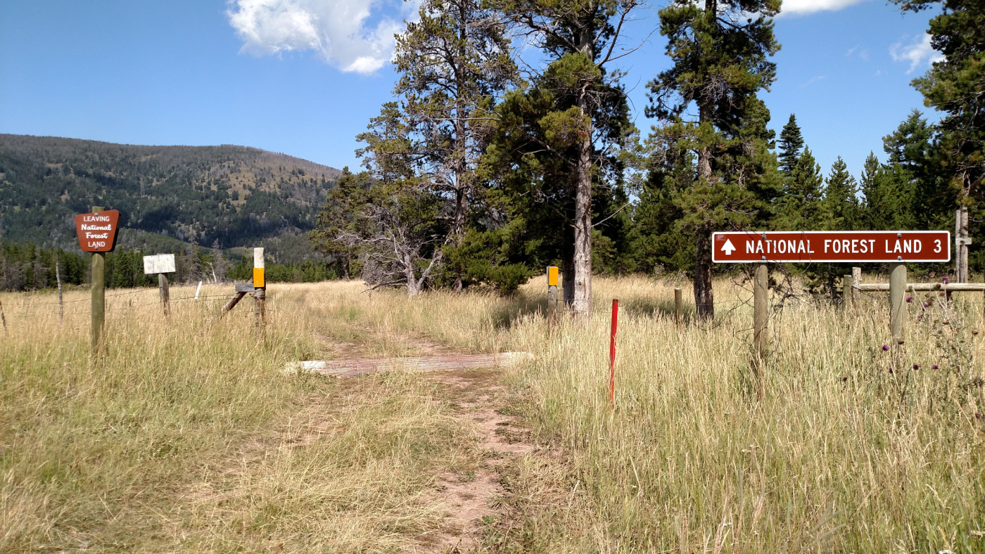
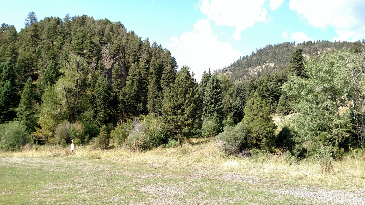
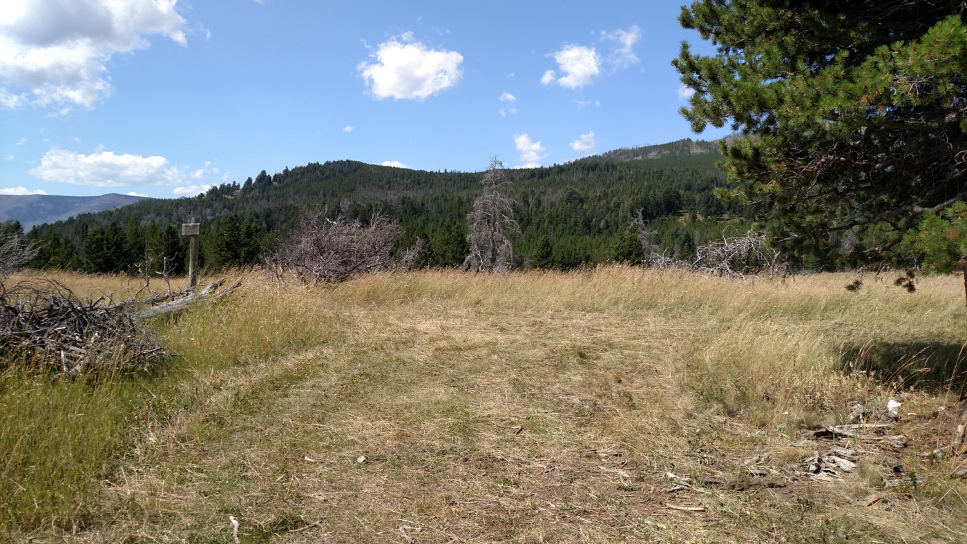
Our first challenge was to find the actual trail which clearly was not well indicated. It was obvious what direction it had to go and with a bit of searching we found it just south of the lot. Having much distance to cover we quickly geared up and hit the trail which switchbacks up a nearby ridge gaining about 1400 ft. over the first 2.5 miles. For those wanting to shorten the hike by a couple miles there’s a primitive-looking 4 WD trail leading from the parking lot to a secondary trailhead at the intersection of Trail 132 and Trail 135 (about 2.5 miles in).
Note: The Beartooth Publishing map I have shows the trail starting even further south and avoiding the ridge entirely. After some research I discovered that the trail was rerouted in 2015 which explains the inconsistencies. I’m not sure about the current status of the old trail but the new one is definitely a bit longer because of the switchbacks. See this link for more information.
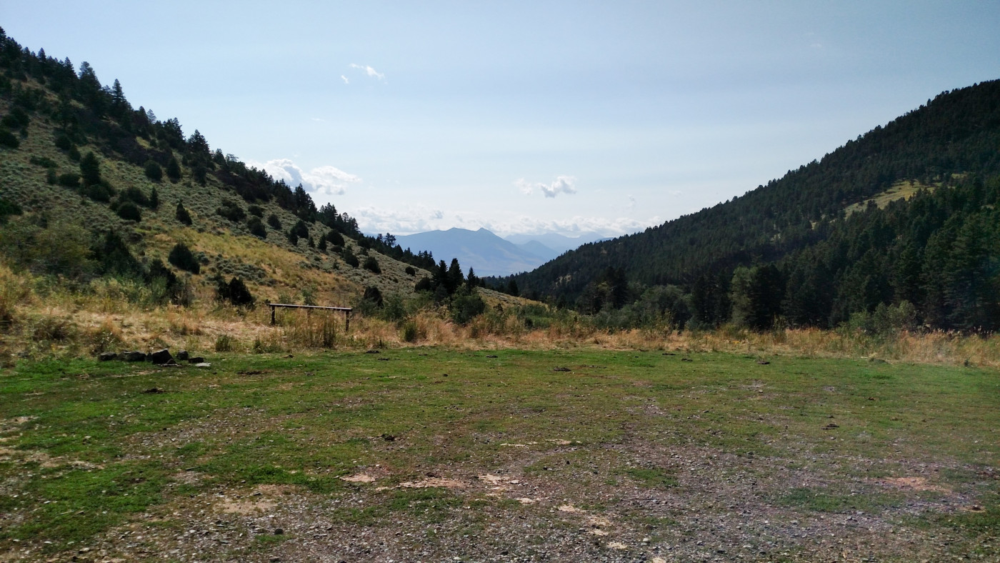
View of the trailhead from the parking lot.
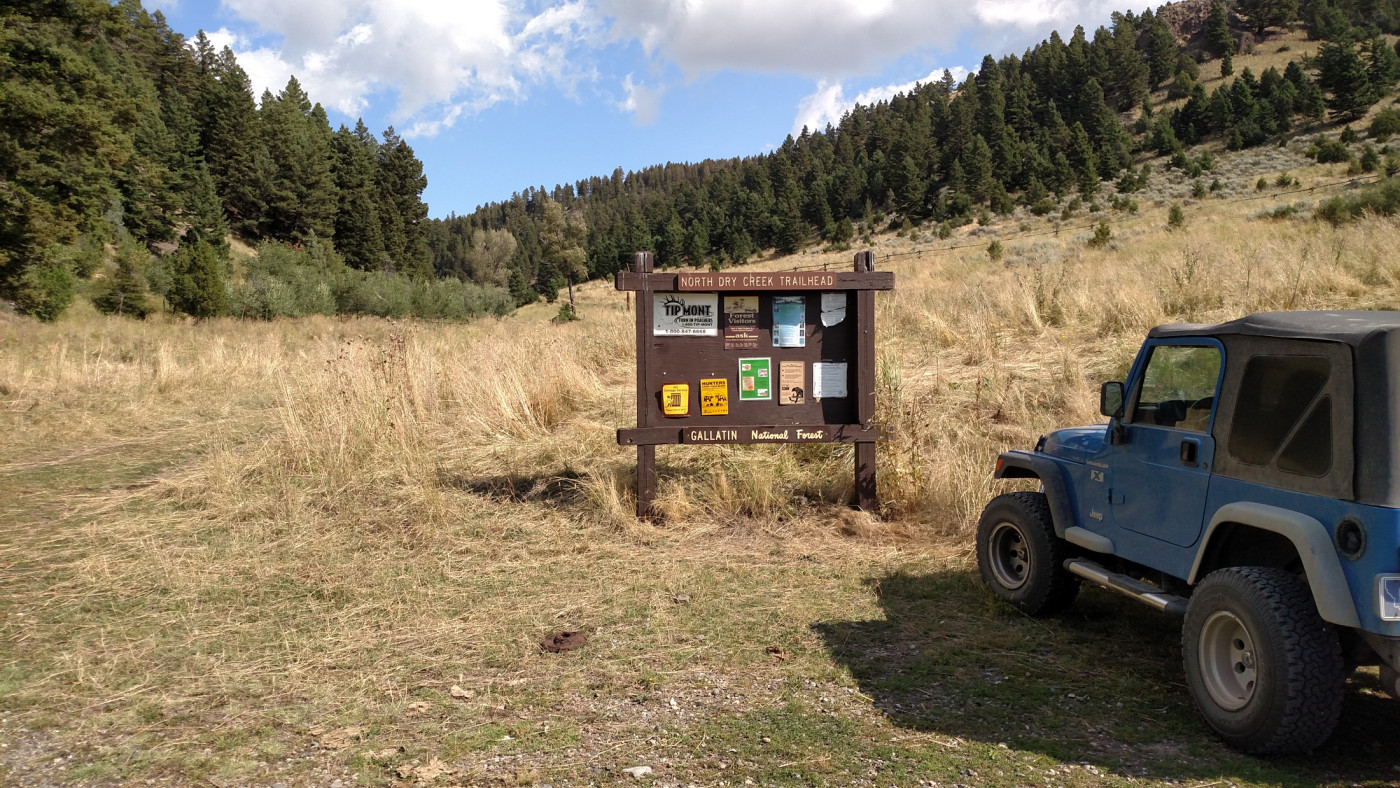
The road to the left of the sign leads to a secondary trailhead about 2.5 miles in. Looks like it probably doesn’t get much use and requires a high clearance vehicle.
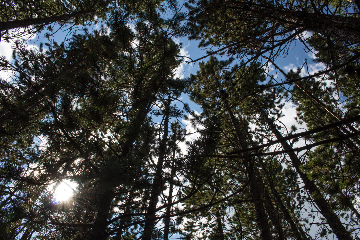
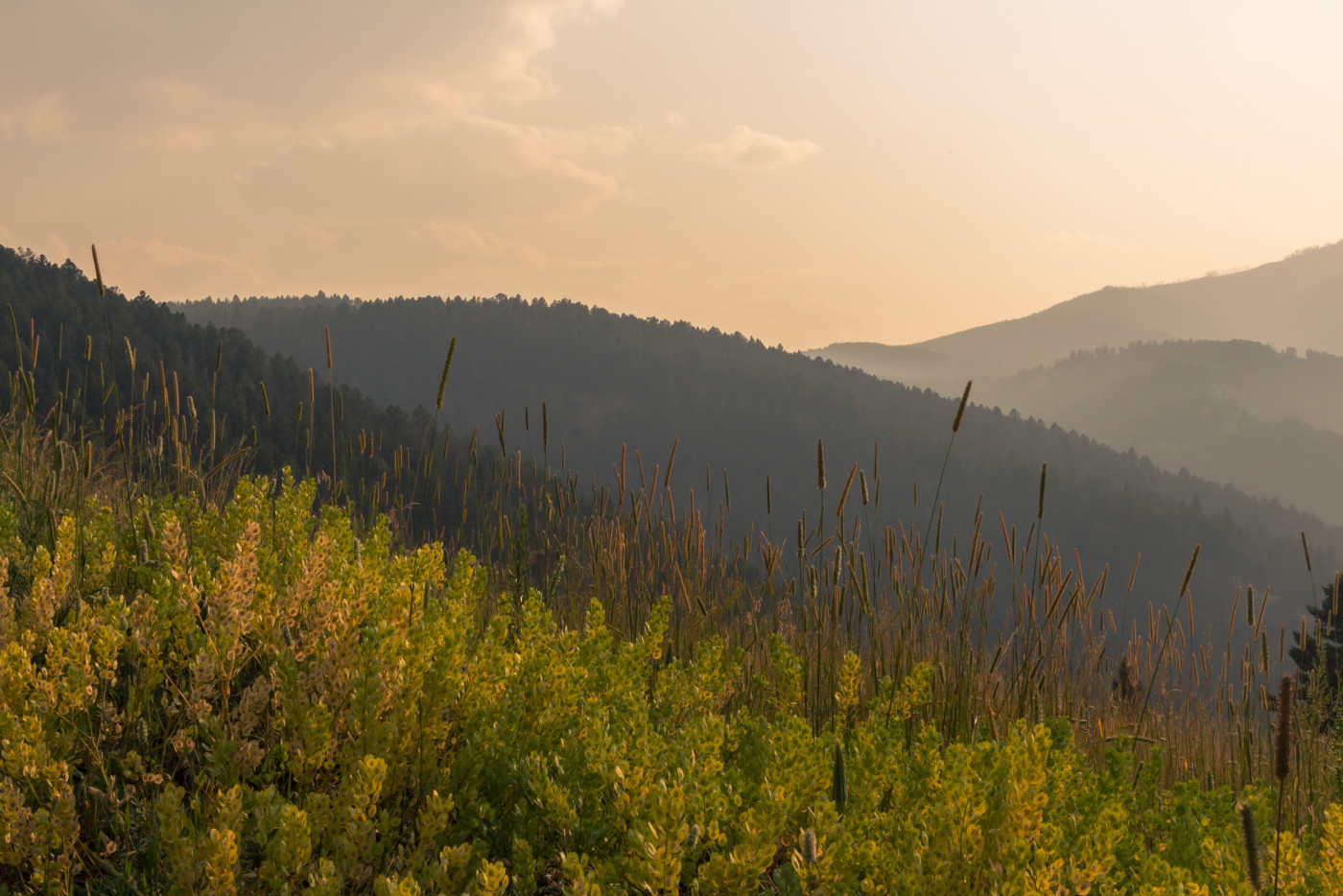
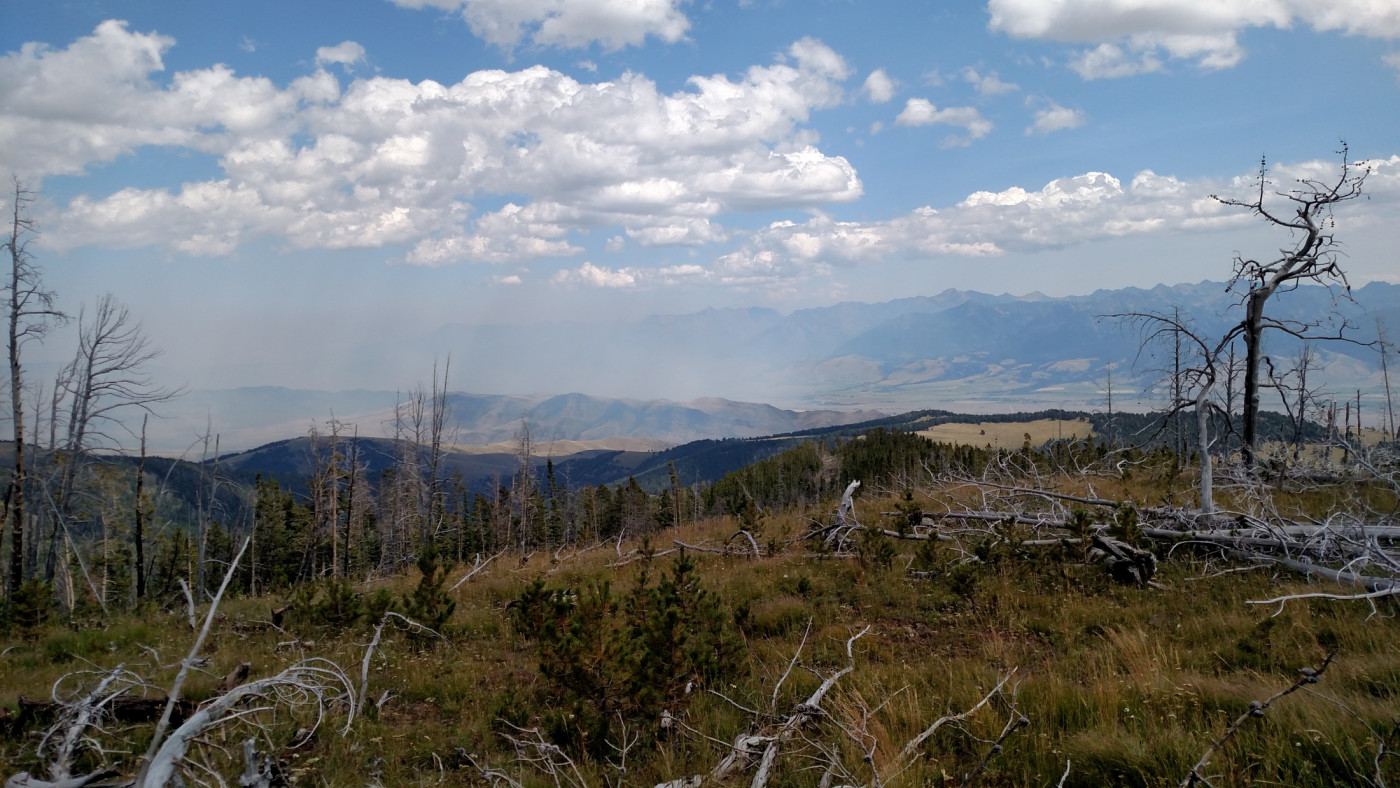
Although the temperature was pleasant, the sun was beastly hot and almost impossible to escape since there’s very little tree cover in the foothills. The views of Paradise Valley and the Absarokas were enough to keep my mind off the heat but we were still thankful for any bit of shade that could be found.
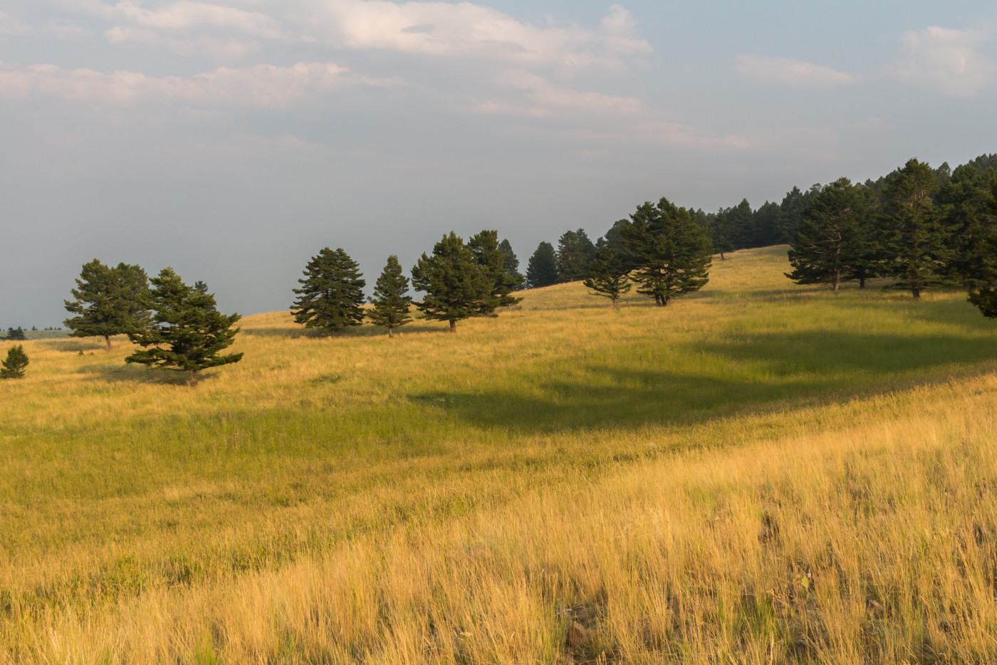
At the top of the ridge the trail leads through gorgeous sub-alpine meadows which harbor a variety of wildflowers. It was around this point that we noticed smoke making it’s way through Bozeman Pass and into Paradise Valley, but we shrugged it off and kept to the plan.
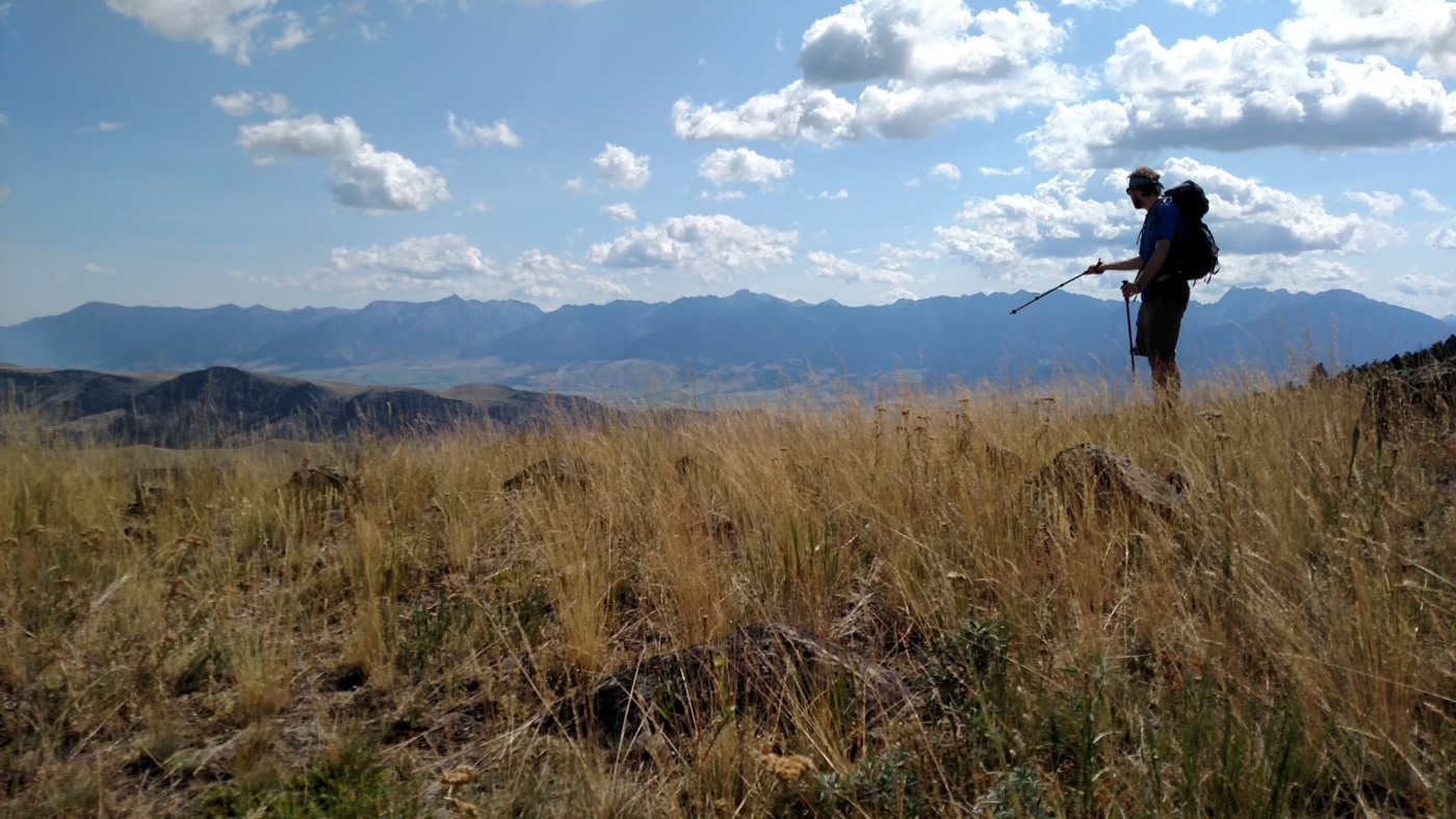
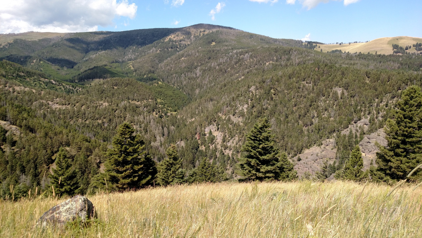
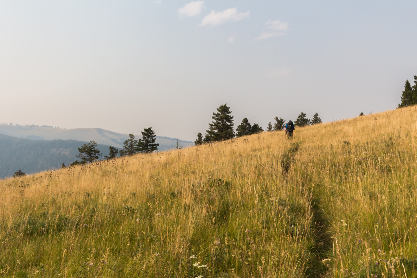
Working our way up the ridge. Awesome view of the Absarokas.
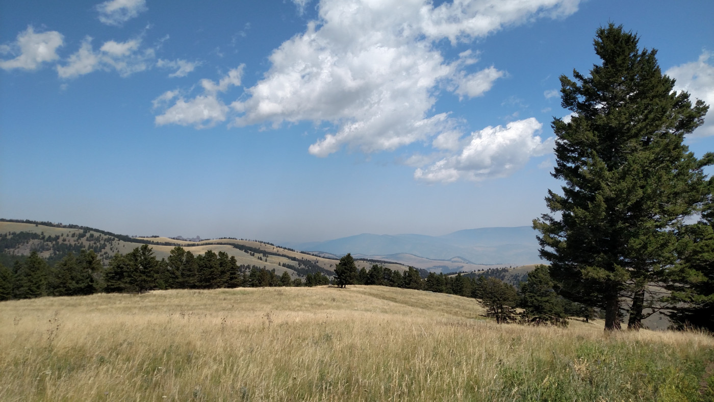
Looking north towards West Pine. First signs of smoke.
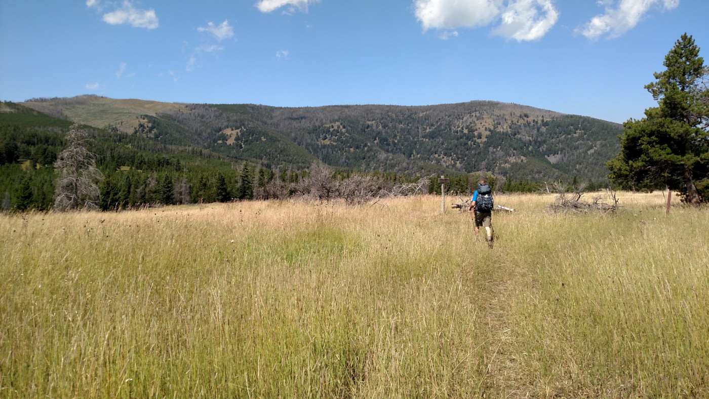
After an additional half mile of flat we arrived at the intersection Trail 132 and Trail 135. Our destination lay along Trail 135, which continues west, but Trail 132, which heads south to Eightmile Creek, would make for another excellent day hike. This is also the location of the second trailhead I mentioned earlier.
Parking lot at the start of Trail 135.
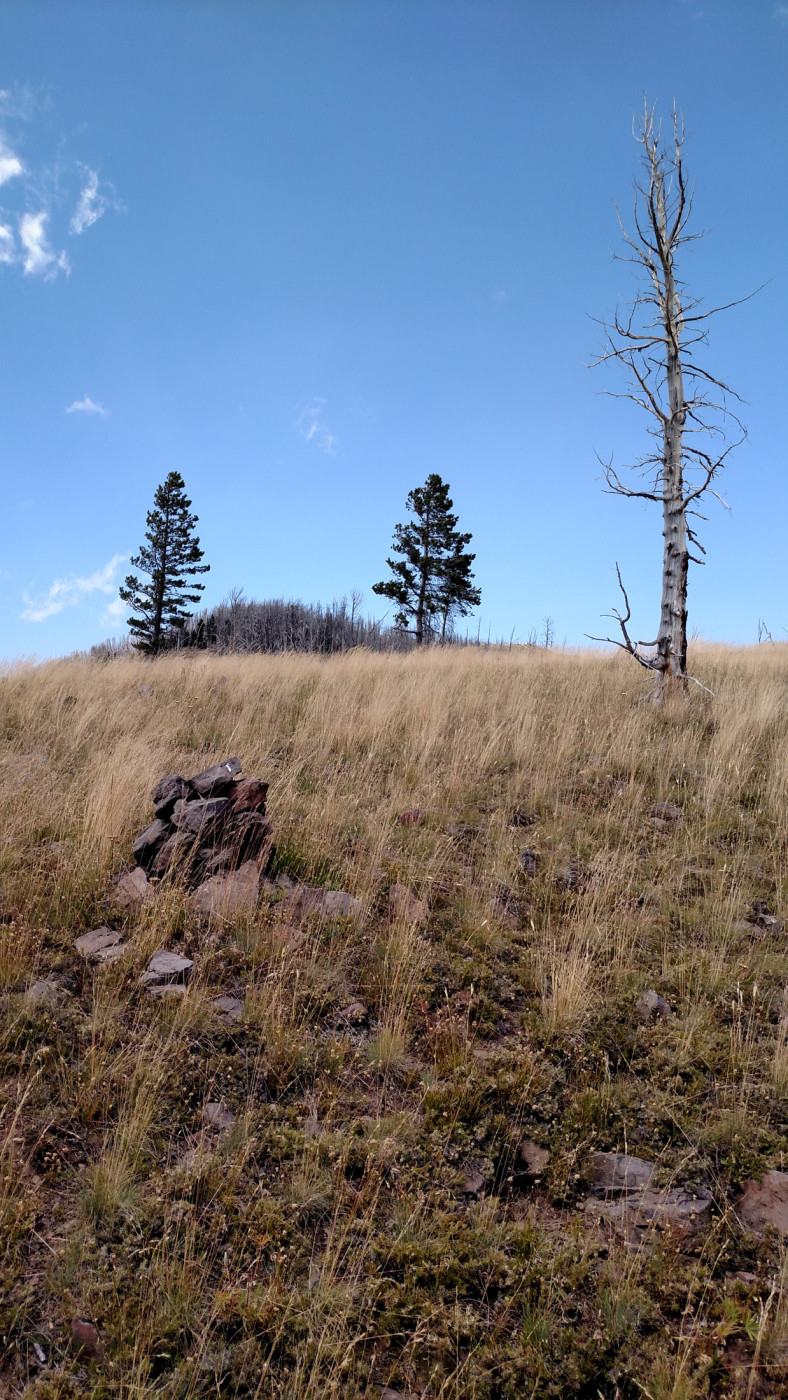
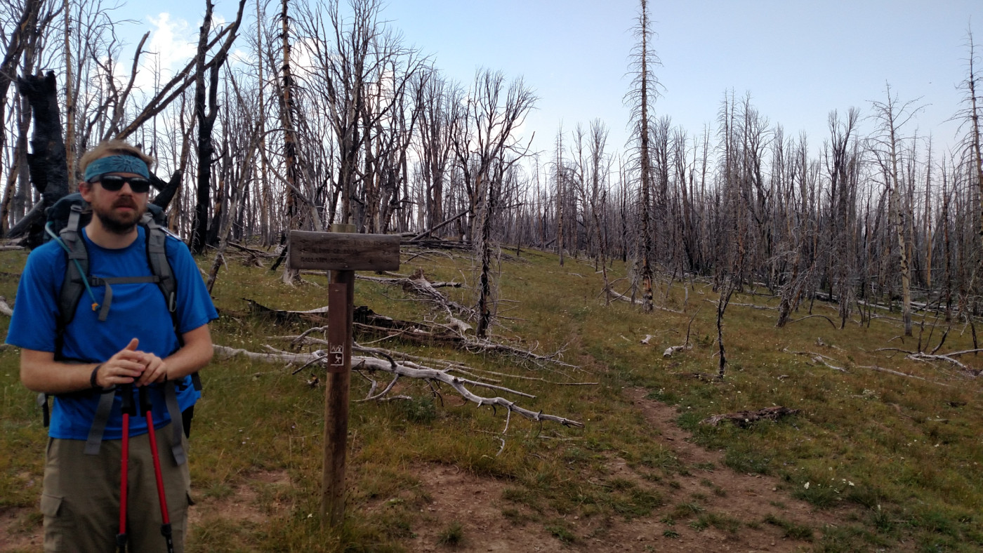
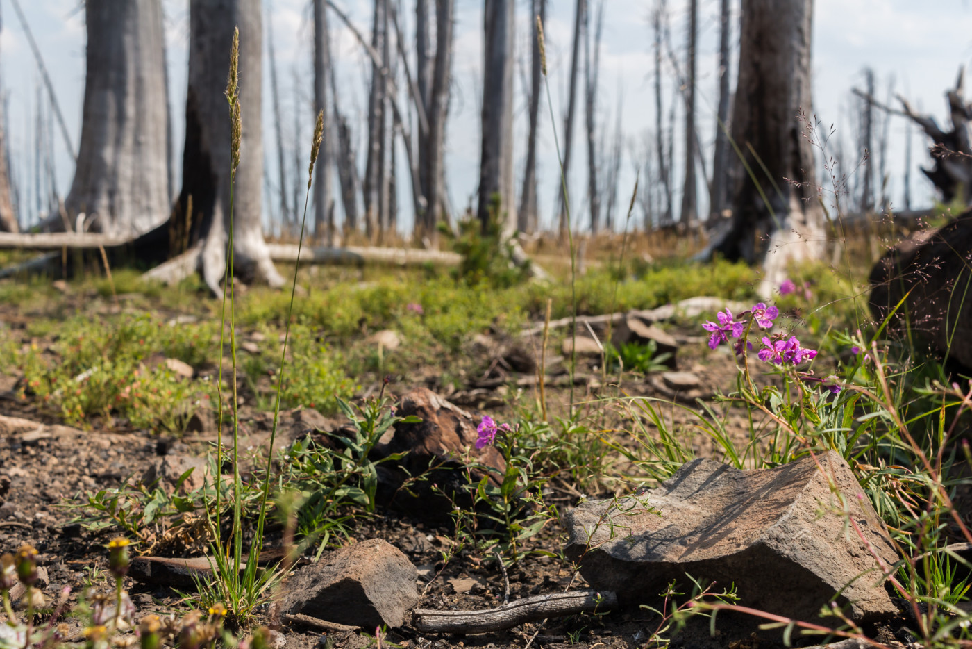
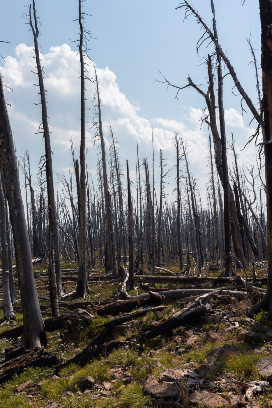
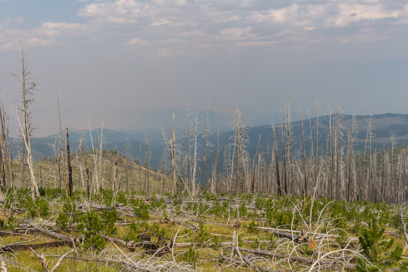
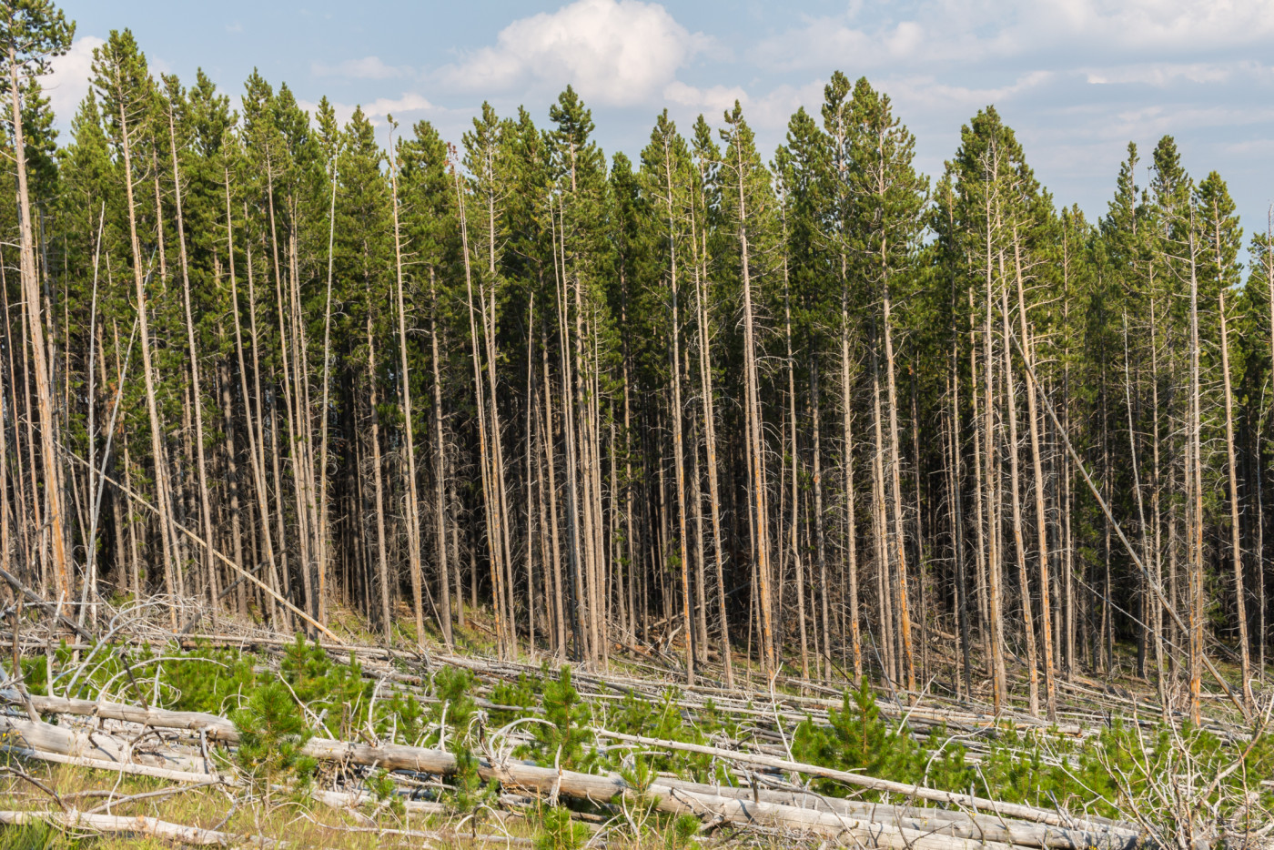
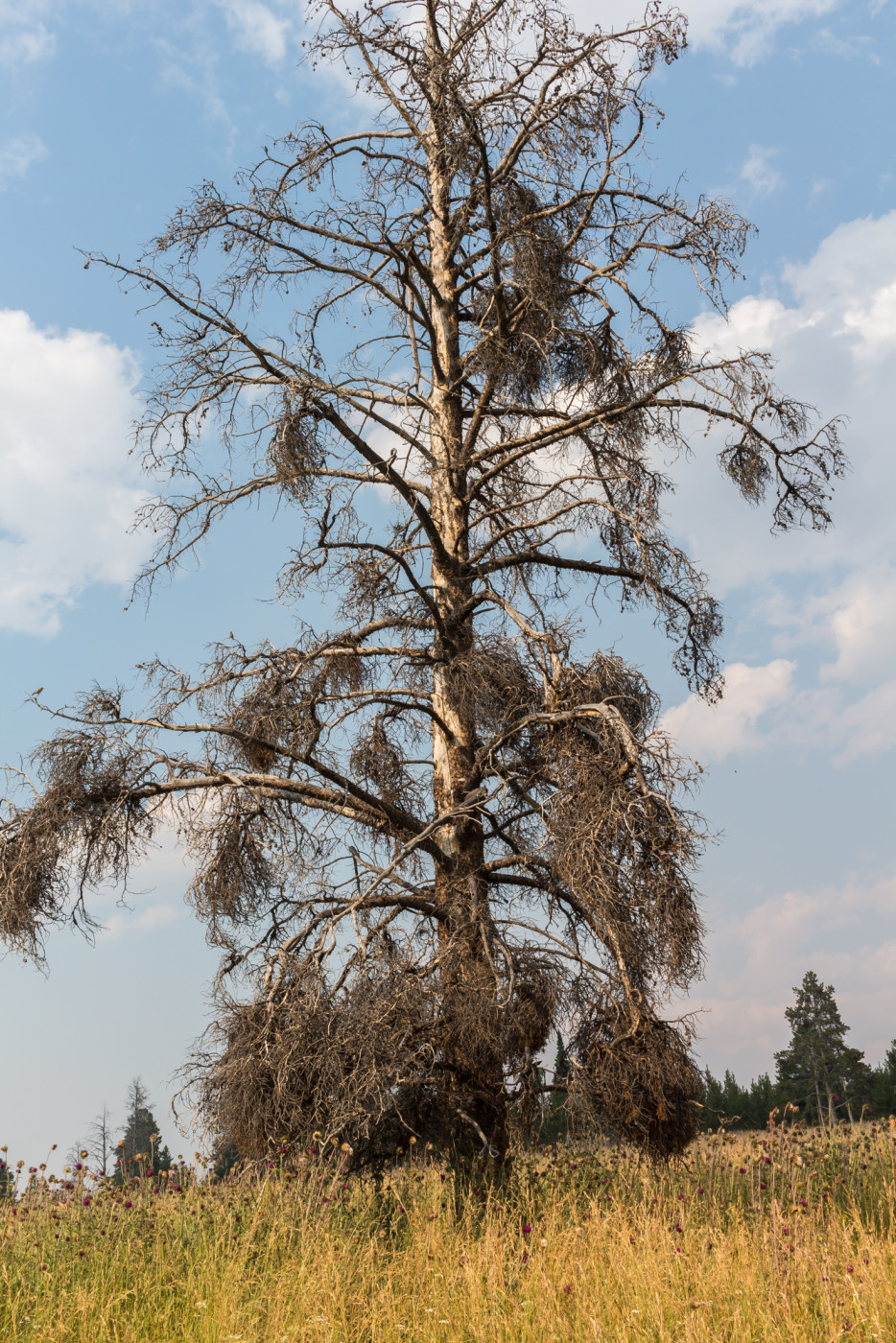
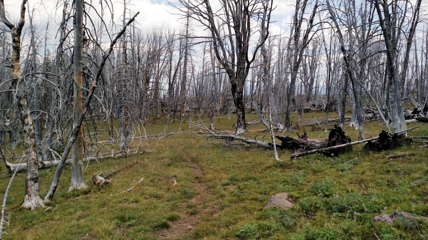
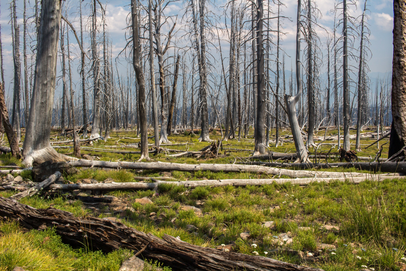
The remaining four miles of the hike are quite different then the first three. The trail starts to climb again and weaves through the burn zone of the Fridley fire which ravaged the land in 2001. Here you can observe the ecological succession of the environment 14 years after the fire. Many dead trees still remain rooted in the earth, bare and skeletal, but saplings are popping up everywhere signaling the beginning of a new era. It was wondrous to wander through an area scarred with death but at the same time teaming with new life.
It’s getting closer…
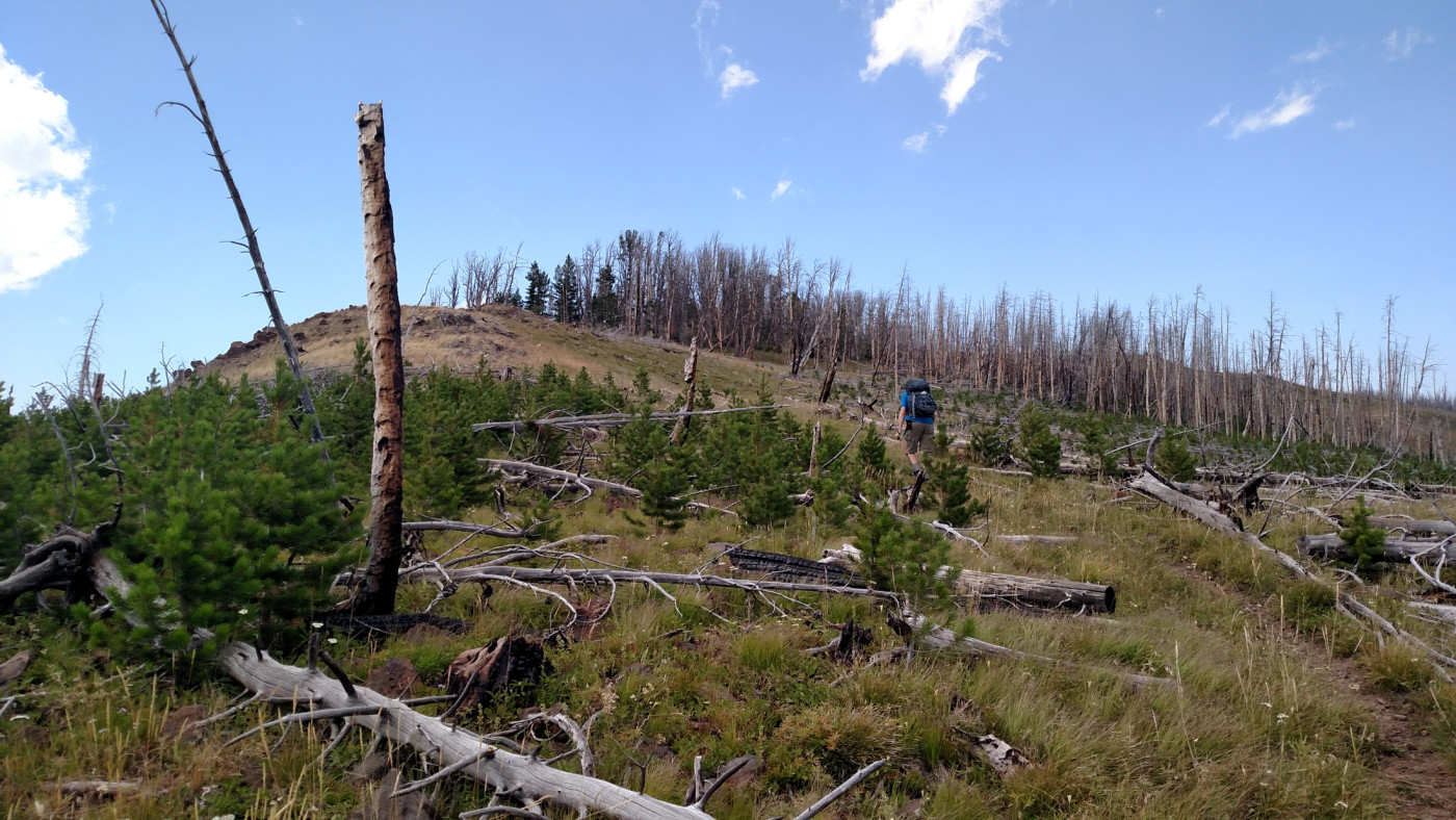
Climbing through the 2001 Fridley Fire burn zone.
At about six miles in the trail merges with the West Pine Trail to form the North Dry Divide Trail. This signified the final stretch of the hike. I could see, smell, and taste the smoke around us but the summit was close and we’d come too far to give up now so we charged onward up the final climb towards our goal.
West Pine Trail. The trailhead is just north of the North Dry Creek trailhead.
The “Summit”
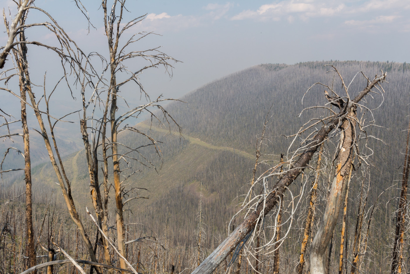
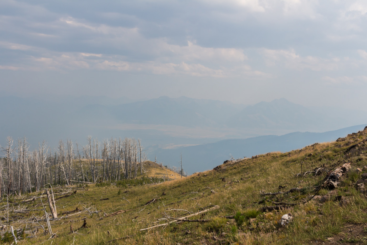
The summit, if you can even call it that, is a broad hump, almost indistinguishable from the surrounding hills. Dead trees riddle the land which, combined with the smoke, blocked out views of the Gallatins. Paradise Valley was now overflowing with smoke and the peaks of the Absarokas were barely visible.
Looking east towards Paradise Valley from the “summit”.
There’s no cairn to mark the official summit so we wandered to a rock that looked like the highest point and settled in for a quick lunch, making sure to keep a close eye on the smoke situation.
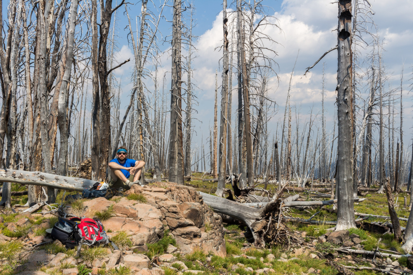
The lunch spot.
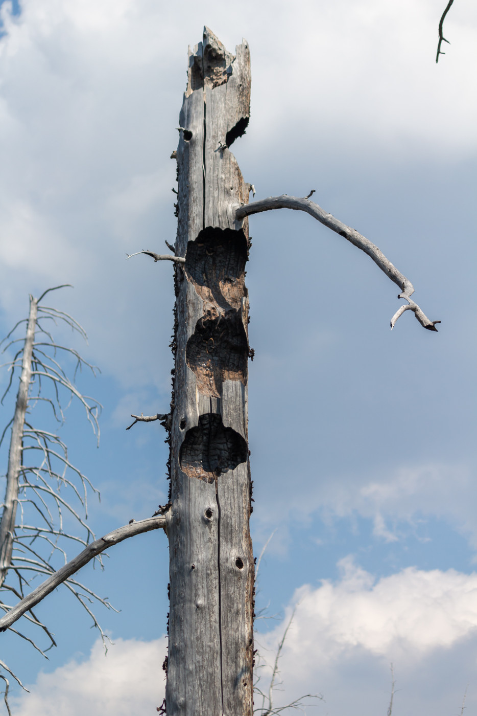
Curious gashes in some of the trees near the summit. Not sure how they formed.
The Return
After gobbling down lunch and snapping a few pictures of the desolation we hastily made it down the mountain in order to avoid the worst of the smoke which had now almost completely engulfed the area.
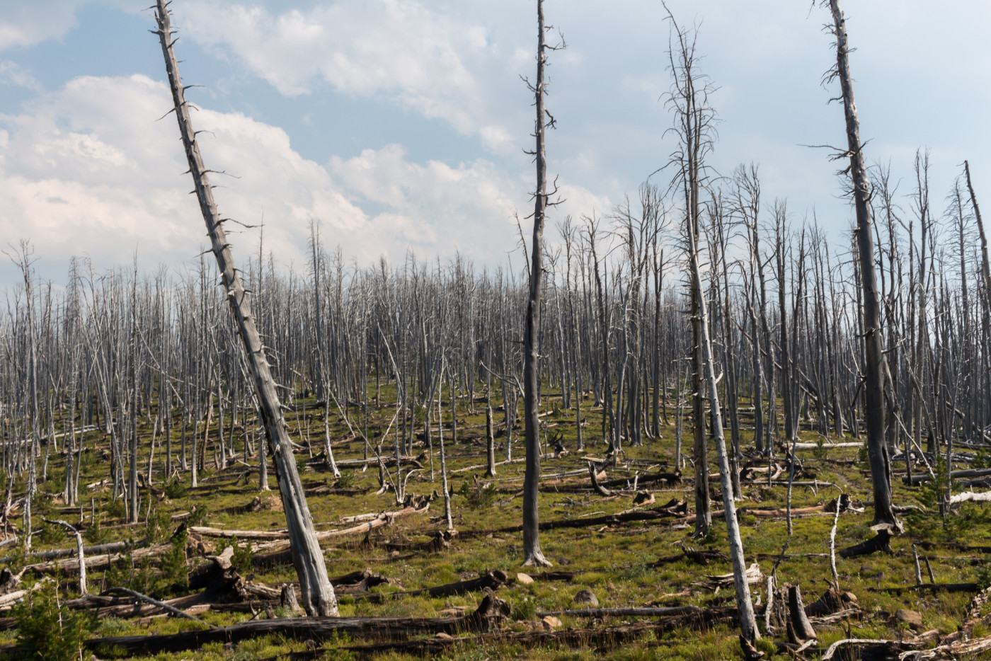
Dead trees for miles and miles.
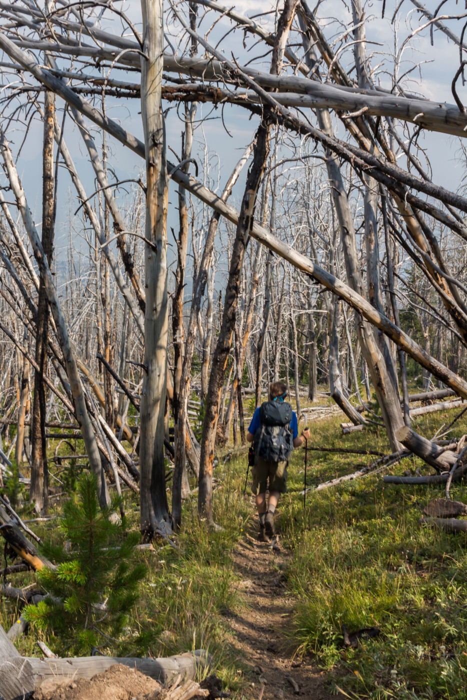
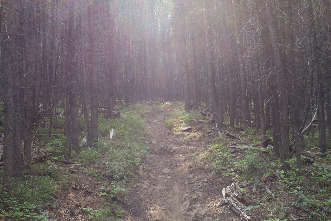
Walking through the desolation.
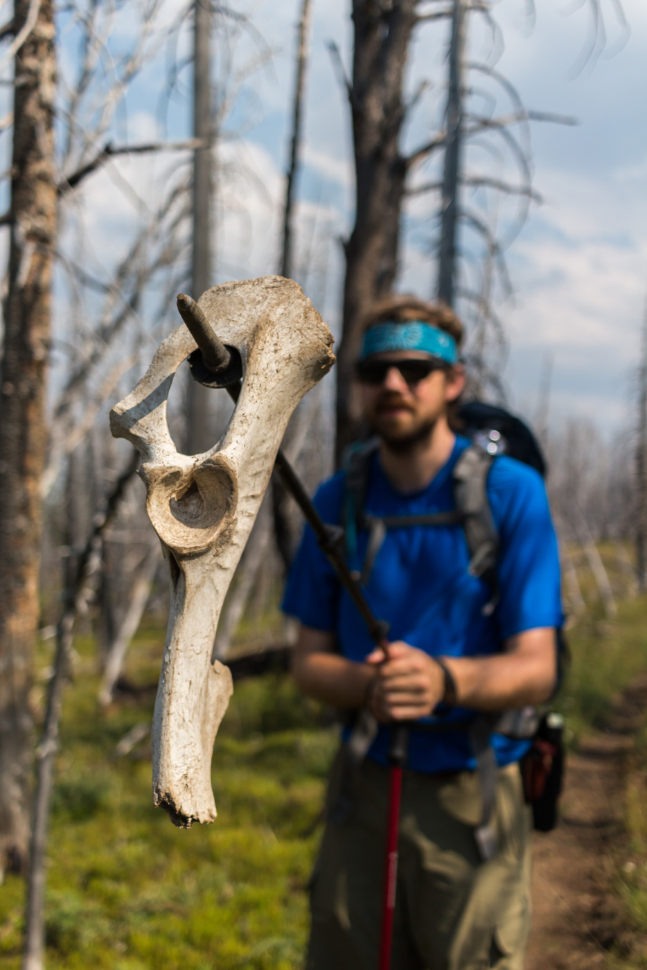
Found a bone at one point.
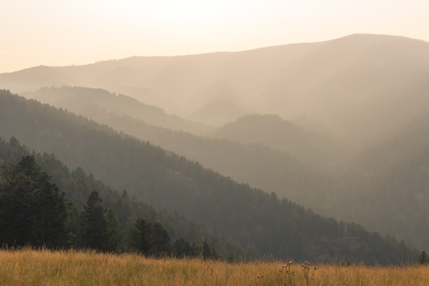
Hazy hills.
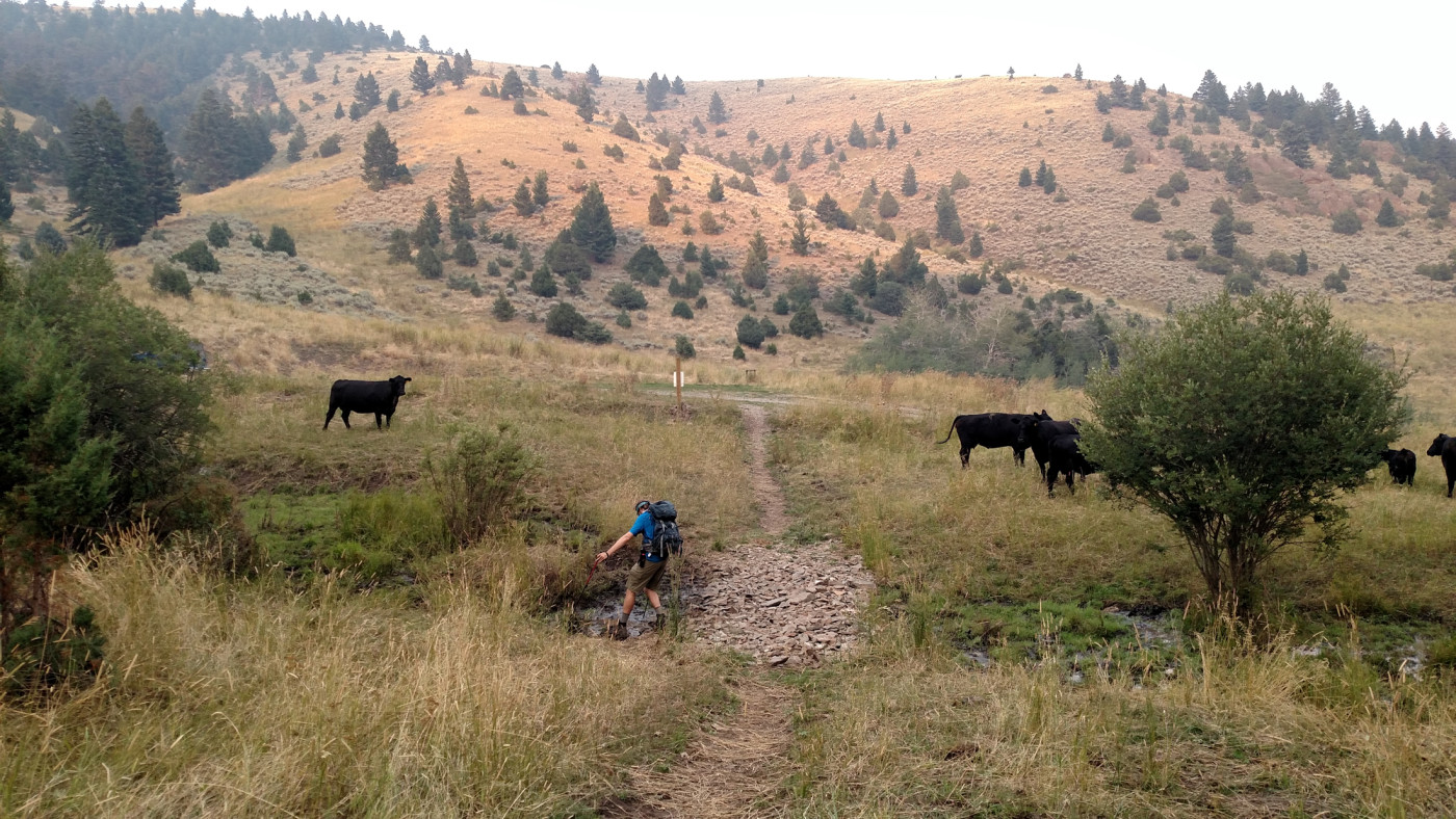
We were greeted by some friendly cows upon our return.
On the way home we chose to scope out Trail Creek Road for future reference and I’m glad we did. It turned out to be a perfectly viable route and would be fun to ride a bike down in the future. The scenery is great as well and the thick smoke turned the sun a brilliant orange adding a strange vibe to the landscape.
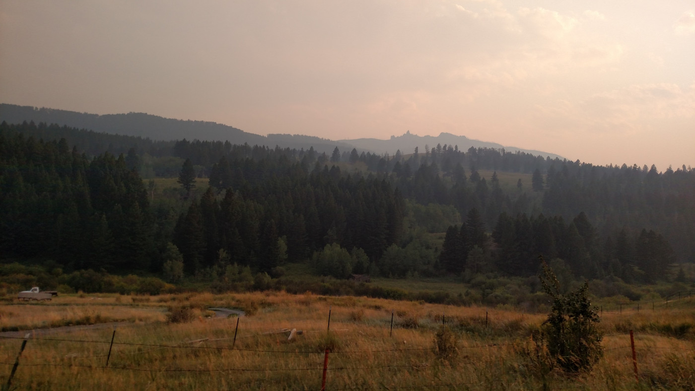
Chimney Rock amidst the smoke.
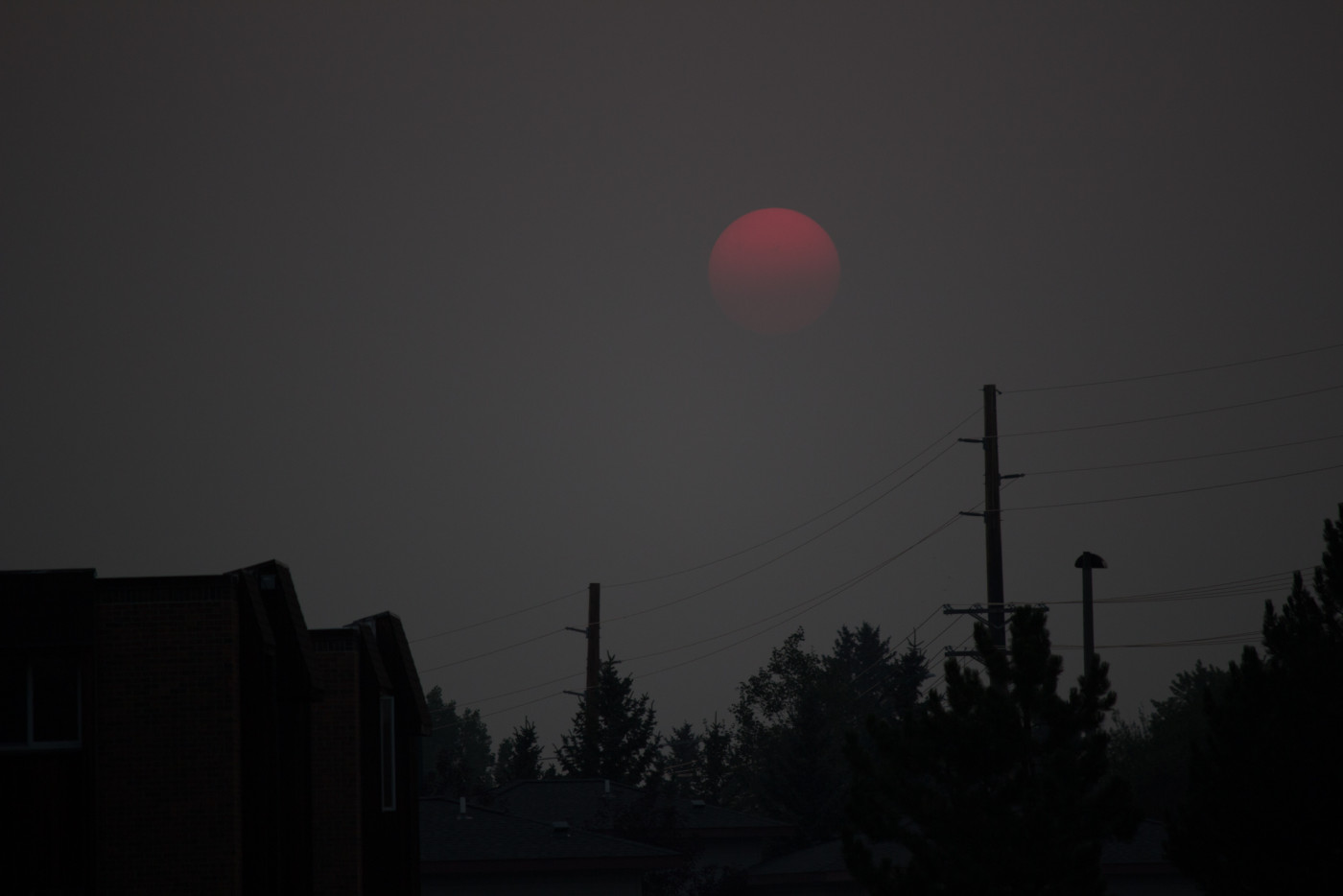
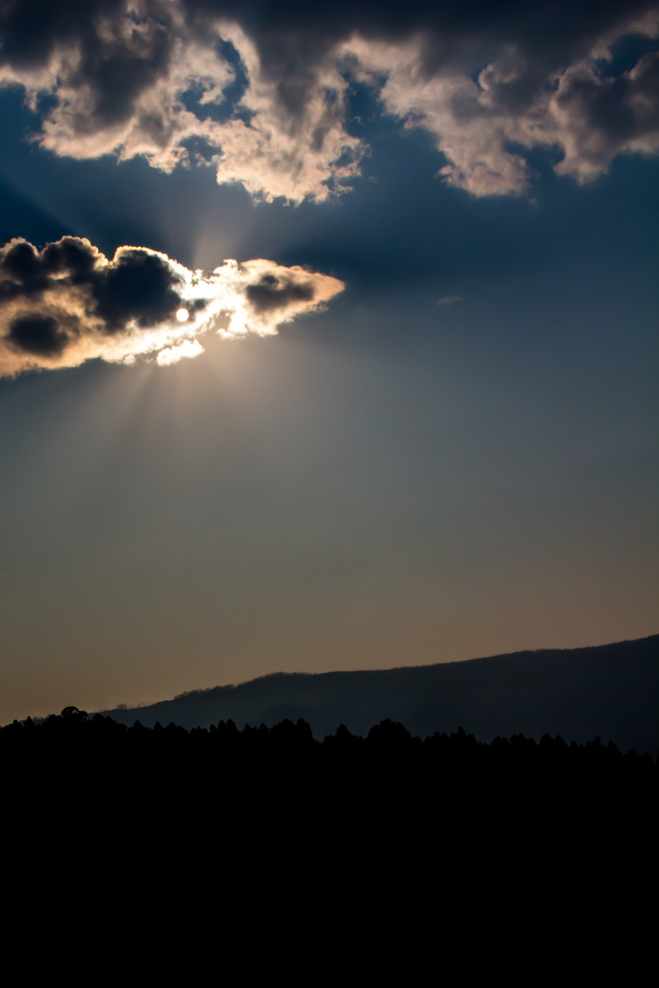
Back in Bozeman to see a spooky sunset.
Afterthoughts
Luckily for us the particulate concentration never reached dangerous levels although I do remember feeling a slight stinging sensation in my throat probably from the long exposure time. Make sure to proceed with caution any time you encounter smoke in the woods. Weather is unpredictable and it’s easy to get stuck in a potentially dangerous situation if you’re not careful. After this experience I will certainly reconsider hiking through even the slightest bit of smoke.
