Bridger Mountains
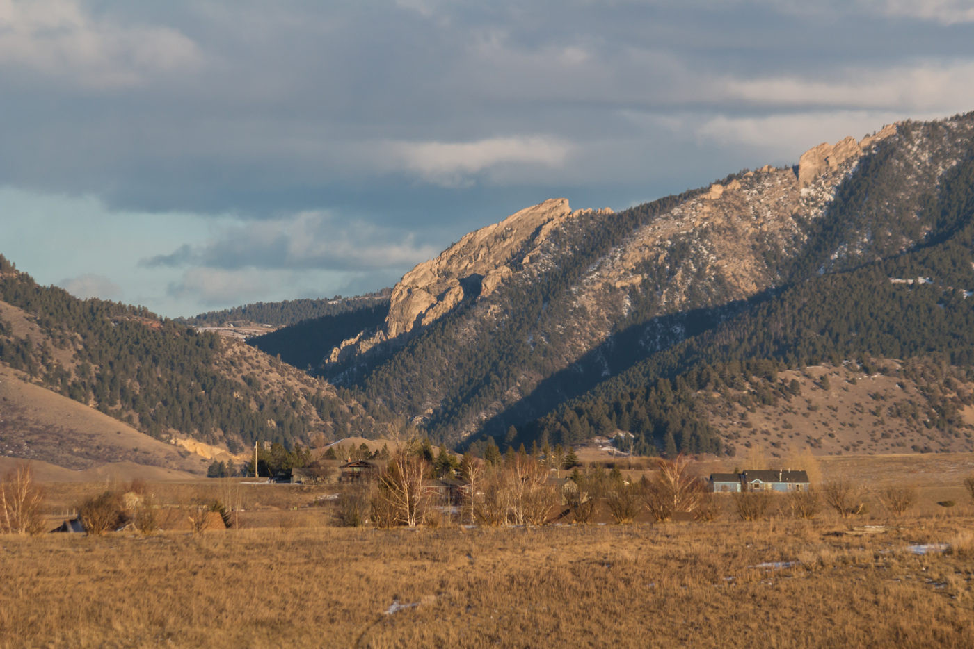
Frog Rock
Download KML
Distance
2.4 miles one way
Type
Day hike
Difficulty
Easy
- Starting Elevation: 5200 ft.
- Ending Elevation: 5800 ft.
- Elevation Gain: 600 ft.
 View all 12 photos
- Experience Date: Jul 2, 2015
- Hike Time: 2-3 hrs.
- Drive Time: 15 min.
- Road Condition: Interstate all the way.
- Parking: Small lot that probably fills up on busy days. Extra parking on road.
- Fees: None posted.
- Campsite Availability: None
- Private Property: None
- Trail Features: Climbing access.
- Trail Traffic: Light
- Trail Condition: Well defined and maintained. Make sure to take the poorly marked spur trail that says "Climbing Access".
- Fire Restrictions: None posted.
- Stream Crossings: None
- Water Sources: Few creeks.
- Snow: None
- Winter Access: Yes. Skis or snowshoes recommended.
- Weather: Mostly sunny. 80's. Comfortable.
- Bugs: None
- Wildlife Sighted: None
- Side Quests: Gulch just east of Frog Rock.

Just to the east of Bozeman, perched on the northern edge of Chestnut Mountain and acting as the guardian of Bozeman Pass, is Frog Rock. Although this massive limestone rock formation mainly attracts climbers a short and simple spur trail that branches off the Chestnut Mountain trail leads to a neat overlook near the butt of the frog providing unique views of the pass and Gallatin Valley. The trail climbs only 500′ over 2.3 miles making it accessible to even the most novice of hikers. Technical climbing skills are required to make it beyond the overlook but the top of the frog may be accessible by following the Chestnut Mountain trail further and then backtracking along the ridge.
Frog Rock.
Background
One late night while grading some physics exams a colleague of mine started rambling on about some sort of frog-shaped rock near Bozeman that was supposedly an excellent hiking destination. At first I thought he was crazy; how could I have missed a rock in the shape of a creature that I grew up adoring? Little did I know, I had laid eyes on this rock many times, completely oblivious to the fact that it was a climbing and hiking hotspot for locals.
Several weeks later while cruising around the streets of Bozeman I happened to look east towards a giant chunk of rock at the edge of Bozeman Pass. After a few moments of imaginative assessment it dawned on me, this must be the Frog Rock! An ignorant bystander would never make the connection but it truly does look like a frog. Sure enough, my Beartooth Publishing map confirmed it, and I decided I had to make it there by the end of the summer.
Frog Rock is a limestone rock formation near Bozeman Pass that can be reached by a spur trail which branches off of the Chestnut Mountain Trail. Both trails opened to the public in 2010 as a result of many years of exhaustive trailbuilding and millions of dollars of federal money. In the past the rock mainly attracted climbers but with the addition of the new trail it has become a viable hiking spot just minutes outside of Bozeman. There’s a steady uphill section followed by some flat and then a sharp climb up to a rocky overlook near the base of the rock. Technical climbing gear is required to actually ascend the rock but it may be possible to get to the top by following the Chestnut Mountain Trail further and then backtracking along the ridge.
Getting Started
The drive to the trailhead is about as simple as it gets around here. Just take I-90 to the Trail Creek Road exit and you’re there. There’s a small parking lot right by the trailhead but if it’s full you can park somewhere alongside the road. We chose to hike in the evening so there weren’t many cars but I imagine it’d be quite busy on a weekend because of the easy access.
The Adventure Begins…
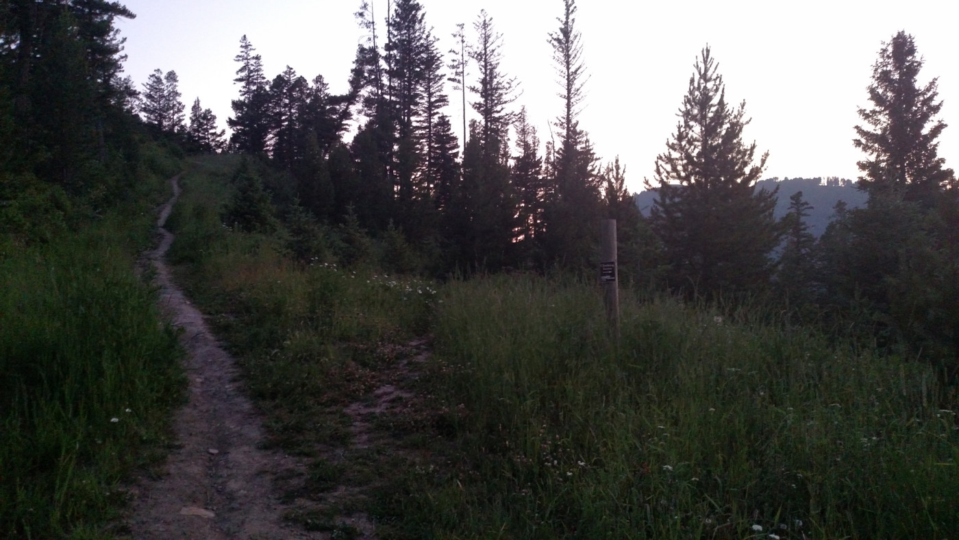
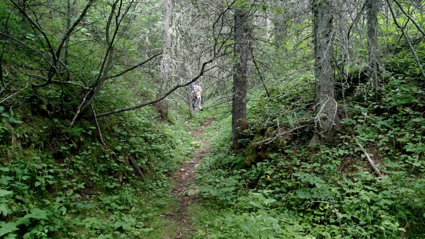
The trail starts out as a steady uphill climb along the Chestnut Mountain Trail. It’s in great shape and wide enough to support bikes. Nearly a mile in the spur trail leading to Frog Rock branches off to the right with a sign labeled “Climbing Access”. Since it was our first adventure in the area none of us knew exactly where to go and since none of the signs explicitly stated how to get to Frog Rock we continued along the Chestnut Mountain trail for an extra 0.5 mile before realizing our mistake.
The spur trail leading off to the right. It’s extremely poorly labeled.
The spur trail stays relatively flat as is wraps around the ridge and reveals astonishing views of Frog Rock; at this time of day it was just a silhouette against the bright sun. About 1.75 miles in an unofficial trail branches off leading up through a gulch adjacent to the rock which was intriguing enough to warrant a slight detour.
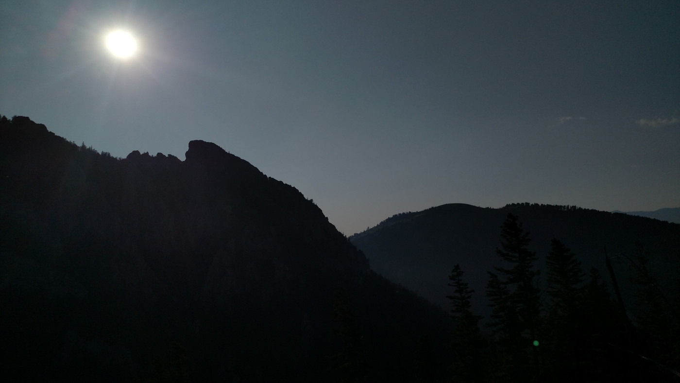
Frog Rock silhouette.
The trail leading into the gulch.
The gulch was unusually dank with thick foliage that made everything feel very close, almost claustrophobic, as if the tree branches wanted to reach out and inflict harm on anyone disturbing their peace, and the ground was covered in a cushy green moss that was thriving in the damp conditions. We tromped along for a ways but it wasn’t long before the brush got too thick and forced us to stop. It may be possible to follow the gulch all the way to the Chestnut Mountain trail but that would take some serious commitment.
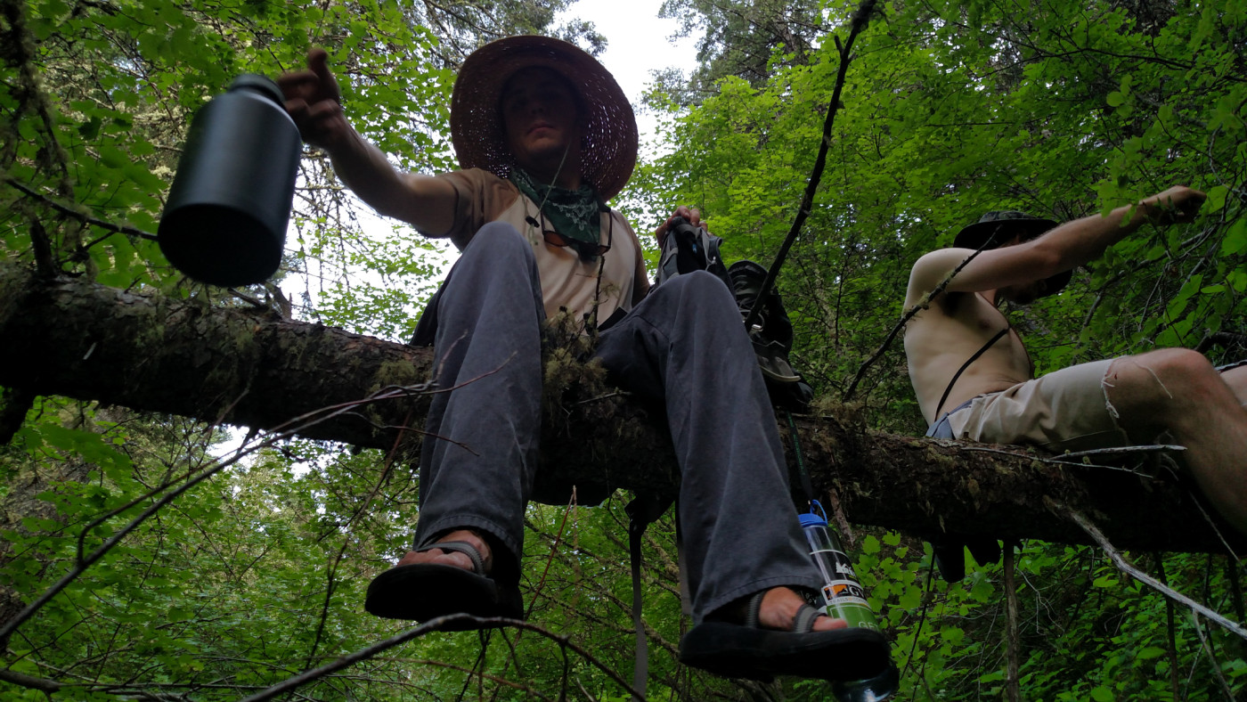
Chilling on a log in the gulch.
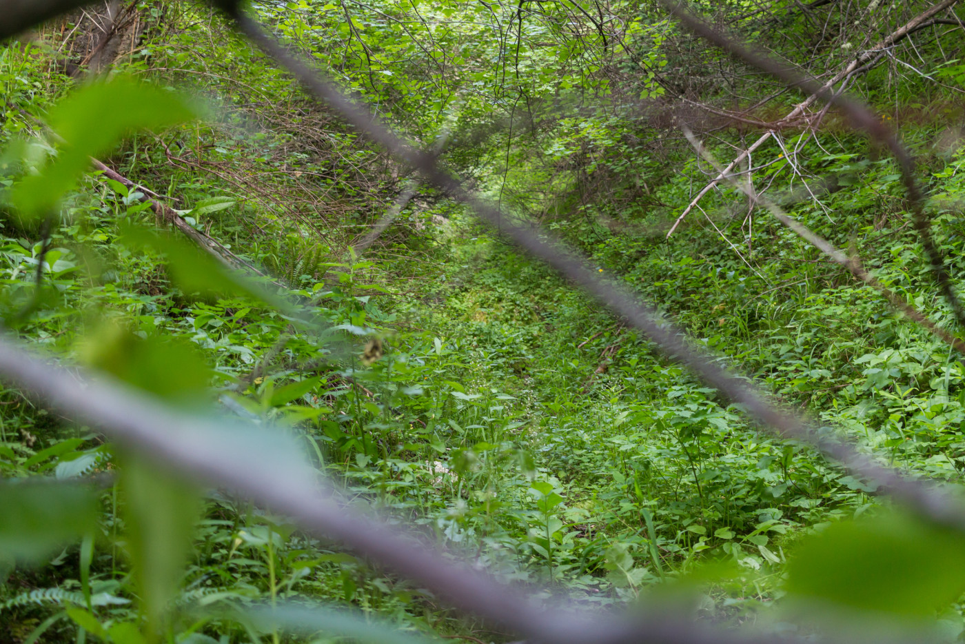
Looking deeper into the gulch.
After a short break we left the enchanted gulch and continued on along the main trail which gets increasingly rocky as you approach the base of Frog Rock. At one point there’s a small cliff that kids or the elderly might have trouble getting down. There’s plenty of holds though and it’s much easier to climb back up.
The trail continues passed some climbing spots and then begins to ascend sharply up to the overlook. The ground is rocky and steep and there might be a couple spots where you need your hands for balance but all in all it’s a fun little scramble and after passing a couple of small caves you’re at the overlook. I’d hoped we could get farther up the frog’s back but the climb was simply too treacherous and, unless you’re a professional, probably requires climbing gear. Nonetheless, the views of Bozeman Pass from the overlook are incredible.
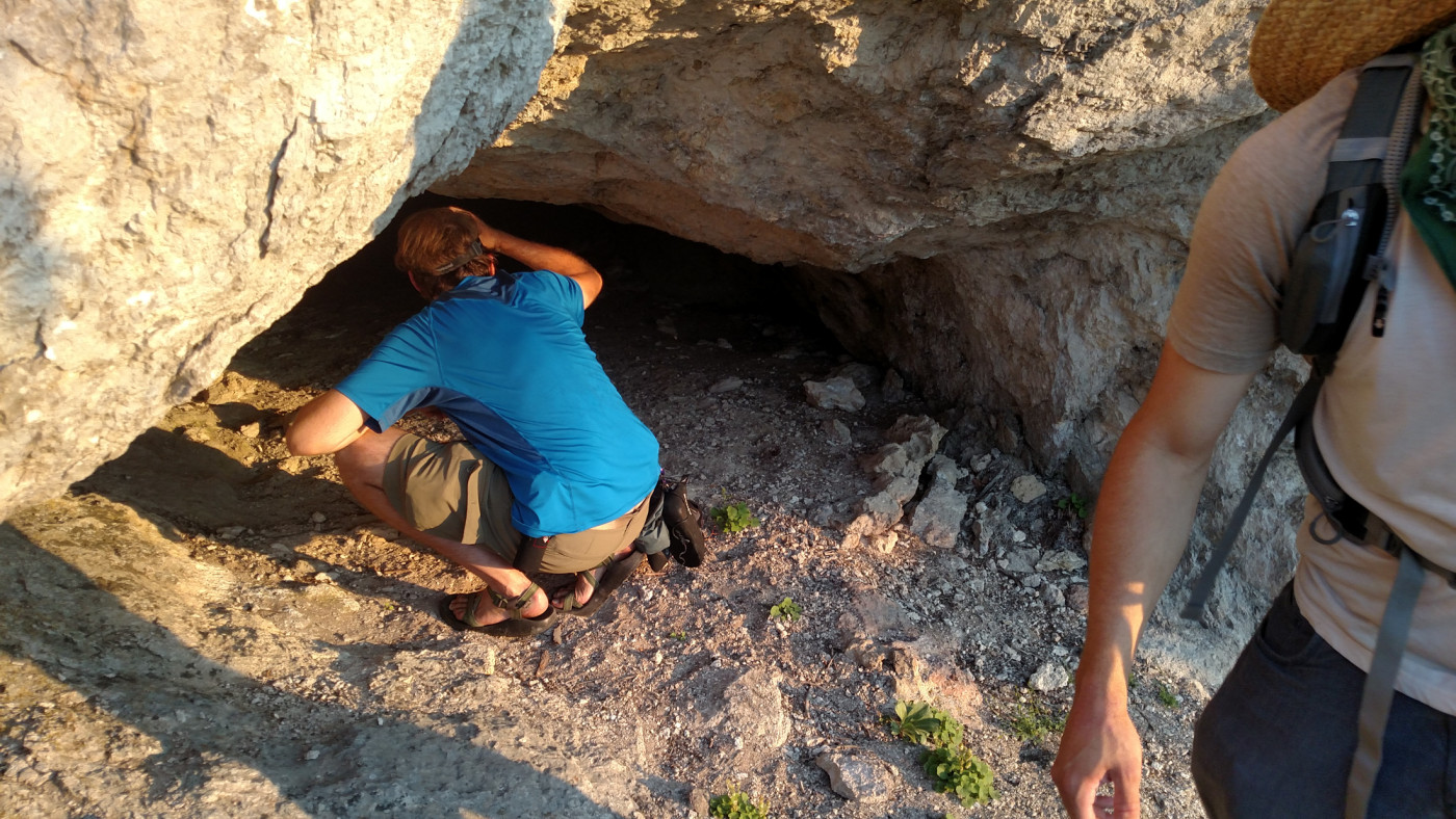
Peering into one of the caves.
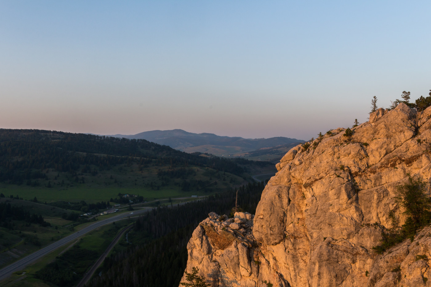
Looking south from the overlook.
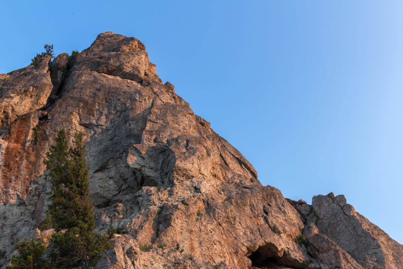
Looking up the rock from the overlook. Clearly technical climbing skills are required to go further.
After snapping some pictures of the sunset and absorbing the views it was time to get going; sunlight was dwindling fast and the steep, rocky section would not be fun in the dark.
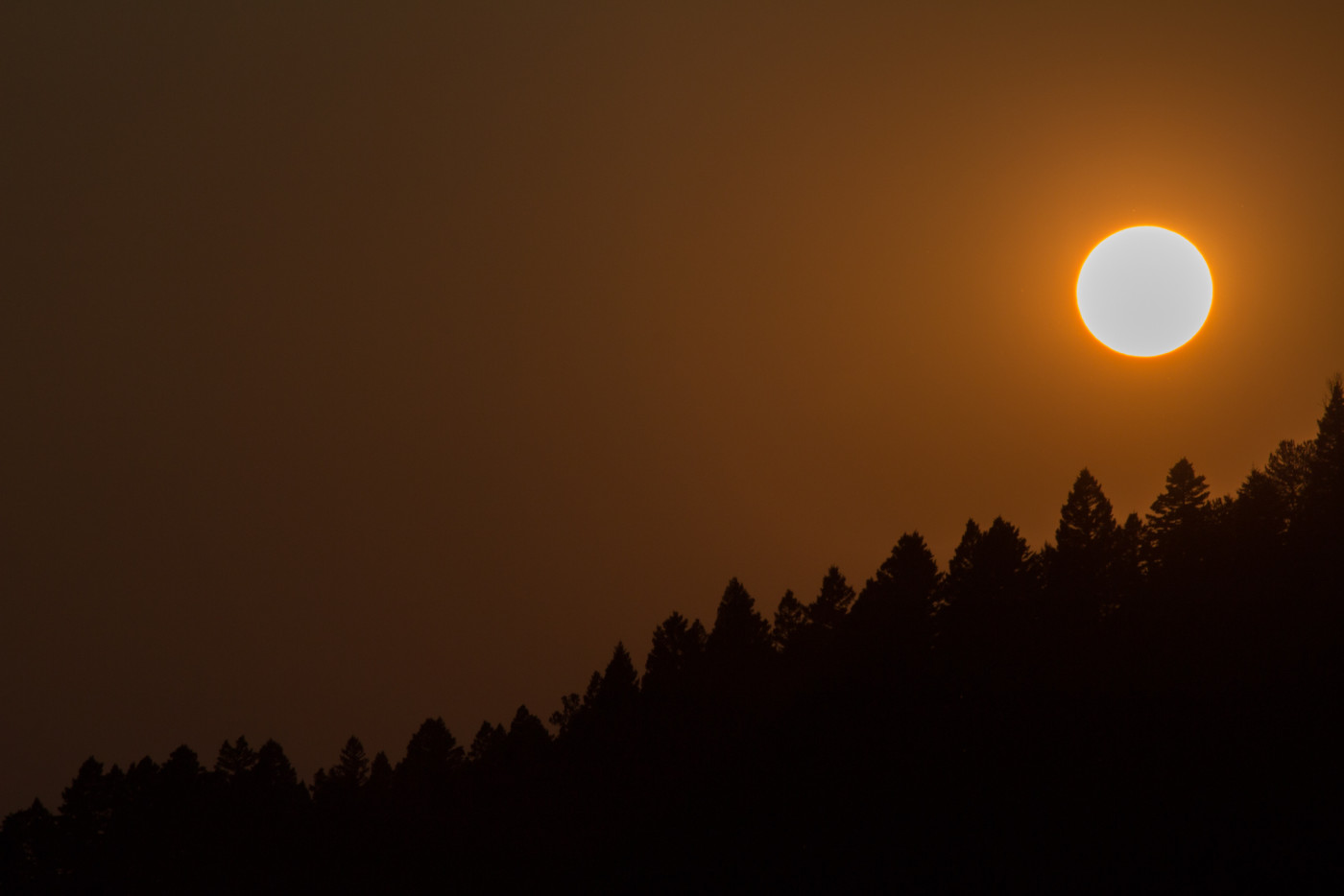
Sunset from the overlook.
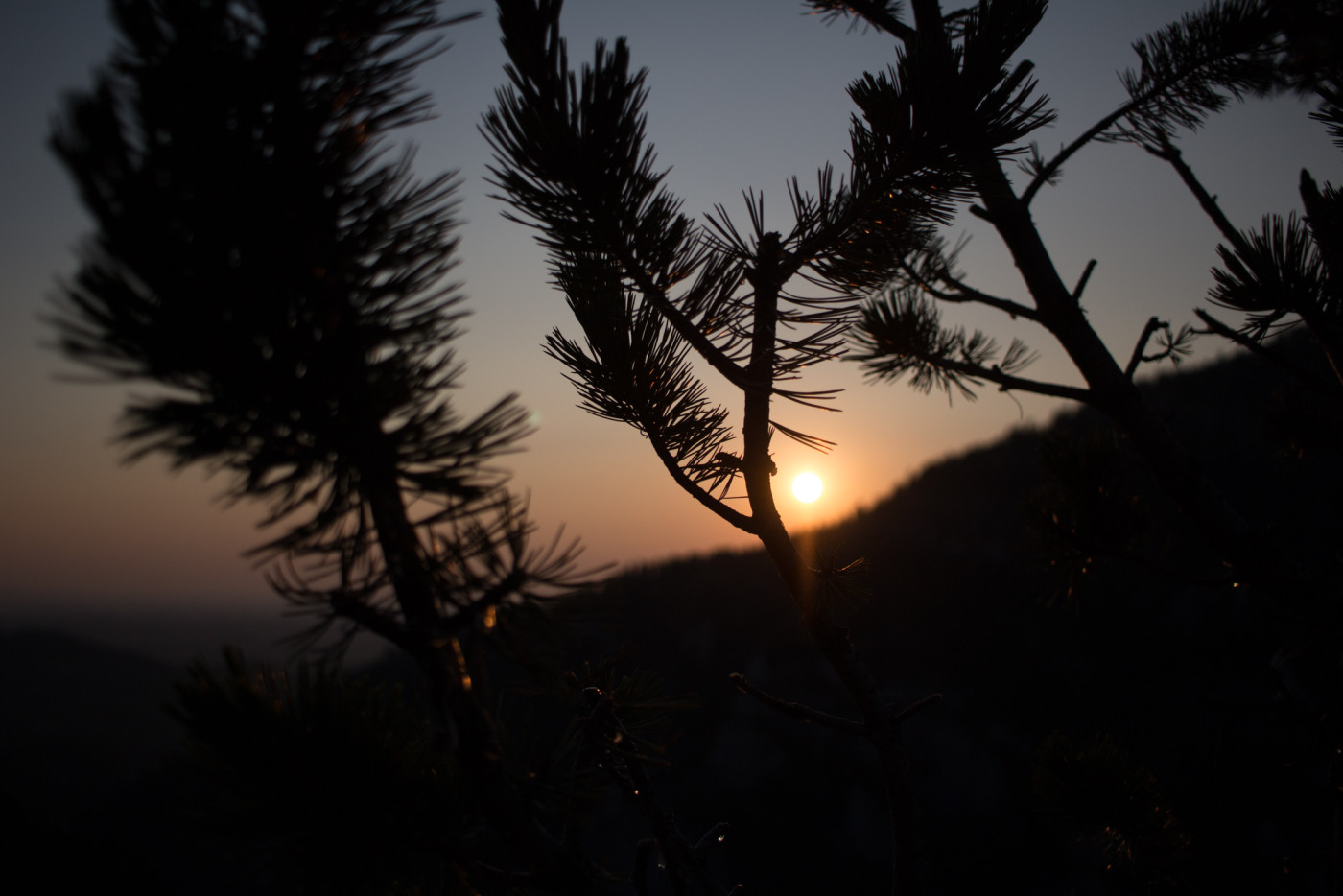
Artsy shot of the sunset.
