Gallatin Range
Mount Blackmore
Download KML
Distance
6.5 miles one way
Type
Day hike
Difficulty
Moderate
- Starting Elevation: 6600 ft.
- Ending Elevation: 10100 ft.
- Elevation Gain: 3500 ft.
 View all 33 photos
- Experience Date: Aug 2, 2015
- Hike Time: 6-7 hours
- Drive Time: 30 min
- Road Condition: Paved all the way.
- Parking: Two lots.
- Fees: None.
- Campsite Availability: One established site at southern end of Blackmore Lake. Plenty of flat spots along trail.
- Private Property: None
- Trail Features: Blackmore Lake. Blackmore Creek.
- Trail Traffic: Moderate
- Trail Condition: Well maintained. Many unmarked intersections at the start. Stick to the widest (and most obvious) trail.
- Fire Restrictions: None
- Stream Crossings: Must rock-hop some minor streams.
- Water Sources: Lake, streams, snow.
- Snow: None
- Winter Access: Trail can be snowshoed or skied. Blackmore is a popular backcountry ski destination.
- Weather: Sunny. 80 degrees.
- Bugs: Few flies.
- Wildlife Sighted: Identified a Clark's Nutcracker.
- Side Quests: Elephant Mountain.

Mount Blackmore, accessible from Hyalite Canyon in the Gallatin Range, is one of the tallest peaks visible from Bozeman and a popular summit to bag for locals; a must for any Bozemanite who’s fit enough. It’s a very straight-forward hike with no surprises. You head up a drainage to a cirque, climb a saddle, and follow the ridge directly to the summit without even a slight scramble. The summit provides an alternate view of the Hyalite area and offers a unique view of the Gallatin range to the south. The hike’s not nearly as challenging as it appears which was a bit of a let-down for me. Aside from a couple of steeper sections it’s basically just a stroll through the woods. Additionally, the amount of traffic was perplexing. It’s the kind of hike you’ll see people doing just for exercise so you can forget about having any alone time, at least in the summer. I think it’d be more interesting to head towards Elephant Mountain at the saddle and explore that side of the ridge.
Mount Blackmore.
Background
Mount Blackmore, “terror” of the Gallatins, beckons to anyone looking south of Bozeman, appearing as a sharp, pyramidal-shaped summit ready to deter even the most experienced hikers. It was one of the first peaks I’d heard about after moving to Bozeman and it seemed to have a reputation for being one of the most difficult hikes in the area (although in retrospect this is certainly not the case). It wasn’t until my fourth summer that I was finally fit enough scale this beast and one weekend in July we decided to go for it.
Blackmore, a volcanic peak named after Mary Blackmore, a Bozeman resident who died from pneumonia in the summer of 1872, can be accessed via two trailheads near Hyalite Reservoir; one is just before the reservoir and the second is right near the parking lot at the reservoir. Neither will save you any time and they both merge after about 0.5 miles anyway. The trail winds through the Gallatin Forest to Blackmore Lake and then climbs steadily to a cirque at the base of Mount Blackmore. From the cirque it’s a fairly simple climb up to a saddle and then to the peak for a total of 3500’ of vertical over 6.5 miles. The trail is suitable for biking and the peak is popular for backcountry skiing during the winter. Skiiers typically ascend the mountain along the northeast ridge.
Mount Blackmore (far right) as seen from Bozeman. Photo taken March 2016.
Getting Started
Blackmore remains mostly hidden from view as you drive along Hyalite Canyon Rd. towards the reservoir. It’s not until just before the trailhead that you get a glimpse of it to the southwest but the view doesn’t last for long so it’s hard to tell what you’re up against.
Since the second route looked fractions of a mile shorter on the map, we naturally went straight to that trailhead. Once at the parking we were startled by the sight. The lot was completely packed, not a single spot was available. Apparently some sort of paddle-boarding event was taking place at the reservoir and had now gotten in the way of our adventure so we were forced to backtrack the excruciating 0.5 mile drive to the first trailhead.
The Adventure Begins
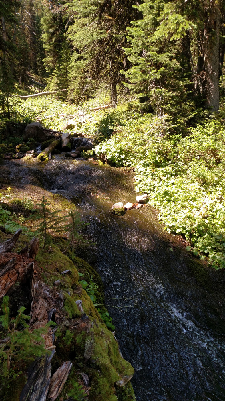
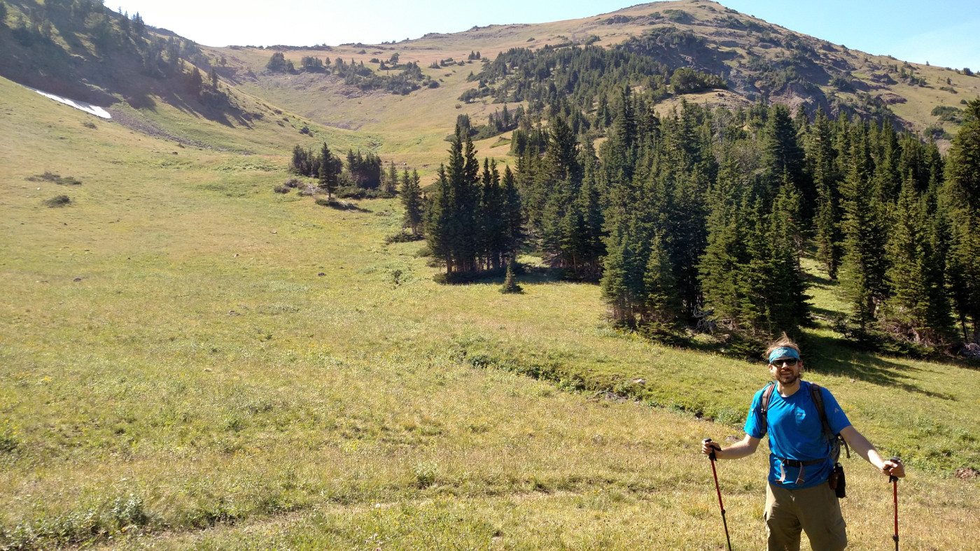
The trail starts out as a steady climb through the forest and passes through numerous unlabeled intersections. It’s pretty obvious which direction to go since the correct trail is more established than the others but if you’re not paying attention it’s easy to make a wrong turn. After about 0.5 miles there’s one final intersection and the real trail begins which continues to climb steadily and then descends to Blackmore Lake, about 1.5 miles in. It’s a tiny lake with some nice views and makes for a great short day hike destination. Camping along the shore would be difficult since it’s partially surrounded by a marsh but there’s a well-established campsite just beyond the south end of the lake. The trail then continues uneventfully through the forest, closely following Blackmore Creek which acts as a great nearby water source.
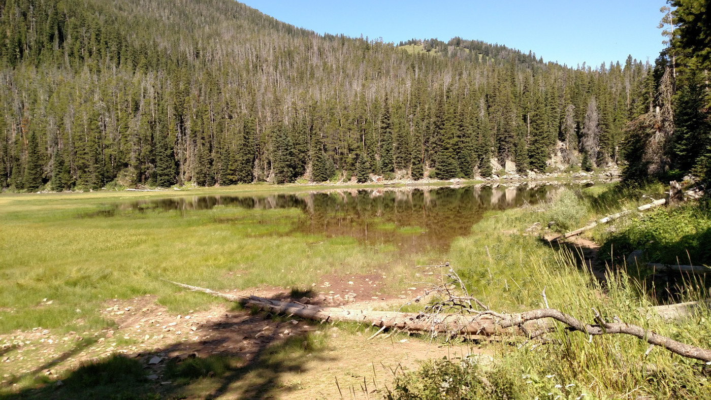
Blackmore Lake.
Looking south from Blackmore Lake. That is definitely NOT Mount Blackmore in the distance.
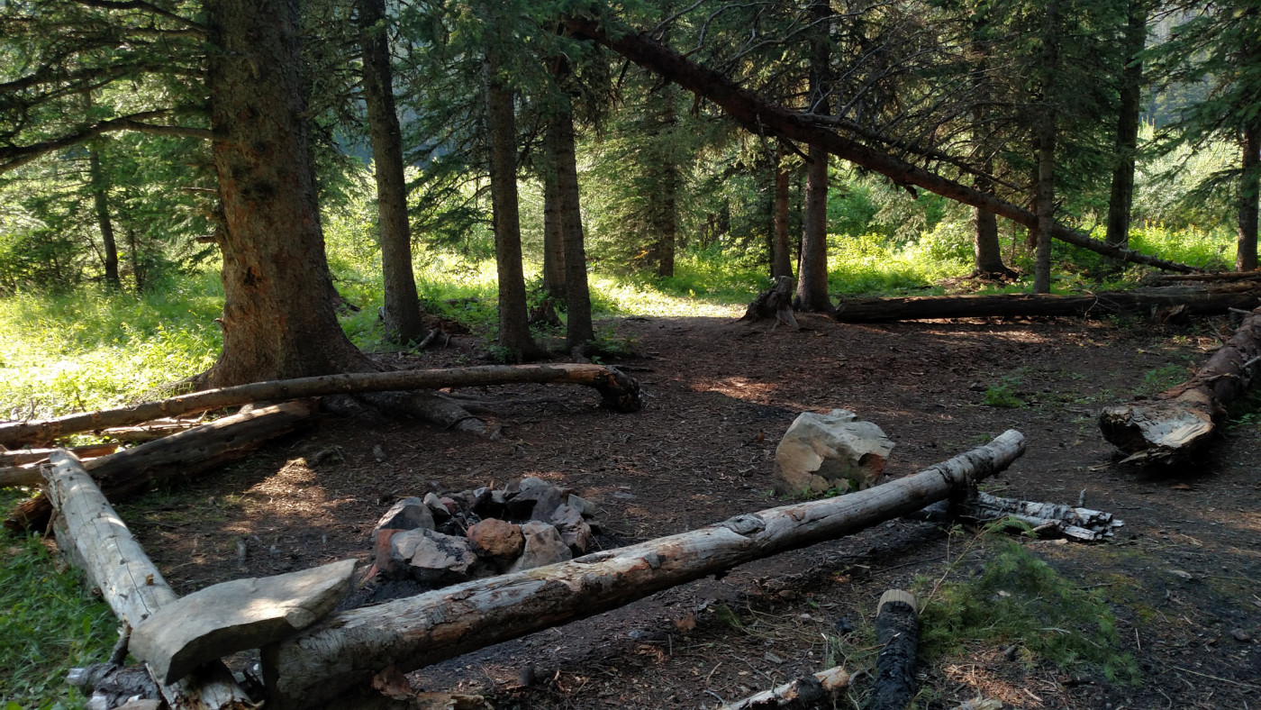
The campsite at the southern end of the lake.
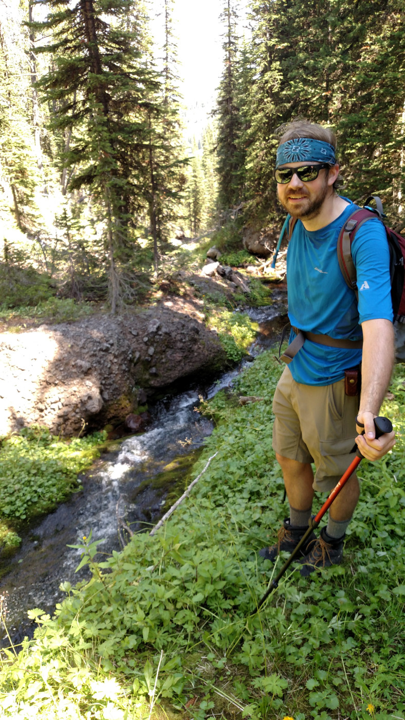
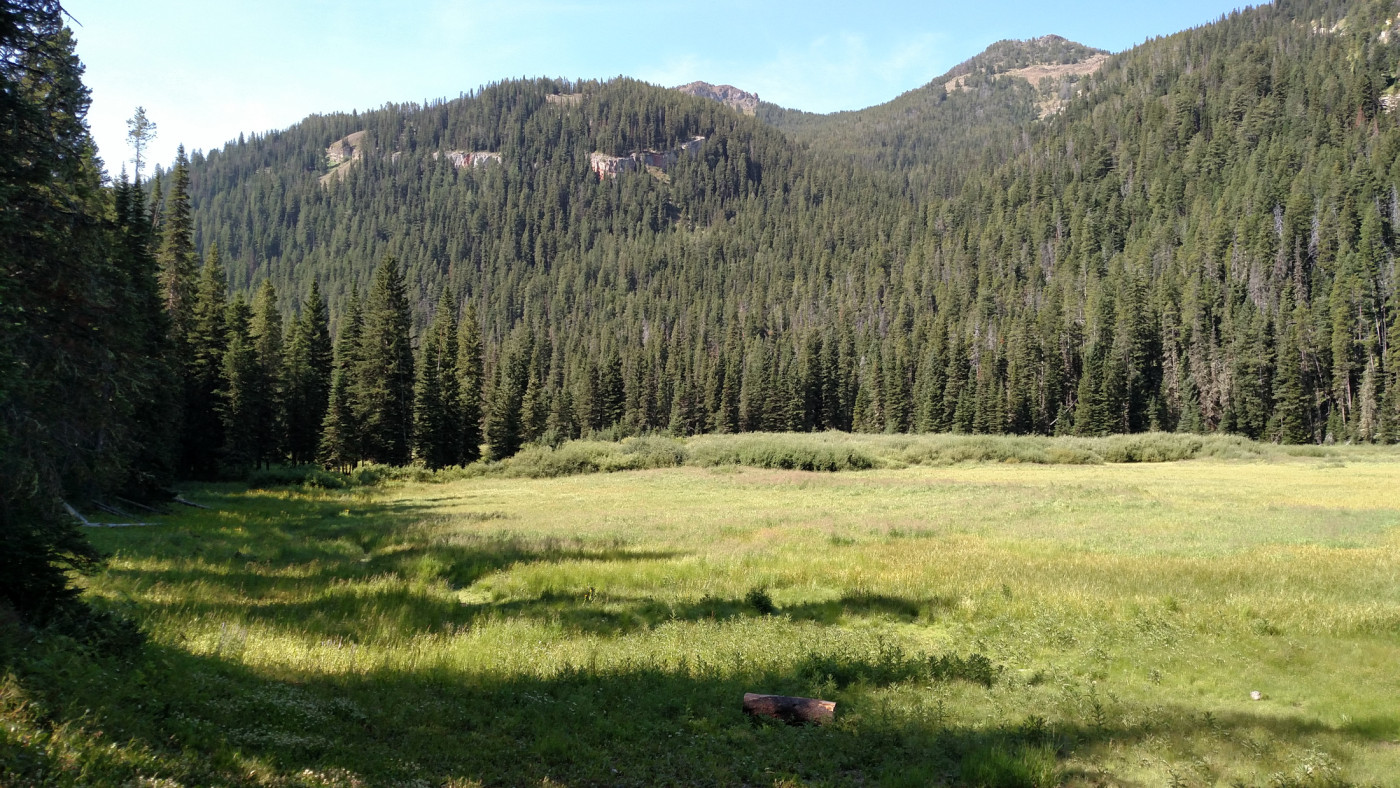
About halfway in we found ourselves in a beautiful meadow full of vibrant wildflowers. It was the perfect break spot so we dropped our bags and planted ourselves in the shade of a nearby tree for a quick lunch. The plant life was unbelievably lush because of the wet summer and had taken over the area, almost to the point of being an infestation. Bees were fluttering around in every direction through this botanical paradise, collecting nectar and pollinating flowers, and I managed to capture a few decent photos of the scene before we set off again through the forest.
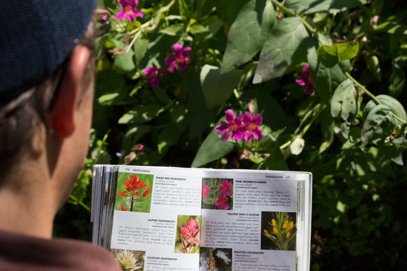
Identifying a Pink Monkeyflower.
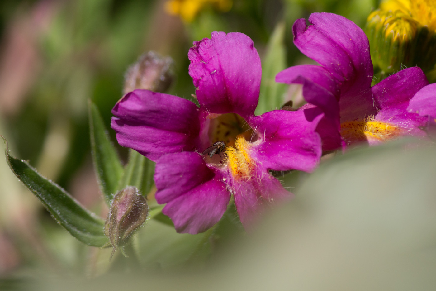
Closeup of a Pink Monkeyflower.
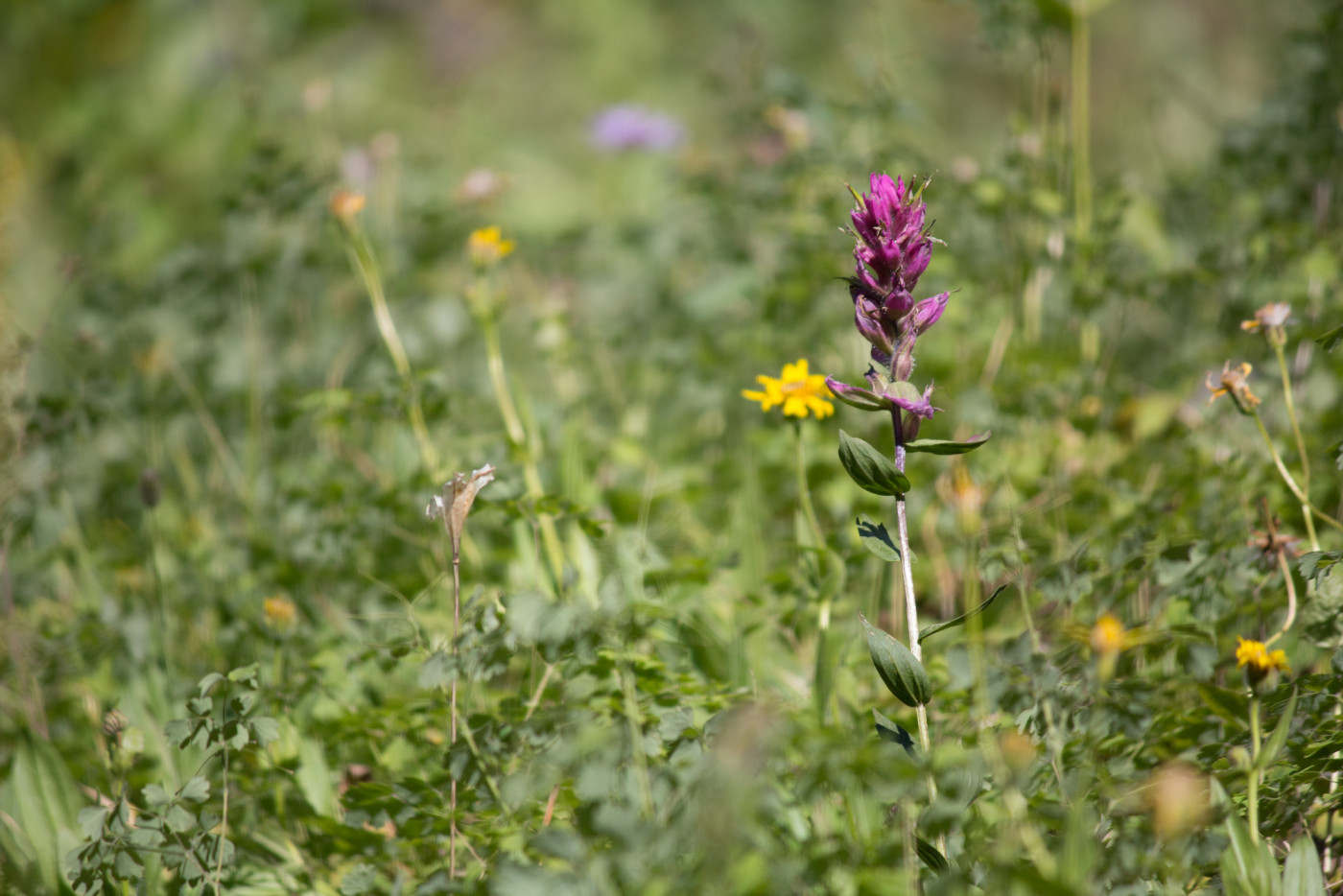
More flowers.
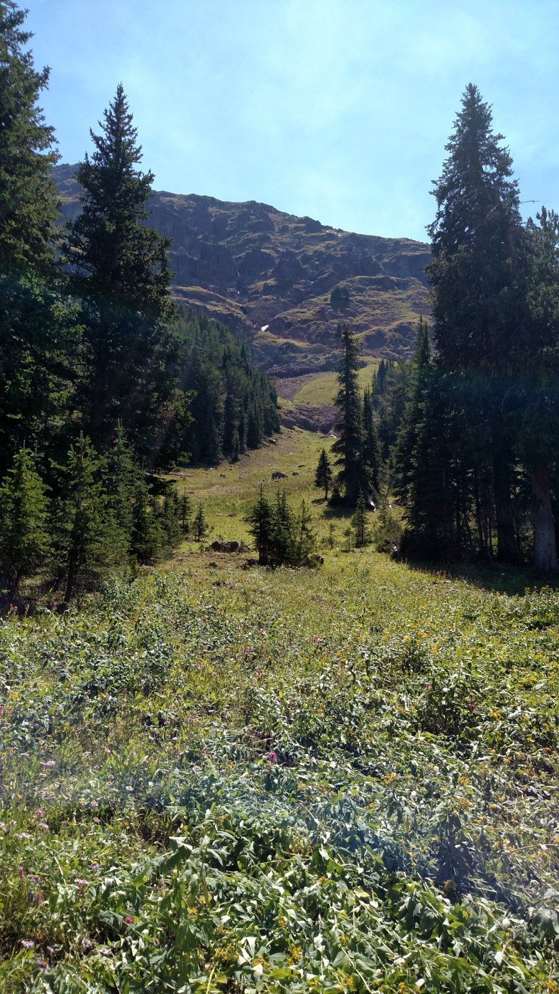
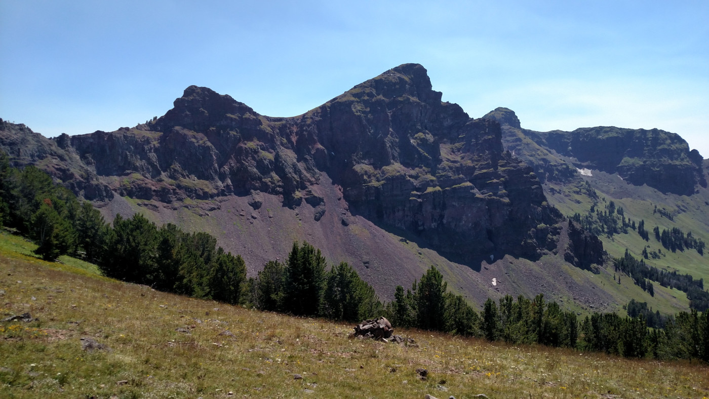
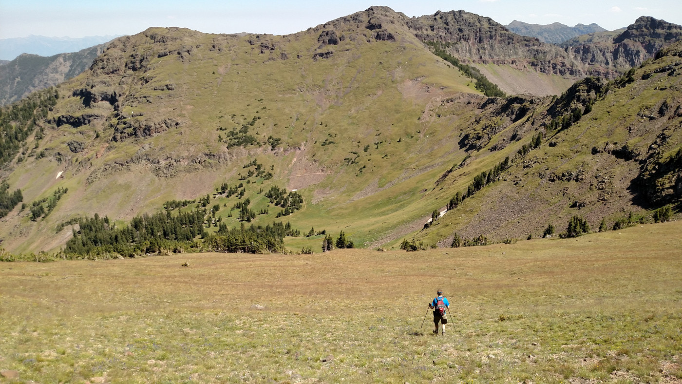
The trail continues climbing steadily and after some switchbacks the forest opens up revealing Mount Blackmore to the southwest and Elephant Mountain to the southeast. Further ahead the trail enters the cirque at the base Blackmore and begins switchbacking up a saddle that connects the two mountains.
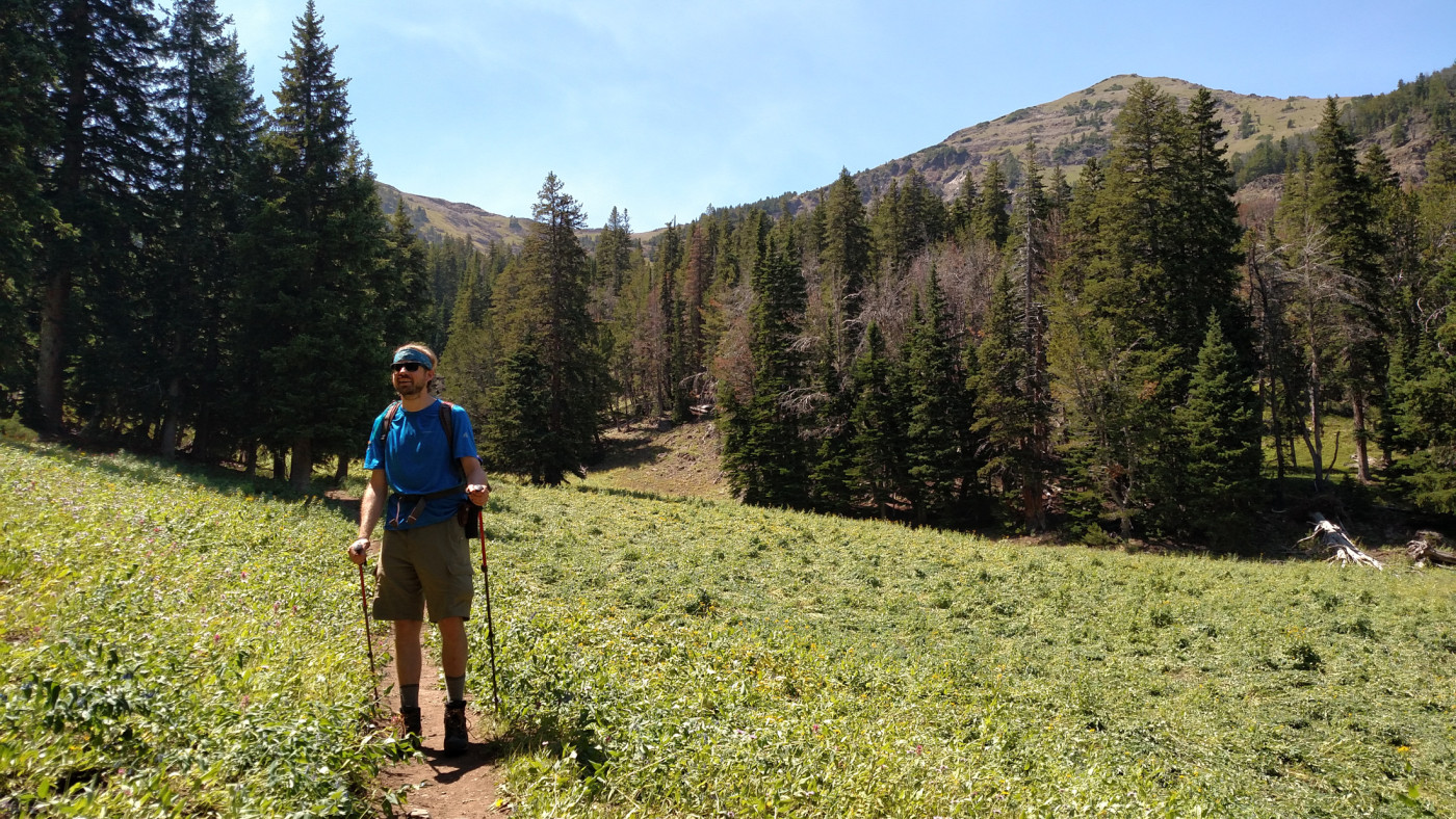
First view of Blackmore.
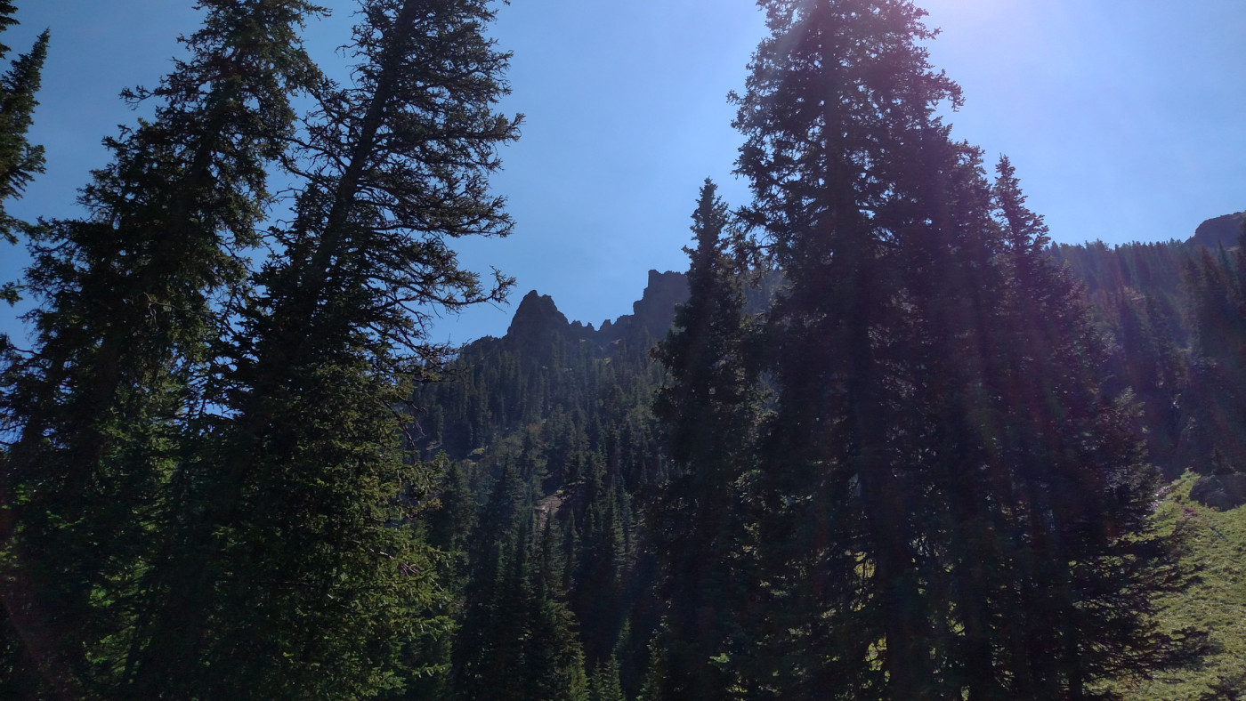
A cool rock formation.

Approaching the saddle.
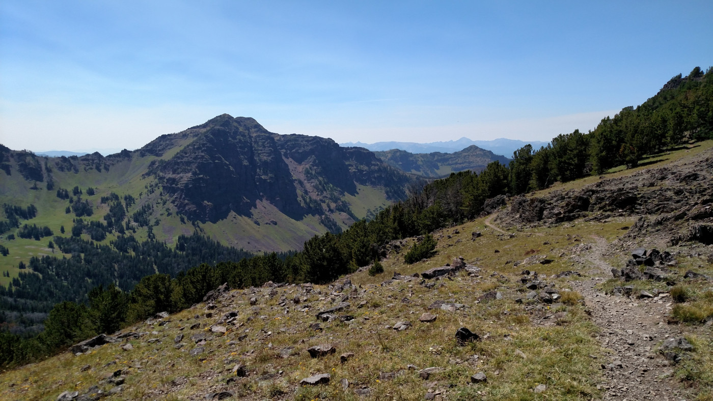
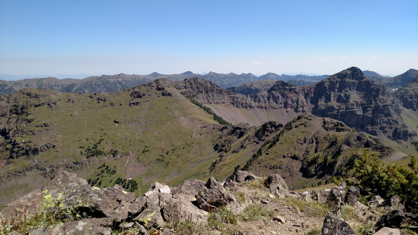
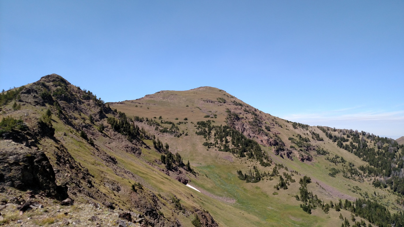
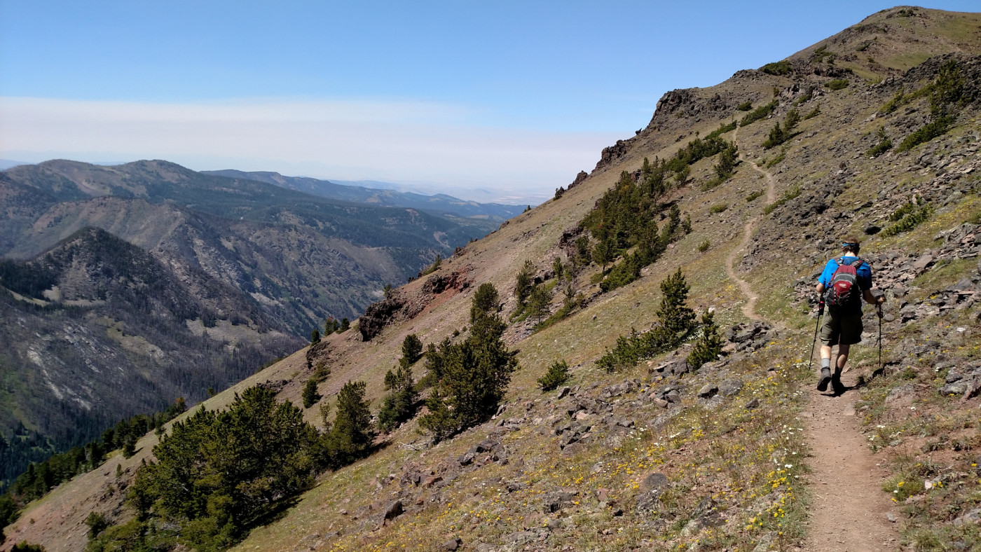
At the top of the saddle the trail intersects Trail 423 which descends the southern side of the saddle into the South Cottonwood Creek drainage and eventually merges with the South Cottonwood Creek Trail, another possible, although lengthy, route to Blackmore. There didn’t appear to be a trail leading up to Elephant but the the path is clear and looks just as, if not more, exciting as Blackmore. The Blackmore trail continues westward along the ridge and after a short, scramble-free climb you’re at the summit.
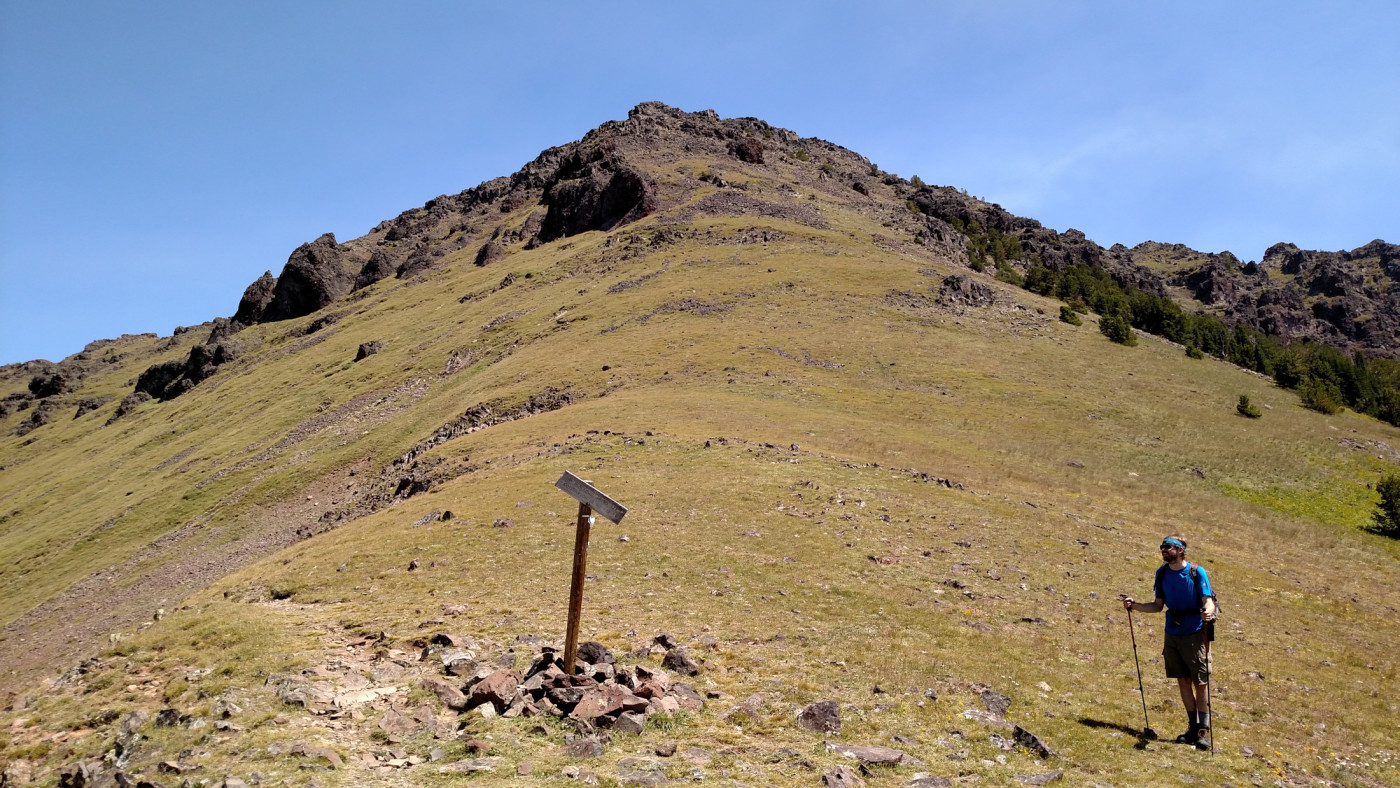
Looking up towards Elephant Mountain. I love the crooked sign.
An unnamed peak just south of the saddle. I think it’s worthy of a name…I’ll call it Trigonal Peak.
The final “climb” up to the summit.
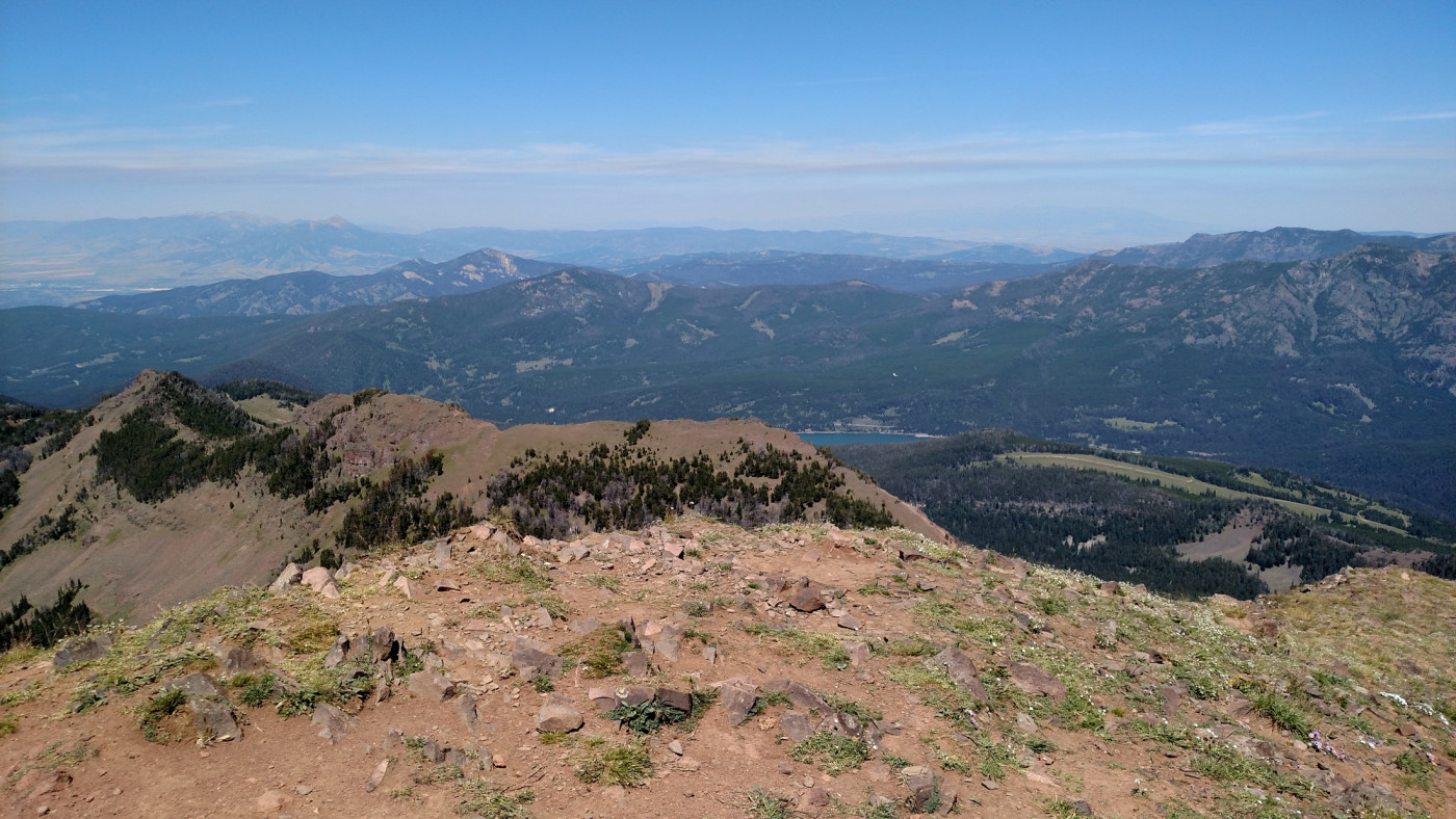
The Summit
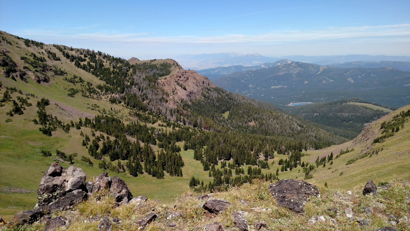
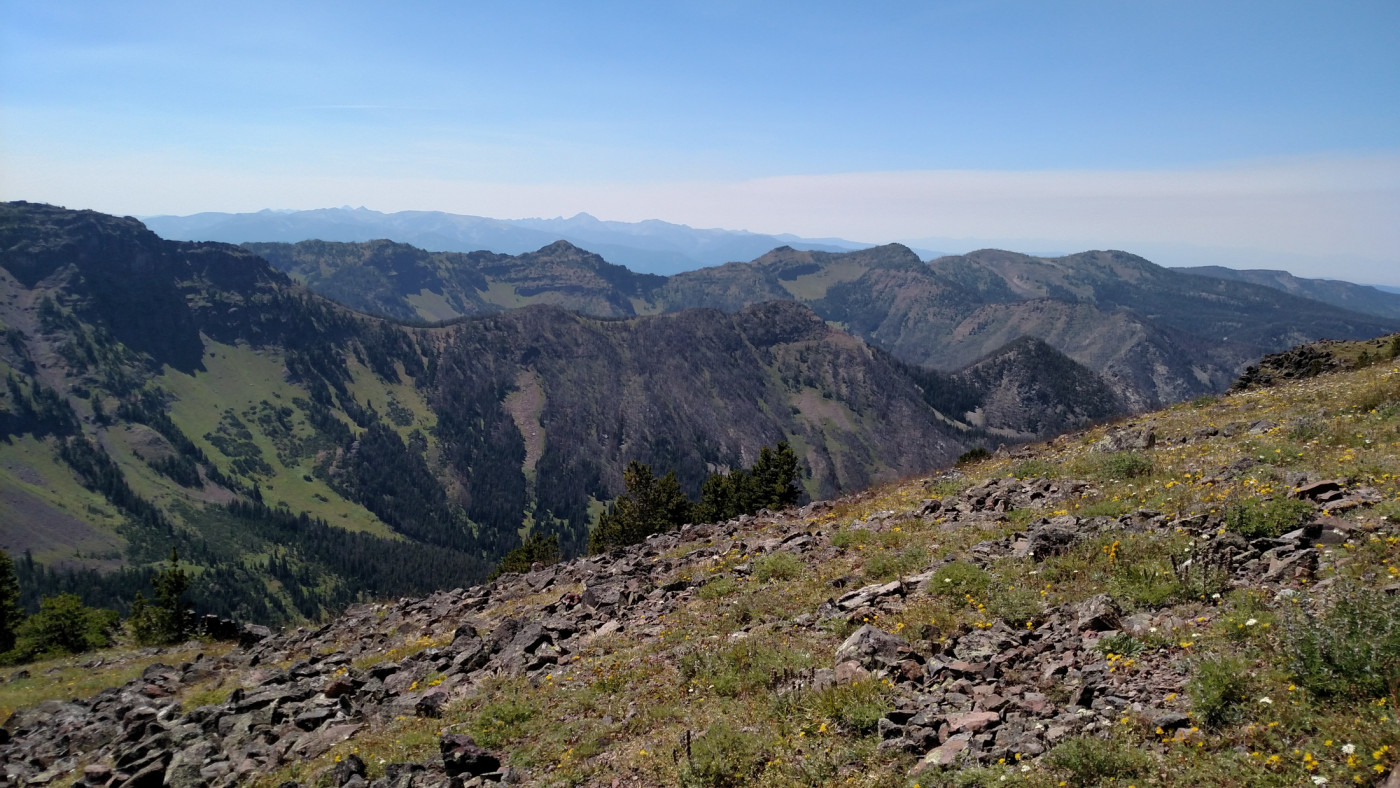
The summit is surprisingly flat and not nearly as intimidating as it appears from Bozeman which was somewhat of a letdown since I’d expected something more challenging. Nonetheless, the views from the top are great. Bozeman can be seen off in the distance to the north and the Hyalite reservoir to the northeast. The Gallatin Range extends for miles in every direction and two prominent peaks, Alex Lowe Peak (named after the late mountaineer Alex Lowe, a Bozemanite who died in an avalanche in 1999 while climbing in Tibet) and Mount Bole, rise above a cirque to the south.
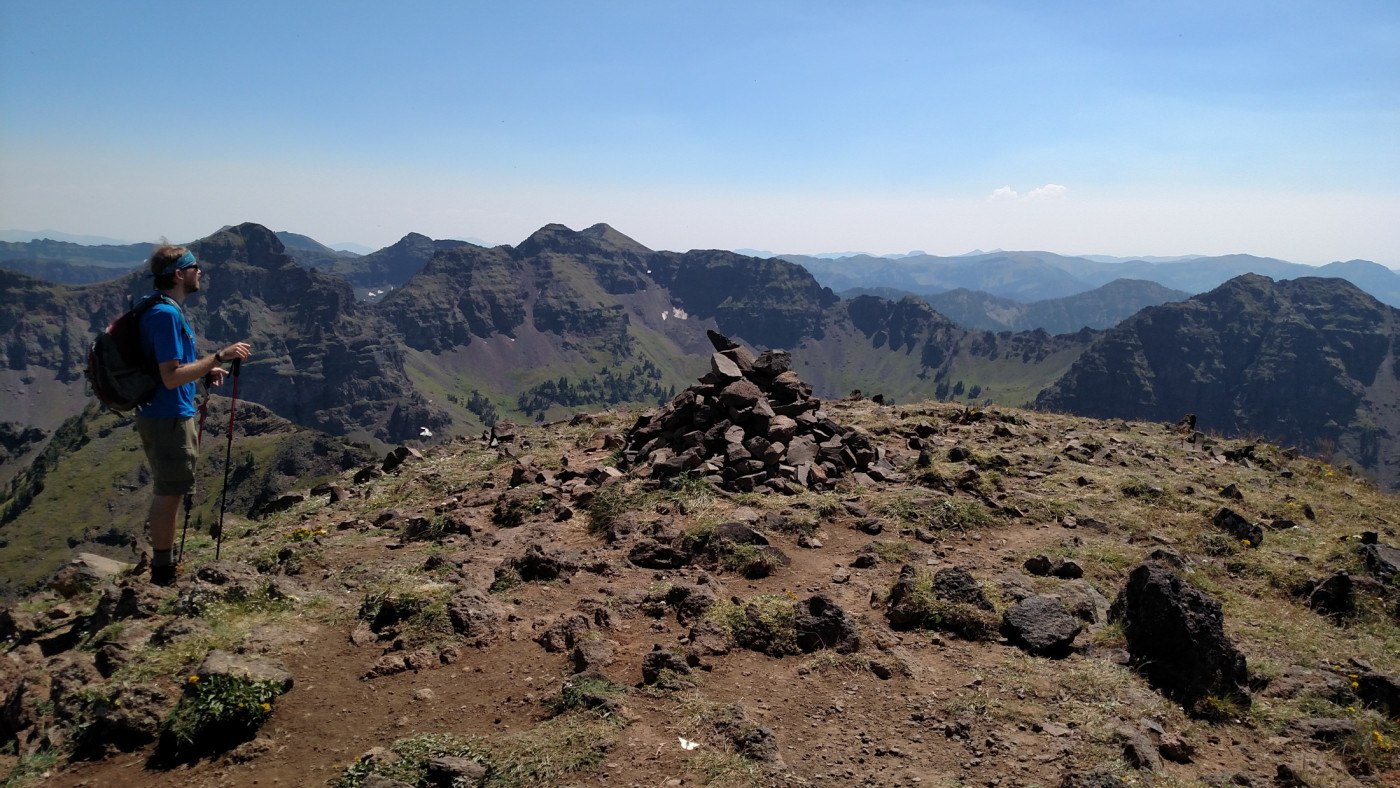
The Summit. Mount Bole (center left) in the distance and Alex Lowe Peak to the right.
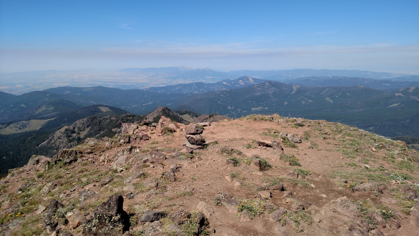
Looking north towards Bozeman.

Looking west from the summit. The South Cottonwood drainage is down below.
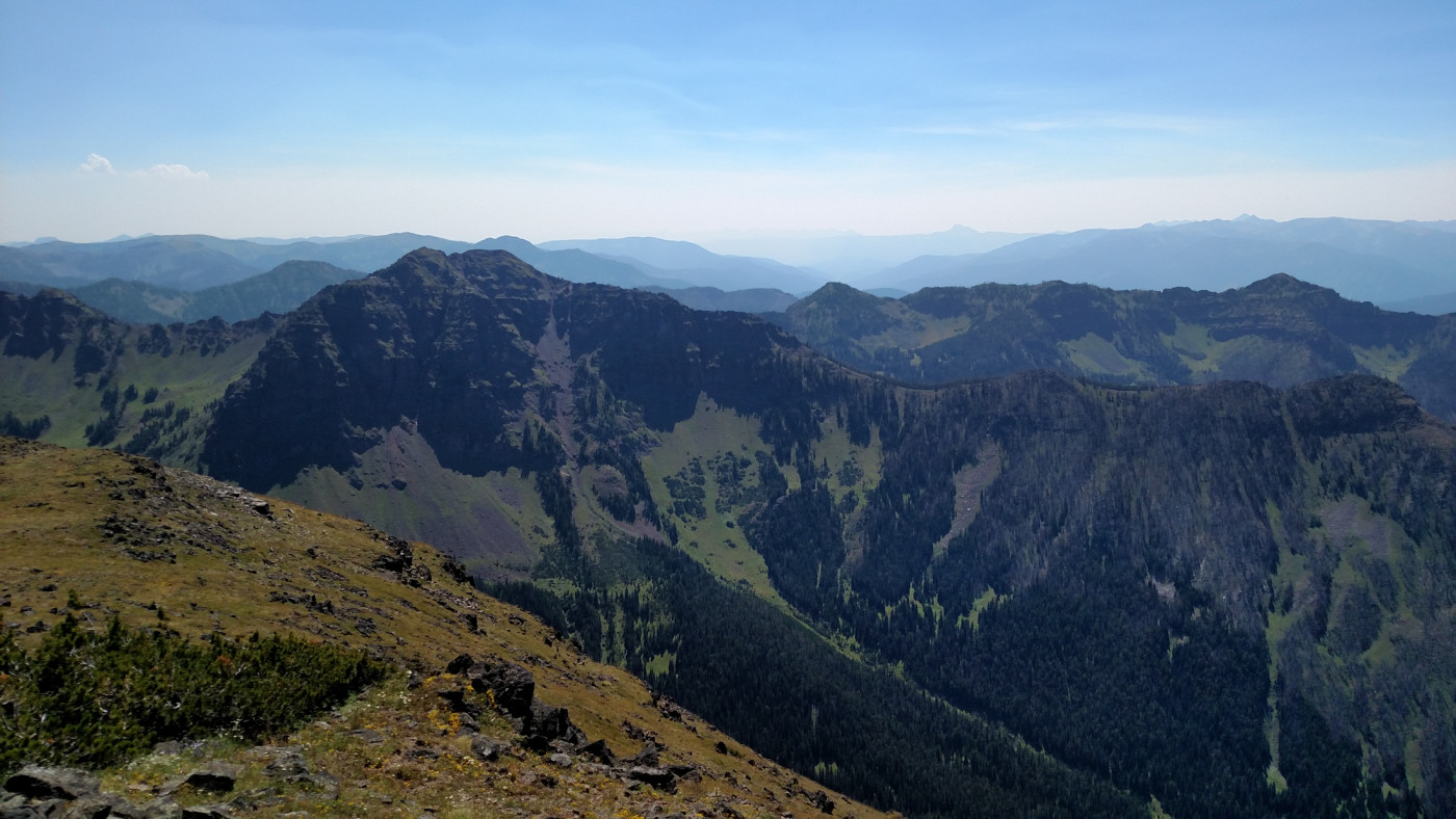
Looking south at the Gallatin Range from the summit. Alex Lowe Peak on the left.
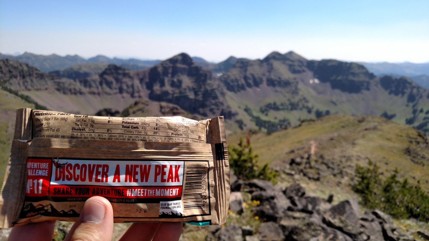
The wind at the top was almost non-existent and we were able to sit down and have a relaxing snack break before heading back down. We’d made excellent time so far and expected to be back before dark which was very unusual for our adventures.
Definitely accomplished that.
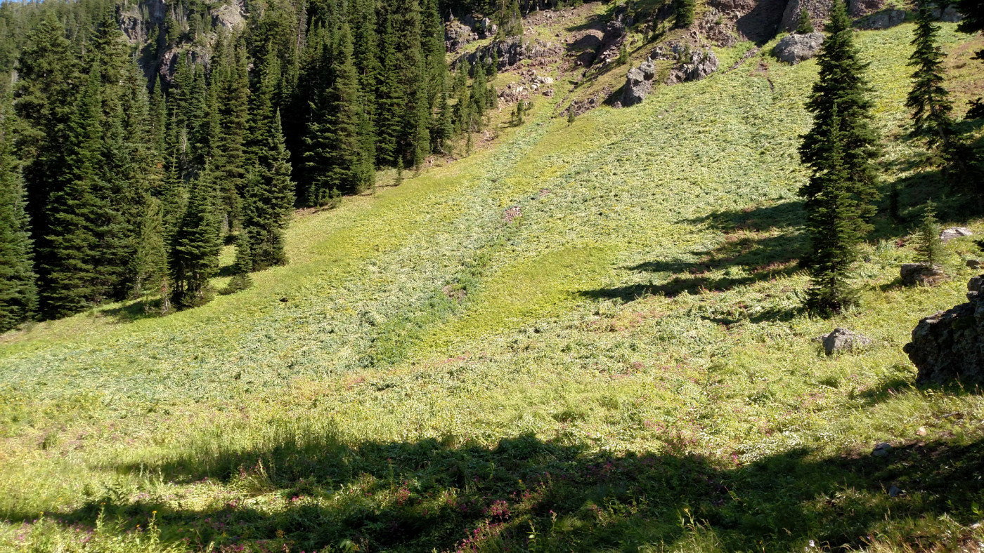
The Return
During the final stretch of the ascent we’d observed a pair of hikers heading straight down the cirque in order to avoid the unnecessarily long route down to the saddle so we followed in their footsteps hoping to add a little more excitement to the adventure and shave off some time. It’s a simple, although steep, descent down a grassy, obstruction-free slope and merges with the main trail right at the center of the cirque. I’m surprised there isn’t a trail there already considering how much distance it cuts off but it wouldn’t be a true adventure without some bushwhacking anyway.
Descending the eastern slope of Blackmore. Elephant is straight ahead.
If you want to shave off some time and distance you can head straight up to the summit right as you enter the cirque. Blackmore doesn’t look nearly as deadly from this angle.
The remainder of the journey was easy and we took an extended break near the creek so I could take some long exposure shots. There was still plenty of daylight by the time we got back to the car, as expected, and for once we weren’t completely drained of energy. Blackmore wasn’t nearly the beast we expected it to be but it was still fun and I will definitely return sometime to bag Elephant and explore that side of the ridge.
Flourishing plant life.
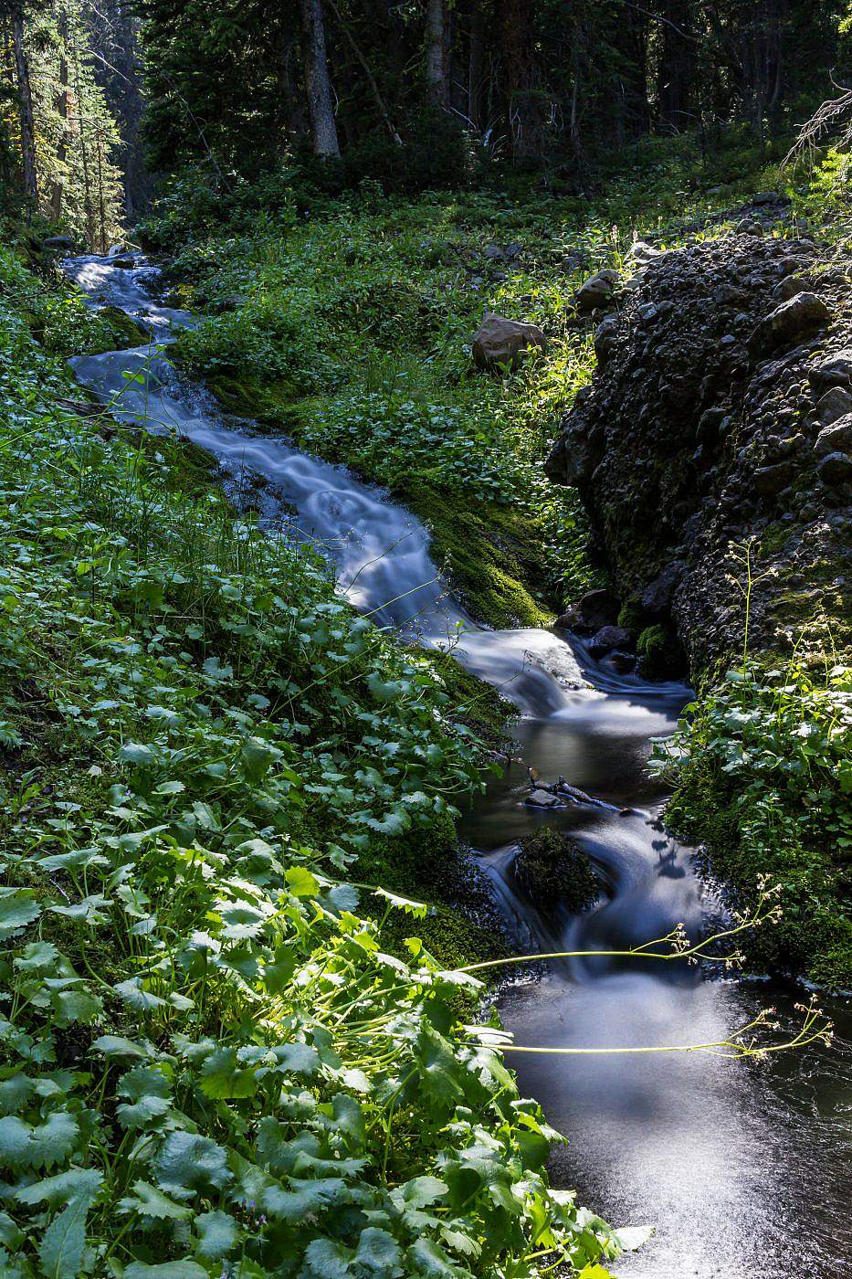
Long exposure shot of Blackmore Creek.
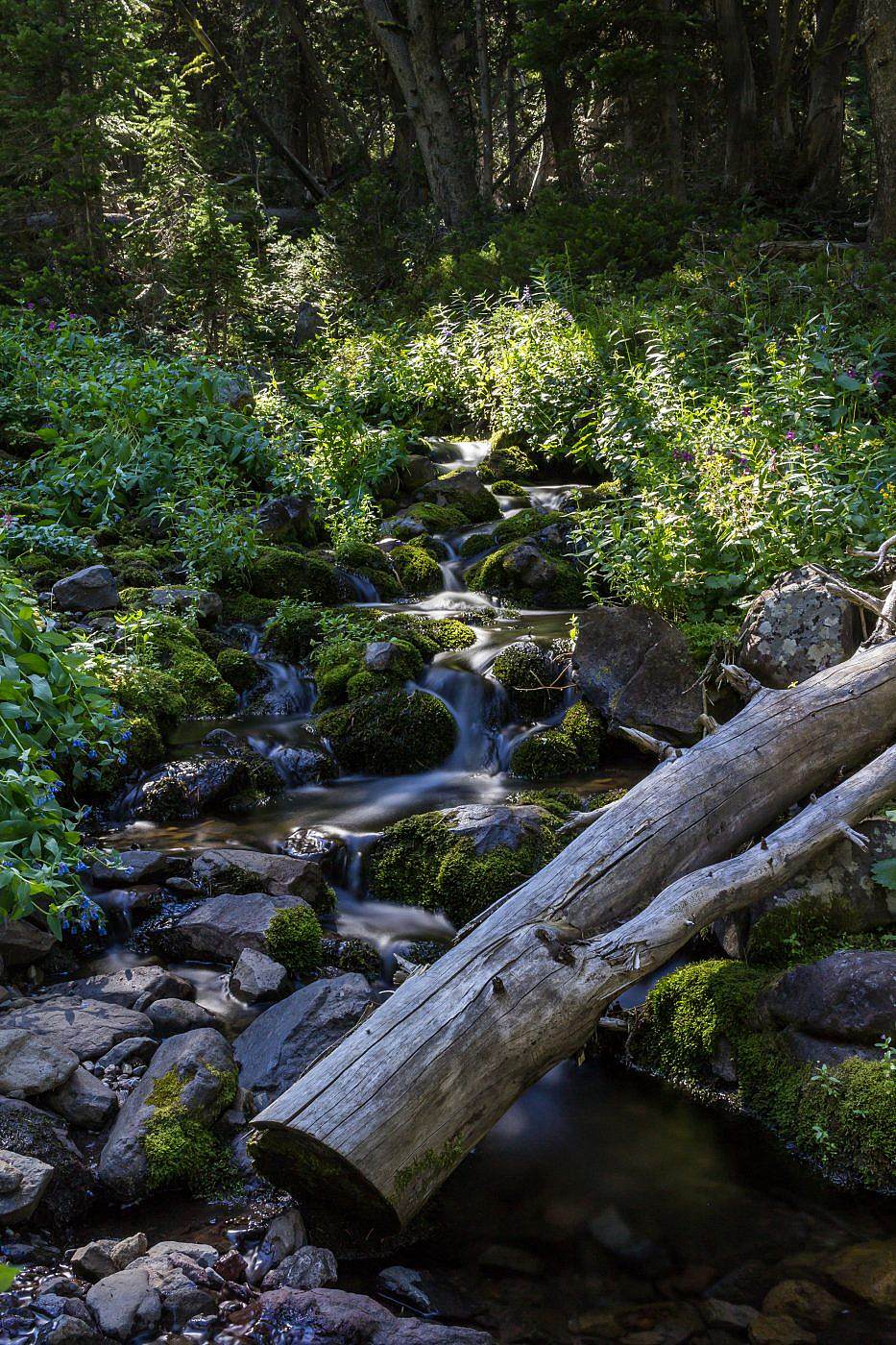
Another long exposure shot of the creek.
