Beartooth Range
Island Lake
Download KML
Distance
6.3 miles one way
Type
Day hike
Difficulty
Moderate
- Starting Elevation: 6500 ft.
- Ending Elevation: 7750 ft.
- Elevation Gain: 1250 ft.
 View all 40 photos
- Experience Date: Sep 12, 2015
- Hike Time: 6-7 hrs
- Drive Time: 2 hr 45 min
- Road Condition: Dirt. 2 WD accessible.
- Parking: Average sized lot that was almost full. There is an "overflow" lot 1/2 mile away from the main lot.
- Fees: None posted.
- Campsite Availability: Many sites along the southern shores of Mysitc Lake. Many sites along the northern shores of Island Lake.
- Private Property: None posted.
- Trail Traffic: Moderate
- Trail Condition: Well-maintained.
- Fire Restrictions: No fires within 1/4 mile of Mystic and Island Lakes.
- Stream Crossings: Must cross log jam to get to northern shores of Island Lake.
- Water Sources: Plentiful. Streams and lakes.
- Snow: None
- Winter Access: Unknown.
- Weather: 80's. Comfortable. Sunny to partly cloudy.
- Bugs: Some small black flies that bite.
- Wildlife Sighted: Mule deer roamed through our campsite.
- Side Quests: Froze to Death Plateau. Mystic Equinox Tower. Mount Hague. Huckleberry Lake, Princess Lake, Avalanche Lake, Storm Lakes, West Rosebud Lake, Emerald Lake.

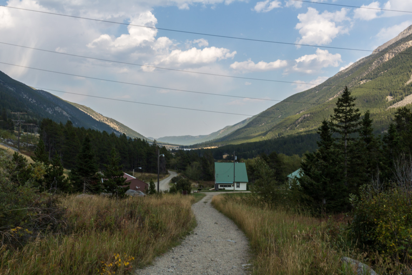
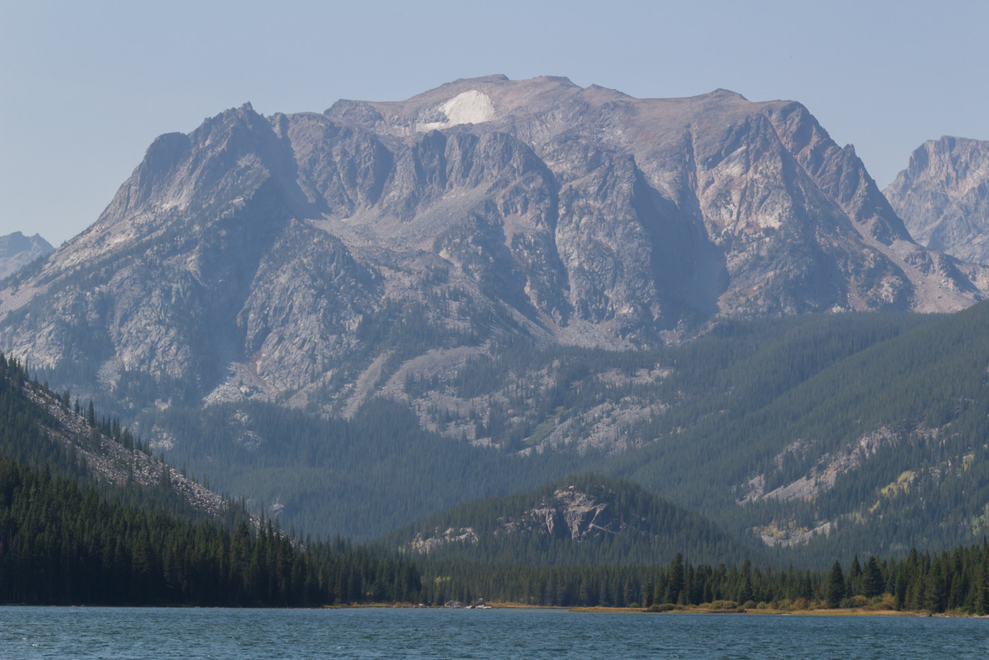
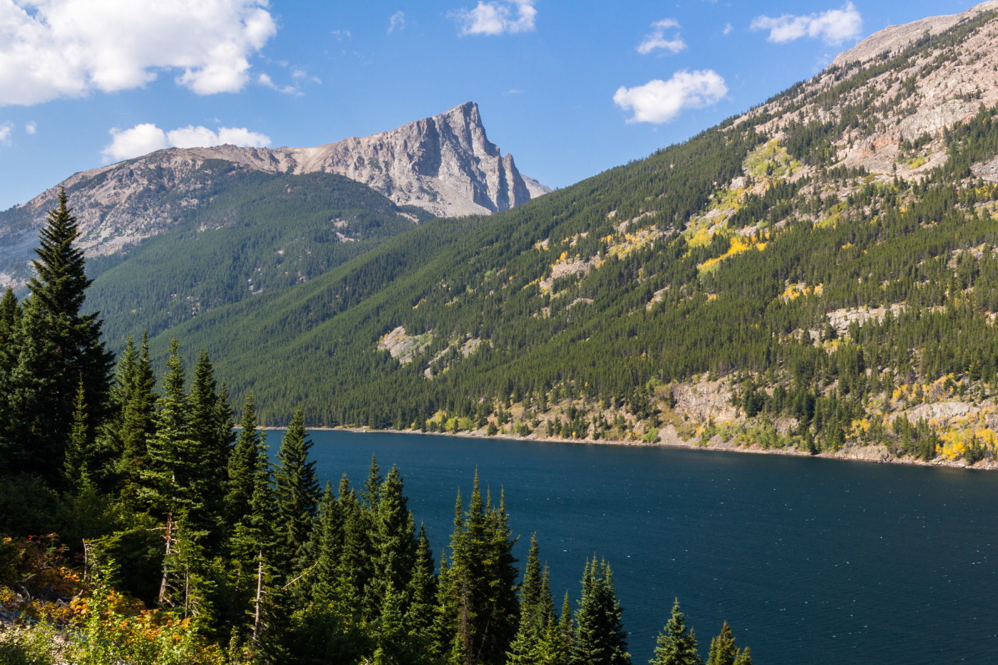
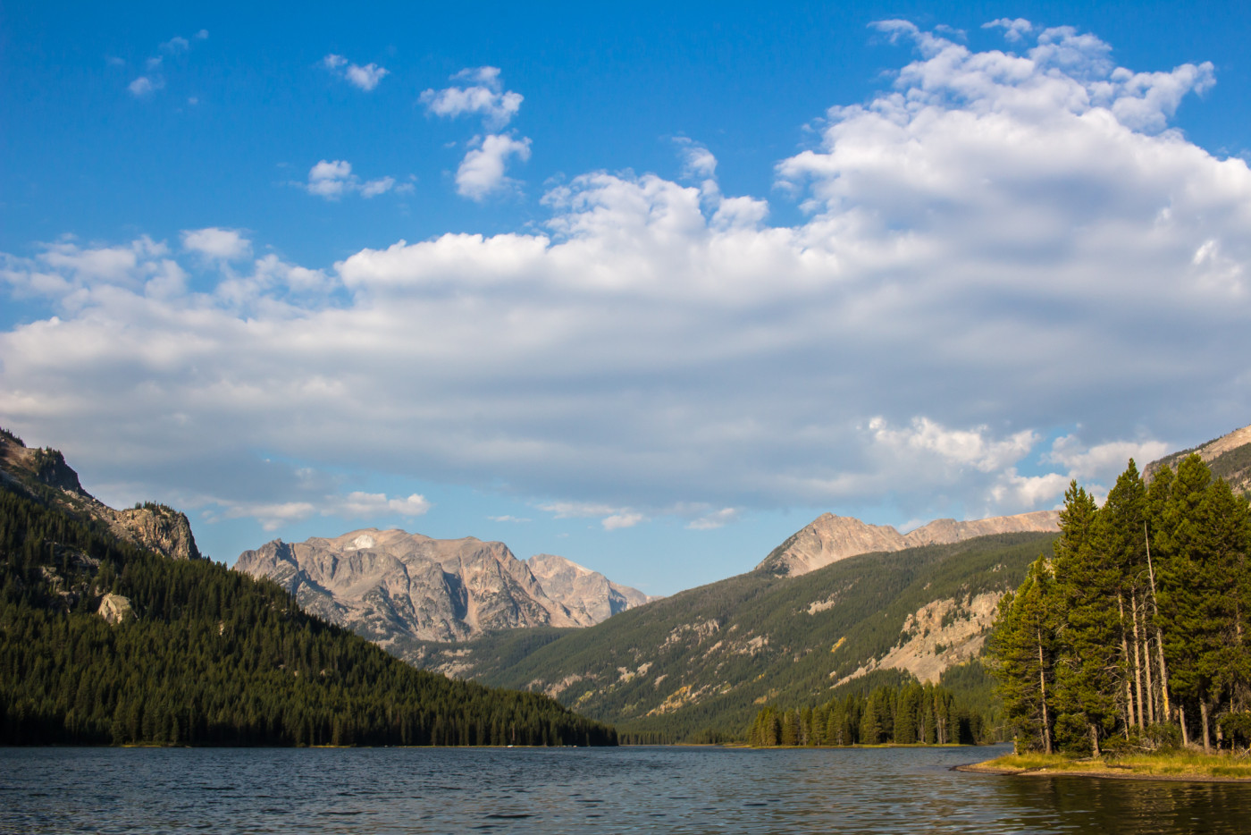
Island lake, located at the northeastern edge of the Beartooth Mountains, provides a variety of unique views and offers a chance to escape the crowds associated with Mystic Lake. It’s also one of the easiest lakes to get to considering the remoteness of the region and the abundance of adequate campsites around the lake makes it a backpacker’s paradise. The trail starts out mostly flat, gains steepness during the approach to Mystic Lake, and then flattens out again as it follows the southern shore of the lake. Even the Mystic Lake hydroelectric dam, which provides Billings with electricity, I found intriguing despite being a “scar” on the land. One could easily establish a base camp at either lake and hike to a number of locations including the Mystic Equinox Tower or the Froze-to-Death Plateau, home of the tallest point in Montana, Granite Peak.
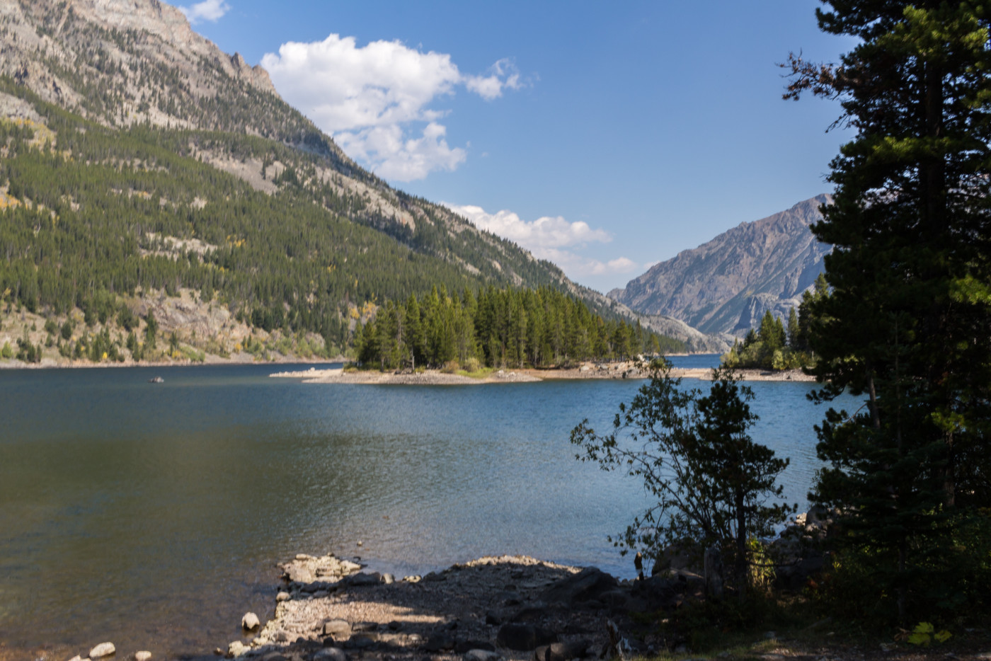
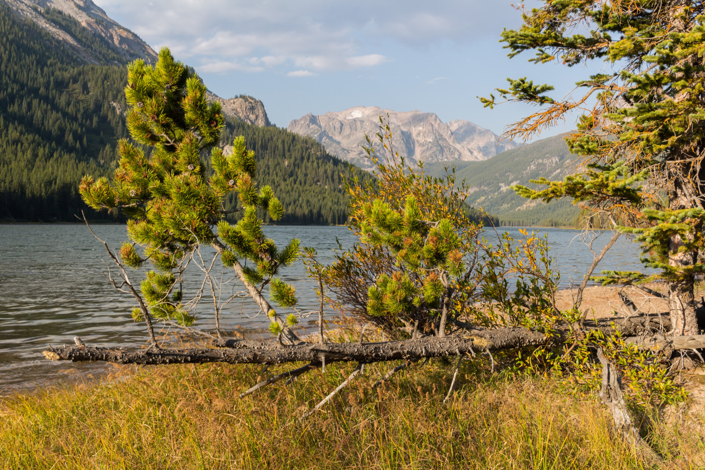
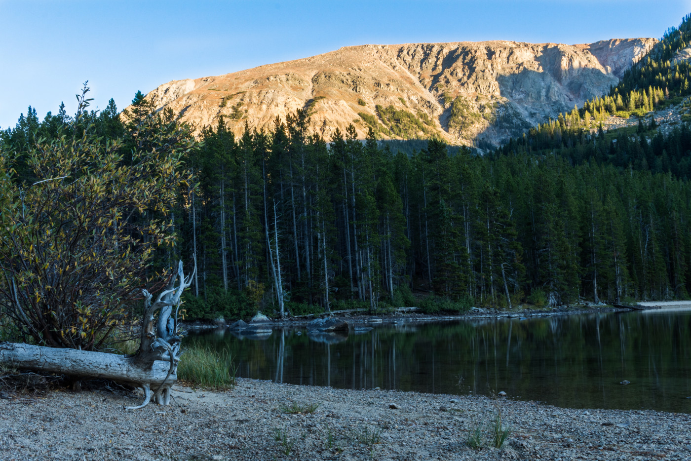
Island Lake.
Background
After a long, grueling week in the lab it was finally Friday and that meant one thing, time for another adventure in the mountains. Following our weekly tradition, we sat around a table at Taco Montes chowing down tacos and discussing potential destinations for the weekend. It didn’t take long for Arlo to whip out his map of the Absaroka-Beartooth Wilderness, slam it on the table, and demand a trip into the Beartooths, a labyrinth of spiky mountains that we had yet to explore.
The Beartooths are a tricky range if you live in Bozeman. Since the closest access points are nearly three hours away the drive alone eats up a good chunk of the day. But we had to make it there at least once before the summer’s end so I excitedly gave in to his demands and we spent the rest of the time skimming the map for the perfect backpacking spot.
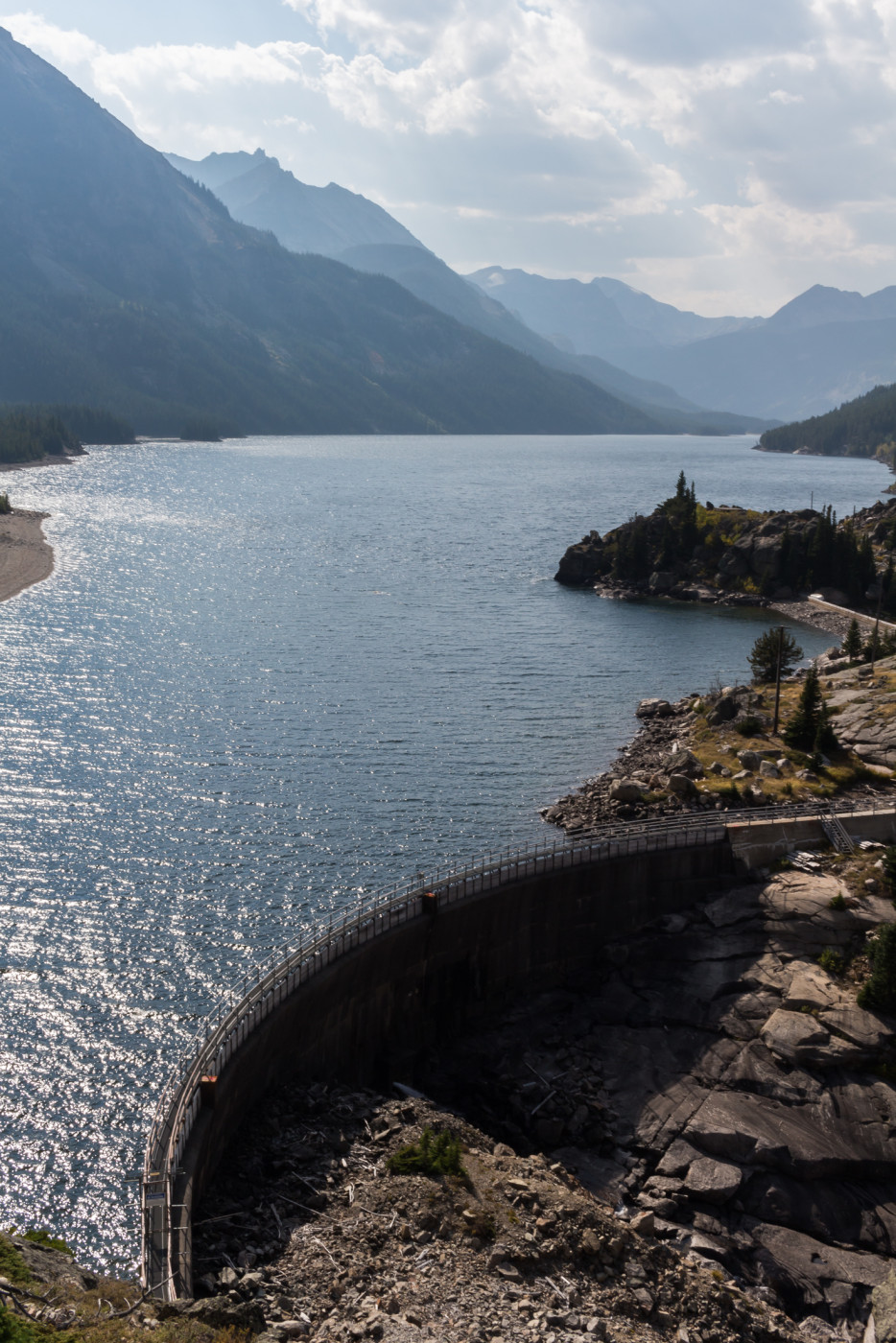
We eventually settled on Trail 19 which leads to Mystic Lake on the northeastern side of the range (not to be confused with the not-so Mystic Lake in the Gallatins). Mystic Lake is the largest lake in the range and home to the Mystic Lake hydroelectric dam, built in the 1920’s, which supplies power to Billings. Although not in the “heart” of the mountains, it’s one of the closer access points and there looked to be plenty of camping options. There would certainly be sites along the southern shores and if there was enough time I craved a climb up to the Froze-to-Death Plateau, just south of Mystic Lake. Island Lake, a couple miles beyond Mystic Lake, looked to be another viable camping option if the other plan became to ambitious.
Getting Started
The drive was, as expected, long and tiresome. The first half is spent on Interstate 90 which intersects Highway 78 in Columbus, MT. From here you jump from road to road until finally ending up on Highway 425 (West Rosebud Rd.) which leads all the way to the trailhead. Several of the turnoffs are not well-marked with road signs so make sure to pay close attention. The road turns to dirt a few miles before the trailhead and passes the Pine Grove and Emerald Lake campgrounds. It’s well maintained and 2WD accessible. Two lakes near the trailhead, West Rosebud Lake and Emerald Lake, provide plenty of recreational opportunities for those seeking a more relaxing day in the wild.
This is clearly a popular spot for locals. Several parking lots along the way were packed and many people were out making use of the lakes. The lot at the trailhead was almost full but we managed to get one of the last spots. There’s an overflow lot about a half mile back up the West Rosebud Rd but it seemed like people were coming and going frequently enough that you wouldn’t have to wait long for a spot to open up.
The Adventure Begins…
It felt great to finally step out of the vehicle after three hours of driving and breathe in the cool, refreshing mountain air. I took a moment to stretch my legs and take in the scenery that we’d shortly venture into. This was all foreign territory and I had no idea what to expect from the adventure.
It was already past noon by the time we geared up and hit the trail. We wandered up a short section of road that leads from the parking lot to the actual trailhead passing the powerhouse and some other dam-related buildings along the way. The first thing that caught my eye was a massive pipeline mounted to the side of the ridge that channels water along the canyon from the dam to the powerhouse. Alongside it is a rail track that’s used to transport workers and supplies up to the dam. A sign at the start of the trail provides information about the history of the dam for those interested.
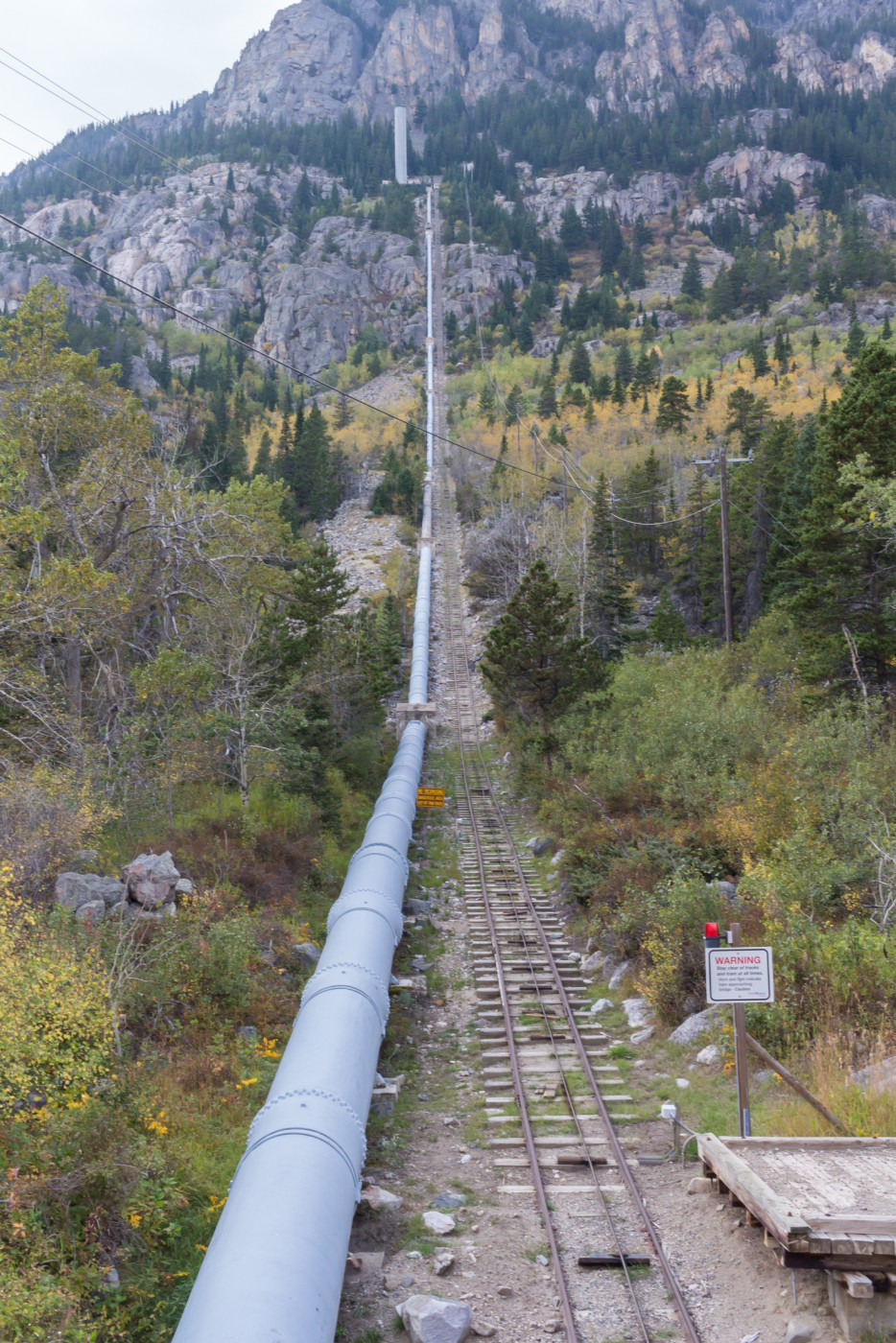
Drainage pipe and rail track.
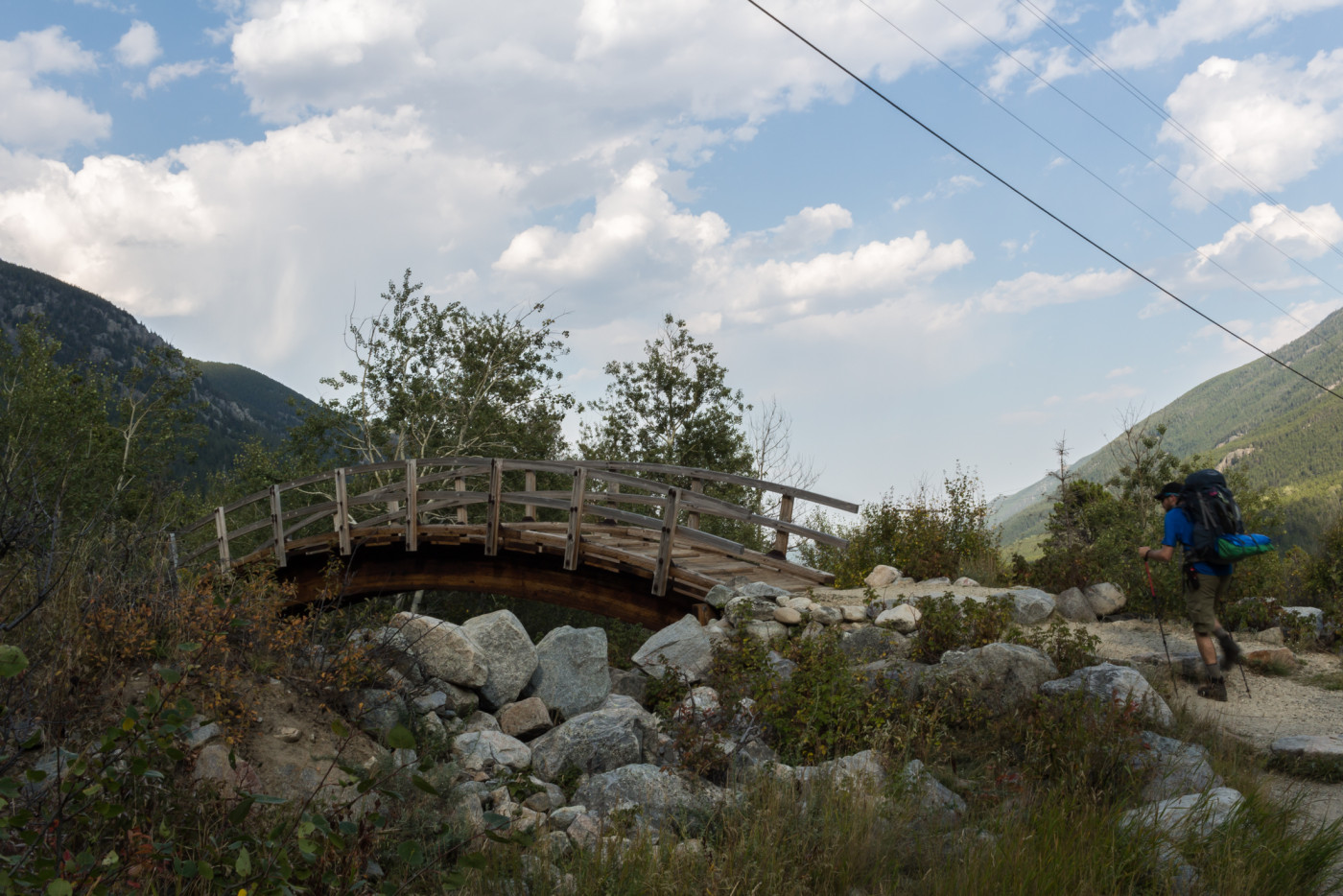
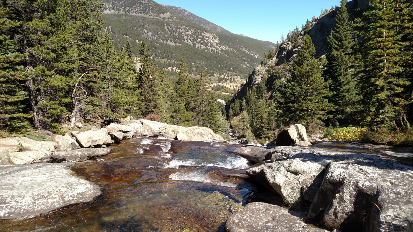
The first portion of the trail is relatively flat and closely follows West Rosebud Creek up the canyon towards Mystic Lake. Near the start there are several minor trails branching off that lead down to the creek which is worth checking out. Since the Absoraka-Beartooth wilderness was established after the dam was built, much of the trail remains outside the boundaries and it’s not until about 1.5 miles in that you actually enter the wilderness. The trail then begins to climb steadily and steepens as it switchbacks up to a rocky overlook above Mystic Lake.
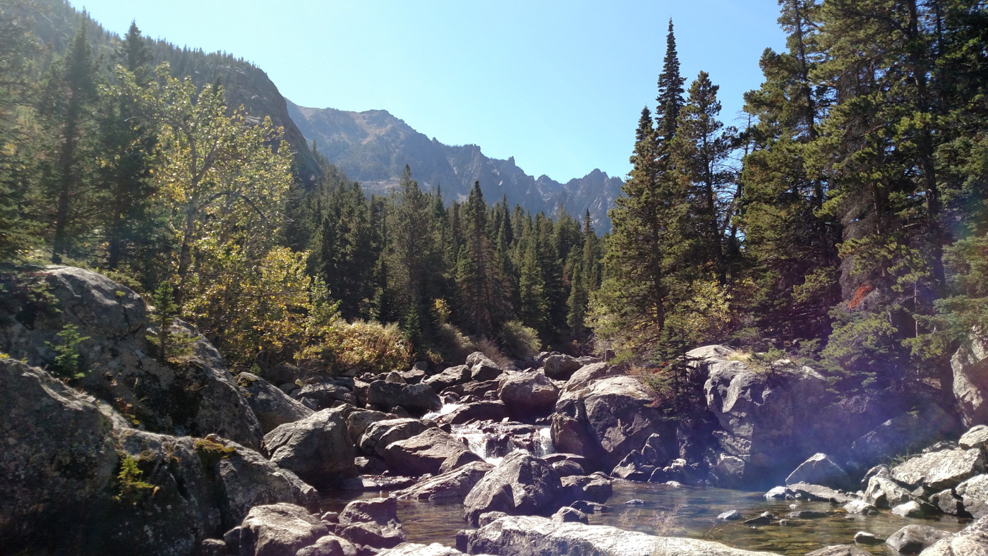
West Rosebud Creek.
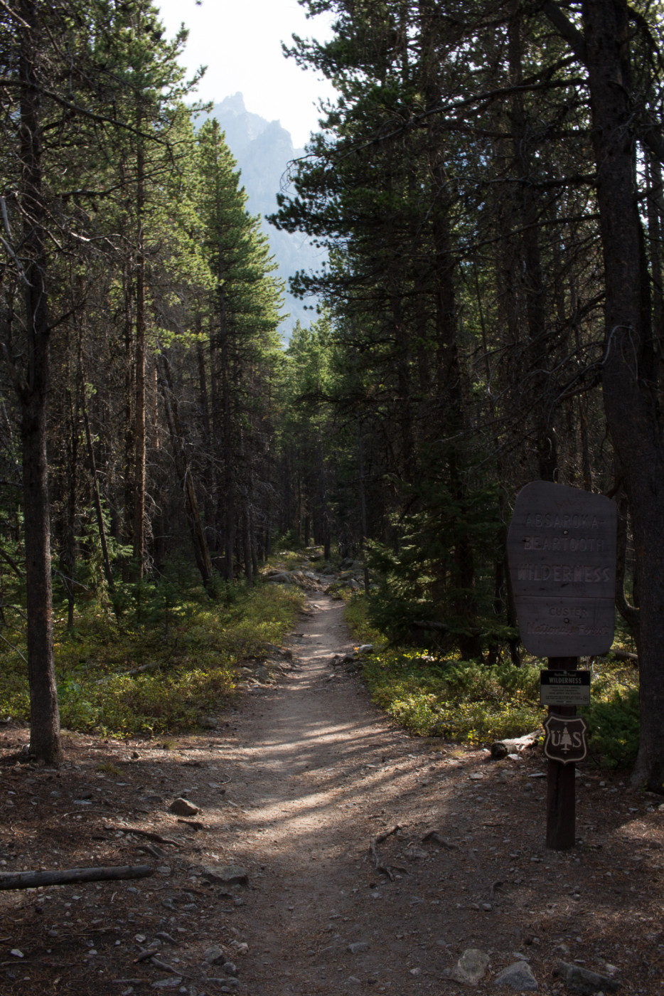
Entering the Absaroka-Beartooth Wilderness.
The climb leading up to the Mystic Lake lookout.
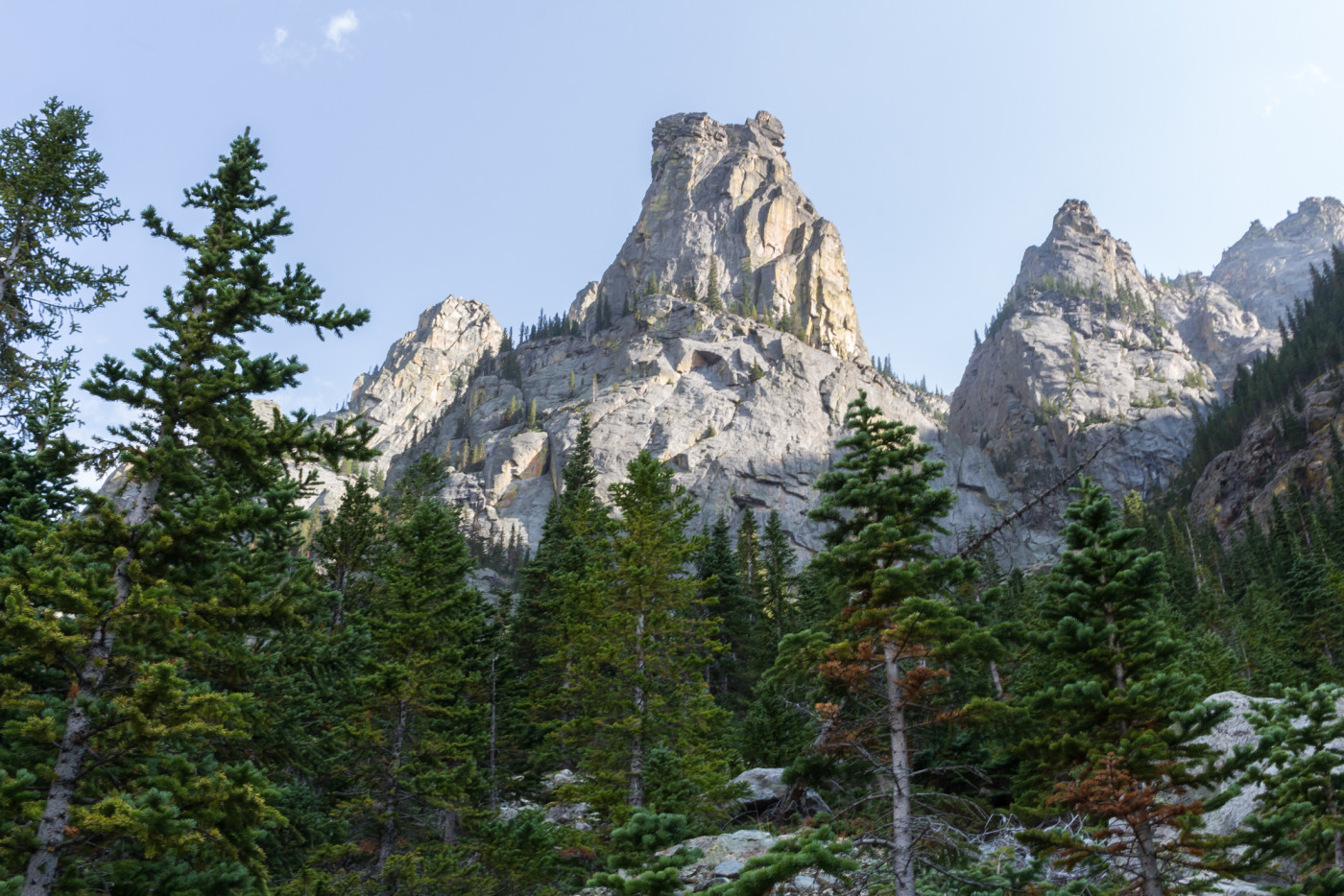
Along the way you’re treated to spectacular views of the valley and you can’t help but notice these enormous beartooth-shaped rock spires scattered along the ridges. I’m not sure what geological process is responsible for their formation but I suspect weathering and erosion play a key role. Interestingly they seem to be unique to the region and it’s obvious that the Beartooth’s got their name because of these spires.
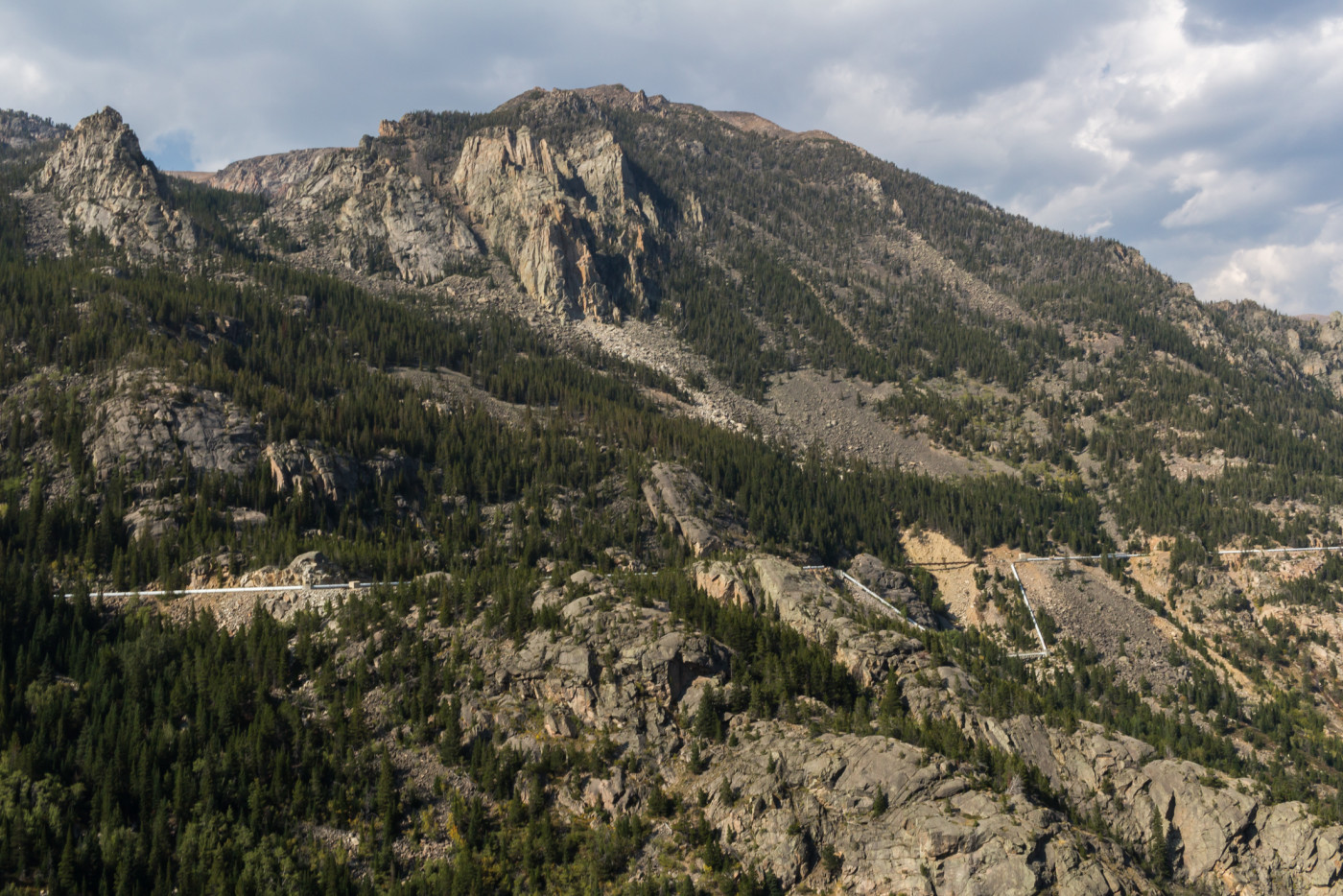
The pipeline impressively follows the entire length of the canyon. It blows my mind that they were able to do this so elegantly in the early 1900’s. “Beartooth” spire to the left.
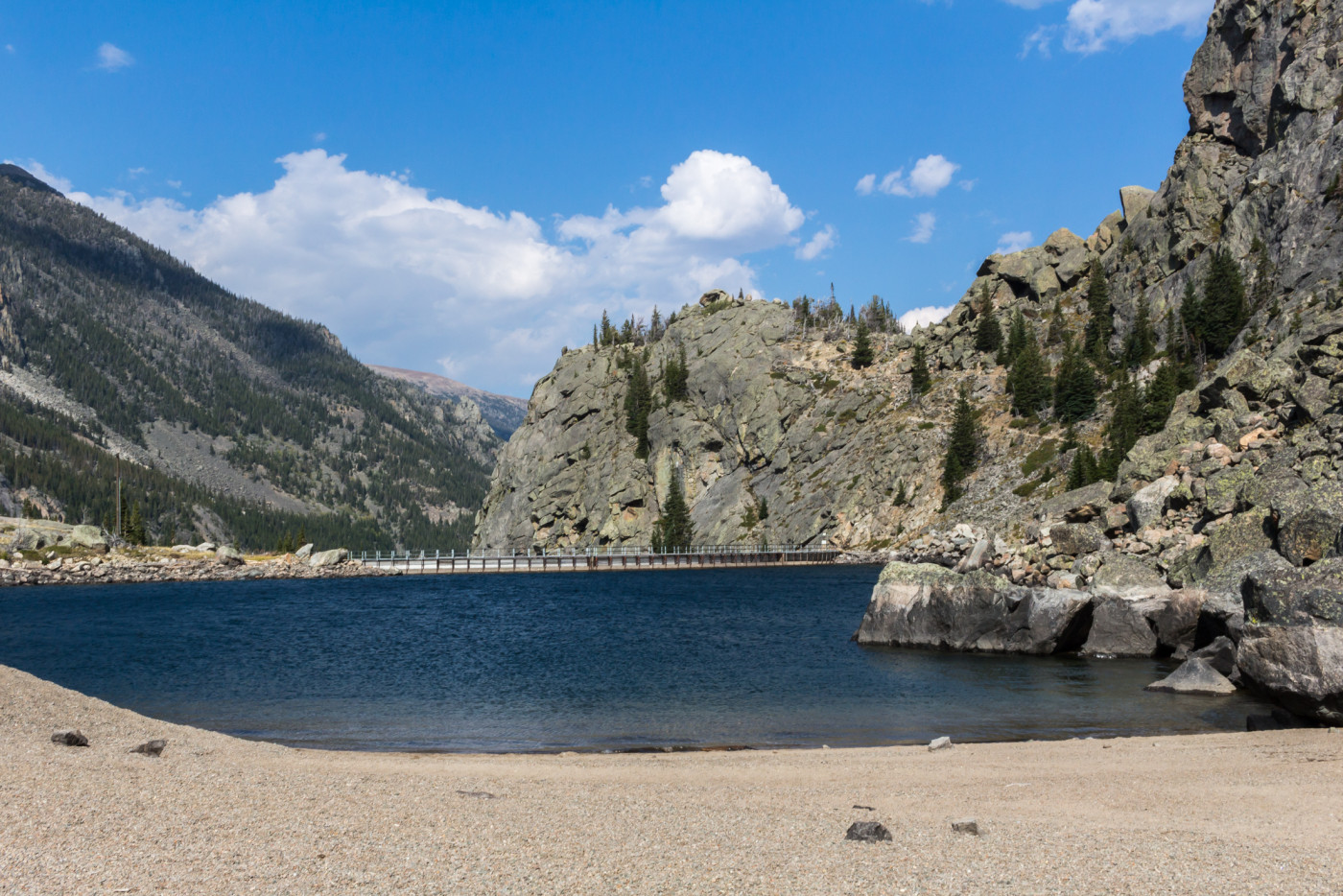
Mystic Lake
I was grateful when we finally made it up to the overlook above Mystic Lake. I’m well versed in the art of climbing steep terrain but doing it with a heavy pack on can get cumbersome. The views from the top are just incredible. The basin holding Mystic Lake is vast and extends for an incredible 2.5 miles. Sharp mountain peaks surround the lake to the north and the Froze-to-Death Plateau rises menacingly to the south. One look at the plateau and I knew deep down that it was out of the question for today; we’d have to settle for a campsite on Mystic Lake or Island Lake. The dam lies at the eastern end of the lake just outside the wilderness boundary. Normally man-made infrastructure detracts from an outdoor experience but I was astonished by the complexity of the design and feel it was incorporated well into the area.
View of Mystic Lake from the overlook.
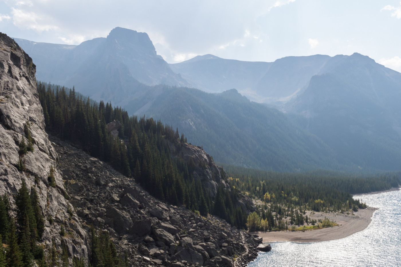
View of the Froze-to-Death Plateau from the overlook.
After a short breather we descended the overlook and made our way toward the beach on the southern shore for a quick lunch break. This massive beach is definitely unusual for Montana. It’s a wonderful break spot in the sun and there’s enough space for multiple parties. It was tempting to go for a swim in this crisp mountain lake but a person wouldn’t last long in the frigid waters.
View of Mystic Lake from the beach.
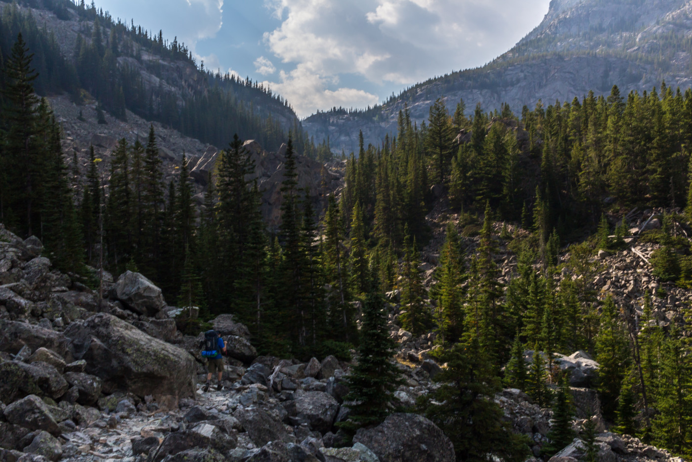
Re-energized, we followed the trail along the shoreline of the lake passing plenty of viable camping locations. At 3.1 miles the trail intersects the Phantom Creek Trail No. 17. Hellish switchbacks lead 3.5 miles up a staggering 2300′ to the Froze-to-Death Plateau, home to Montana’s highest point, Granite Peak. We decided that climbing up this monstrosity today was simply not feasible given the circumstances so we pressed onward towards Island Lake. One of the many nearby sites could be used as a base camp for a future expedition up to the plateau.
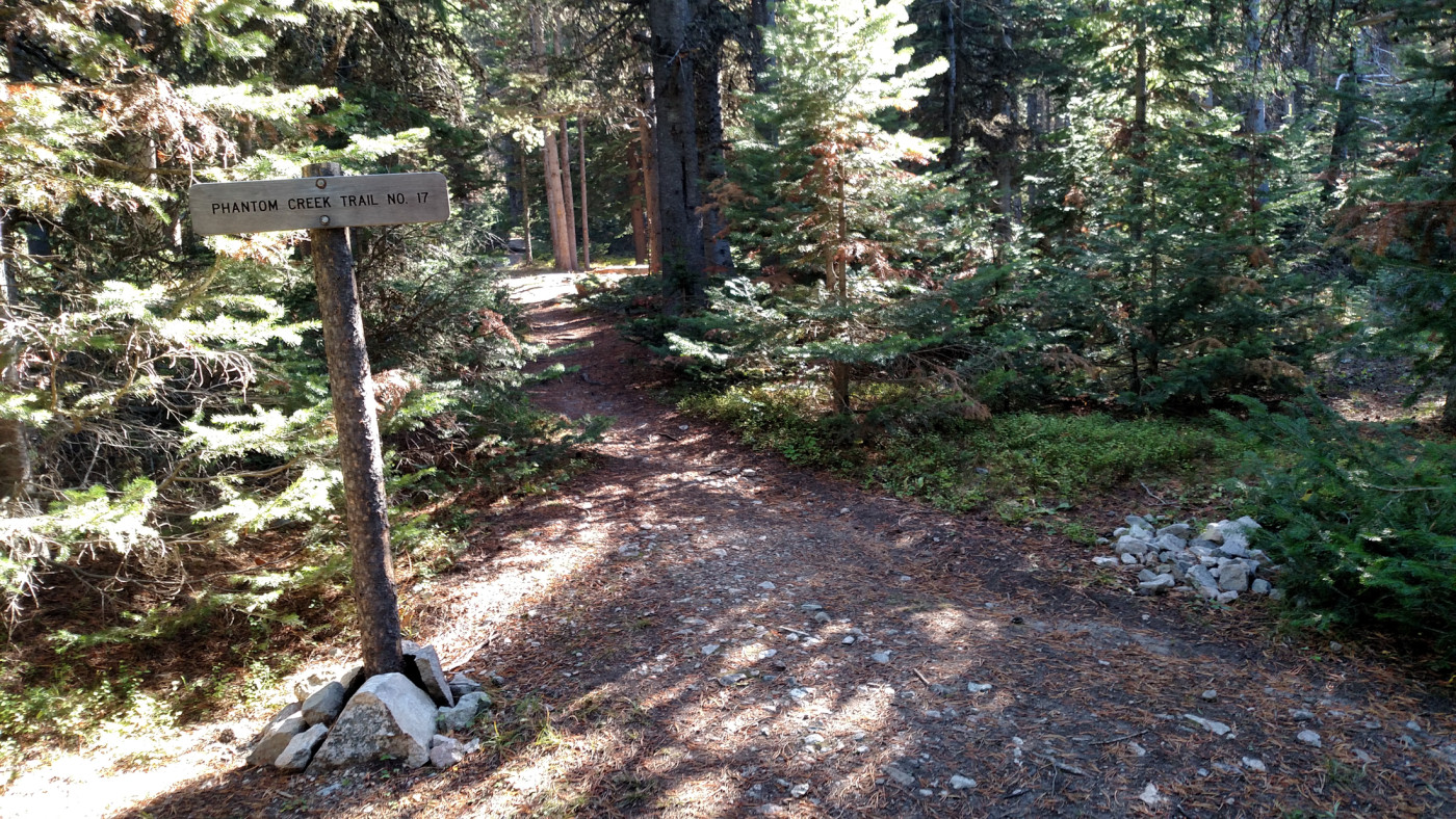
Intersection with Phantom Creek Trail No. 17.
Just when I thought we were done with uphill the trail began to ascend again up a 200′ hump to avoid a cliffy section of the shoreline. There are some openings in the woods that reveal a very distinct, horn-shaped peak to the northwest called the Mystic Equinox Tower (I have no idea where this name came from). It’s actually a false summit of the even taller Mount Hague (12,323′) which sits directly behind the tower, completely hidden from view. We took a moment to evaluate the potential routes up to the tower. It looks doable from the south but more research is needed to determine an optimal route. I will definitely return someday to conquer the tower and hopefully Mount Hague at the same time.
Mystic Equinox Tower.
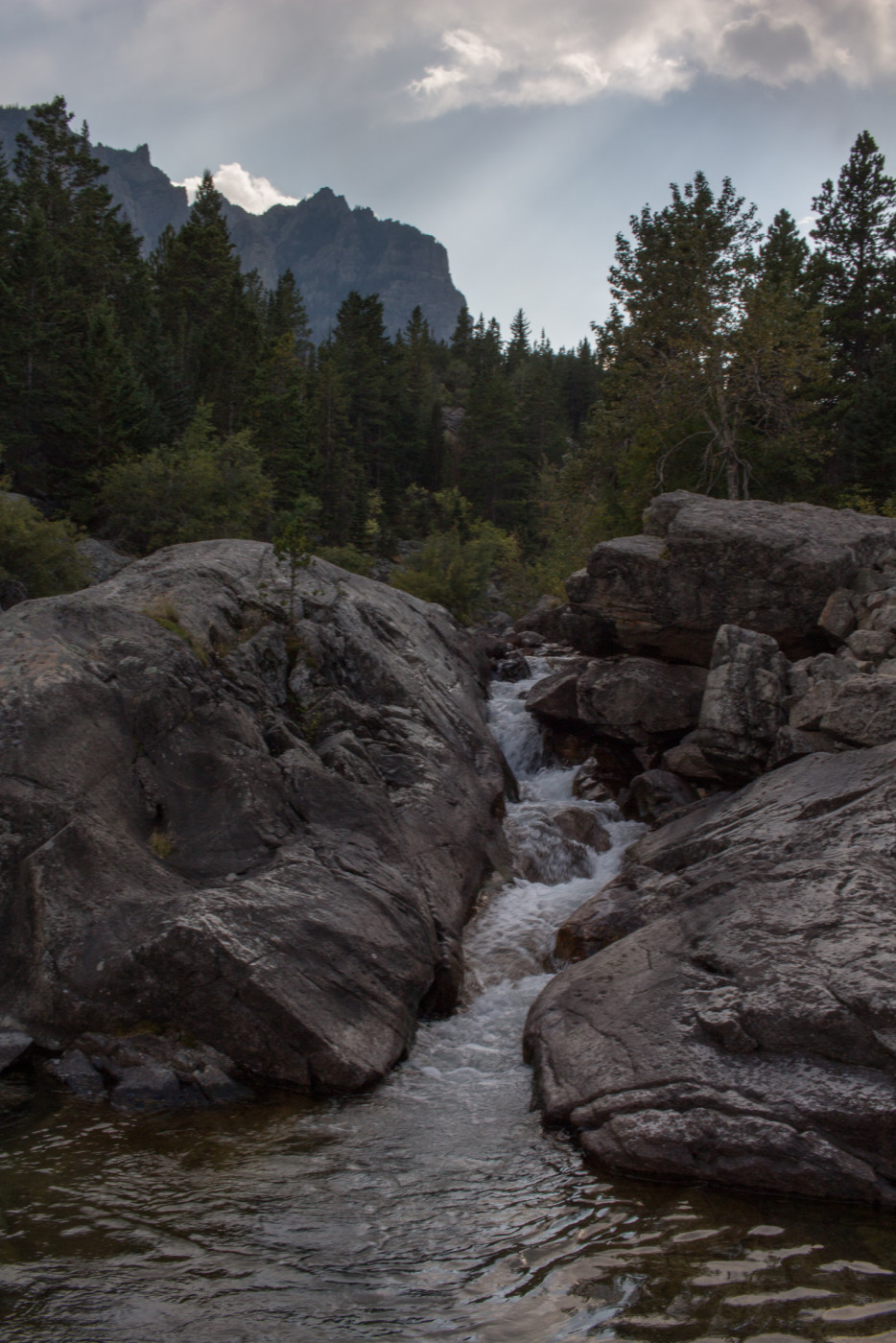
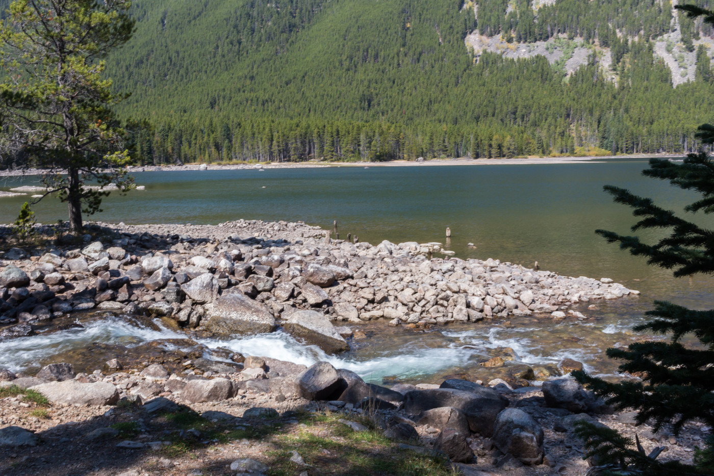
Less than a mile ahead you’re back at the lake and following the shoreline again. The trail crosses Huckleberry Creek near the western end of Mystic Lake. Several well-trodden trails head up the creek in the direction of Huckleberry Lake a short distance upstream. Those itching for more adventure could hike even further upstream to Princess Lake and for the true backcountry gurus, Avalanche Lake and Storm Lakes lie even deeper within the mountain fortress. This area of the Beartooths offers so many options it’s disgusting.
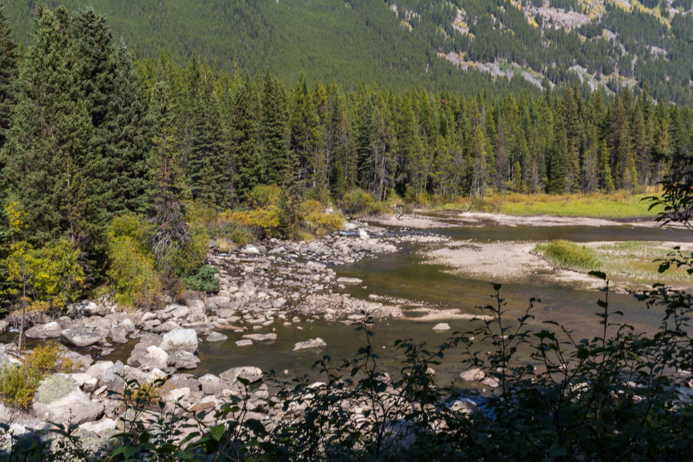
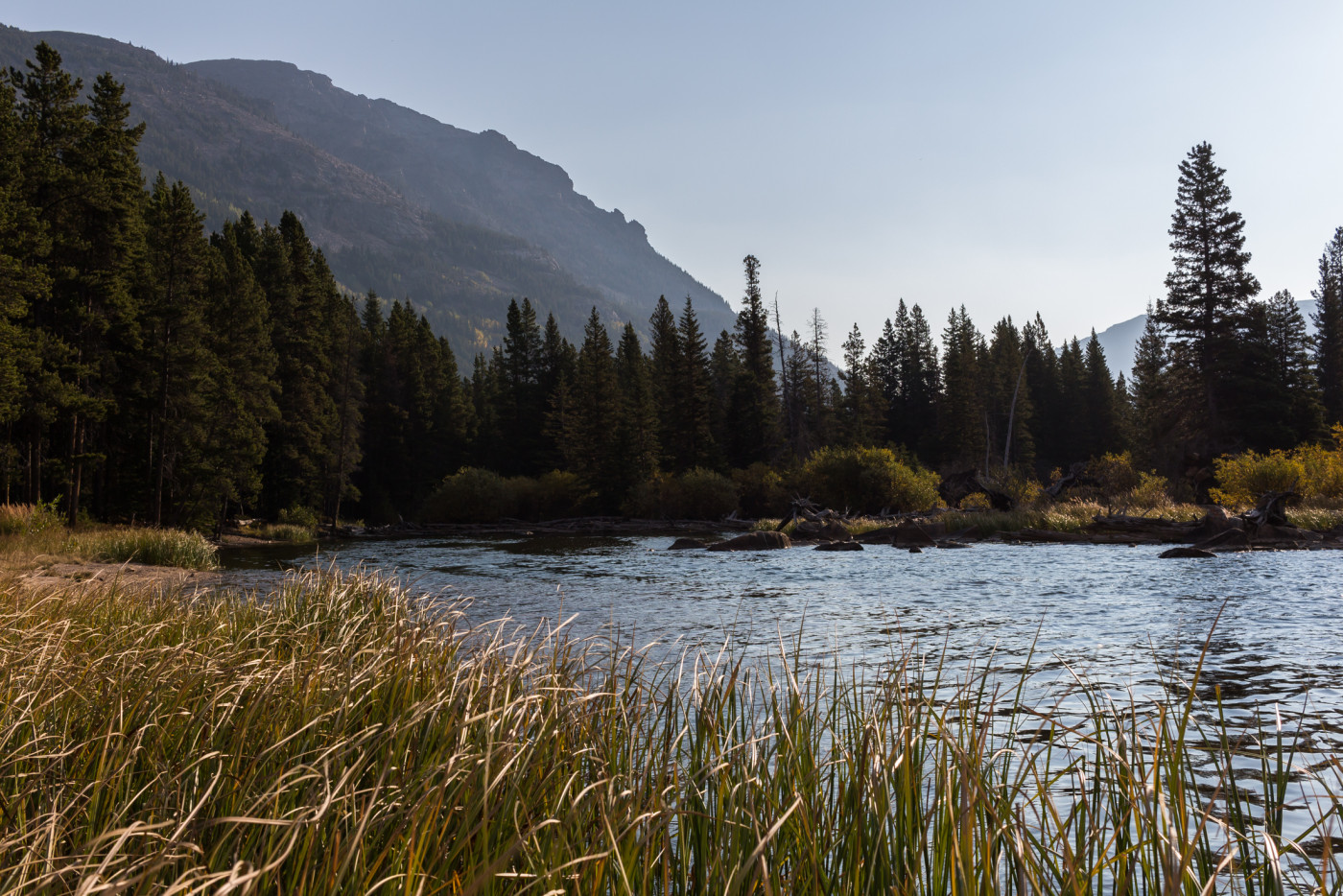
Backwaters between Mystic Lake and Island Lake.
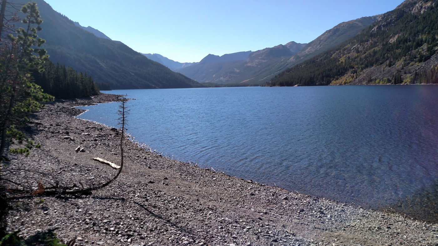
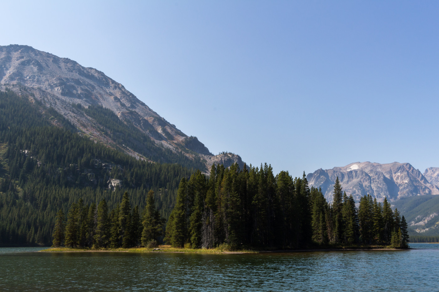
Island Lake
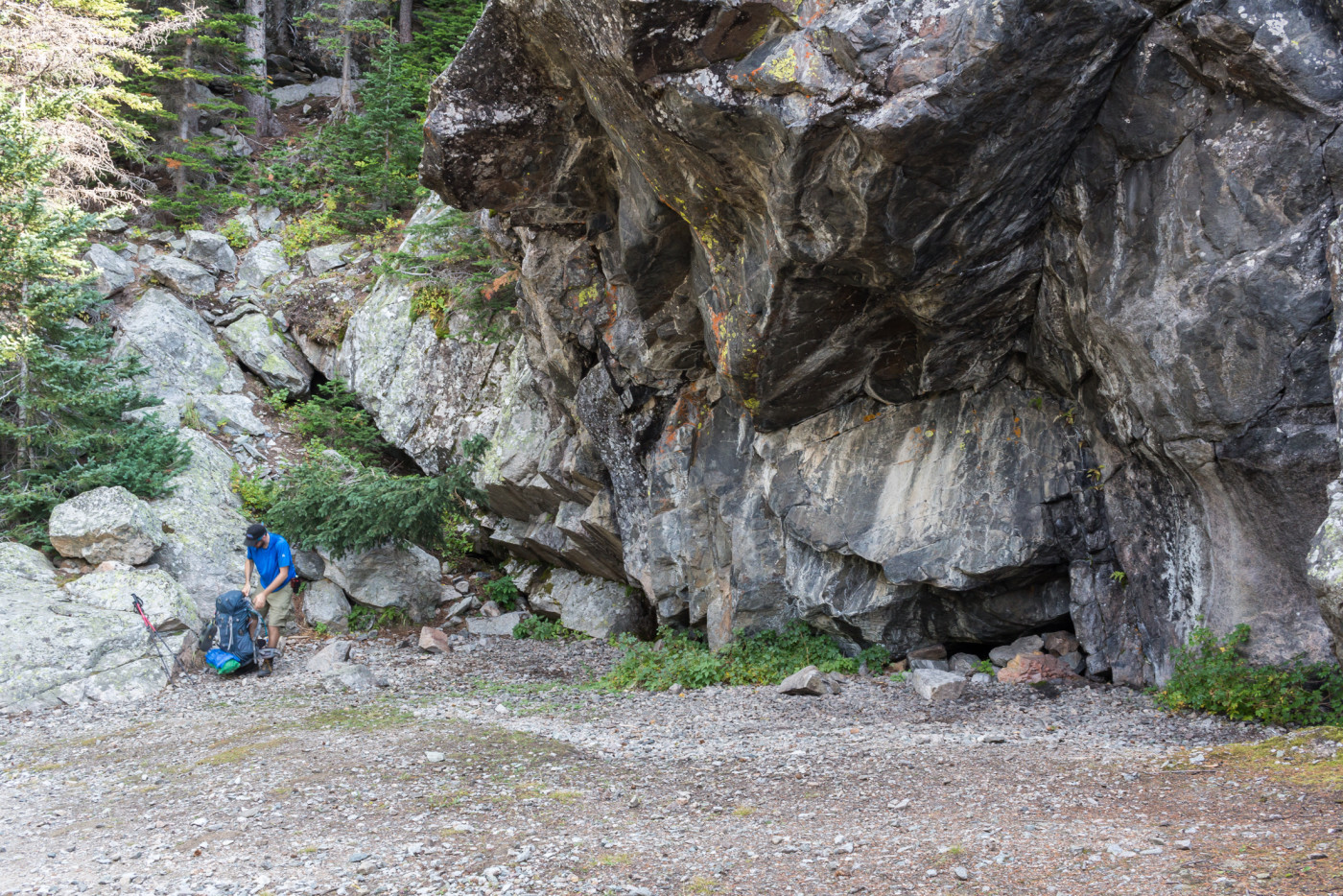
We pushed forward along the final stretch and were at the eastern shores of Island Lake in no time. Island Lake, although not quite as large as Mystic Lake, is equally as impressive. It’s surrounded by tall mountain peaks and earned its name because of a large island in the center of the lake. We surveyed the nearby shores hoping to find a site within reasonable distance. The northern shore looked promising so we took off in that direction. A log jam conveniently allowed us to cross the channel between the two lakes and upon entering the woods the perfect camping spot was revealed.
A log jam conveniently allowed us to cross the channel between the two lakes and upon entering the woods the perfect camping spot was revealed.
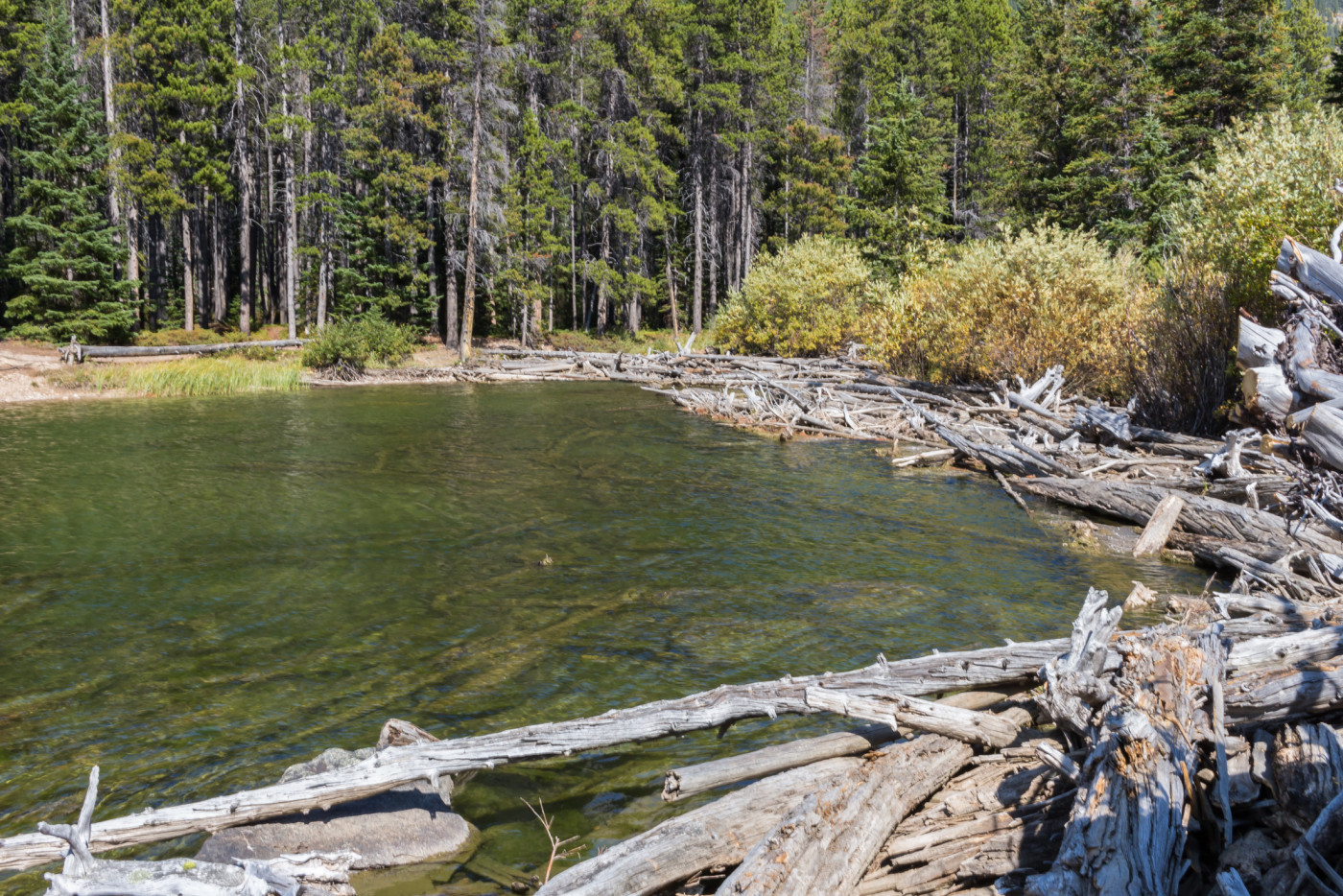
The log jam leading to the campsite.
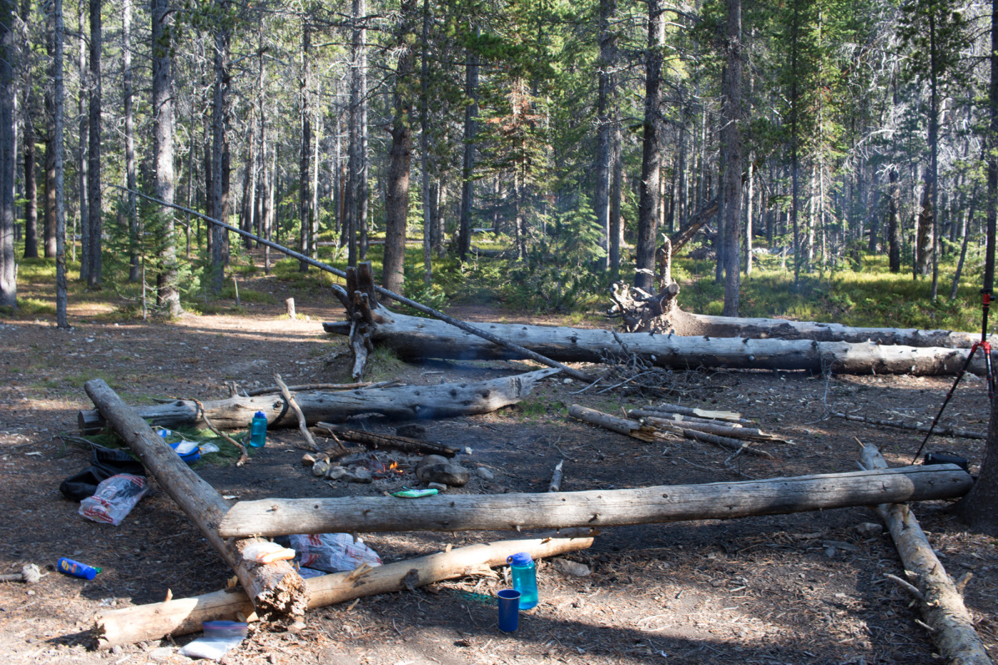
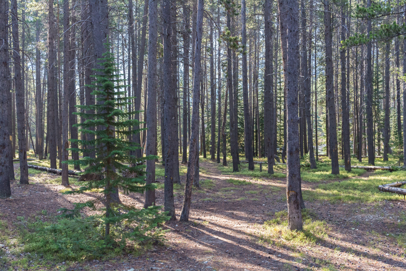
The forest around the site has a very open feel. There’s very little undergrowth and one can freely roam around without tripping over debris. You could pitch a tent almost anywhere so we chose a flat area right on the shoreline, a good distance away from the fire area. If possible, it’s always a good idea to keep some distance between your sleeping and eating areas to minimize the chances of a bear encounter.
The area around the fire pit.
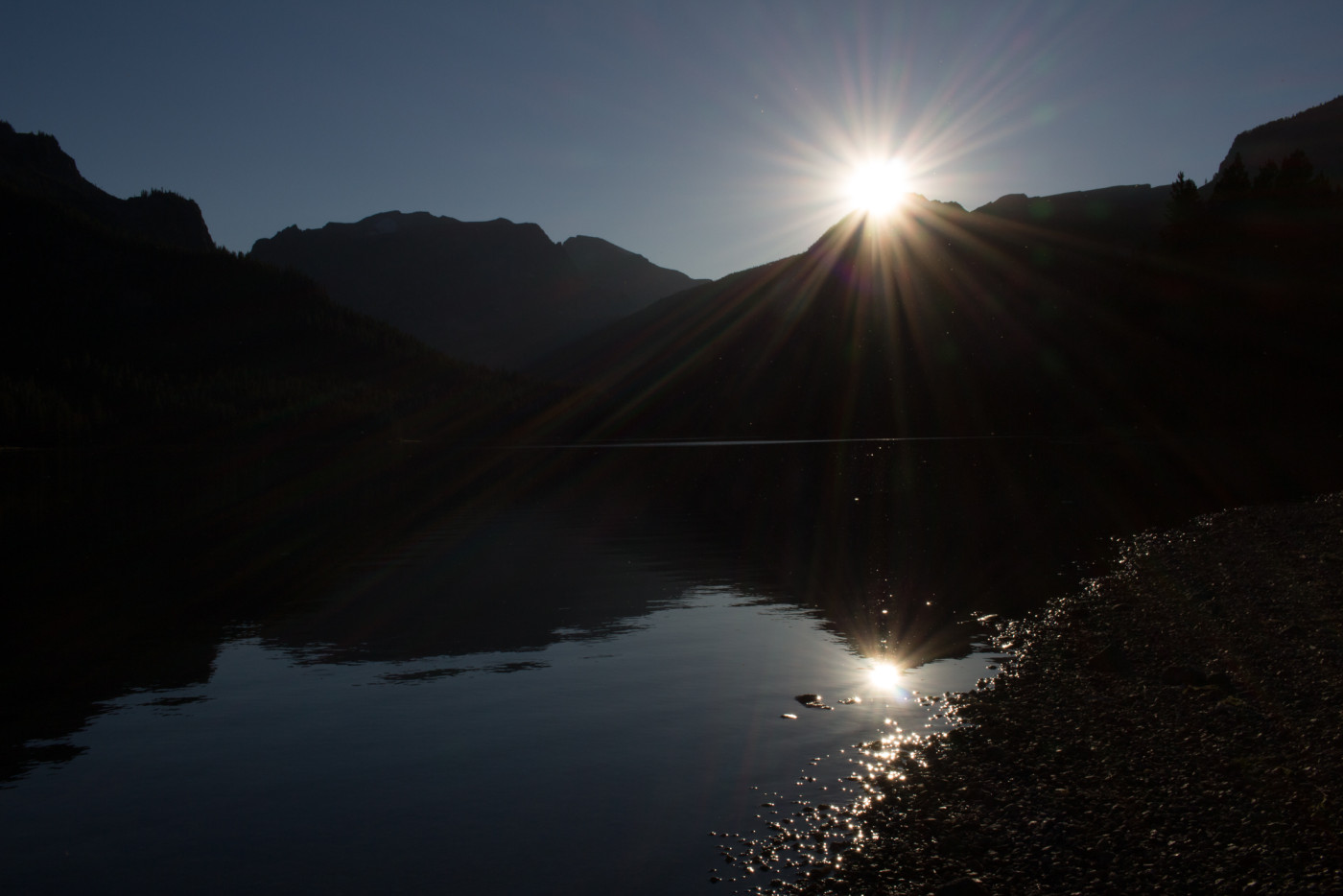
Before setting up camp I pulled out the camera and snapped a few pictures of the sun as it set precisely below the apex.
The Froze-to-Death Plateau. How wondrous it would be to experience the sunset from up there.
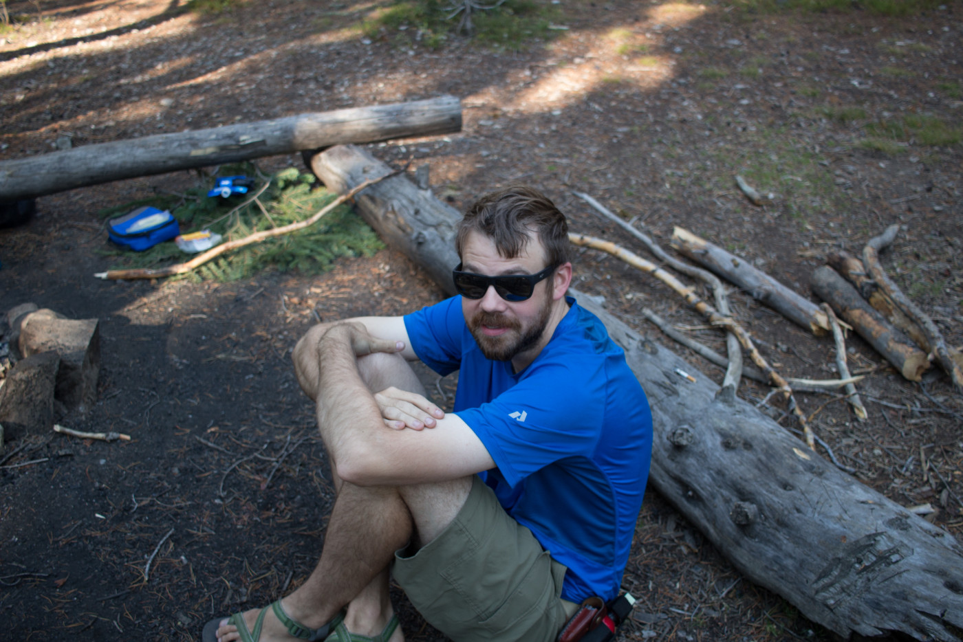
Once camp was established we got a fire going and prepared to feast. I was excited to use a small cast iron skillet that I lugged up for the first time and once the coals were ready I fried up some delicious sausage stir-fry. Food comas set in shortly after and, feeling fatigued from the hike, we wallowed back to our tents to enjoy a comforting rest.
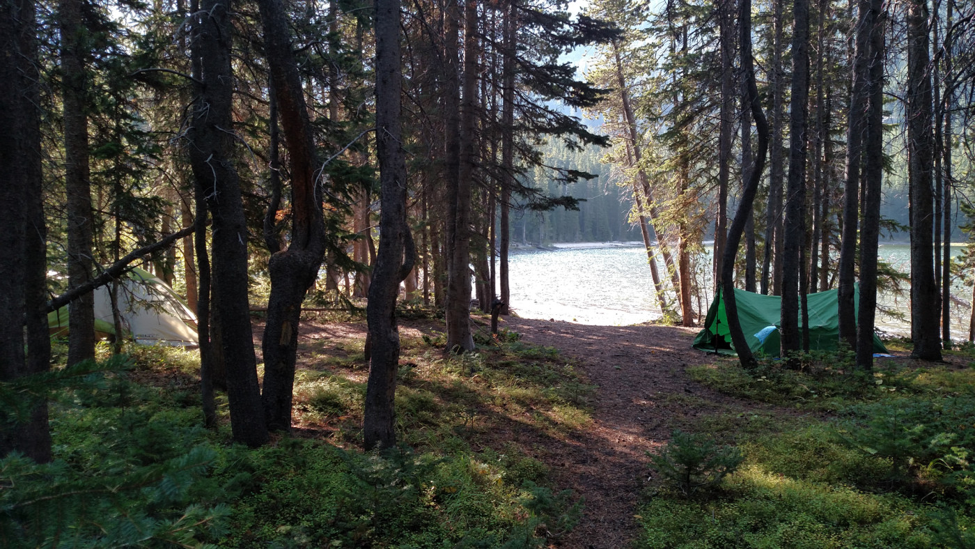
Pitched our tents right on the shoreline.
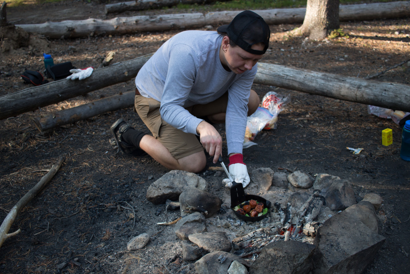
Cooking up some delicious sausage stir-fry.
Exploring the lake
The next morning we decided to explore a bit more of the lake. Usually we don’t linger around too long in the morning but we drove three frickin’ hours and I was going to absorb as much nature as possible. So after breakfast we followed an unofficial trail west through the forest which was starting to come alive with the morning sun. This unofficial trail actually leads an additional 2.5 miles further to Silver Lake, another destination worth investigating. There’re tons of campsites in the area but somehow there was no one around to occupy them. Where were the crowds that are responsible for making these sites? This was prime backpacking season!
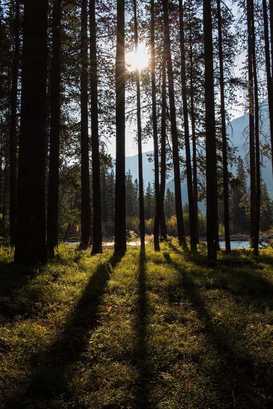
Early mornin’ shot of the woods.
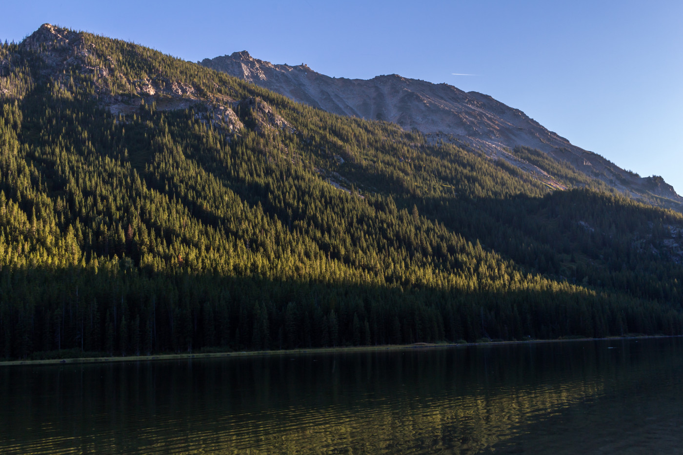
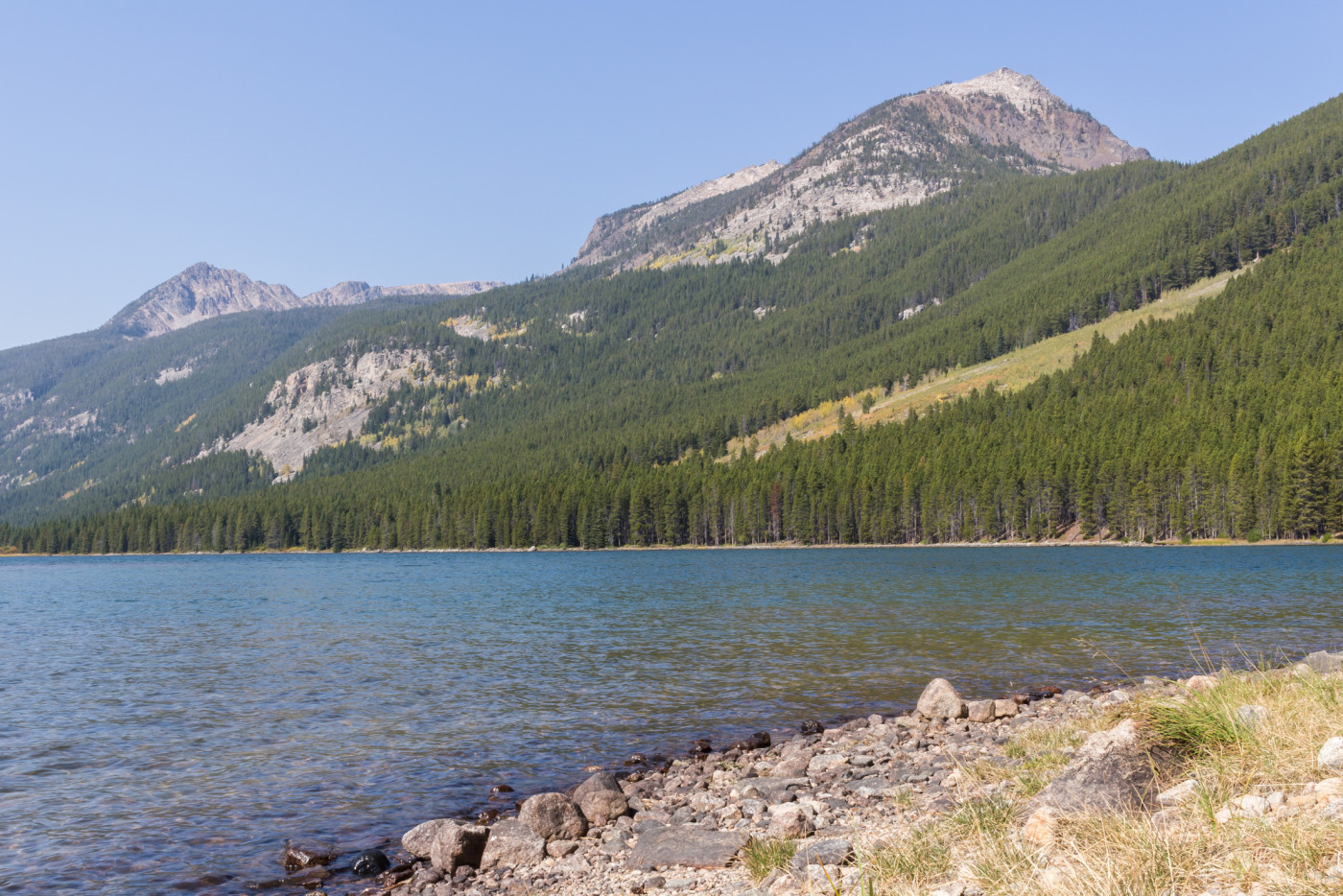
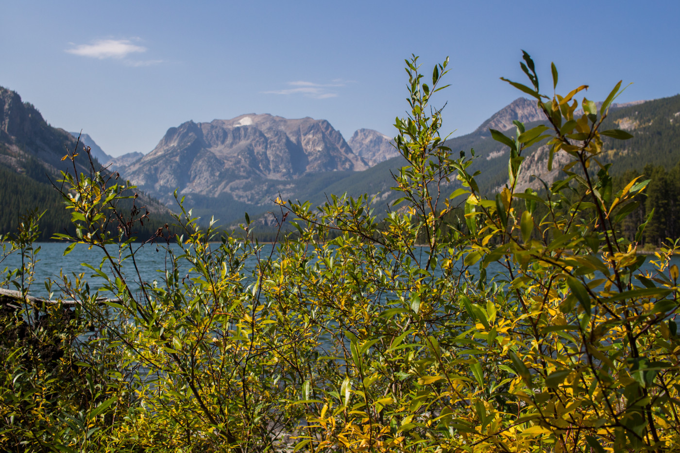
Island Lake.
After a short walk we emerged on a rocky shoreline, face-to-face with the Island Lake island. The island is surprisingly large and suitable for camping if you get your gear over there. We briefly joked about swimming it over in an inflatable raft. I really just wanted to stick around all day exploring the lake and nearby slopes but there was a long hike ahead of us followed by an even longer drive home so we high-tailed it back to pack up camp.
The Island Lake island.
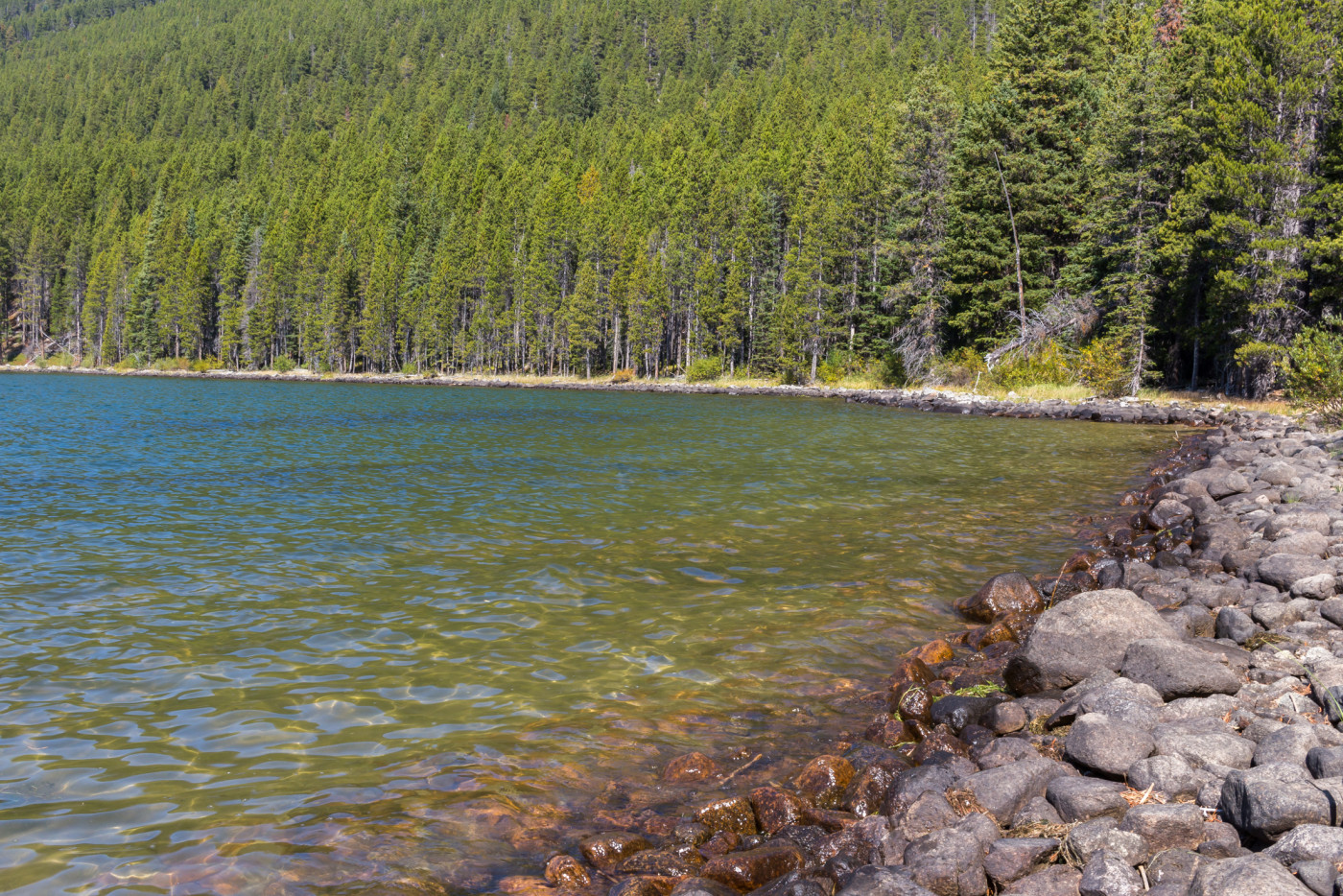
The rocky shoreline of Island Lake.
The Return
We must’ve experienced some serious time dilation because it took just forever to get back to the car. Maybe it was the extreme hunger that kicked in just before the Mystic Lake; what remained of the good food had been devoured in the morning and all I had left was an emergency stash of mixed nuts which simply wasn’t going to satisfy my unrelenting appetite.
Once our gear was all packed we raced out of the mountains in search of a greasy meal and stopped at the first gas station we could find, a very “local” Rockin’ J at the turnoff for Highway 78. Unfortunately the selection was limited and all they had for greasy stuff was a stale old sandwich that had been sitting on the warming rack all day. But it would have to do, I would’ve let myself starve before eating another handful of mixed nuts.
There was plenty of down time on the drive back to reflect on what was such an epic experience. I was in zombie-mode anyway so reflect was about all I could do. The Beartooths could be checked off the list but there were countless reasons to return and I was already overcome with excitement thinking about our next visit.
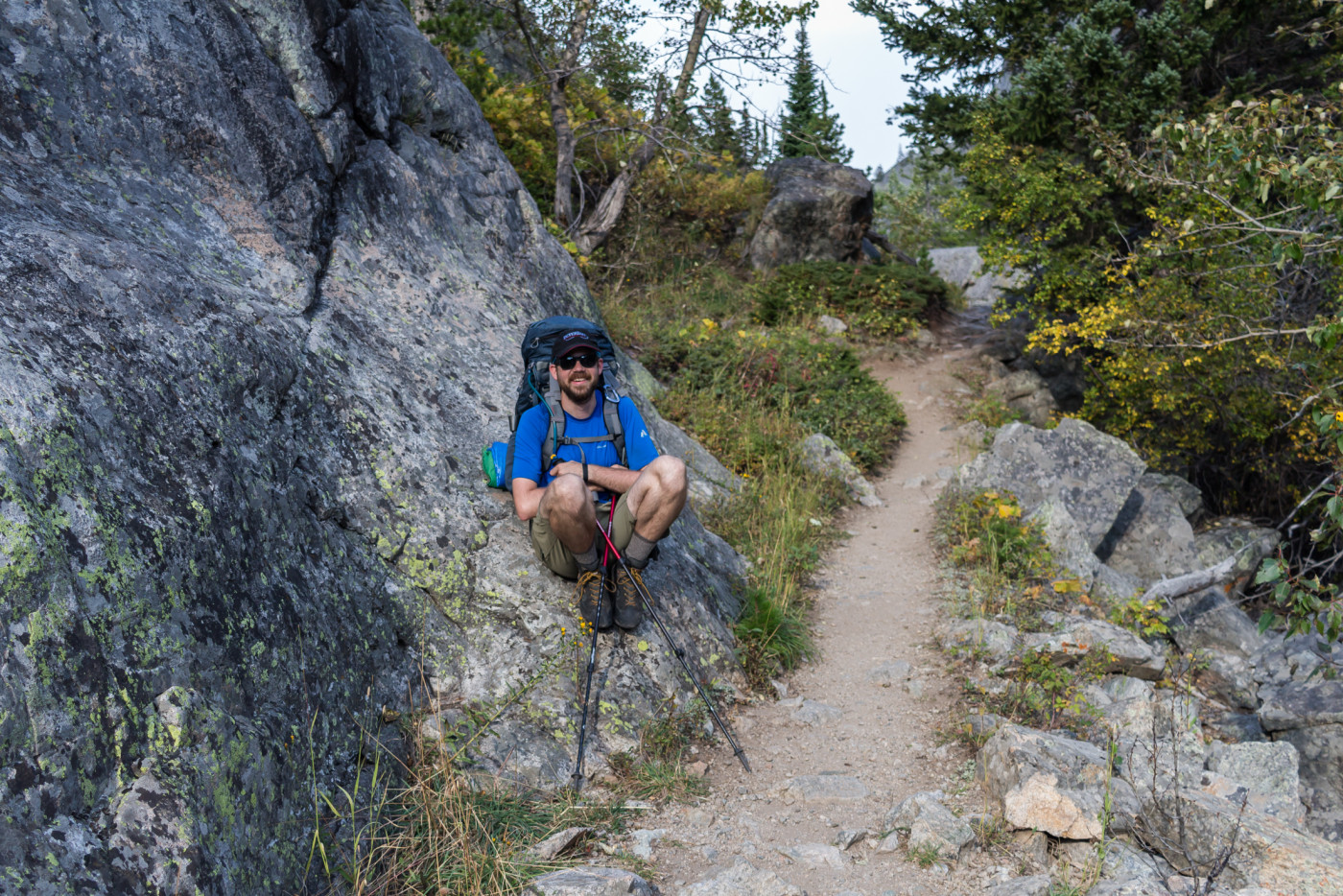
Taking a quick breather near the end.
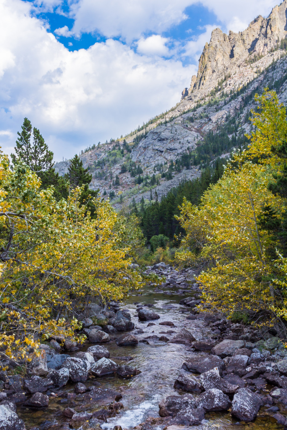
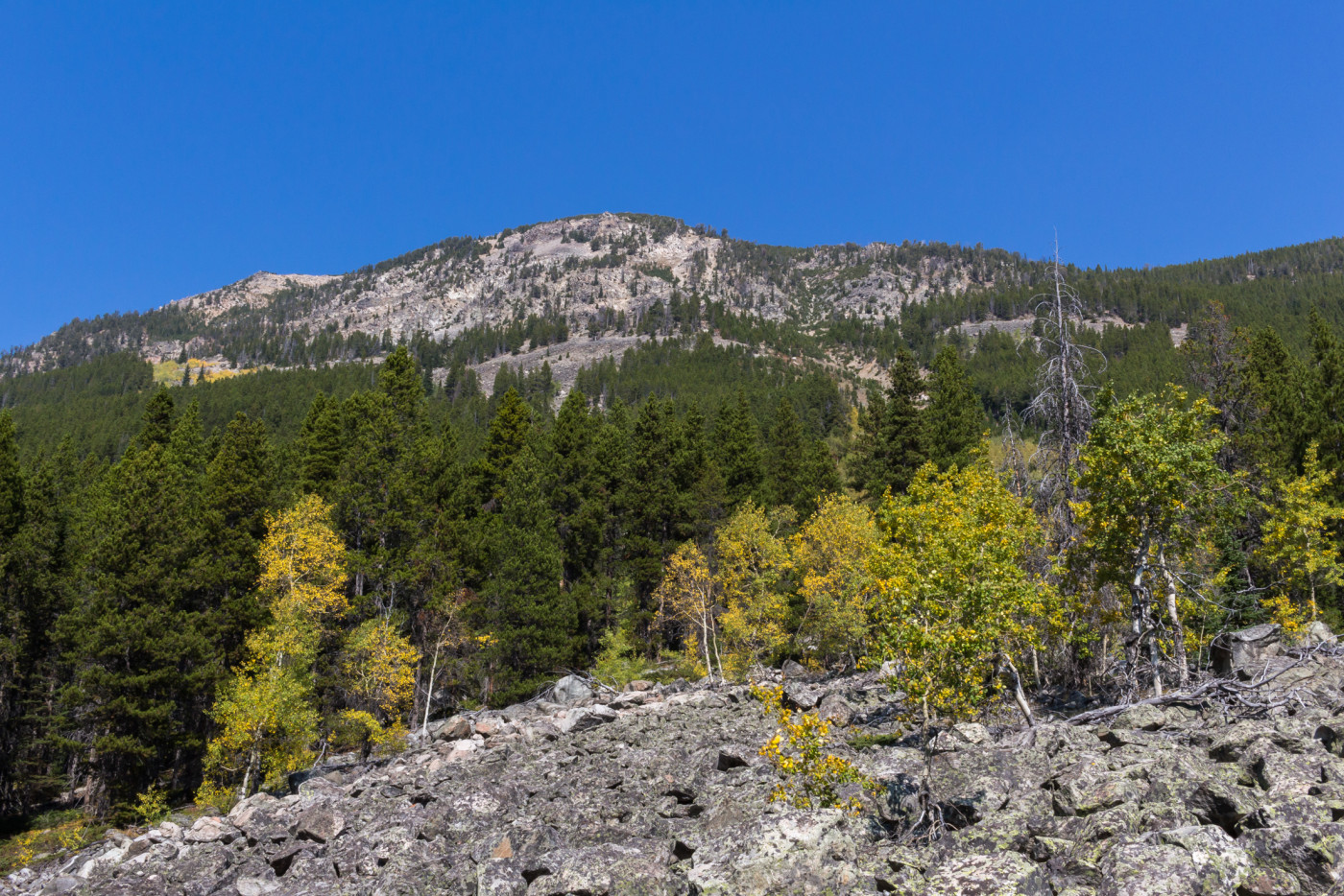
Beautiful fall colors.
There is grandeur in this view of life, with its several powers, having been originally breathed into a few forms or into one; and that, whilst this planet has gone cycling on according to the fixed law of gravity, from so simple a beginning endless forms most beautiful and most wonderful have been, and are being, evolved.
-Charles Darwin
